

The Jurassic Coast
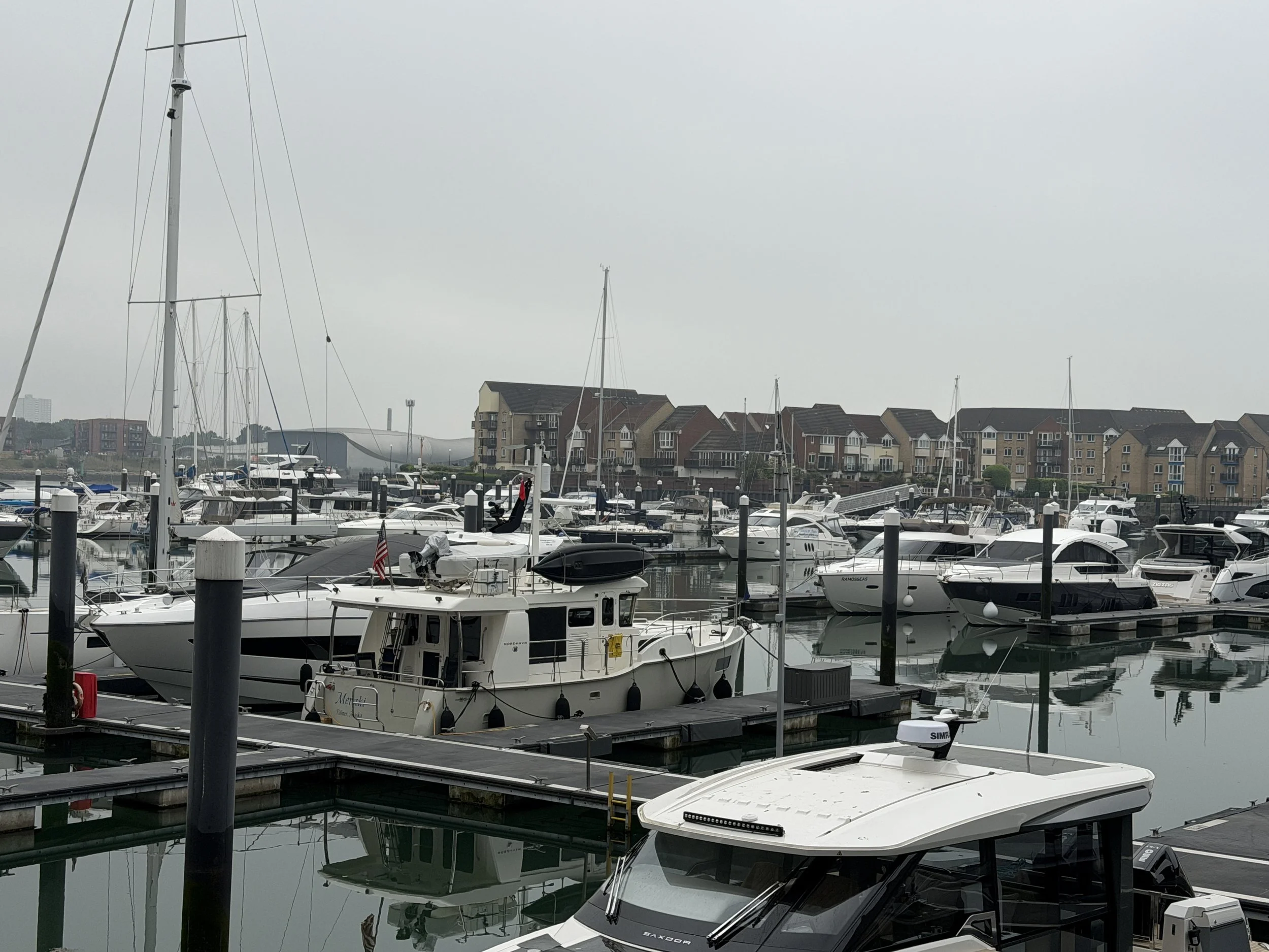
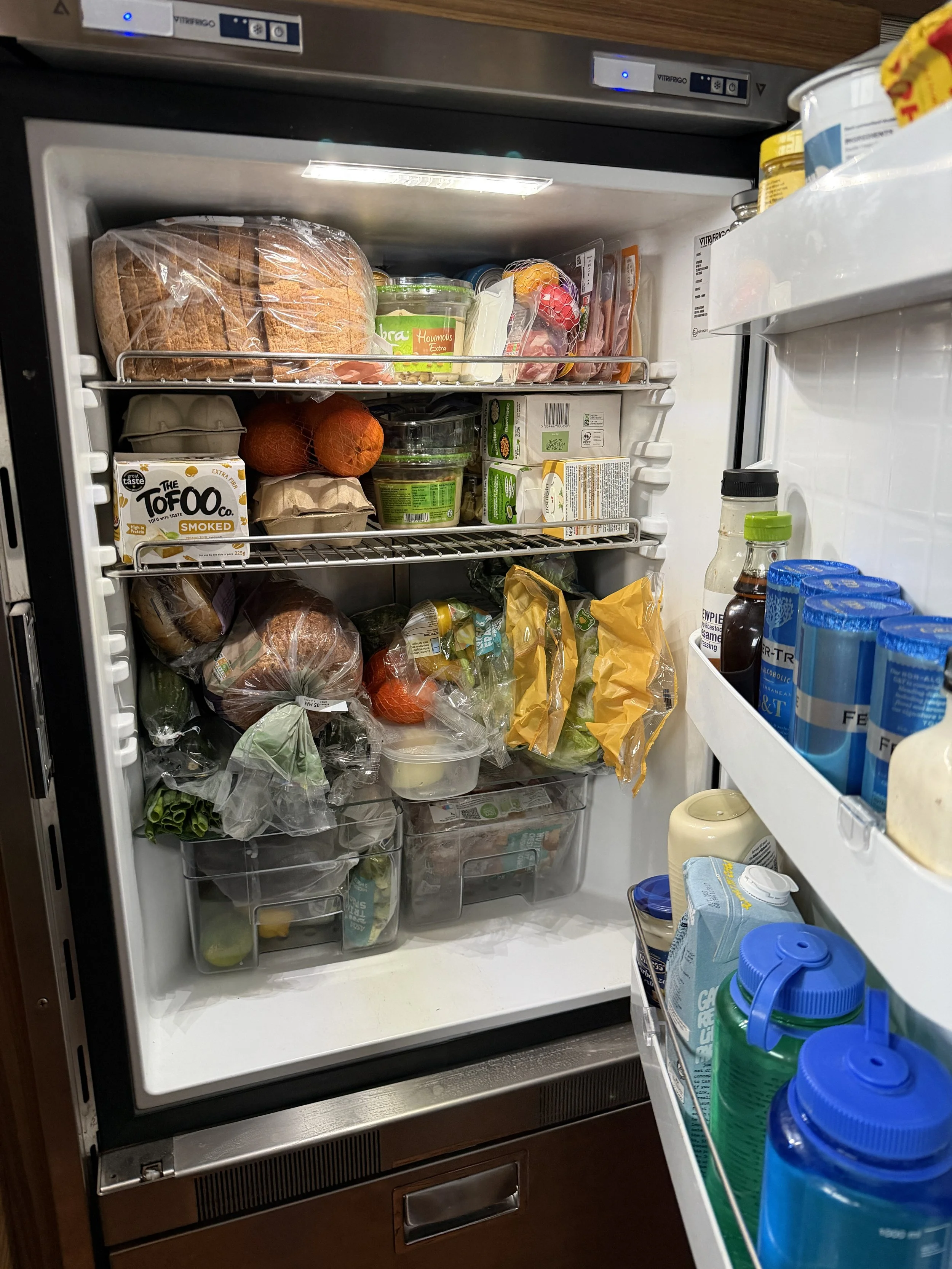
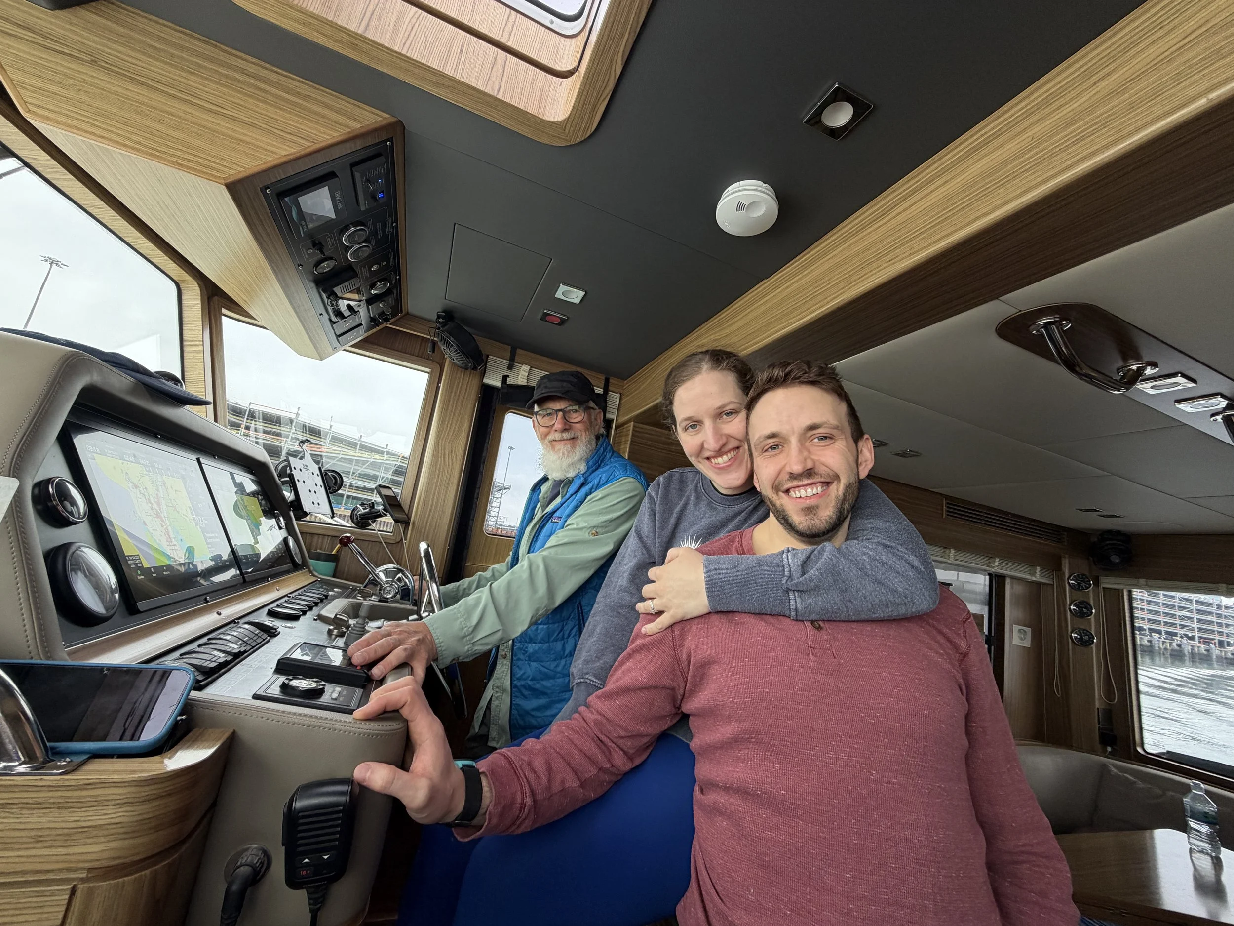
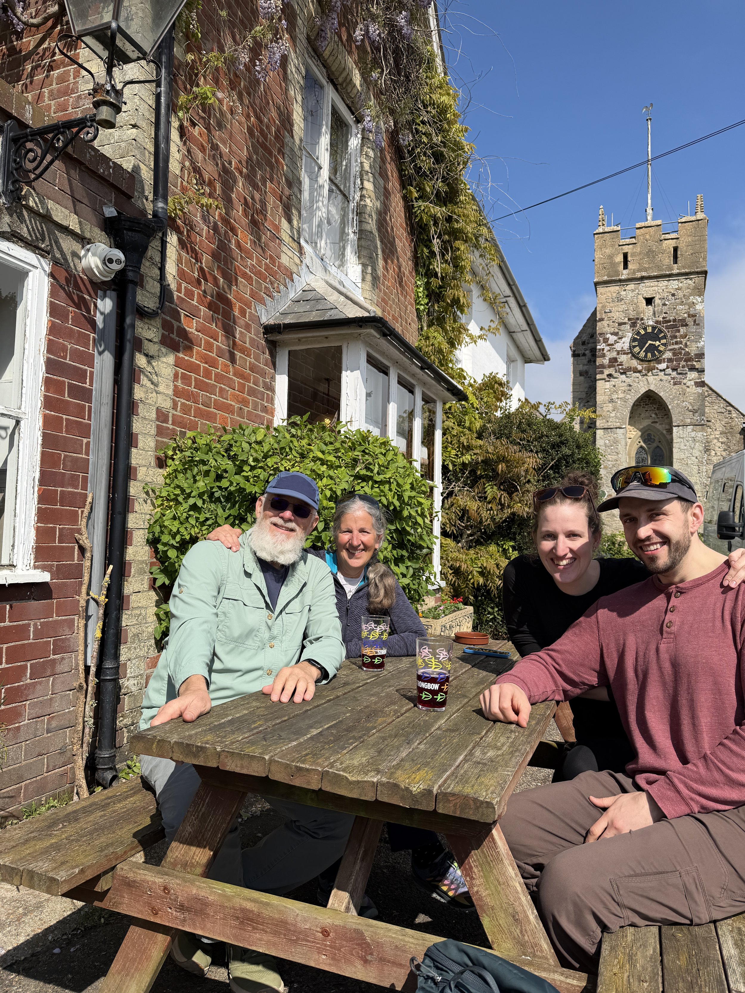
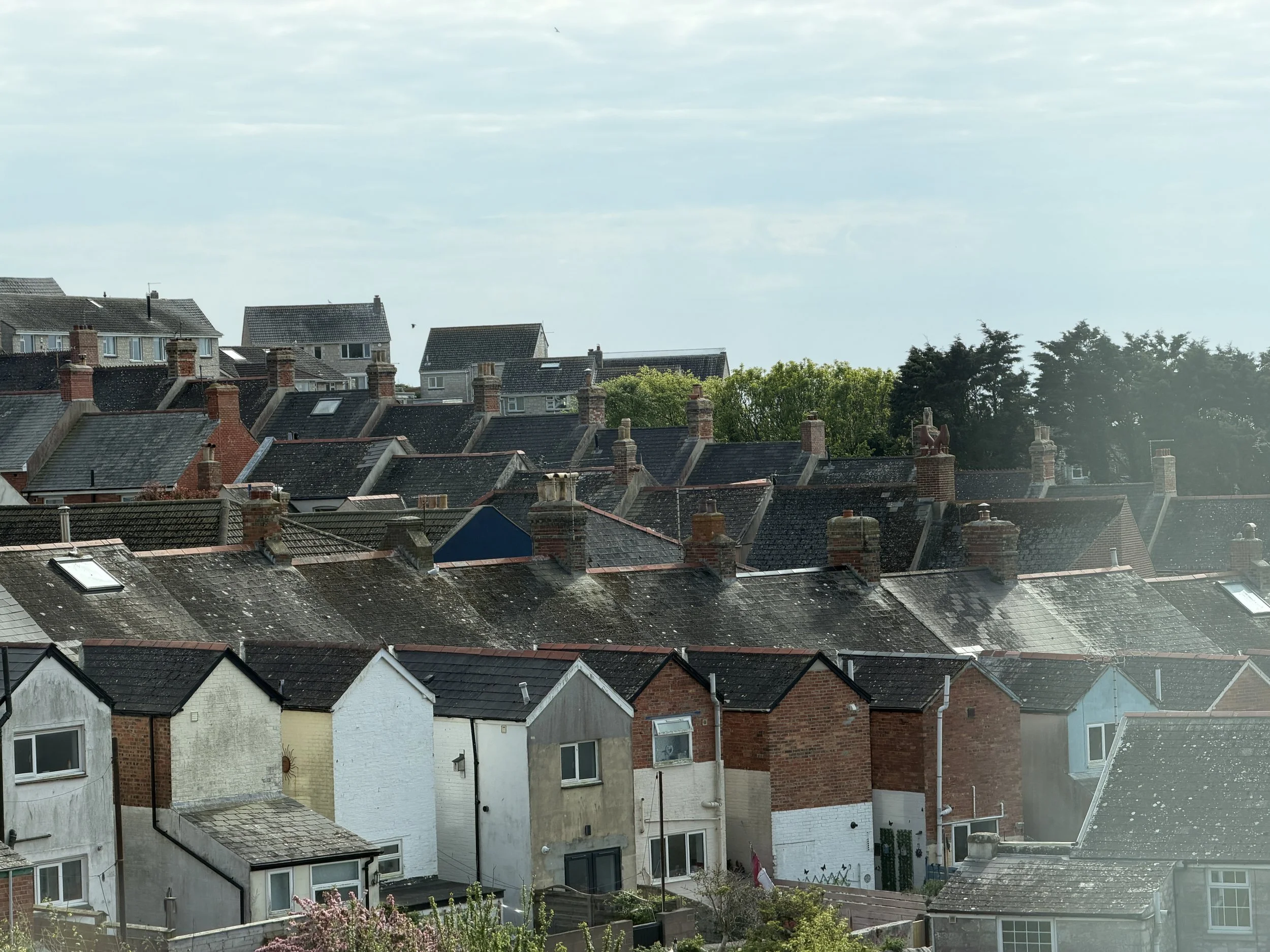
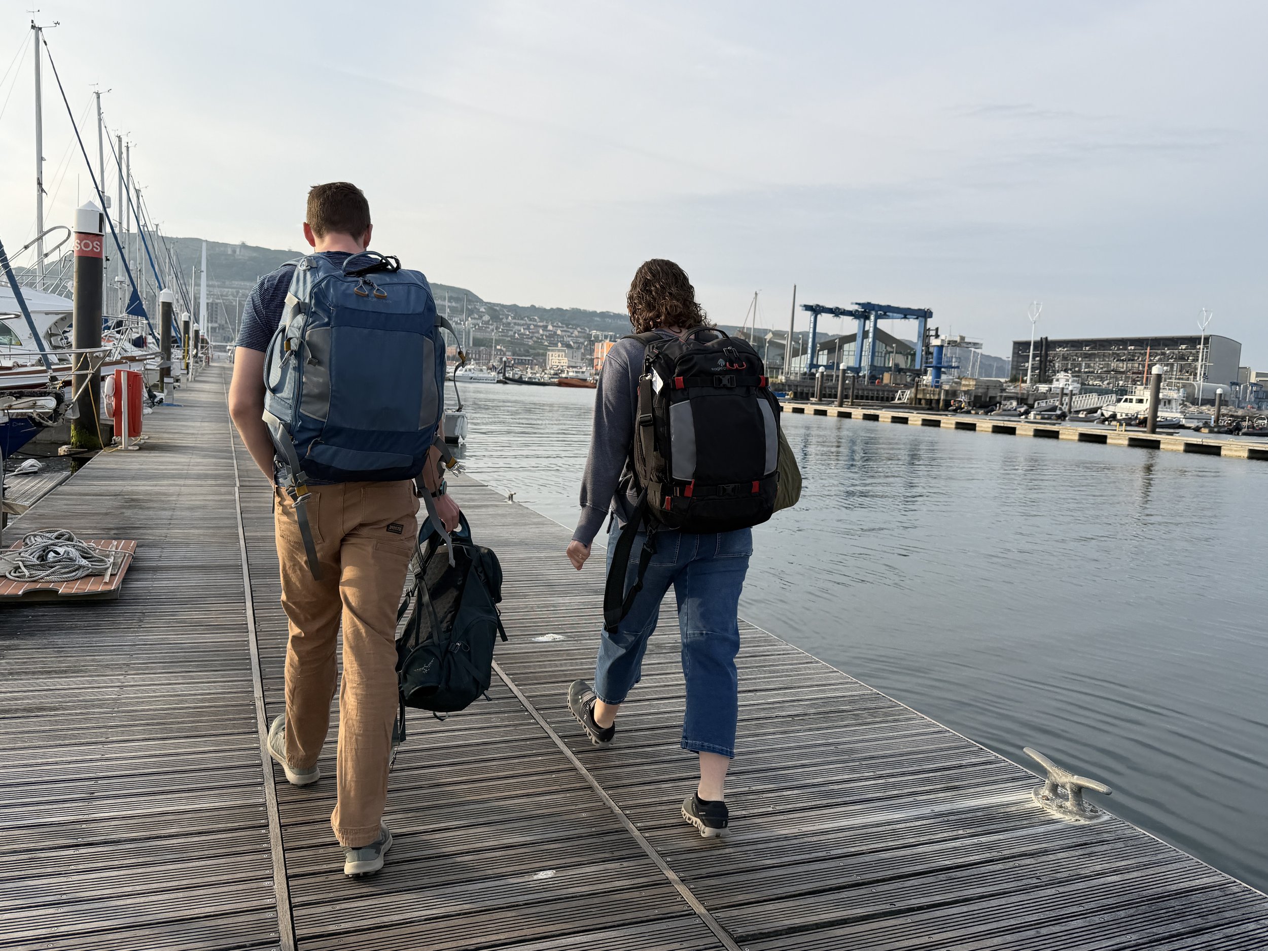
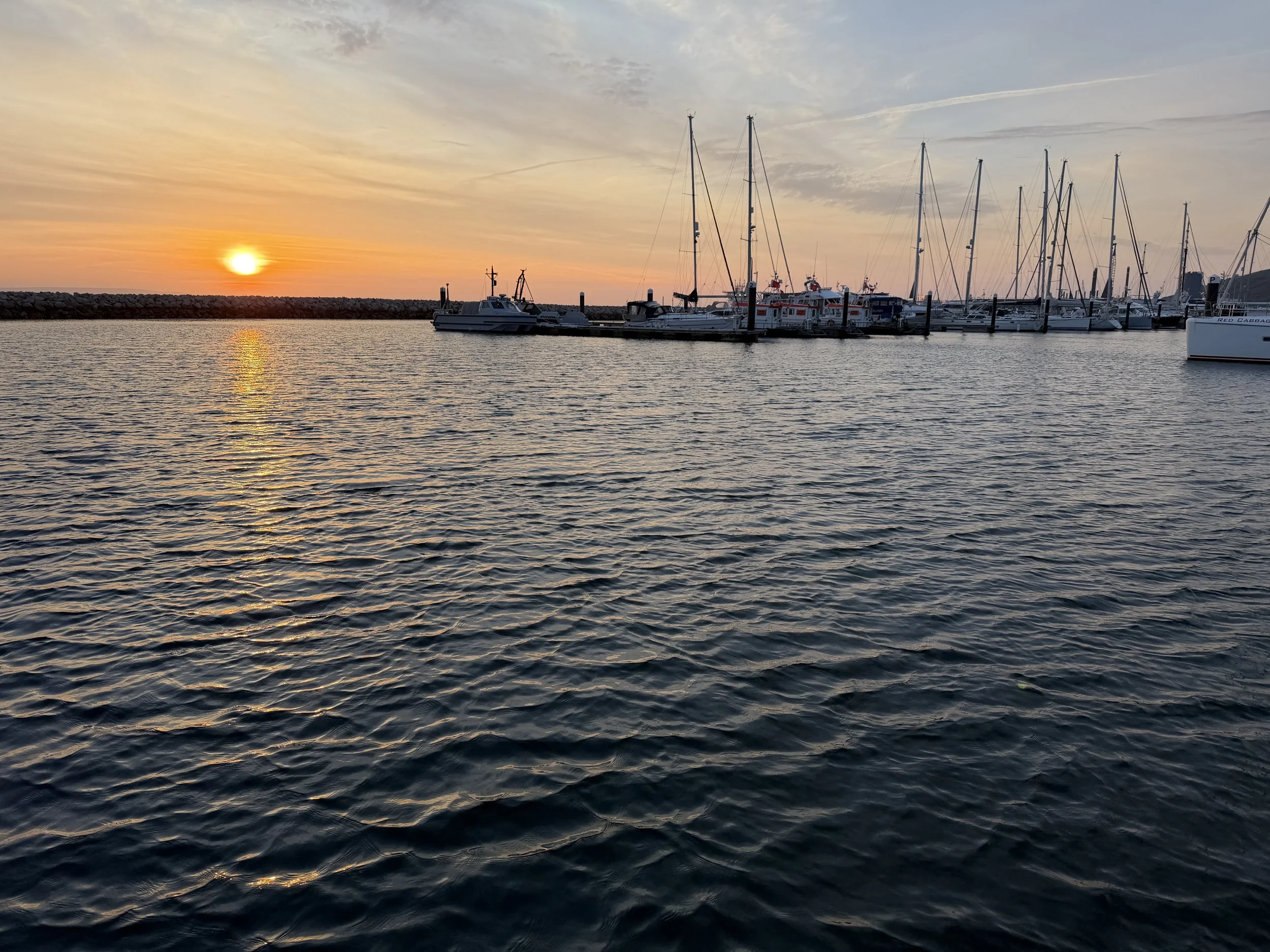
The month of May rolled in with a visit from two of our children. Tom and I had walked nearly all over Southampton by then, picking up a much needed Pilot Guide, a nautical chart and LOTS of food. The kids arrived mid day and we gave them the rest of the day to rest and adjust to the 9 hour time change before venturing off. We cruised to the Isle of Wight the next day, this time to the town of Yarmouth.
We’d just learned it was a three day weekend and upon arriving in the harbor we were asked to raft up to another boat. Not our favorite way to berth, but doable just the same. There was lots of partying going on in the marina that night.
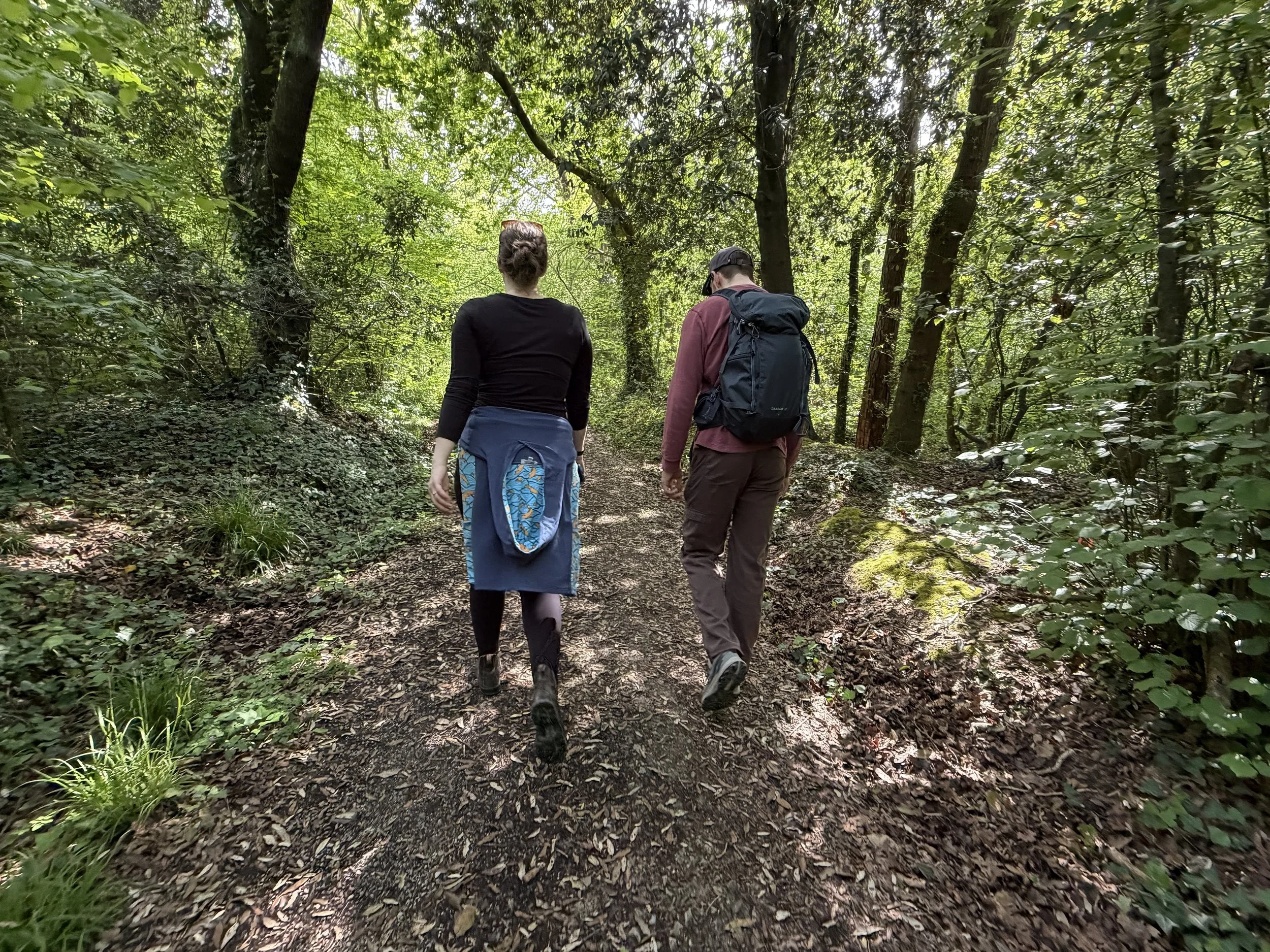
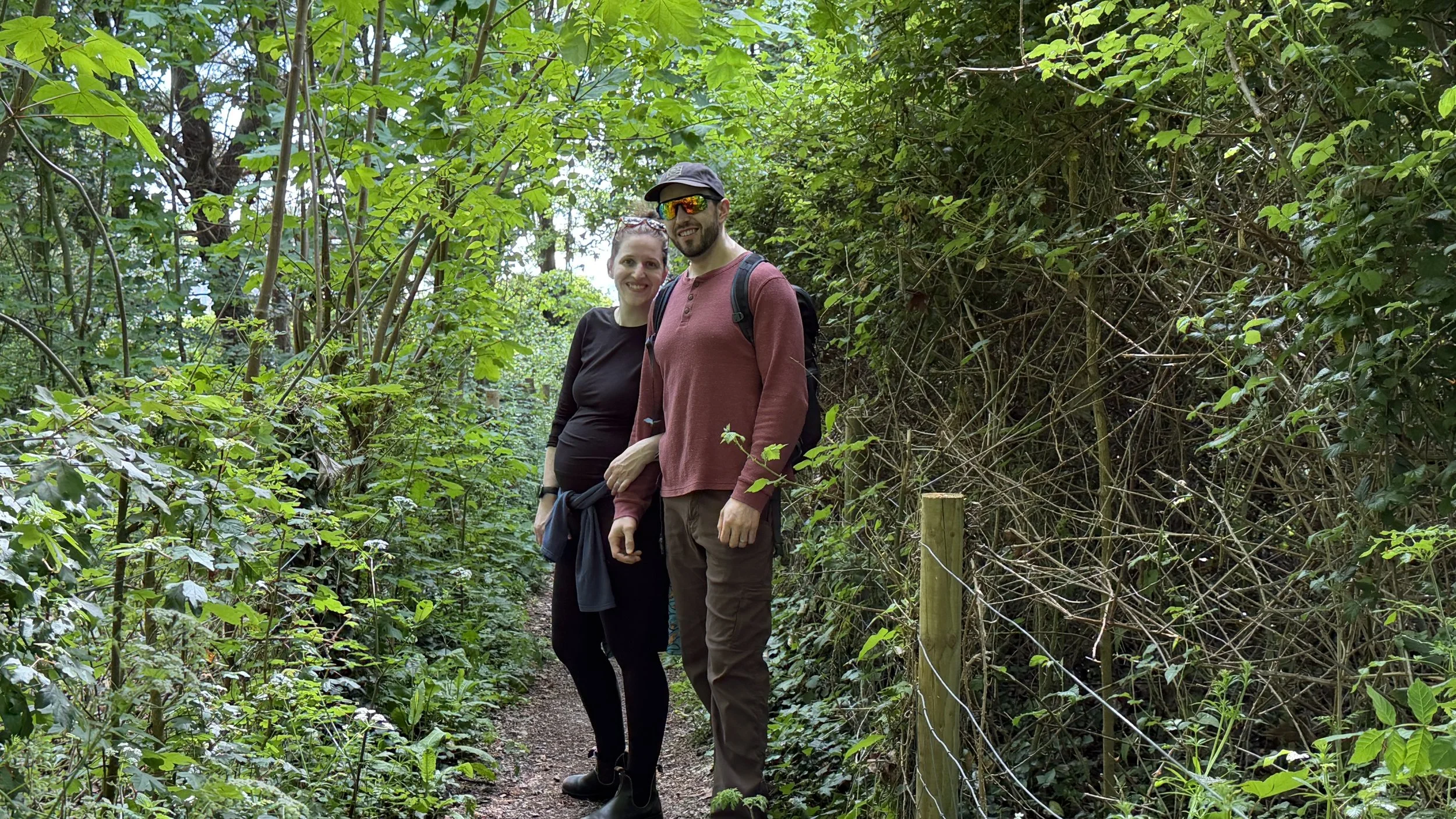
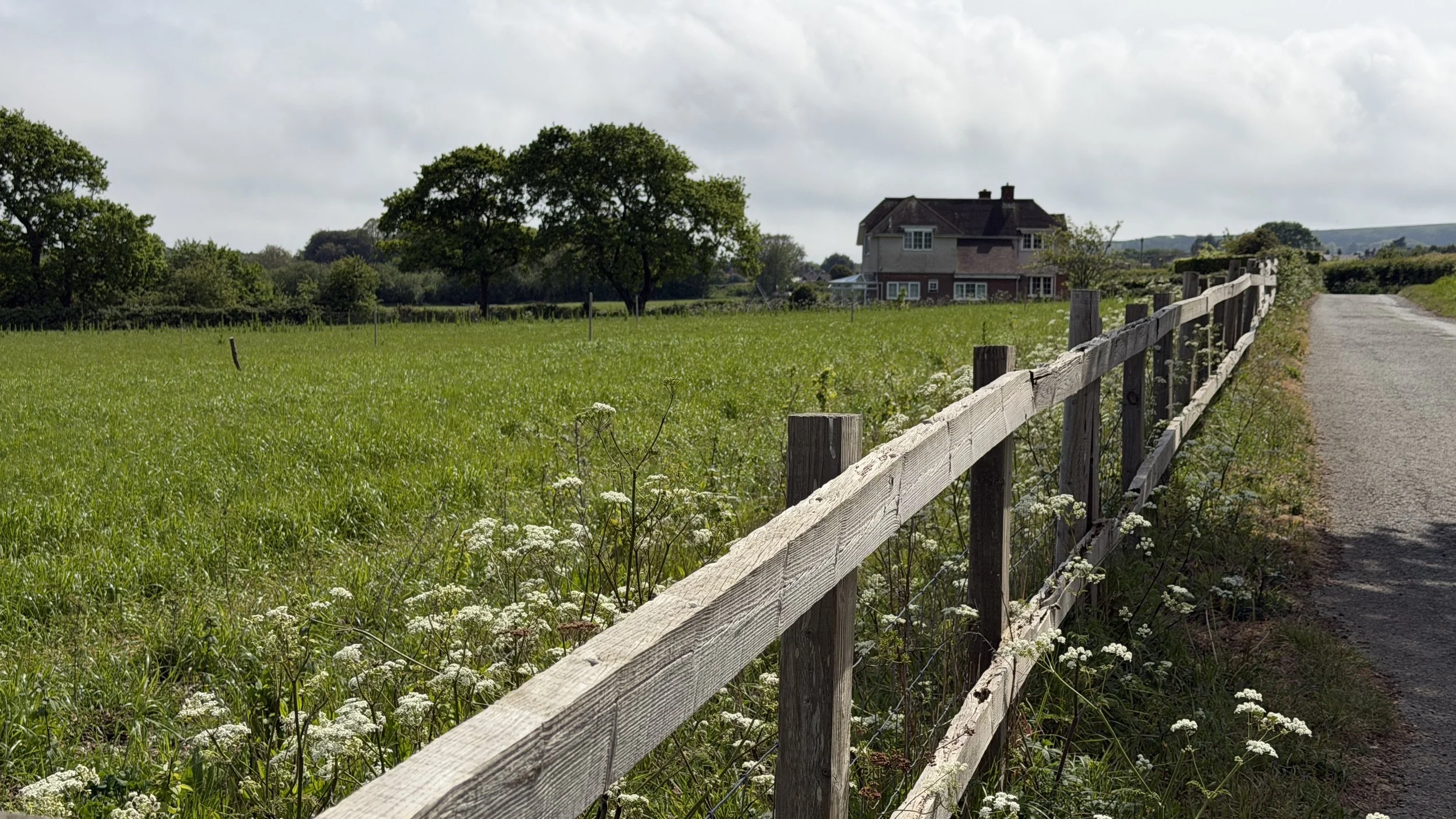
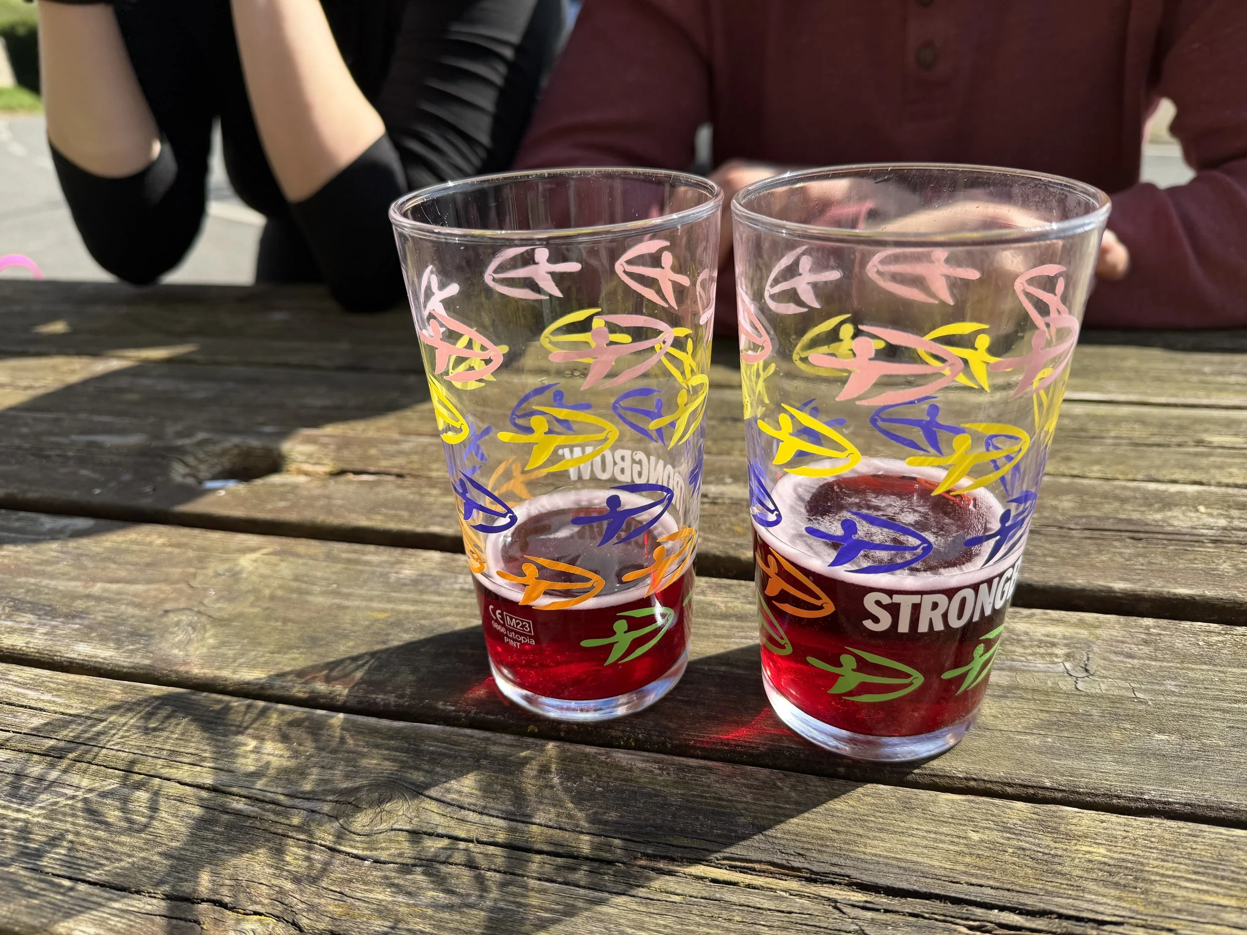
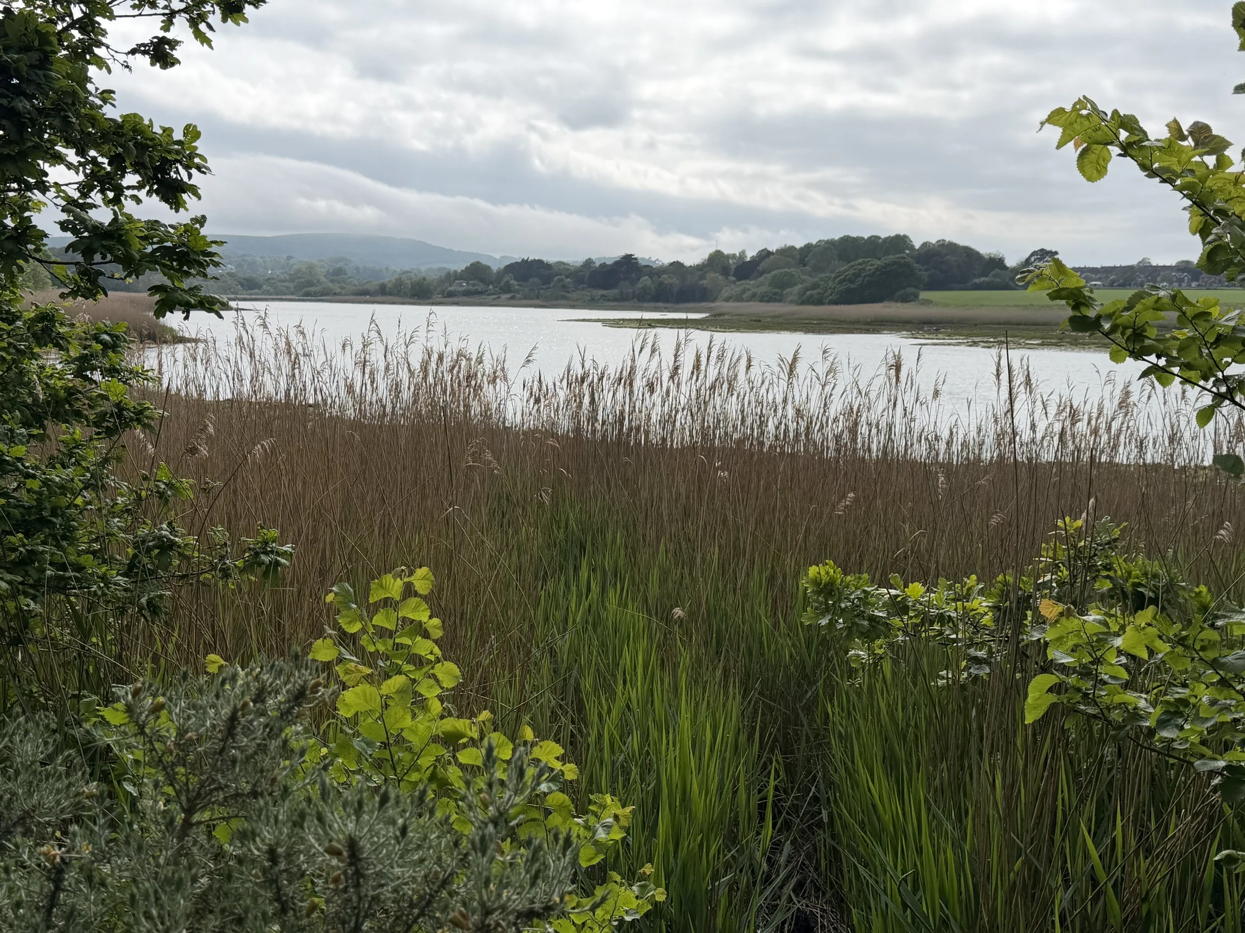
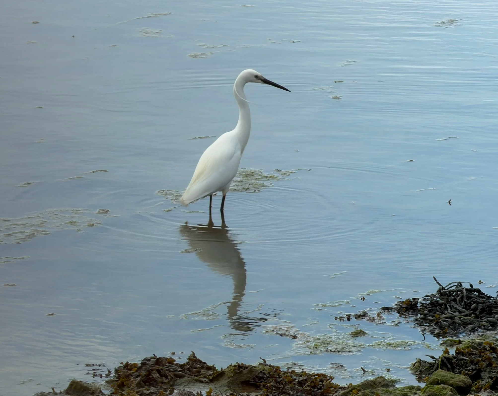
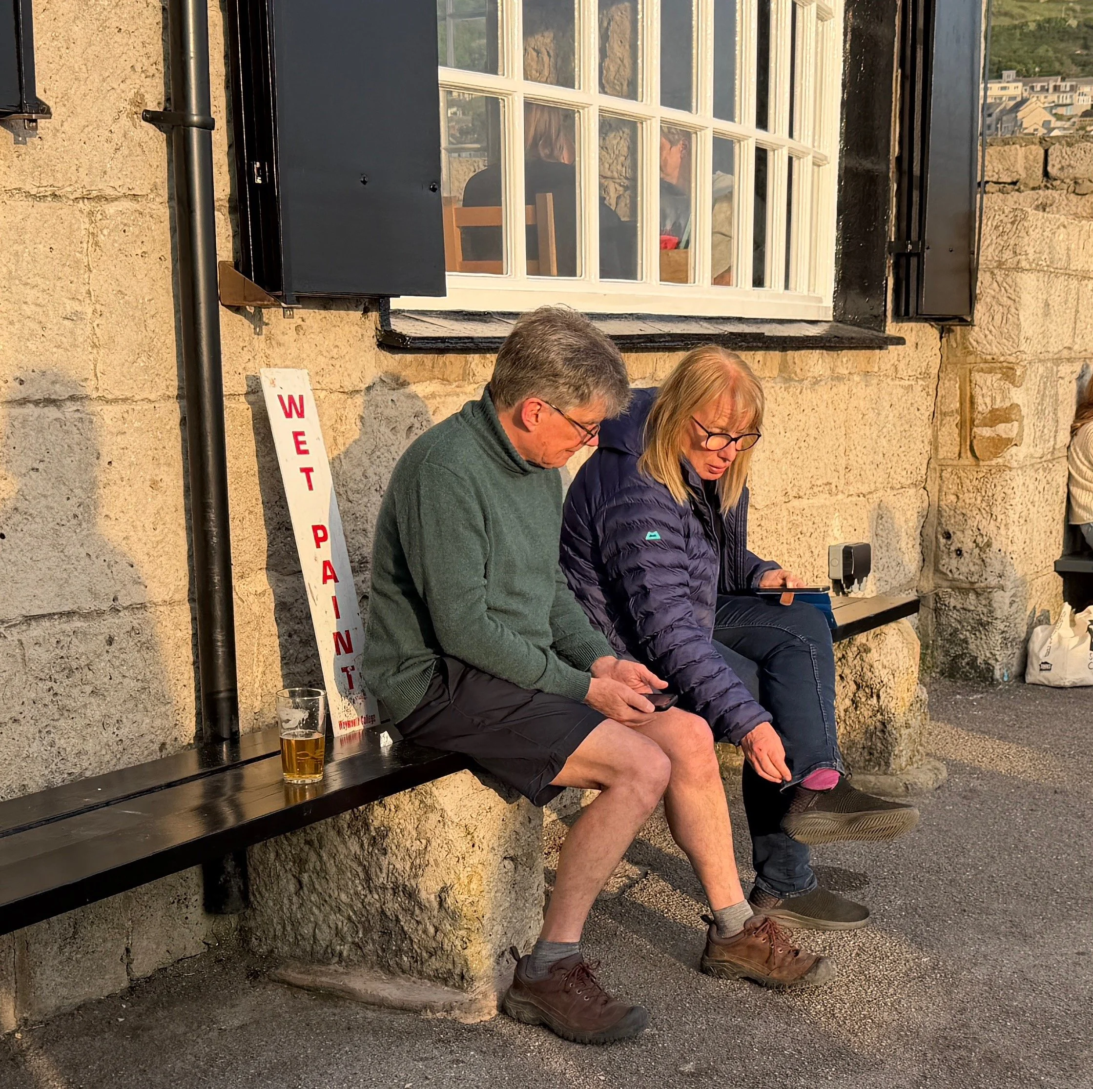
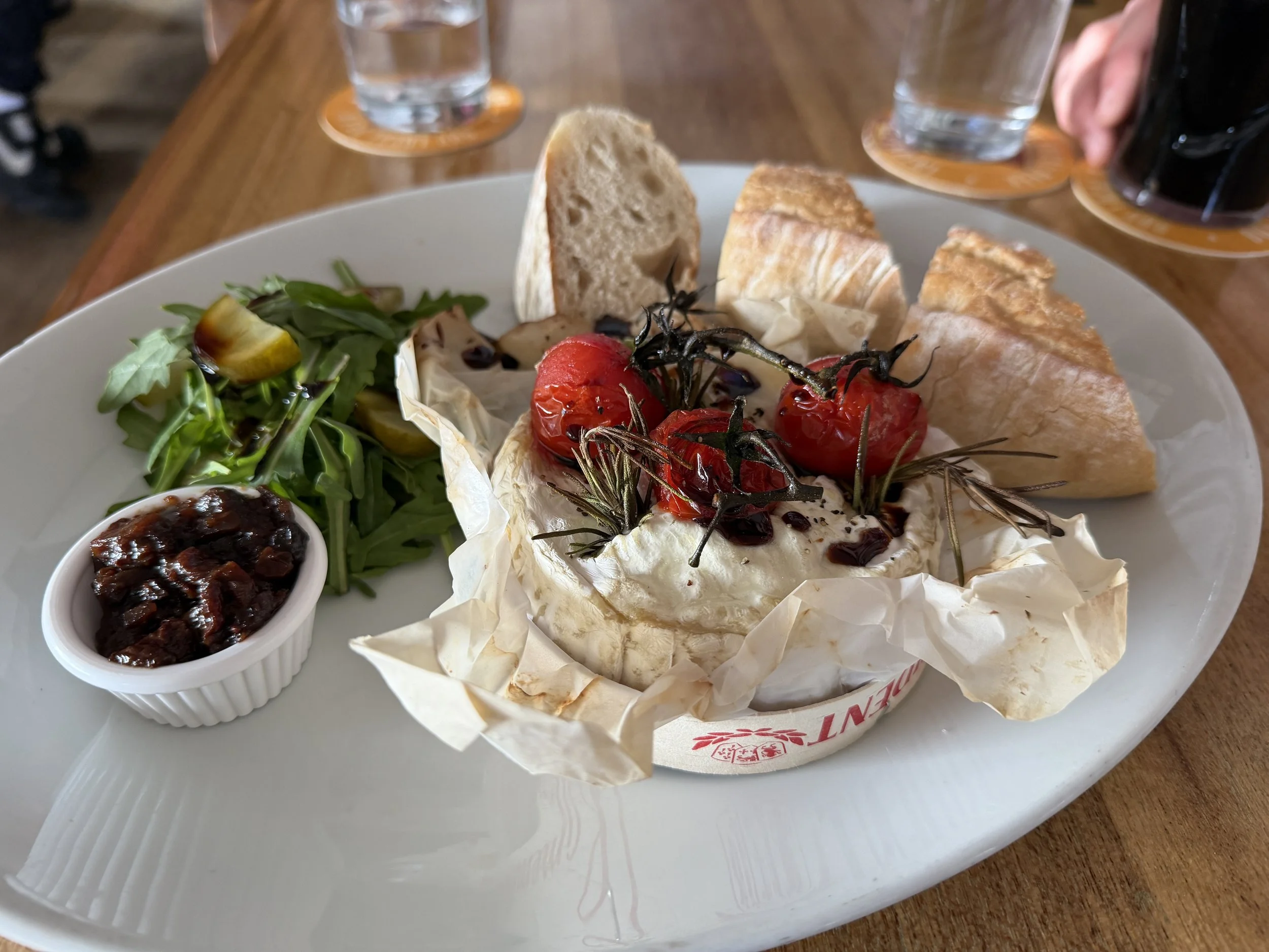
We took a short walkabout following a loop trail through dense forests and lush farm fields stopping at a tavern for a dark berry cider mid-way. Back in town we did a little window shopping before stopping for dinner at a local Inn.
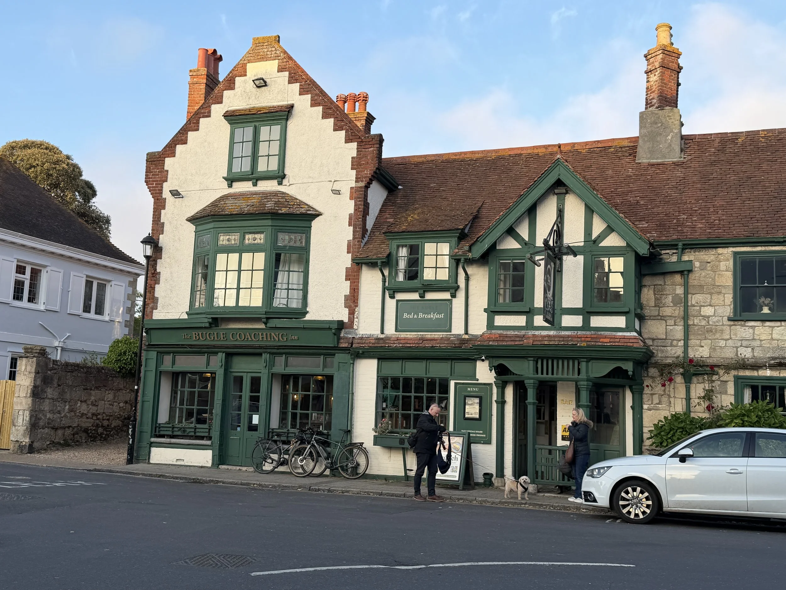
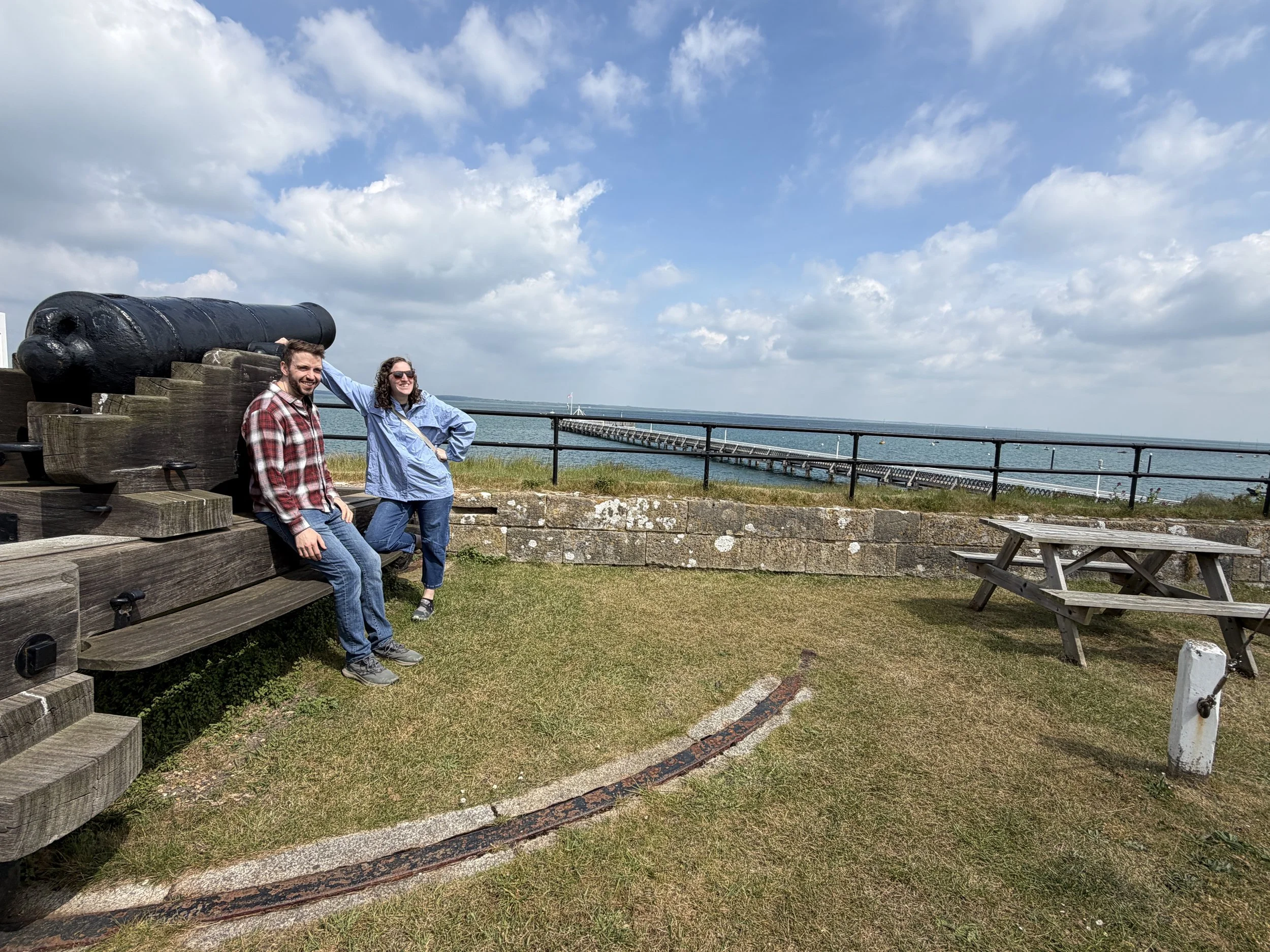
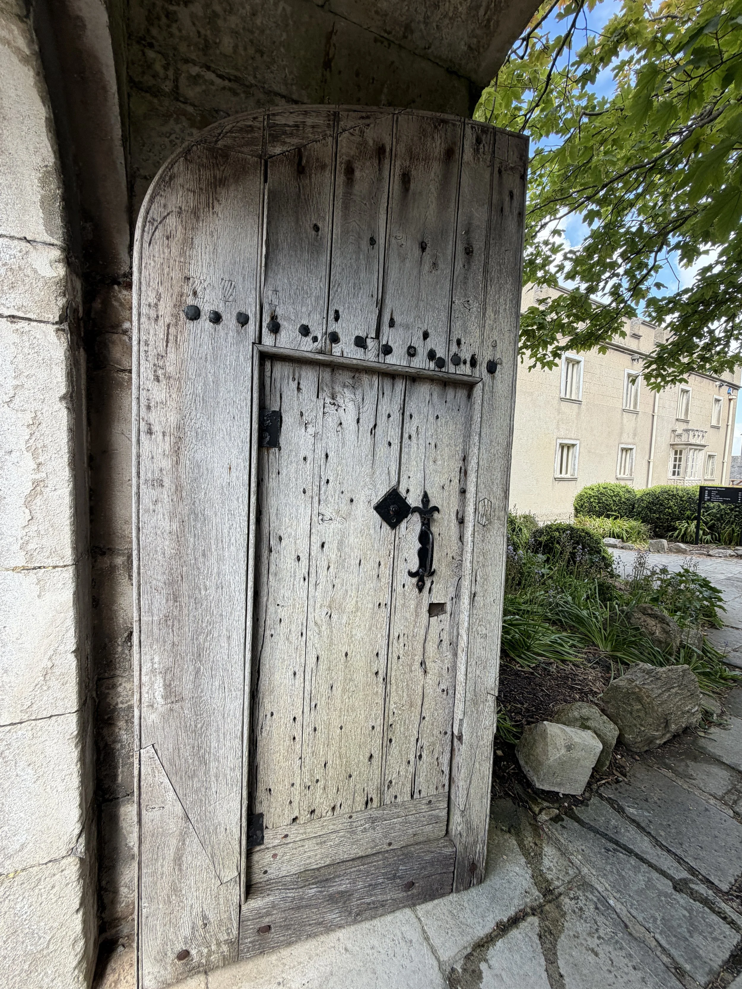
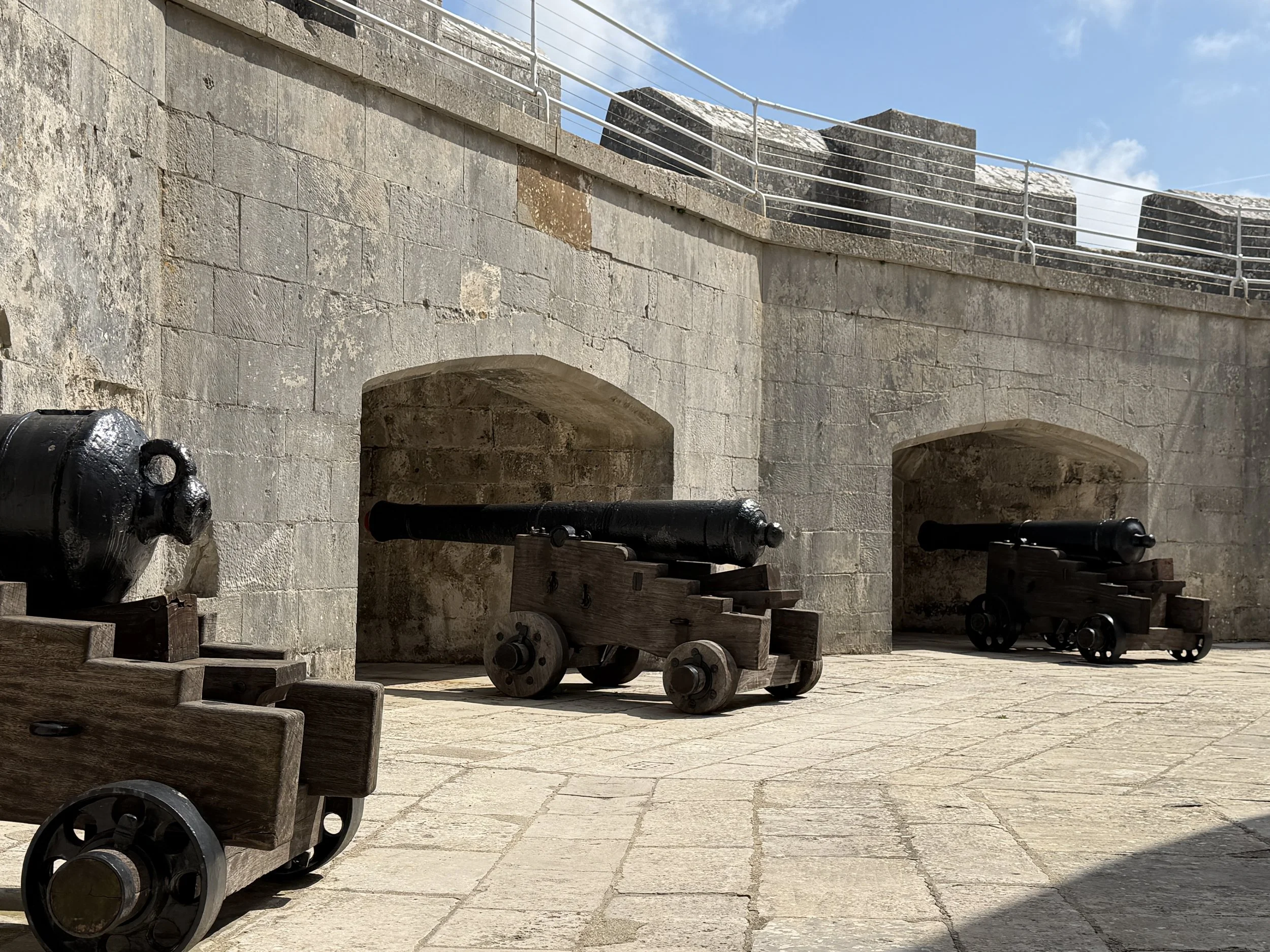
The next morning was Monday and the marina emptied out. We moved over alongside the dock and spent the morning exploring the castle.
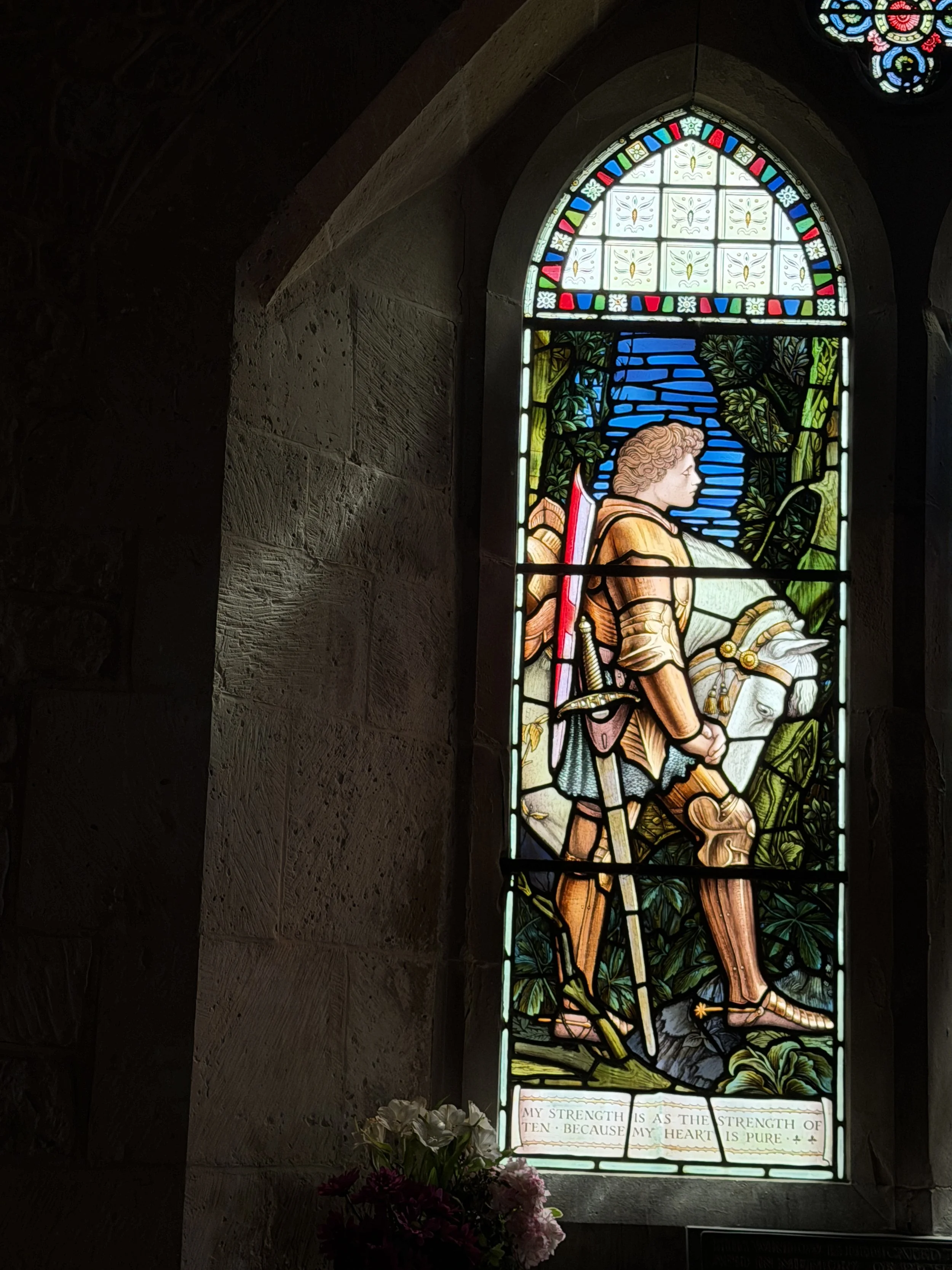
Yarmouth Castle was designed to protect the strategic harbor and to defend the western end of the Solent against invasion fleets. This particular castle is a square blockhouse, with an ‘arrowhead’ bastion, the first ever built in England. The stimulus for building Yarmouth Castle was fighting in 1545 between England and France in which Henry VIII allied with the Roman Emperor against the French. Henry VIII’s navy engaged a huge French fleet in the eastern Solent heading for Portsmouth – the occasion when the Mary Rose sank (see Season Wrap Up). Though the fighting at sea and on land was brief, the need for better fortifications on the Isle of Wight was clear. Work began immediately at Yarmouth, in 1546. Some say that Henry VIII had a flair for overreacting to potential invasions and this was part of his grandiose chain of fortifications designed to keep out the French and Spanish, who were apparently always a bit too keen on gate-crashing England. I wouldn’t know, but I would say this is an interesting point of coastal defense.
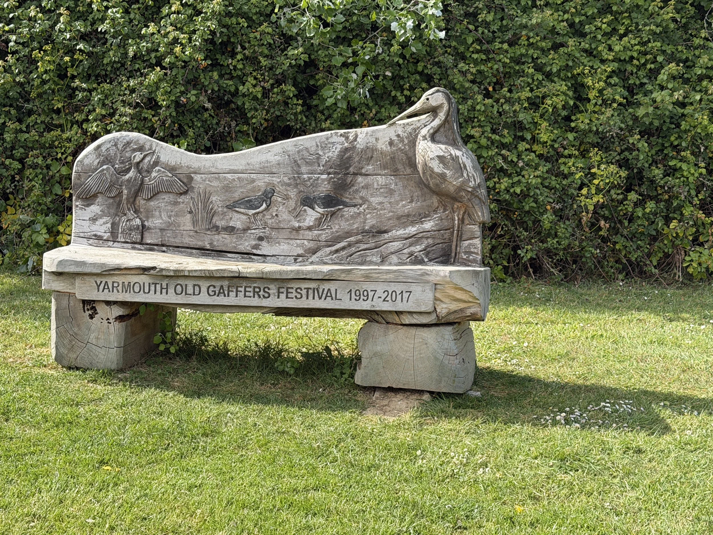
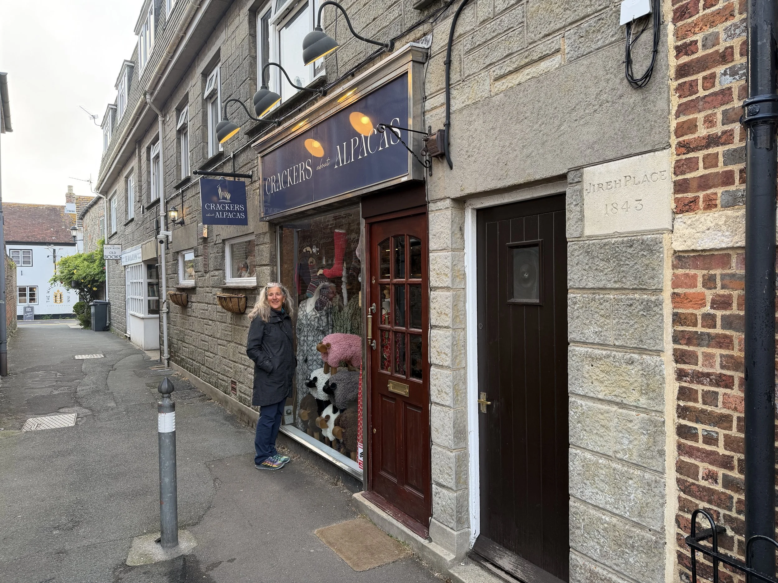
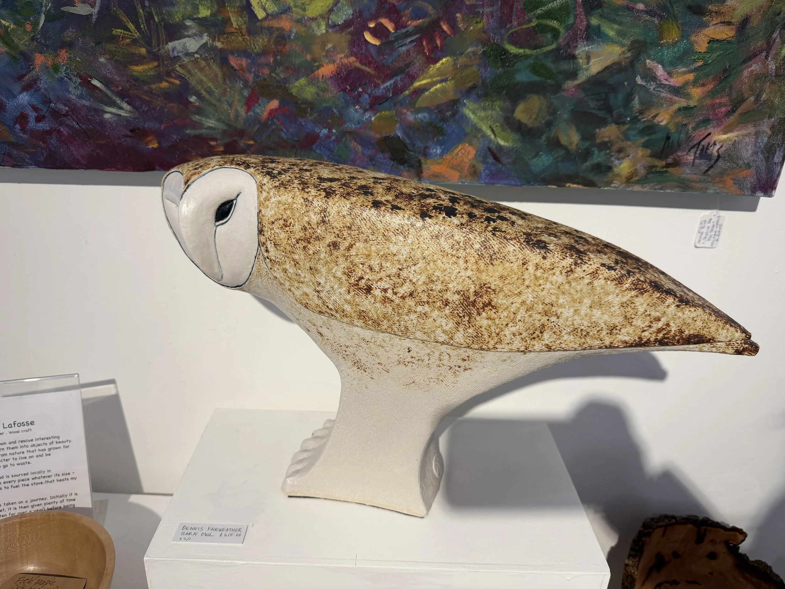
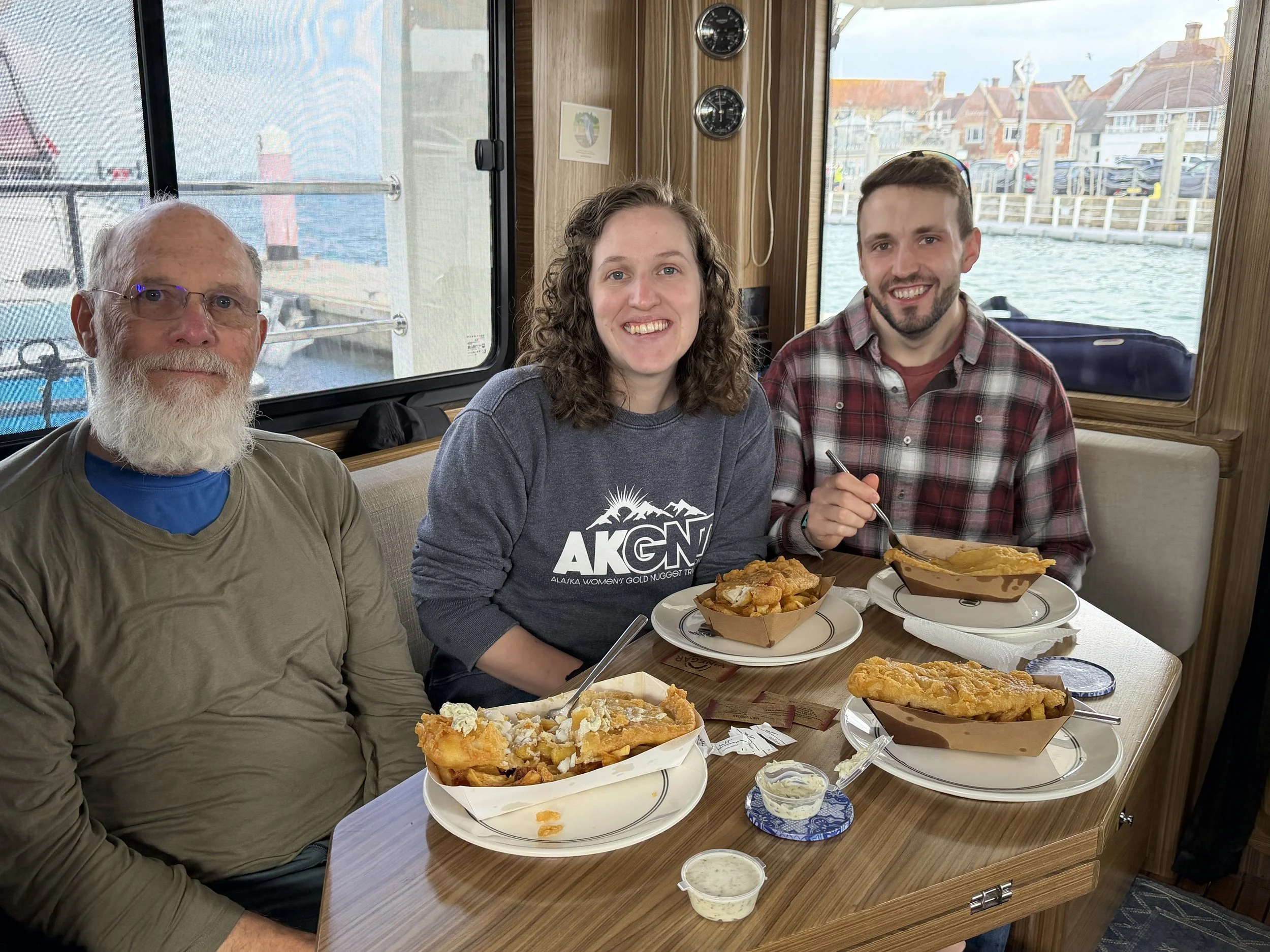
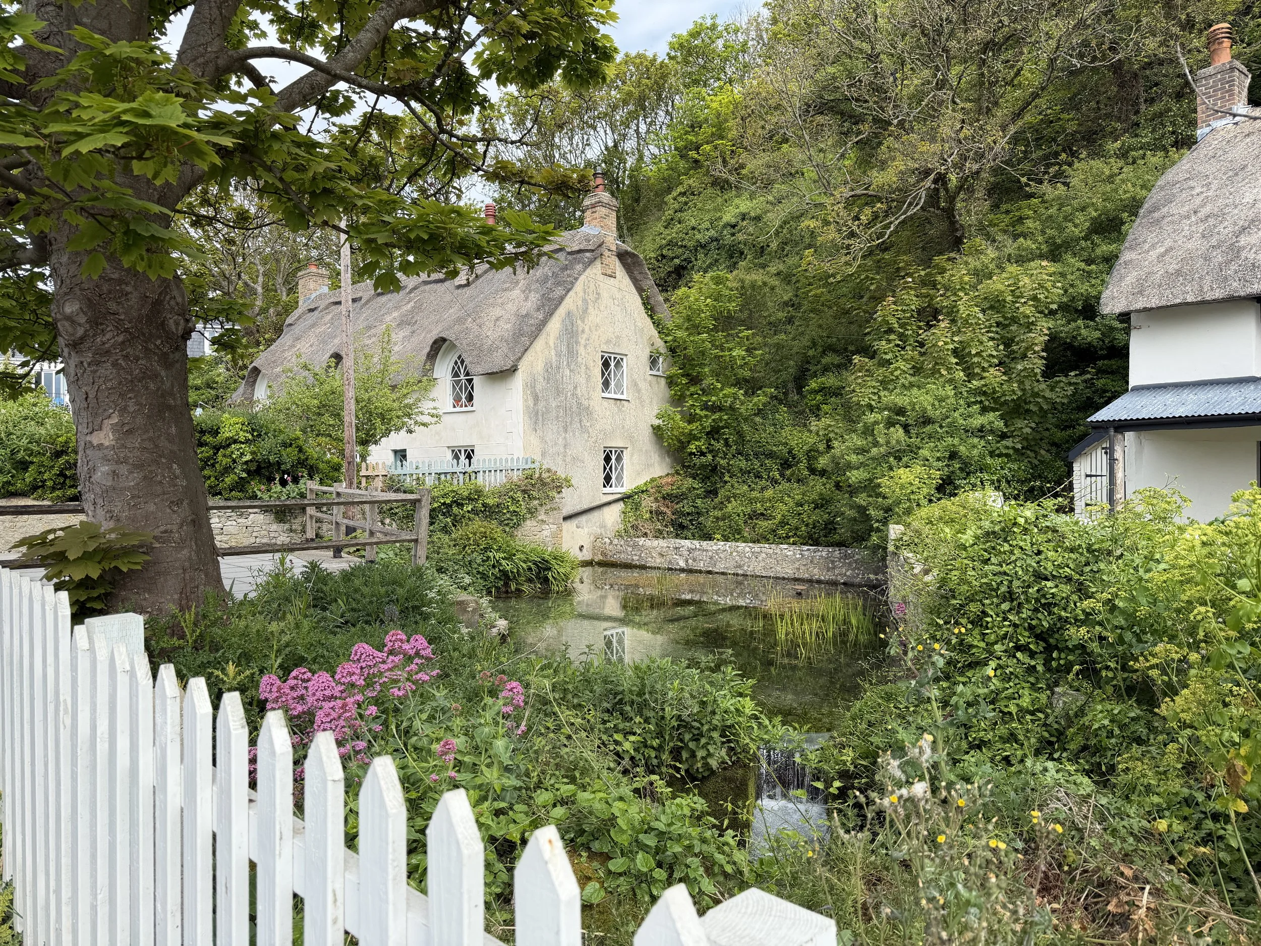
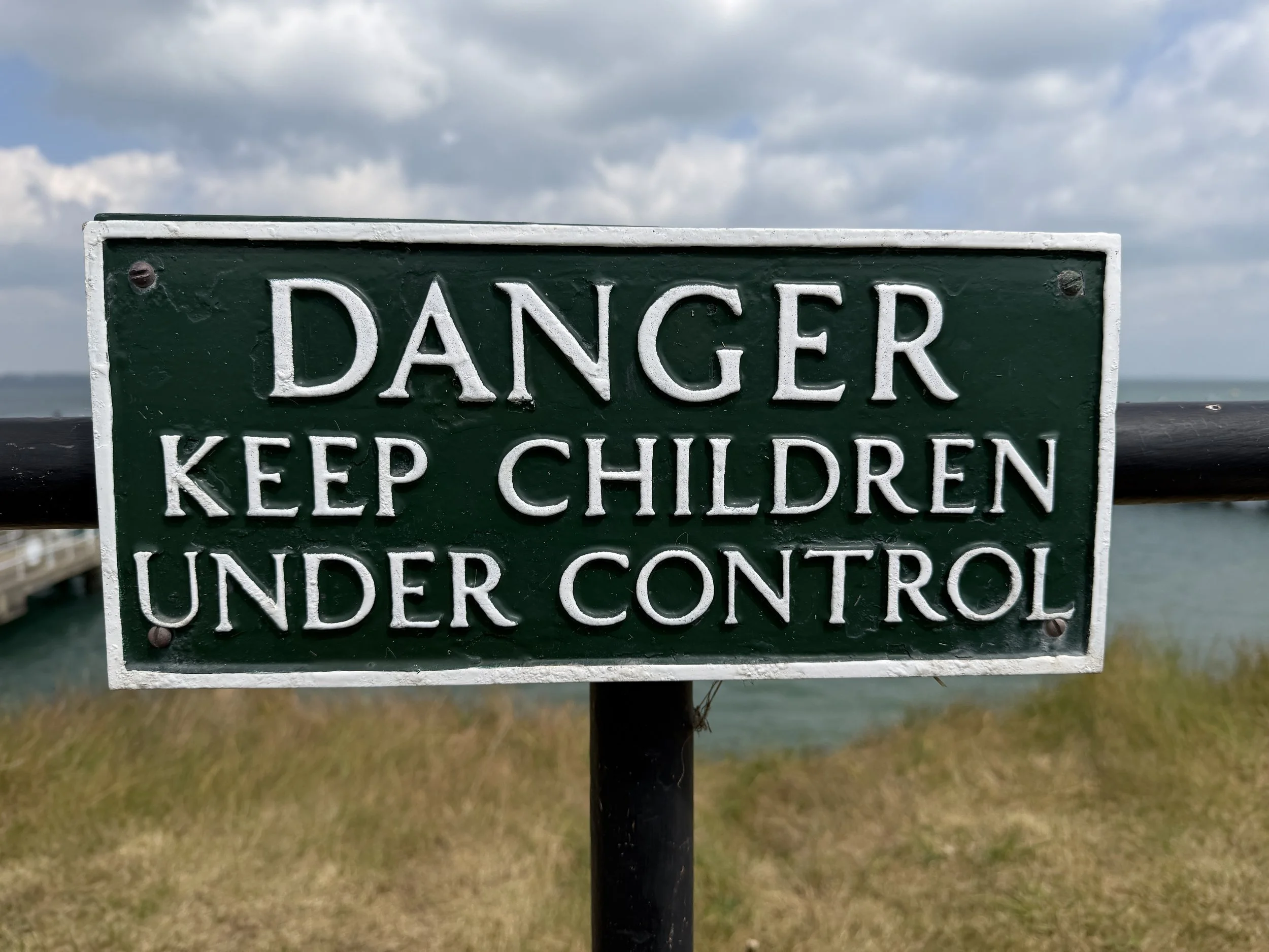
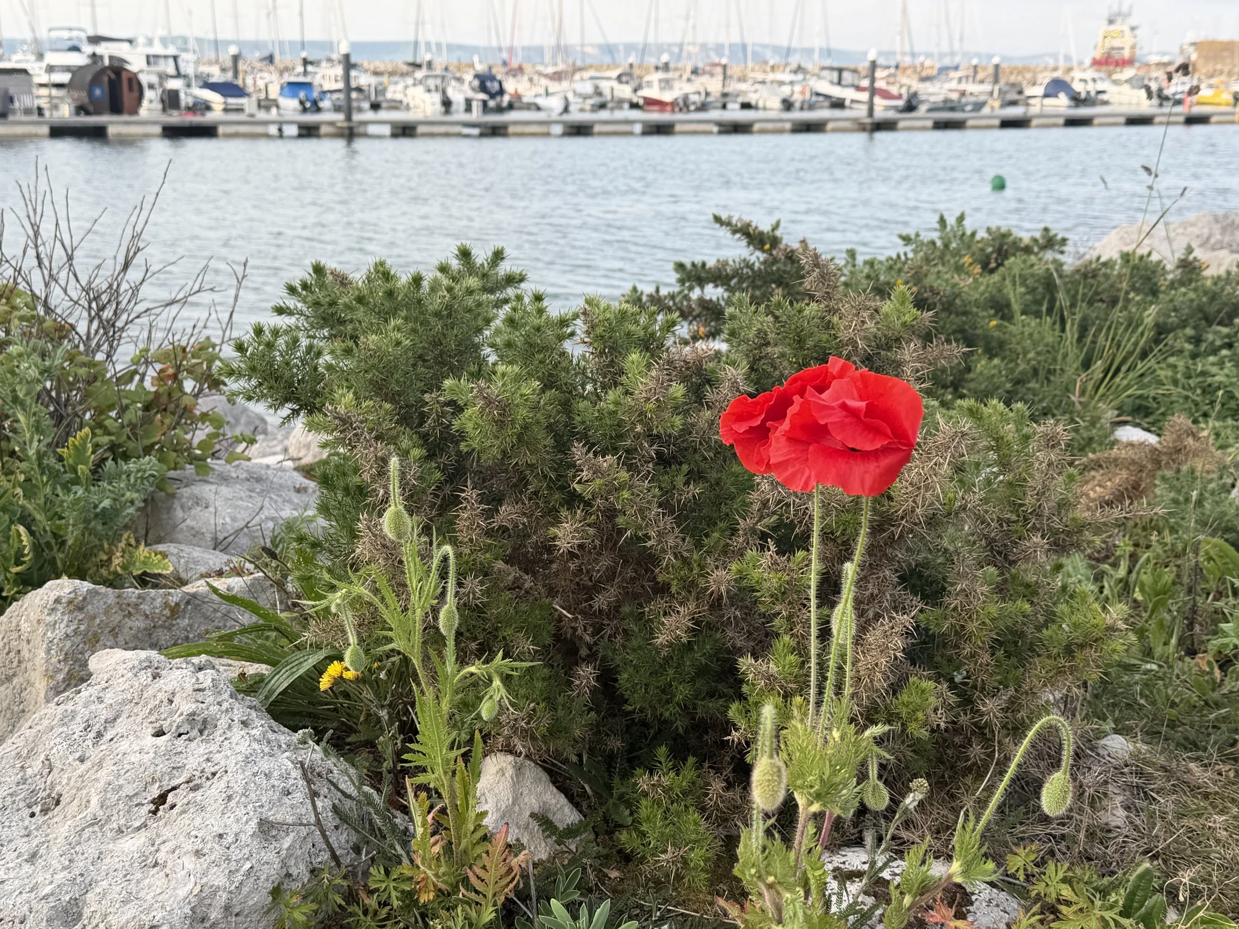
Before leaving the Isle Of Wight we popped into several of the shops, ducked into art galleries, stopped for ice cream, visited the bookstore and picked up the requisite fish and chips take-away!
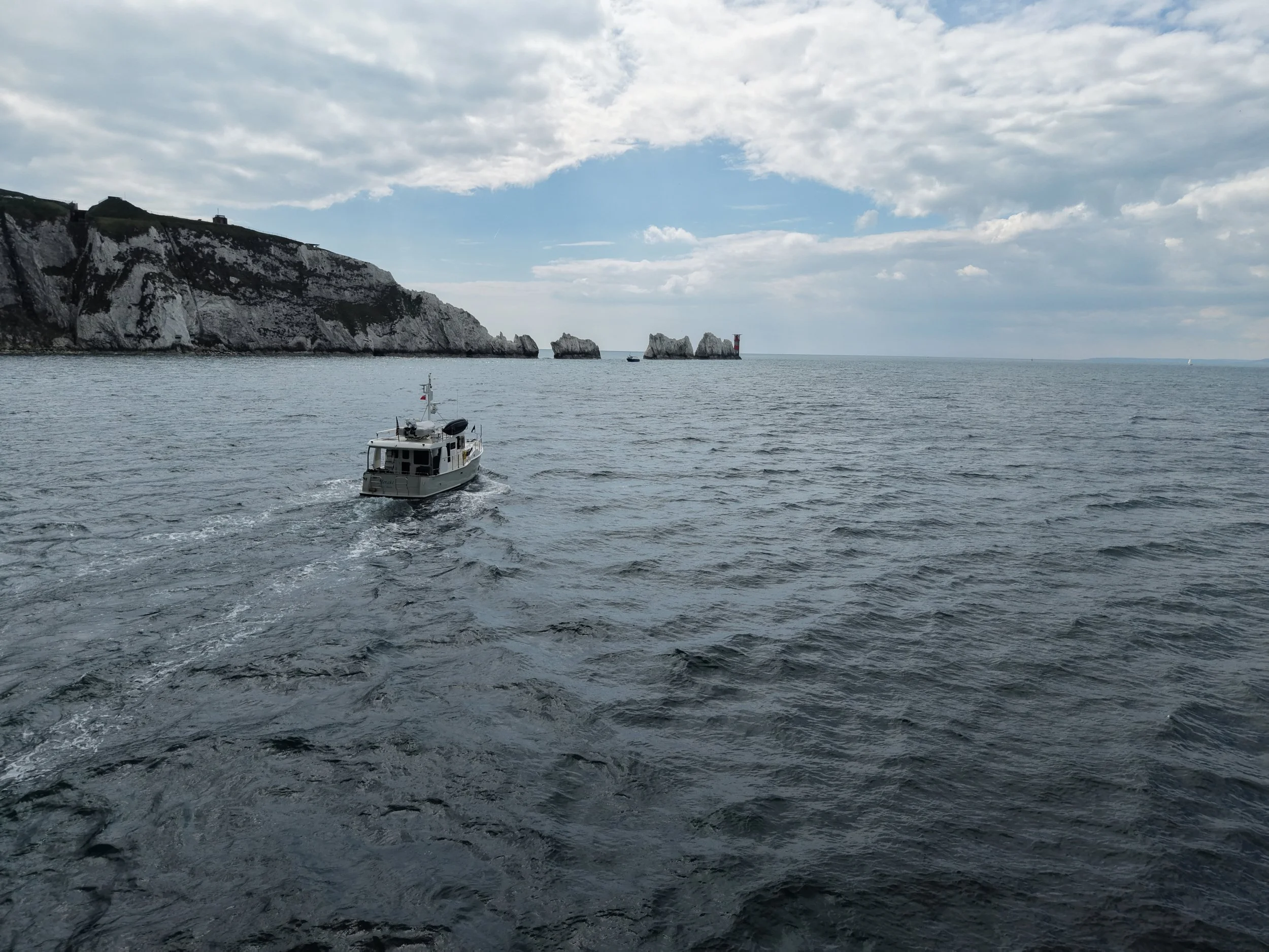
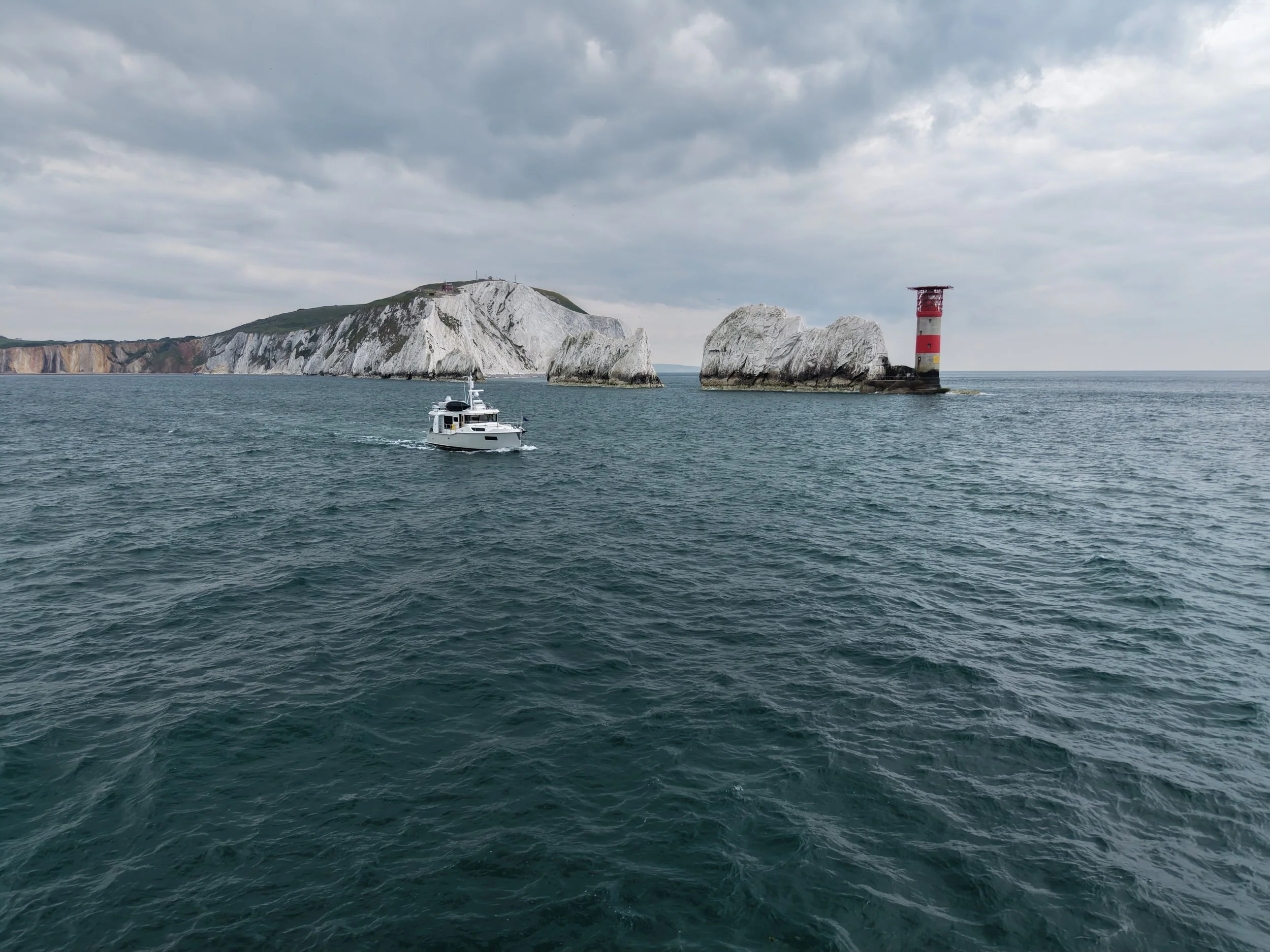
Upon exiting the marina we almost immediately cruised past The Needles, arguably the Isle of Wight's most iconic and most photographed sight. A row of three chalk stacks that rise about 30 meters (98 ft) out of the sea. The name comes from a fourth pillar, which was more needle-shaped than the three stacks we see today. The original ‘Needle’ pillar collapsed in a storm in 1764, but the name lives on.
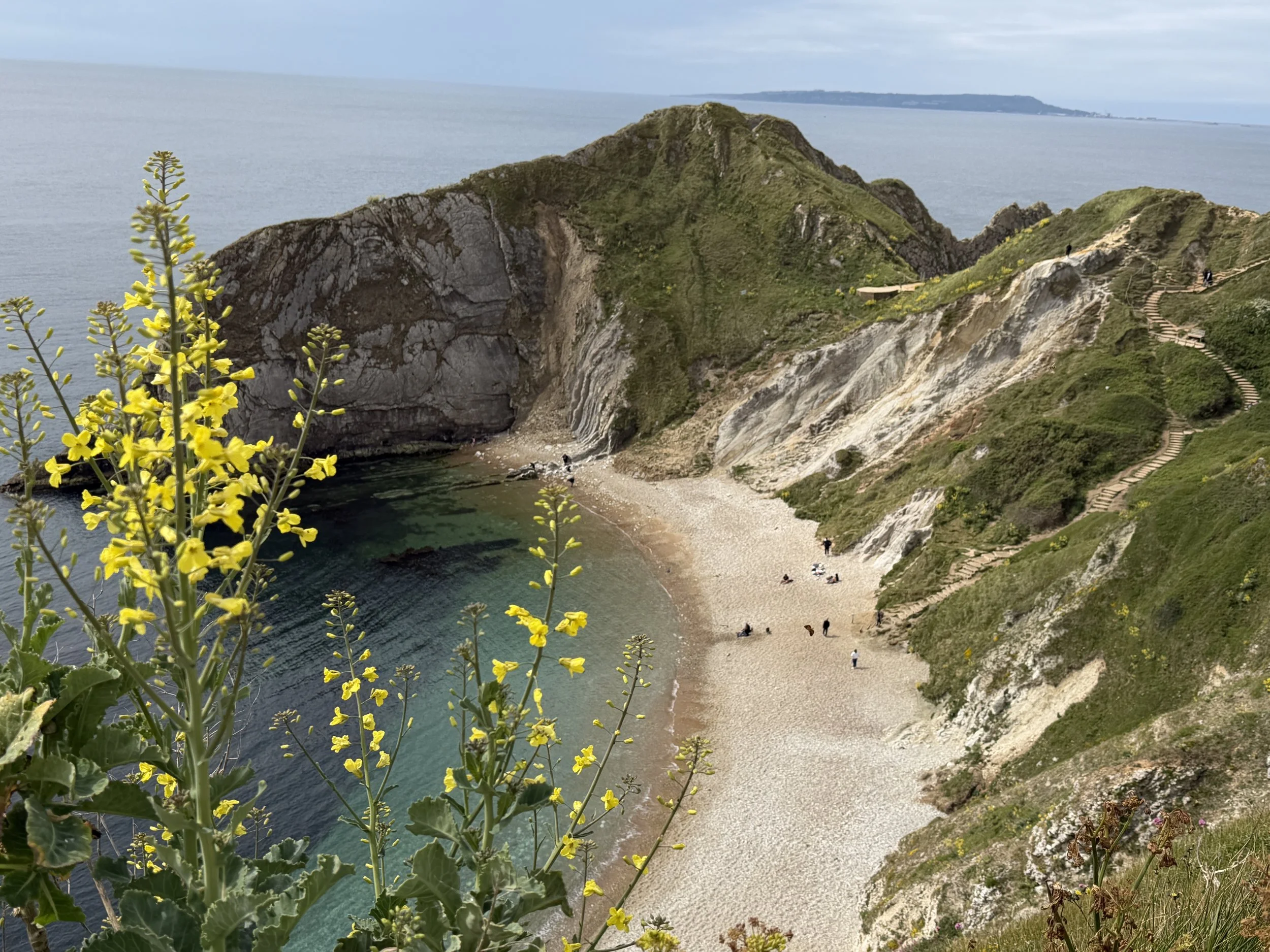
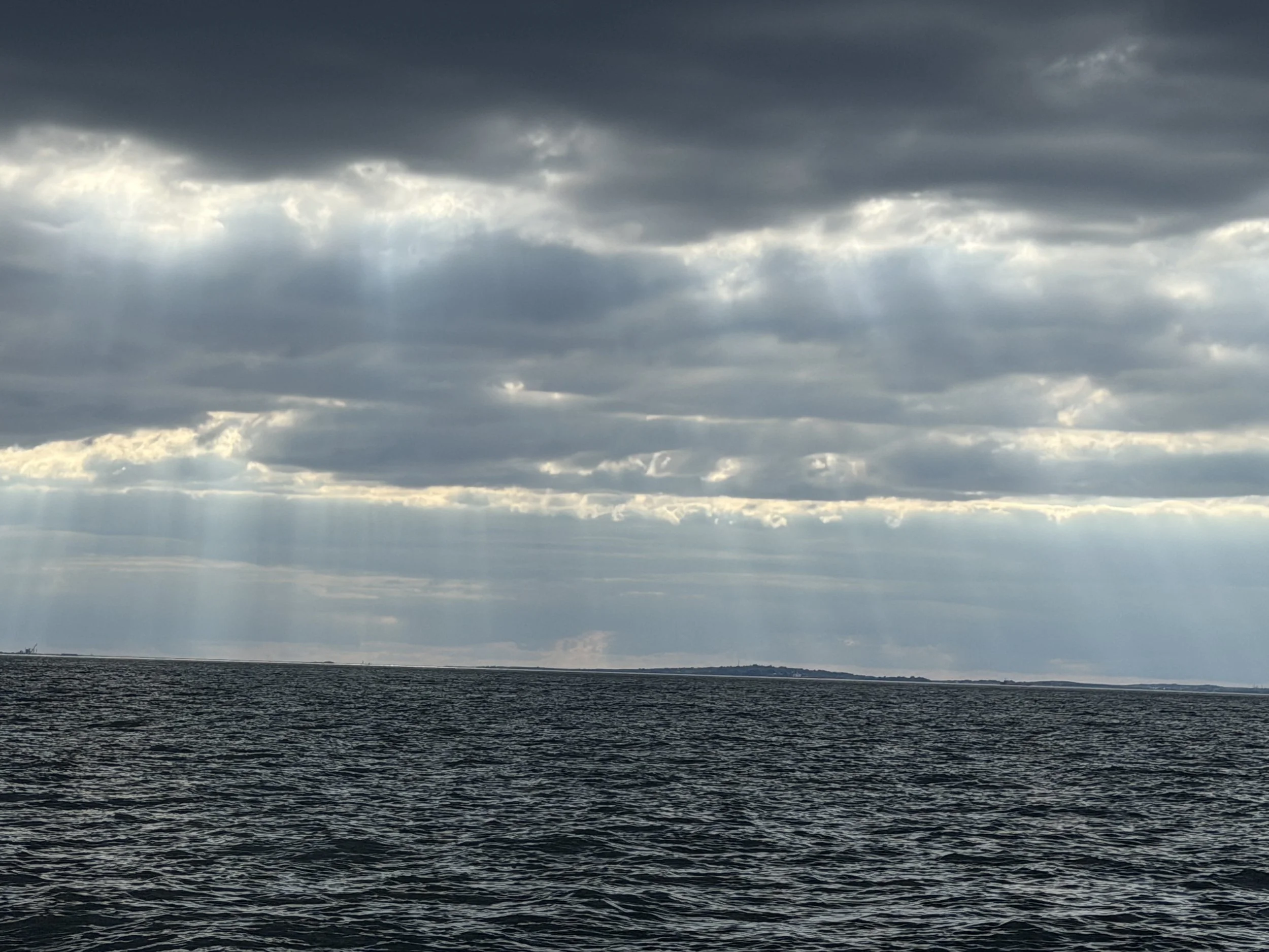
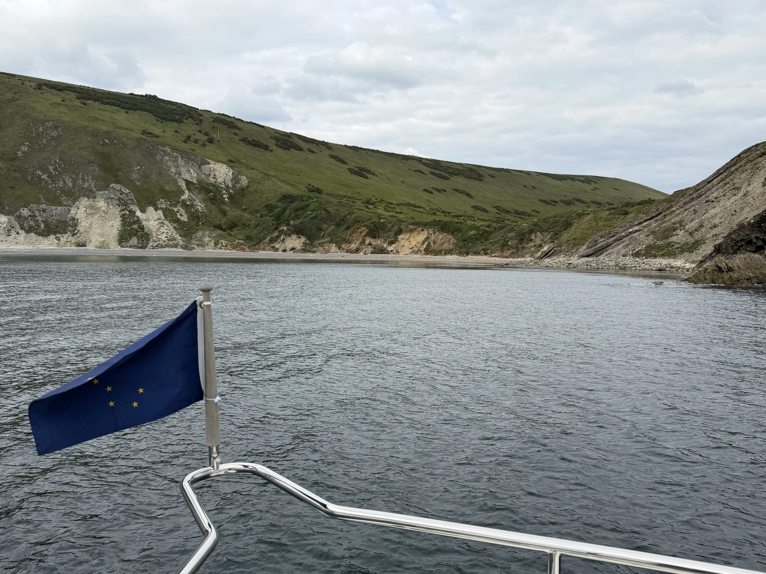
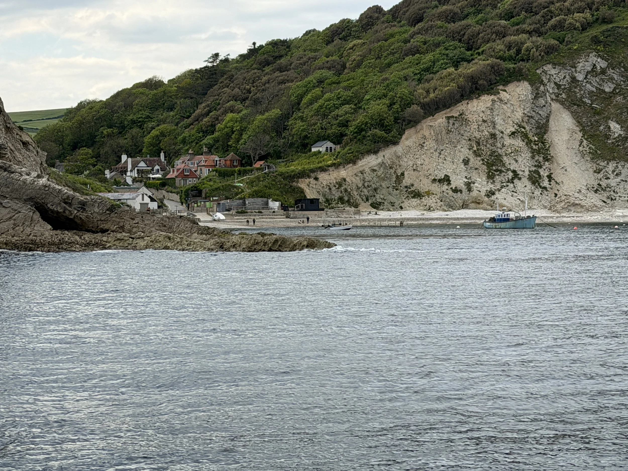
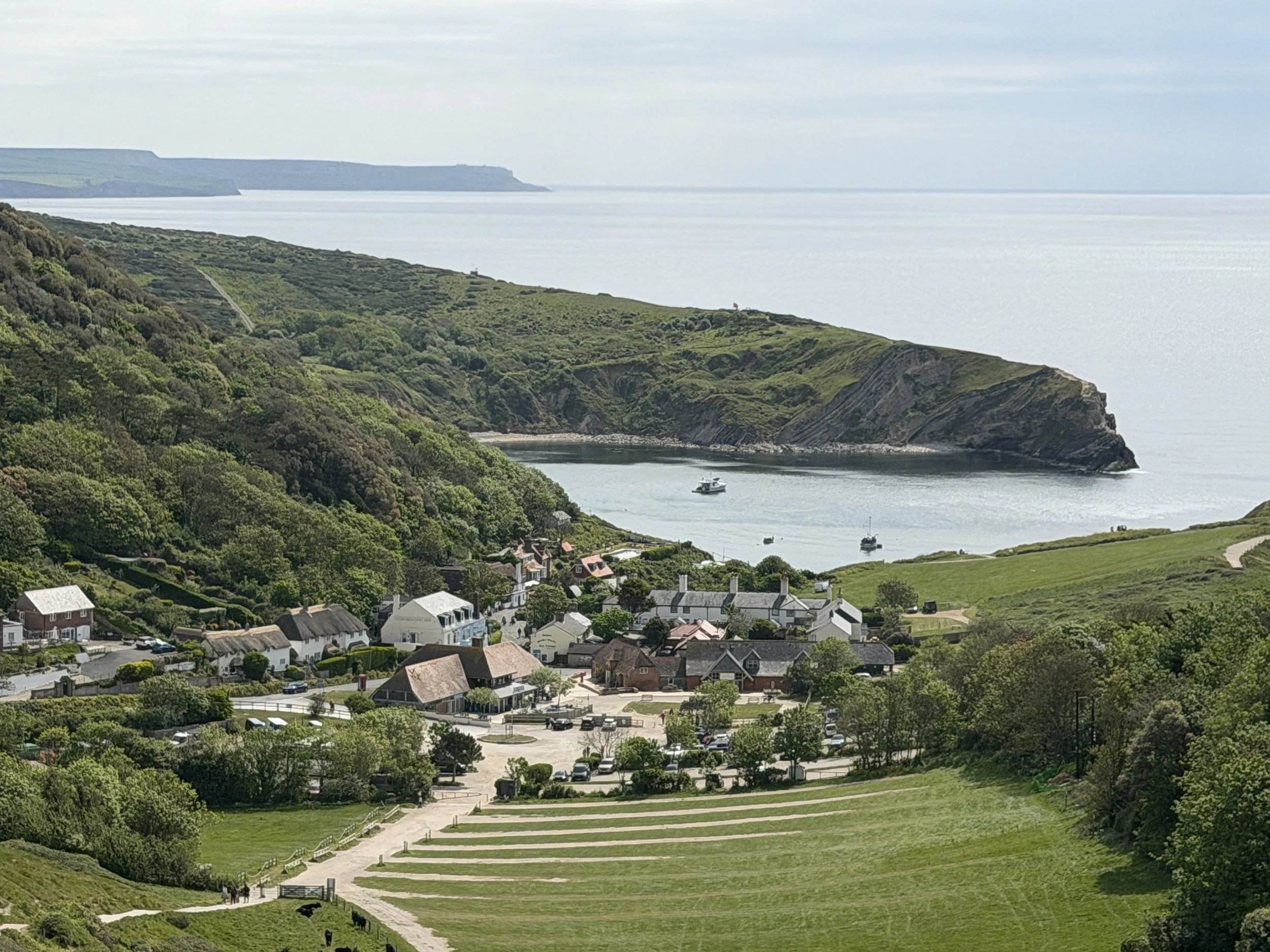
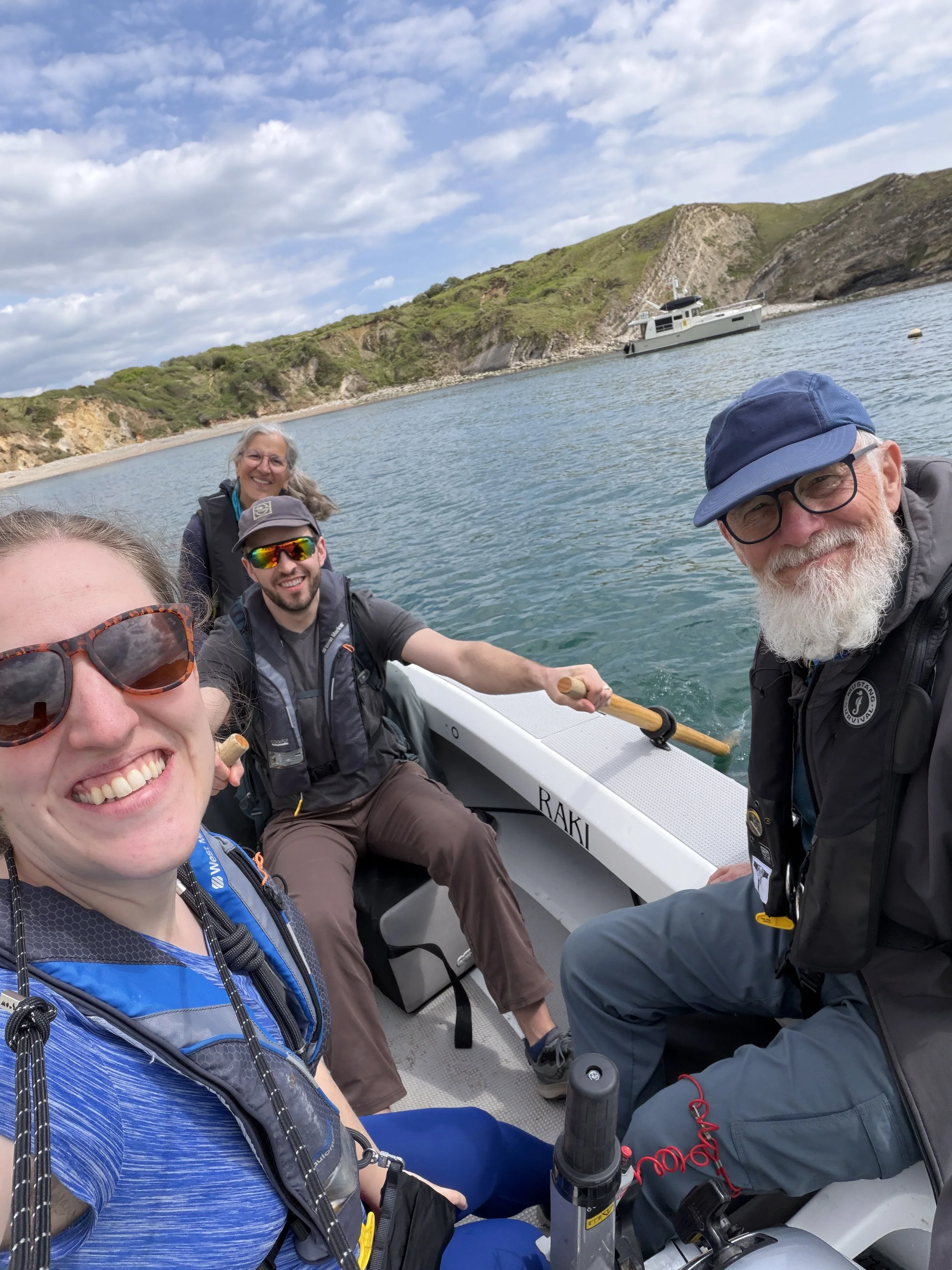
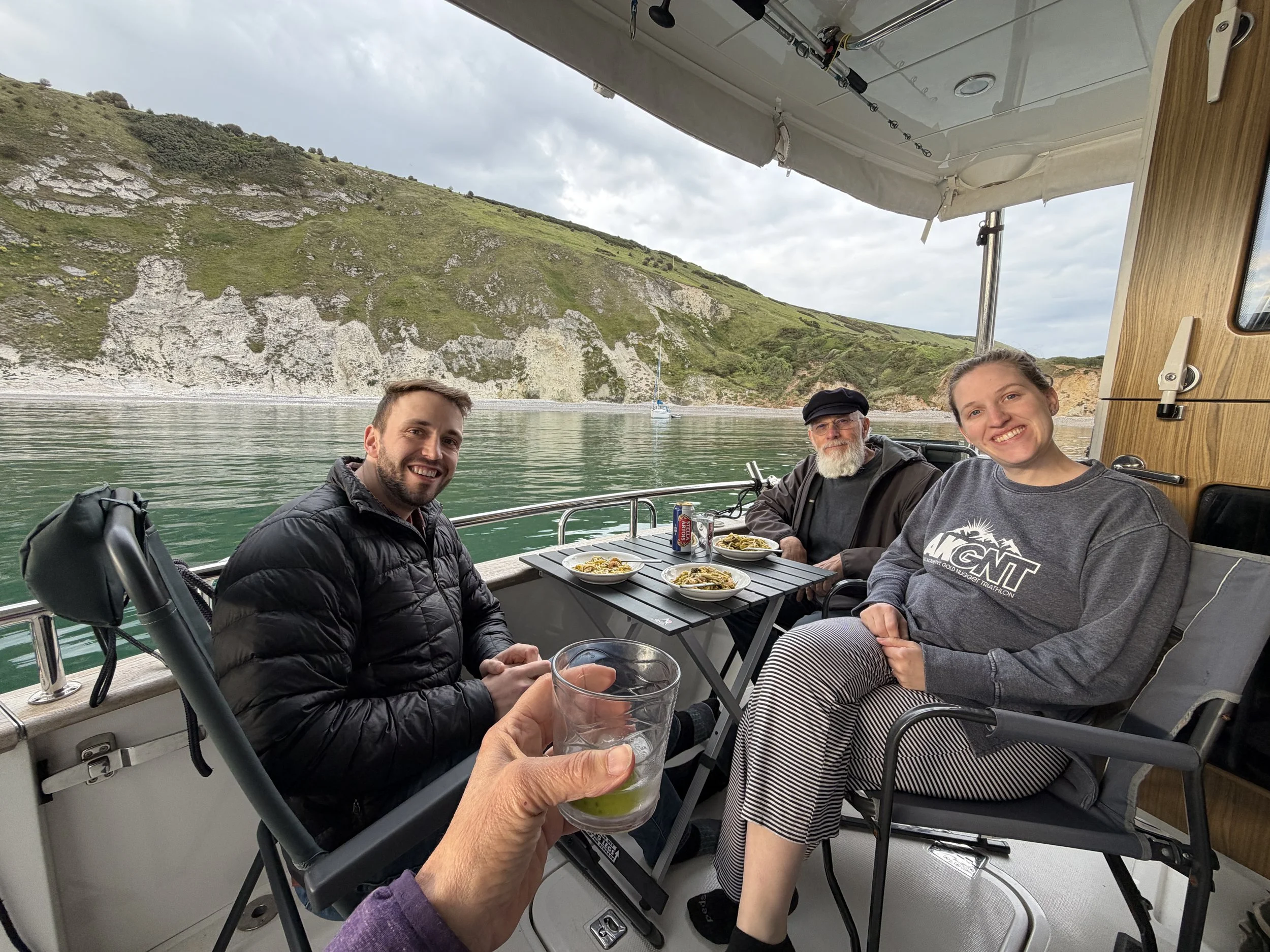
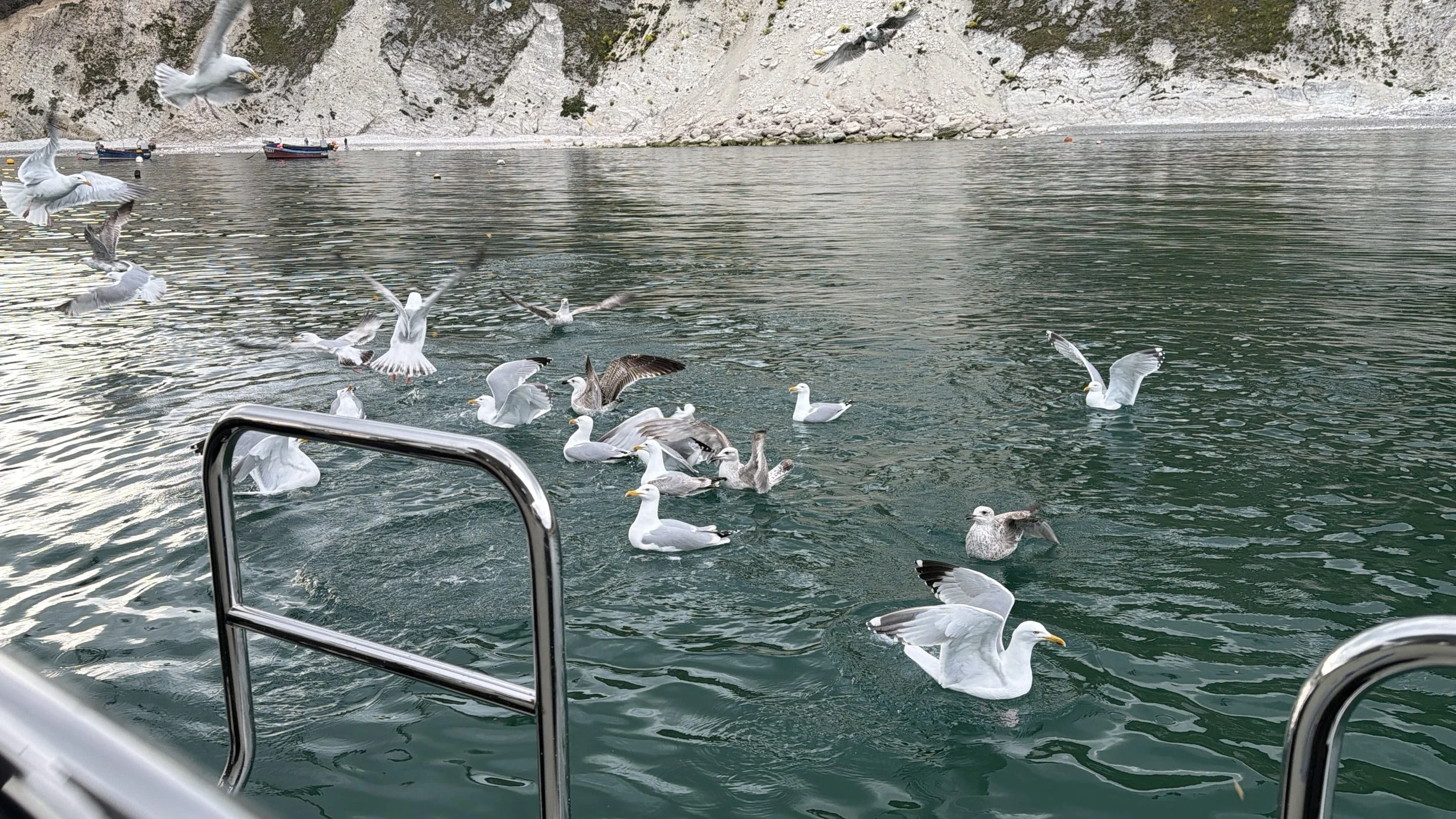
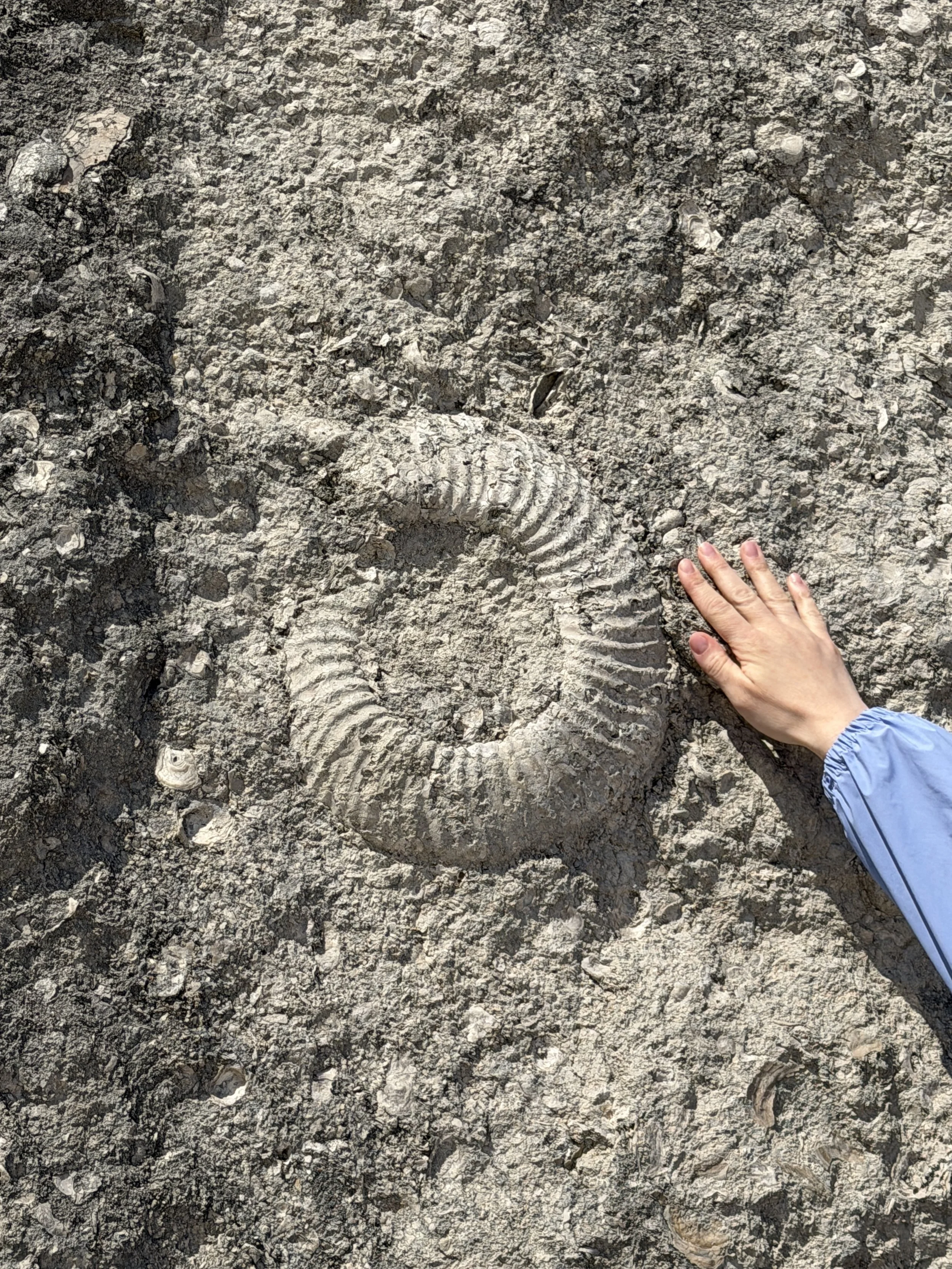
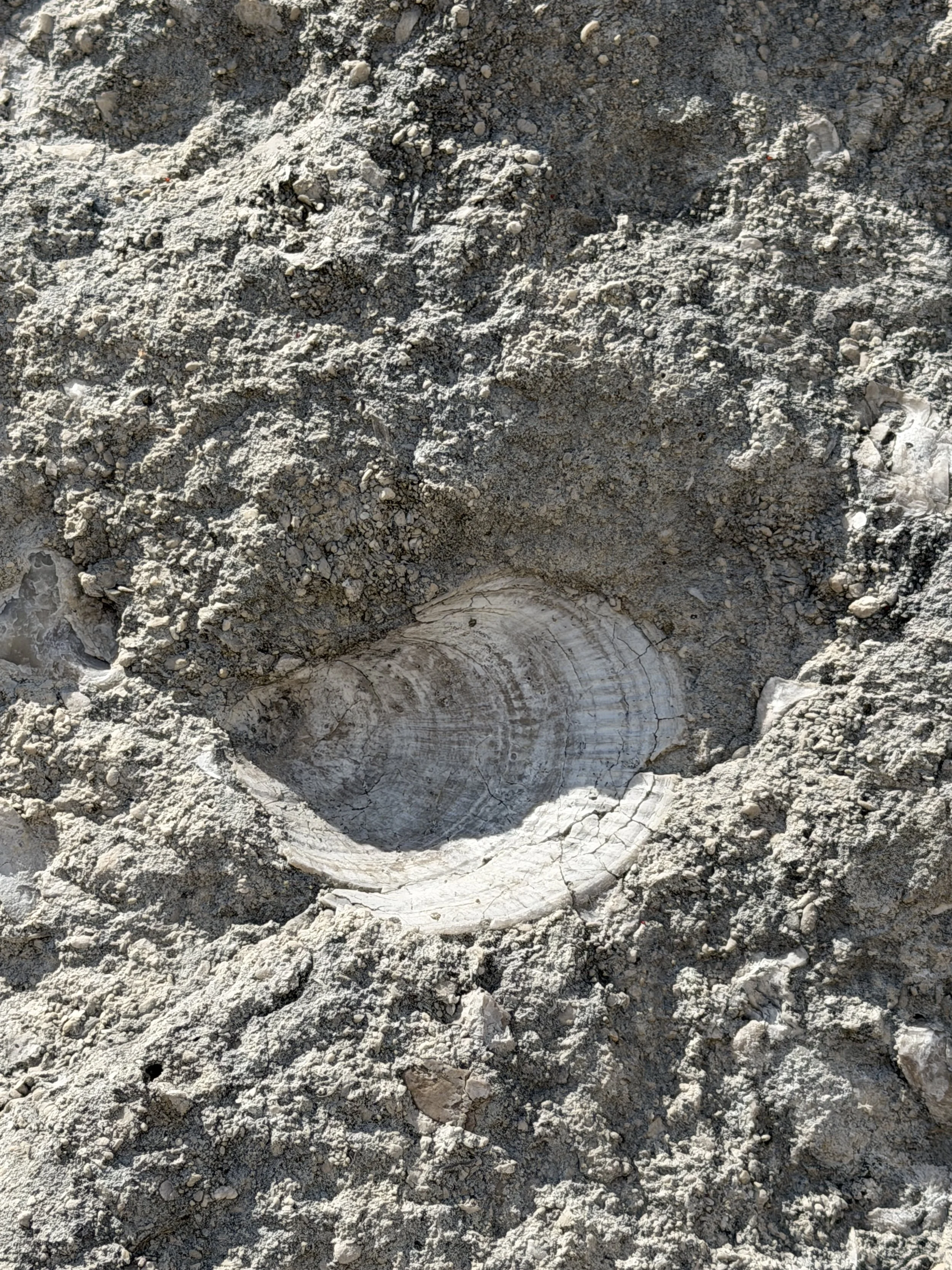
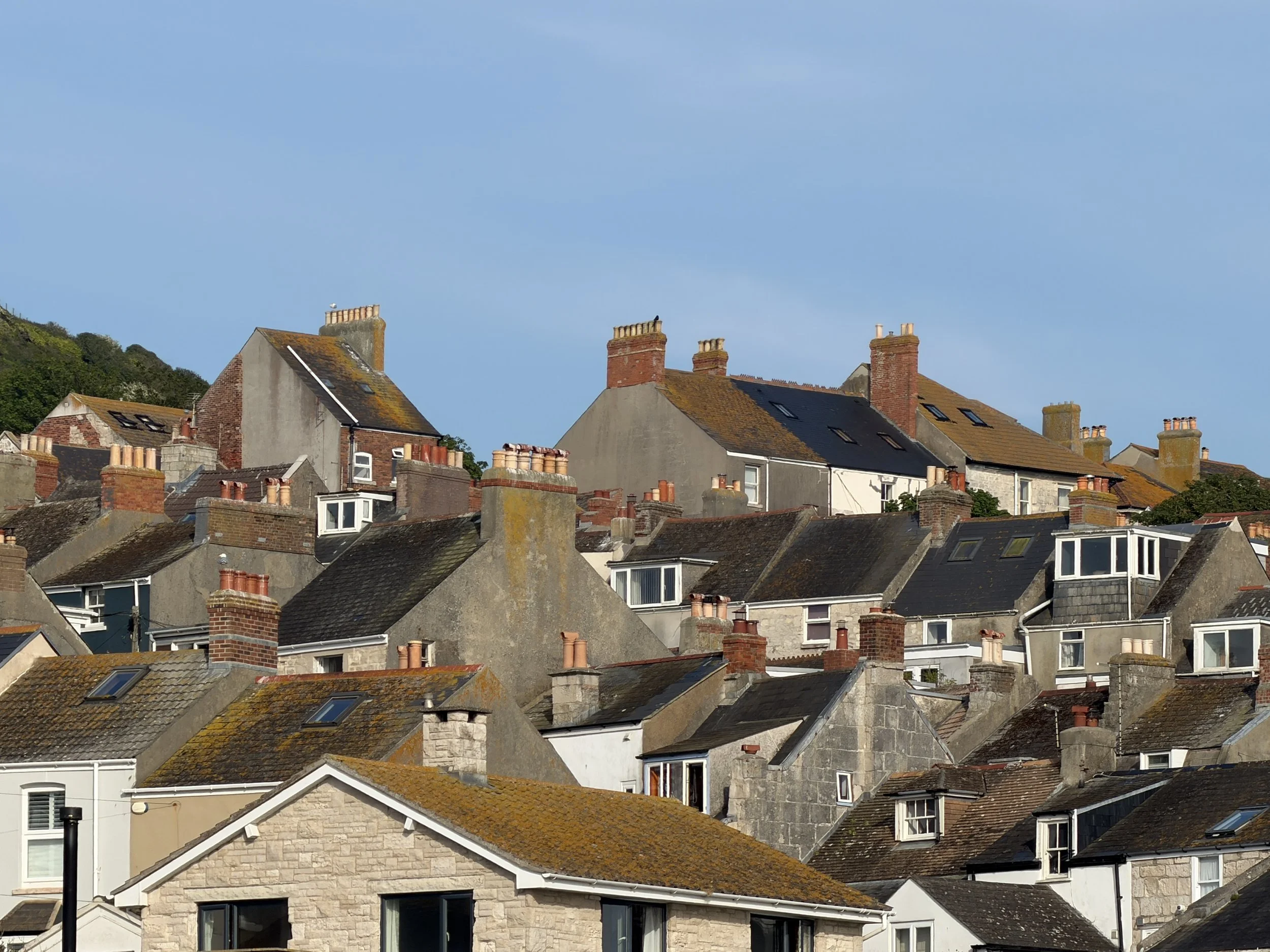
We sailed to a small anchorage in Lulworth Cove, a world-renown, nearly perfectly circular cove in Dorset, England famous for its unique geology on the Jurassic Coast. For any geology buffs out there, this coastline is the only place on earth where you can see rocks from the Triassic, Jurassic and Cretaceous time periods all in one place! 185 million years of the earth’s history is visible along the Jurassic Coast's 95-mile (153 km) stretch of coastline.
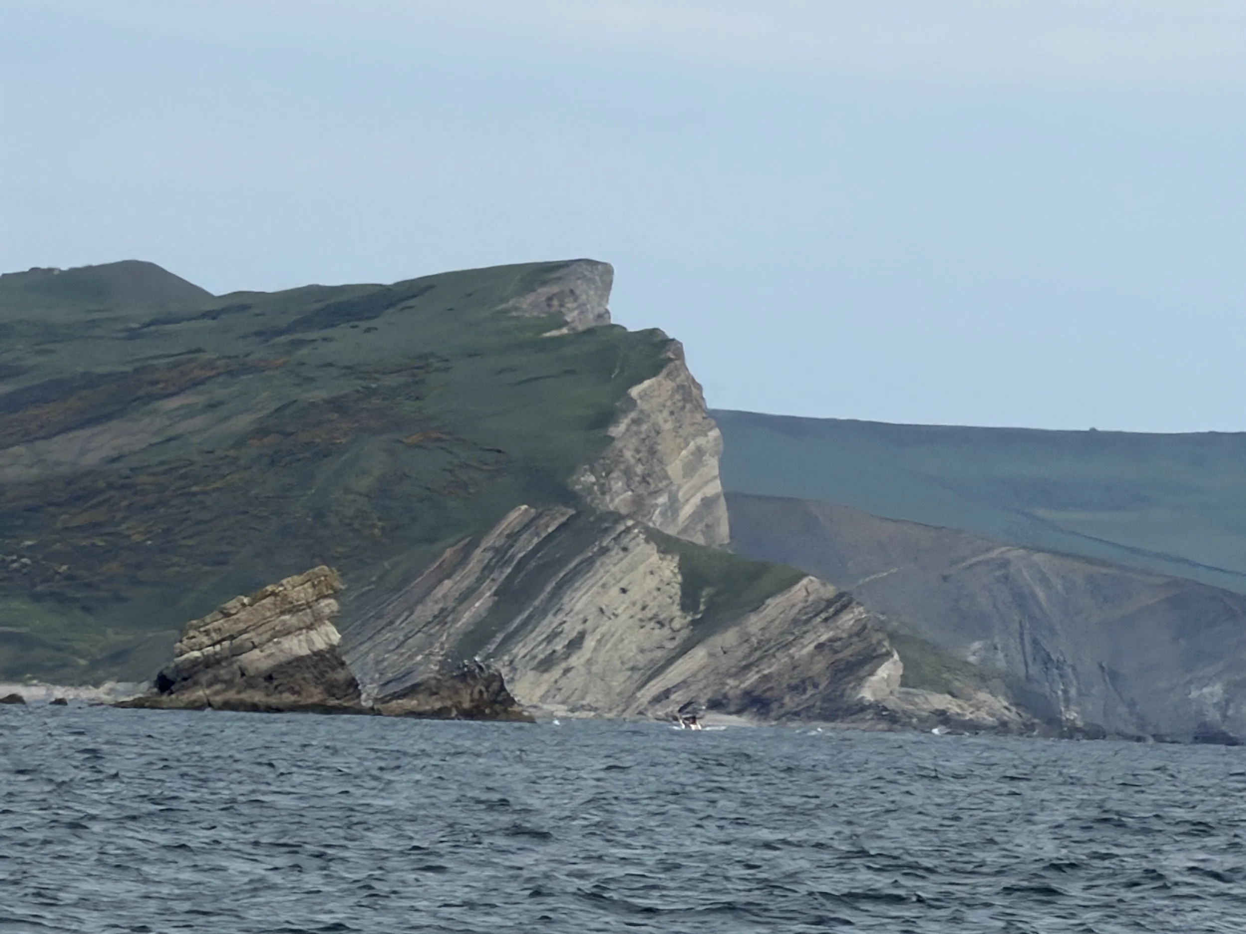
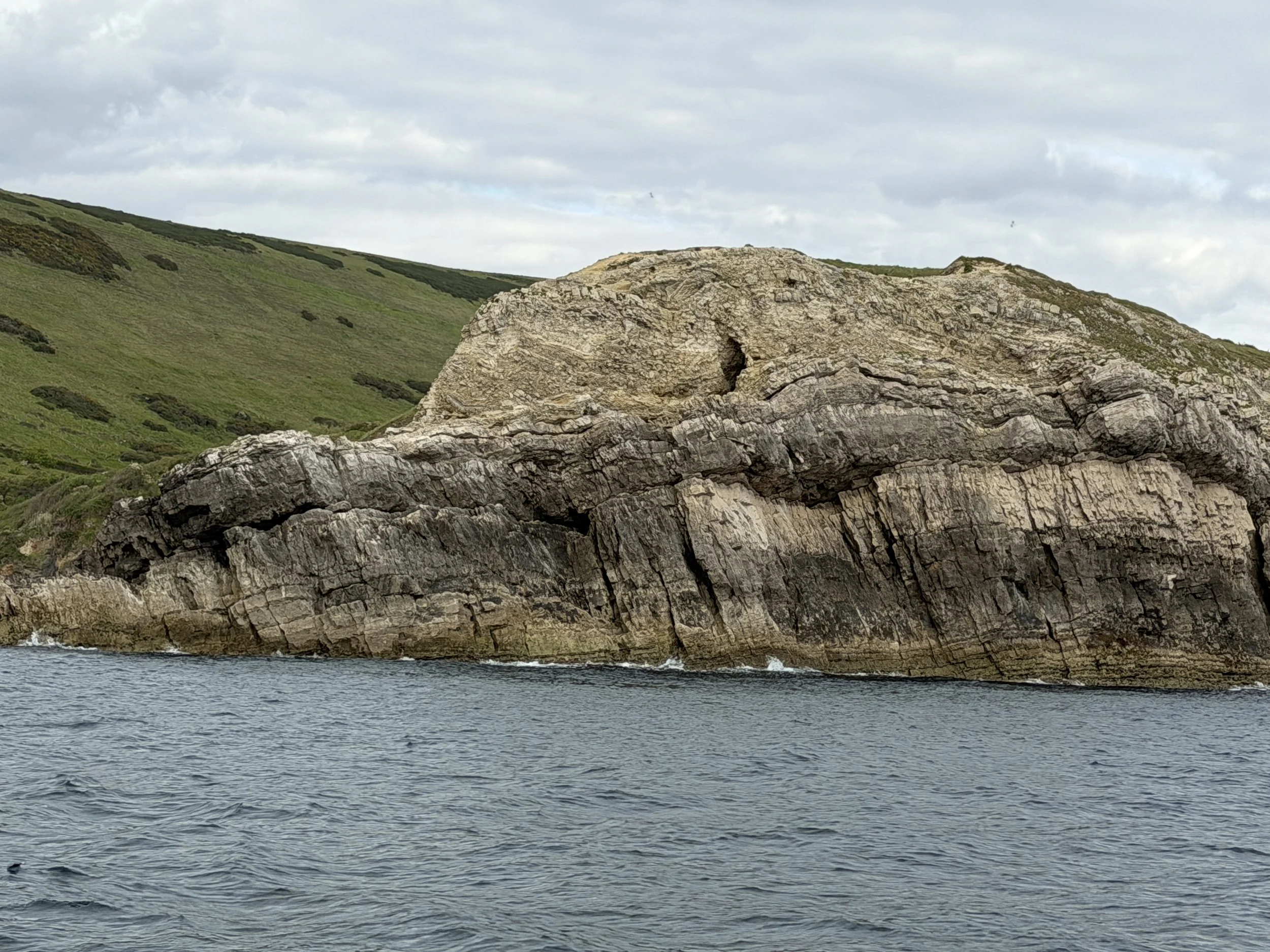
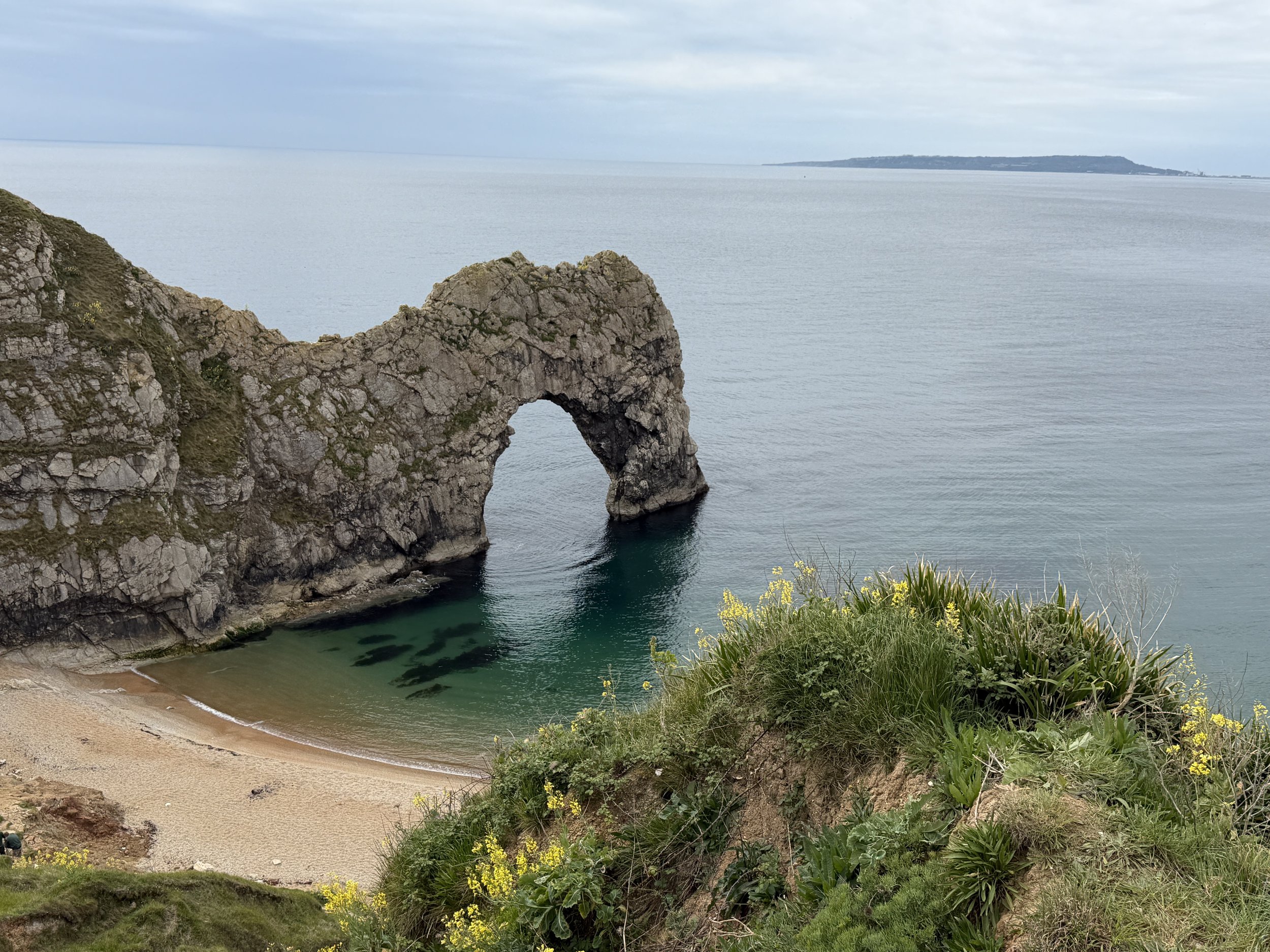
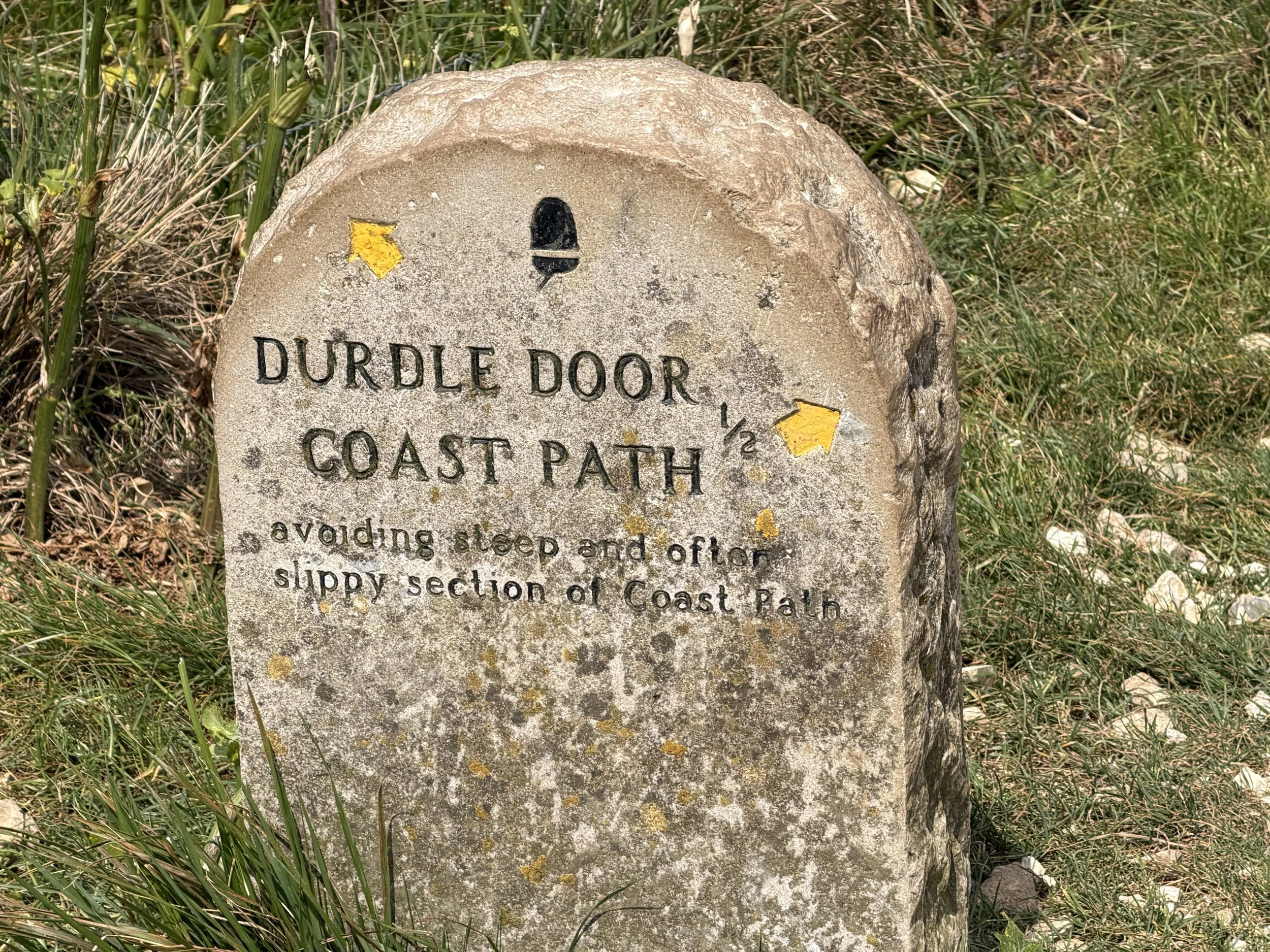
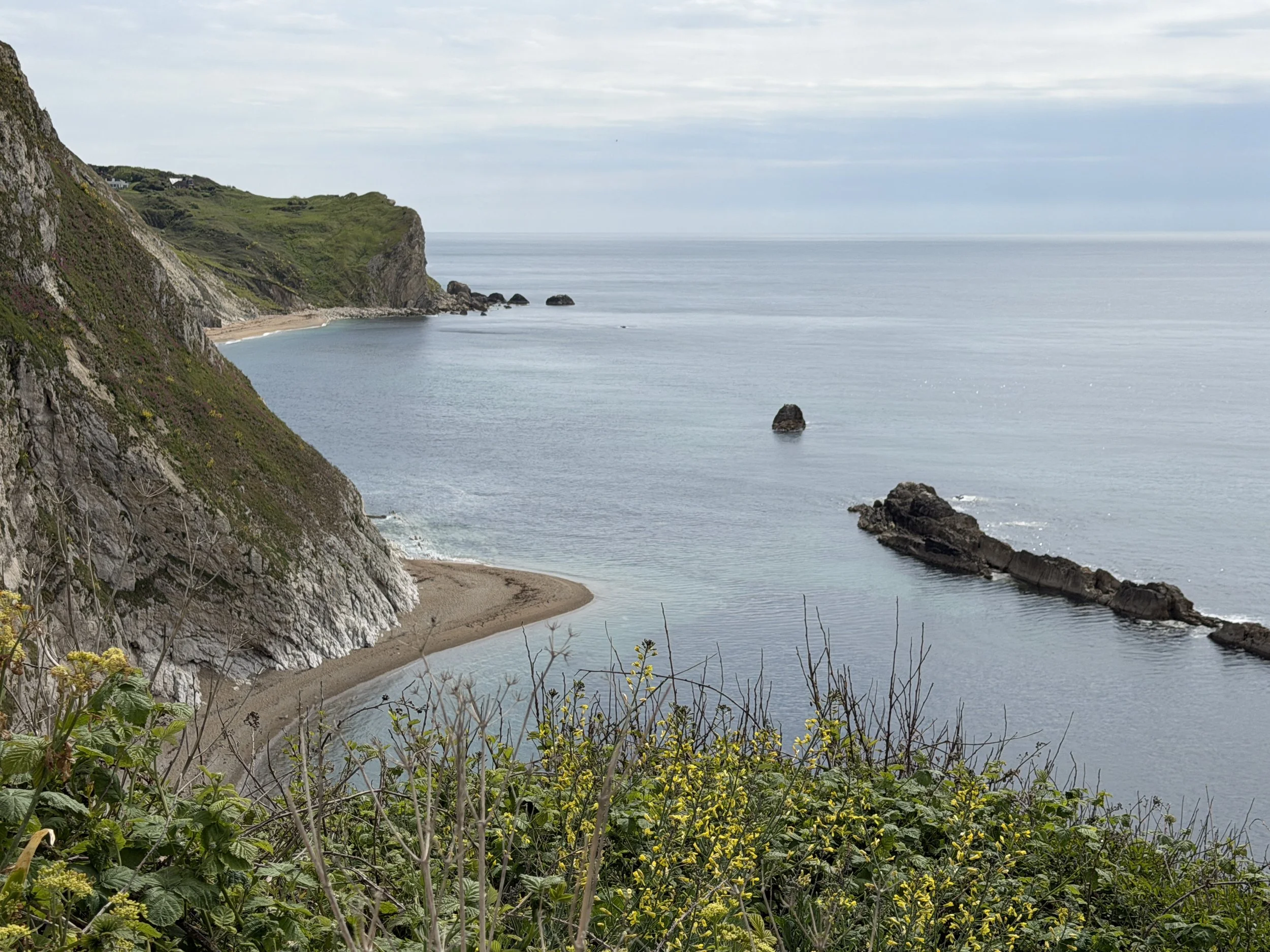
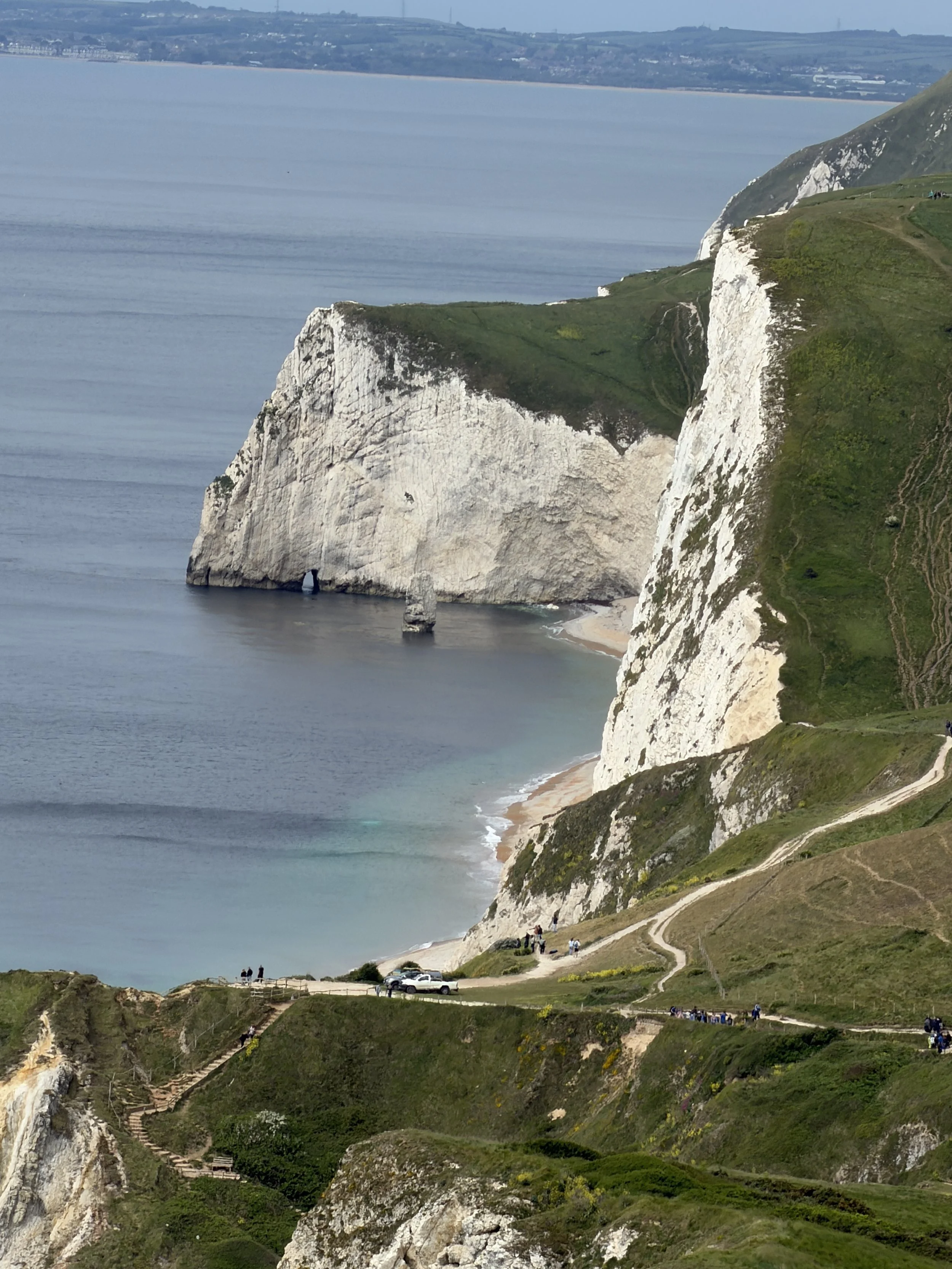
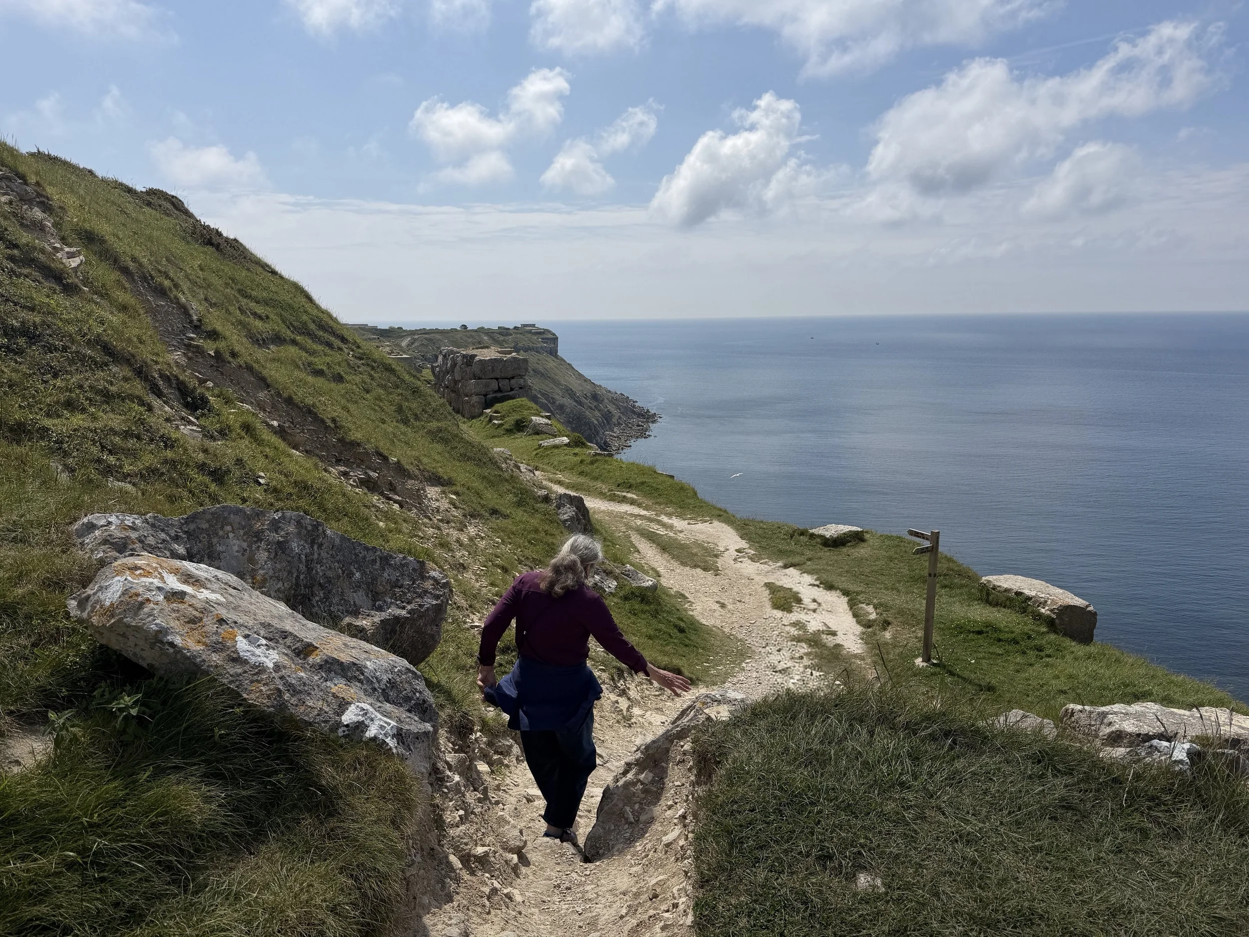
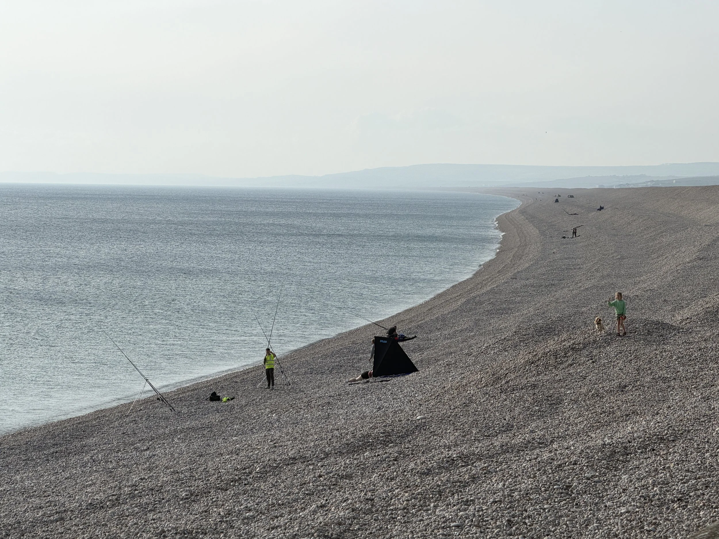
The next morning Tom dropped us off at the beach and the kids and I hiked the stunning coastal path up and along the headlands to Durdle Door. This iconic arched rock formation has been likened to a dragon or dinosaur bending over to sip water from the sea.
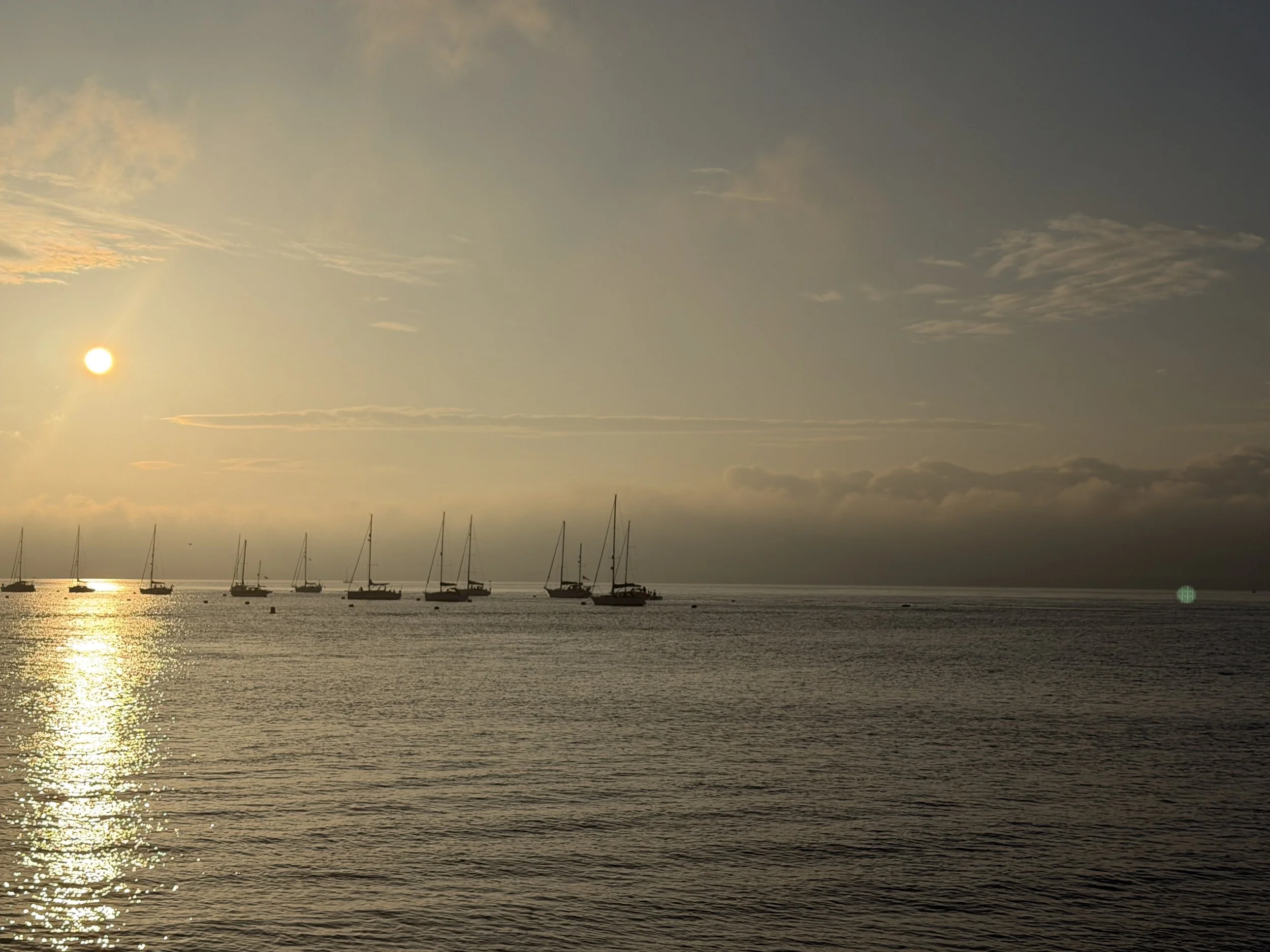
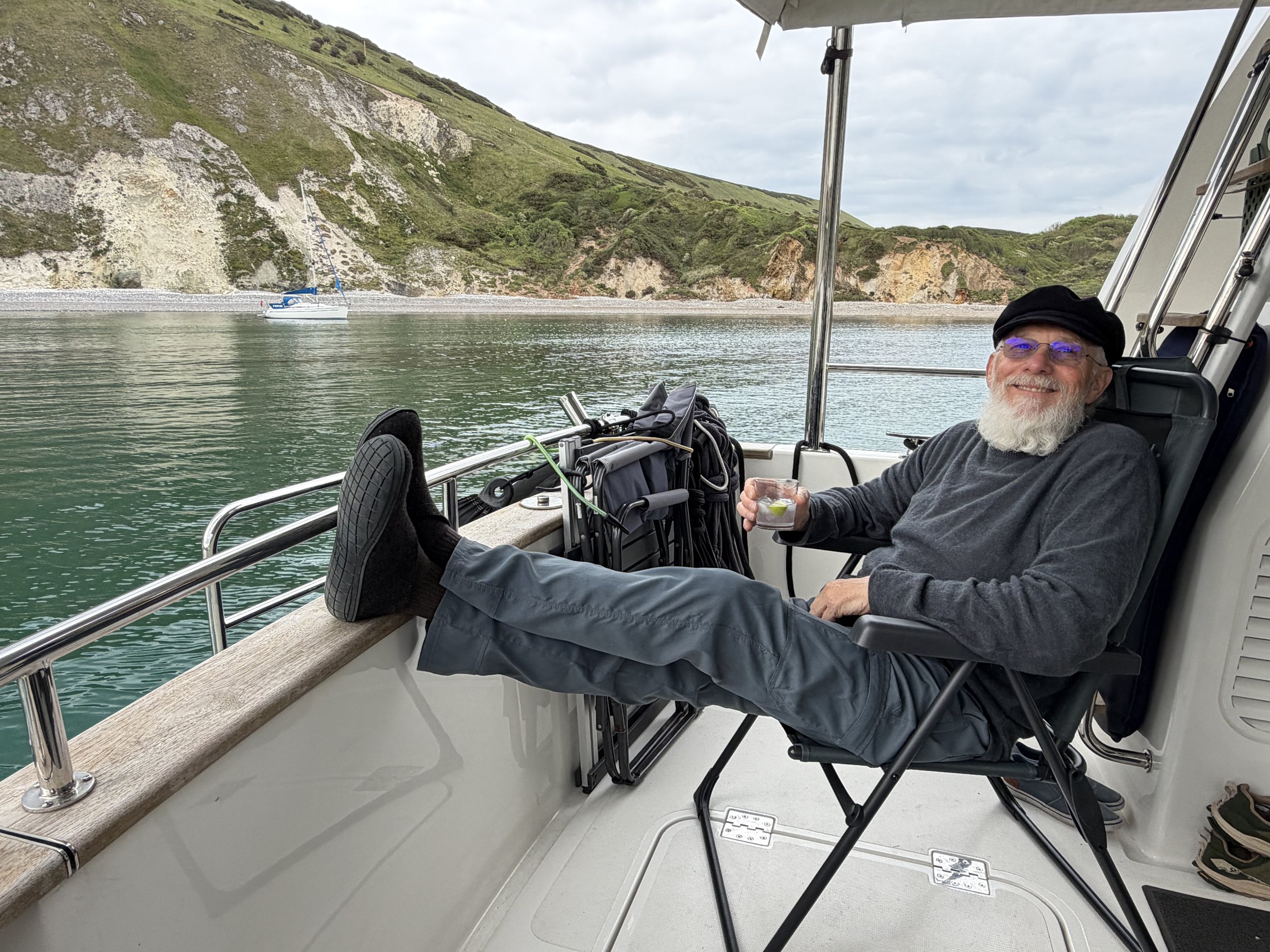
We returned to Meraki tired and hungry and enjoyed a relaxing evening on anchor.
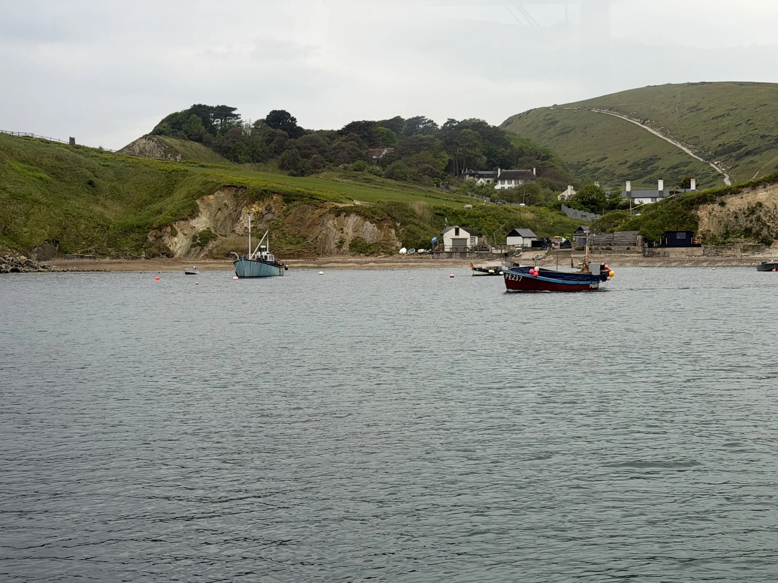
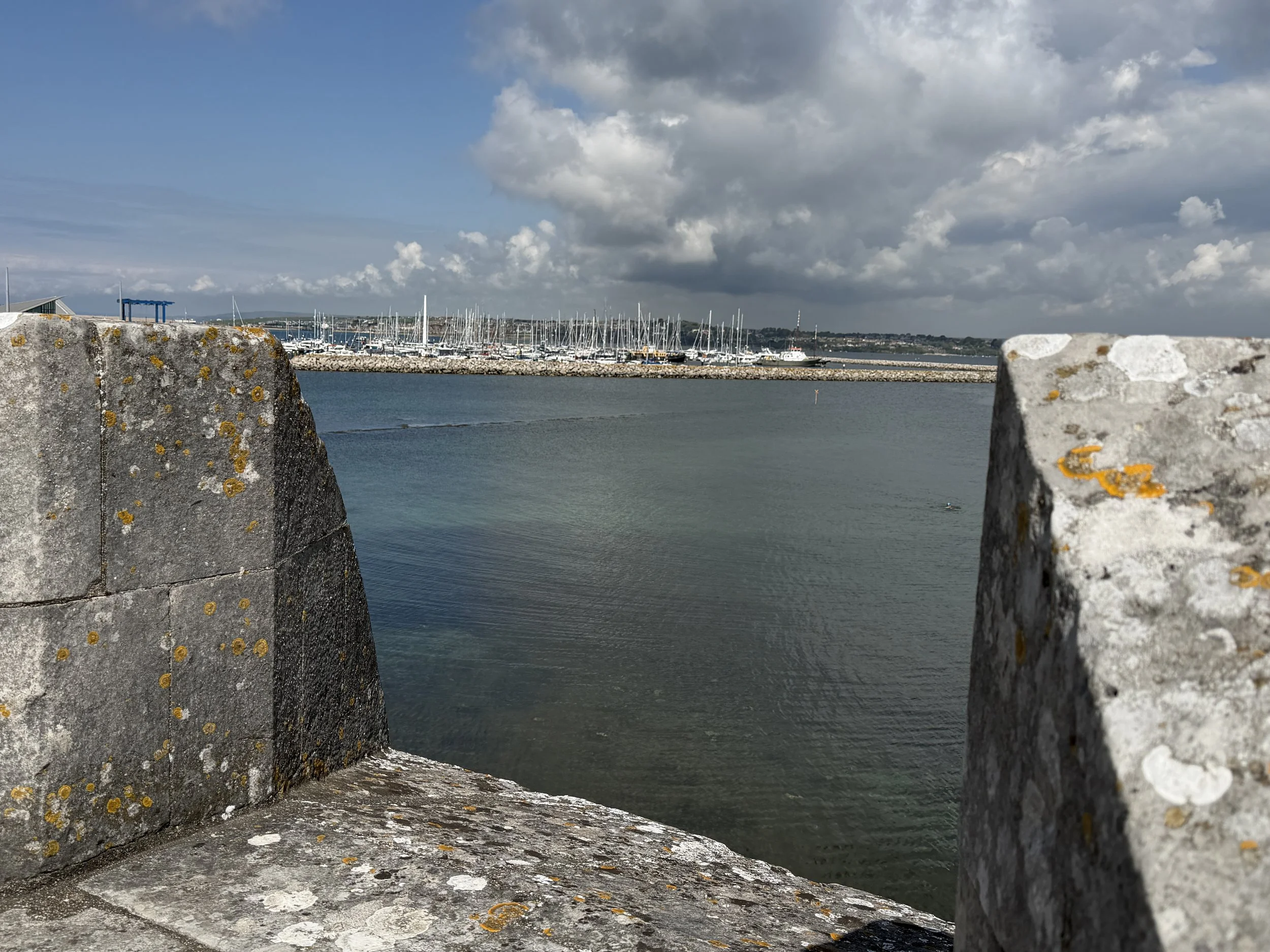
Late afternoon the next day we headed to the Isle of Portland which is actually tied to the mainland. Work began on the Royal Portland Breakwater in 1849 during the Victorian era. Portland Harbor was finally enclosed with the completion of the final two breakwater arms in 1906, making it one of the largest man-made harbors in the world at that time. The bay is also the site of the 2012 Olympic Sailing events.
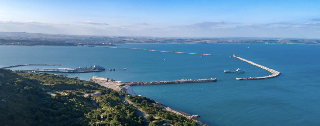
photo credit Portland Town Council
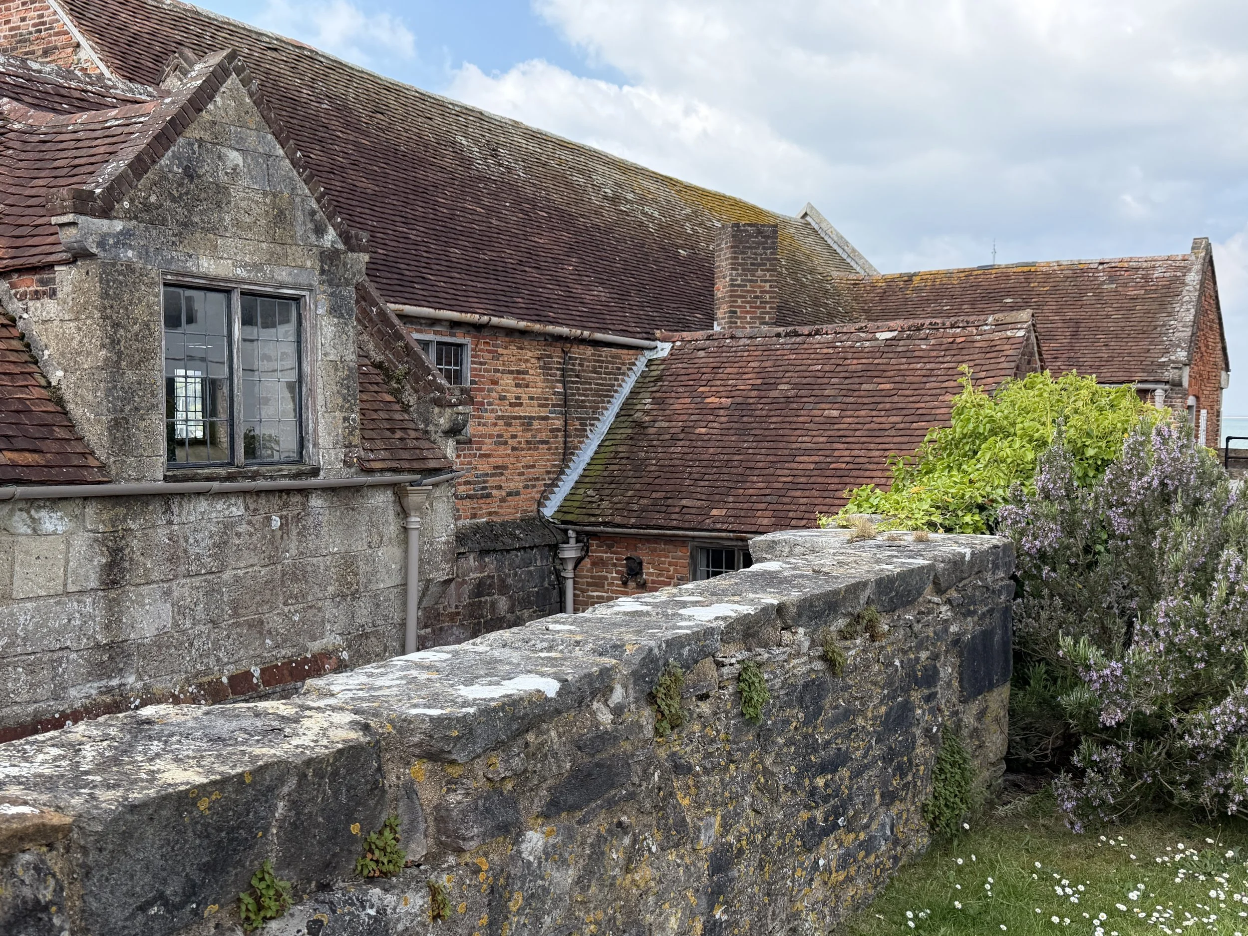
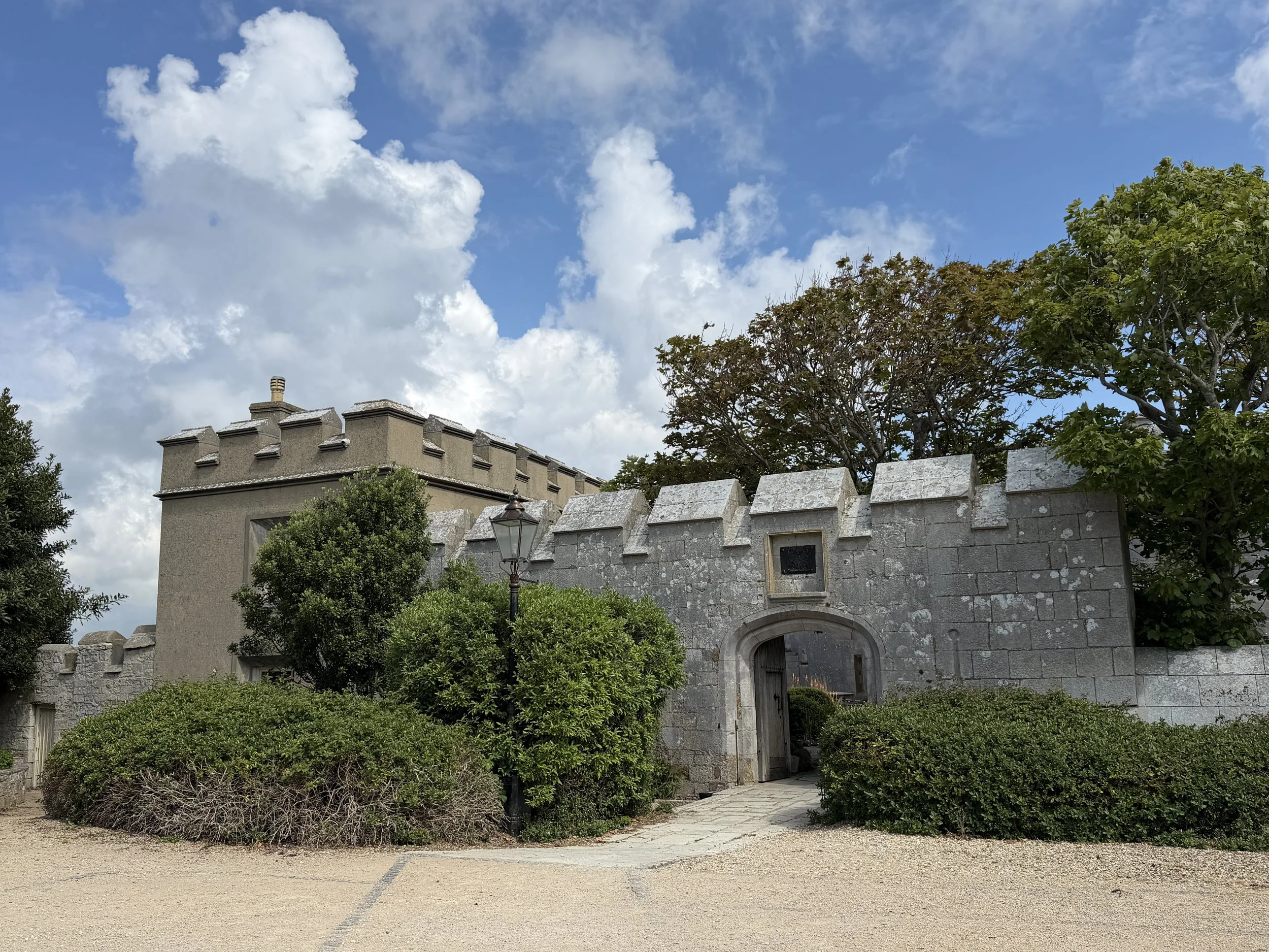
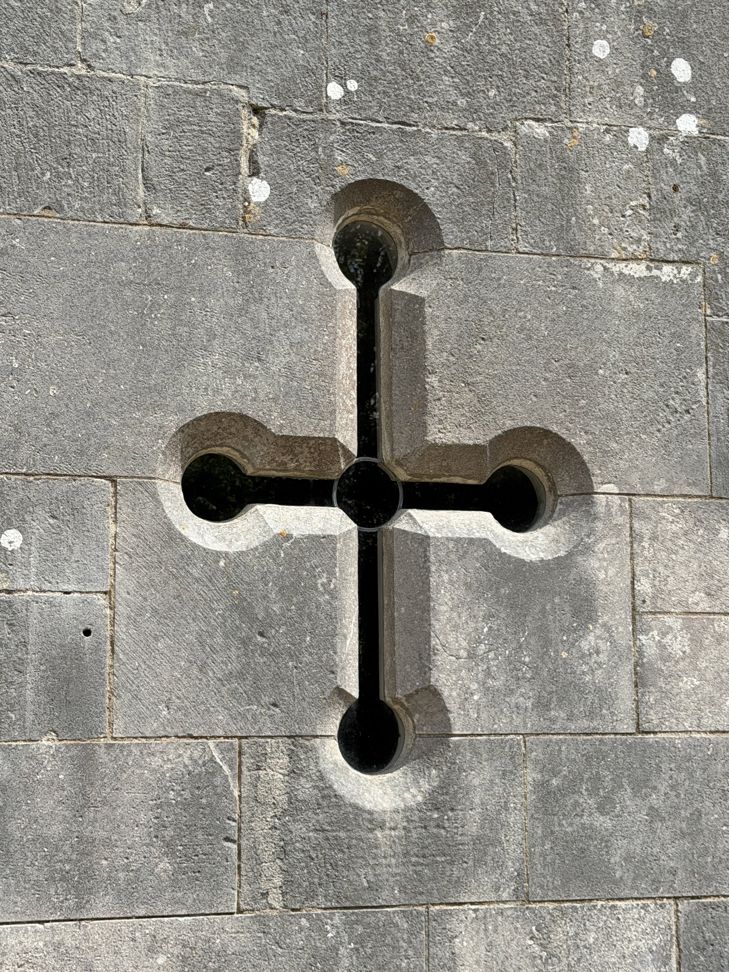
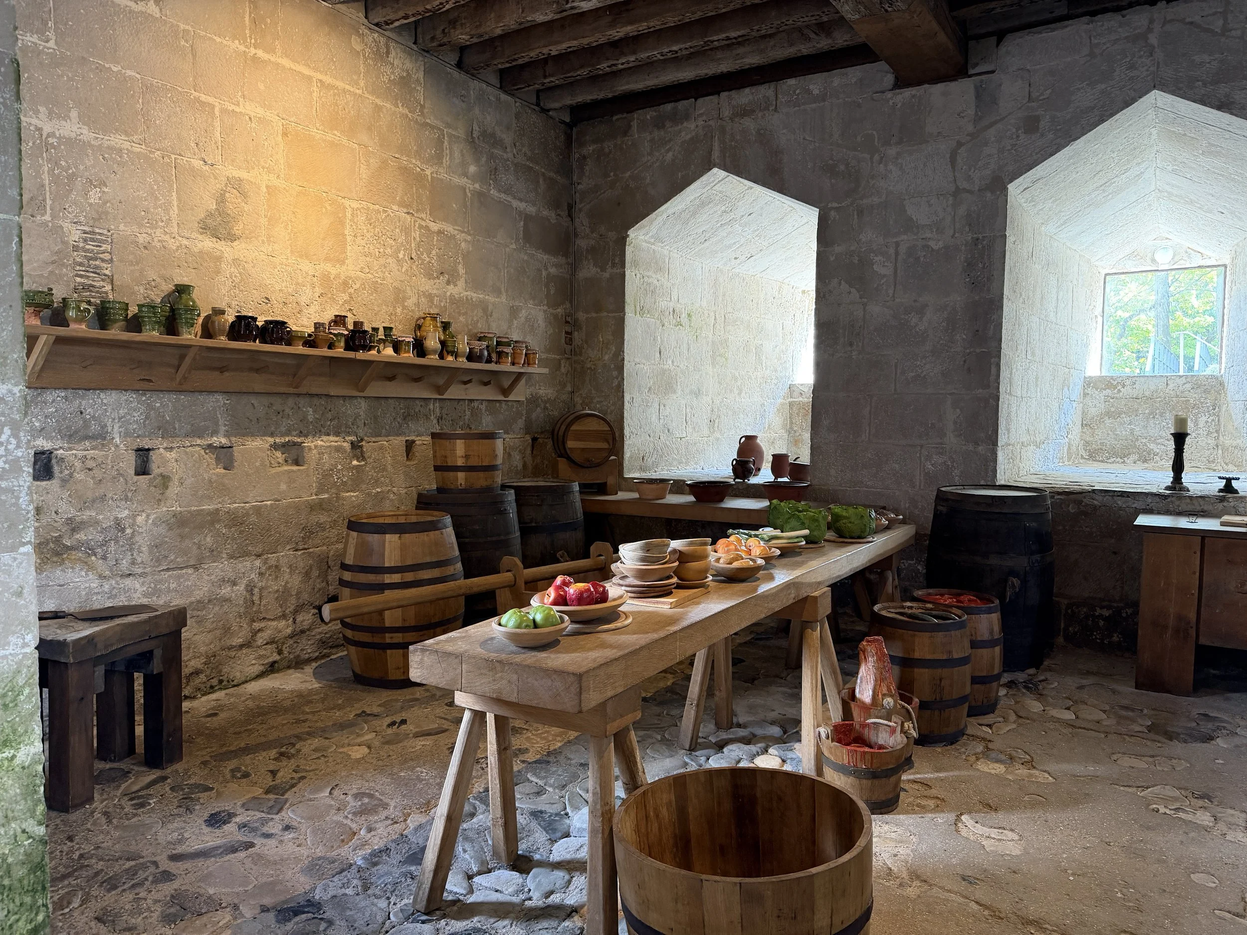
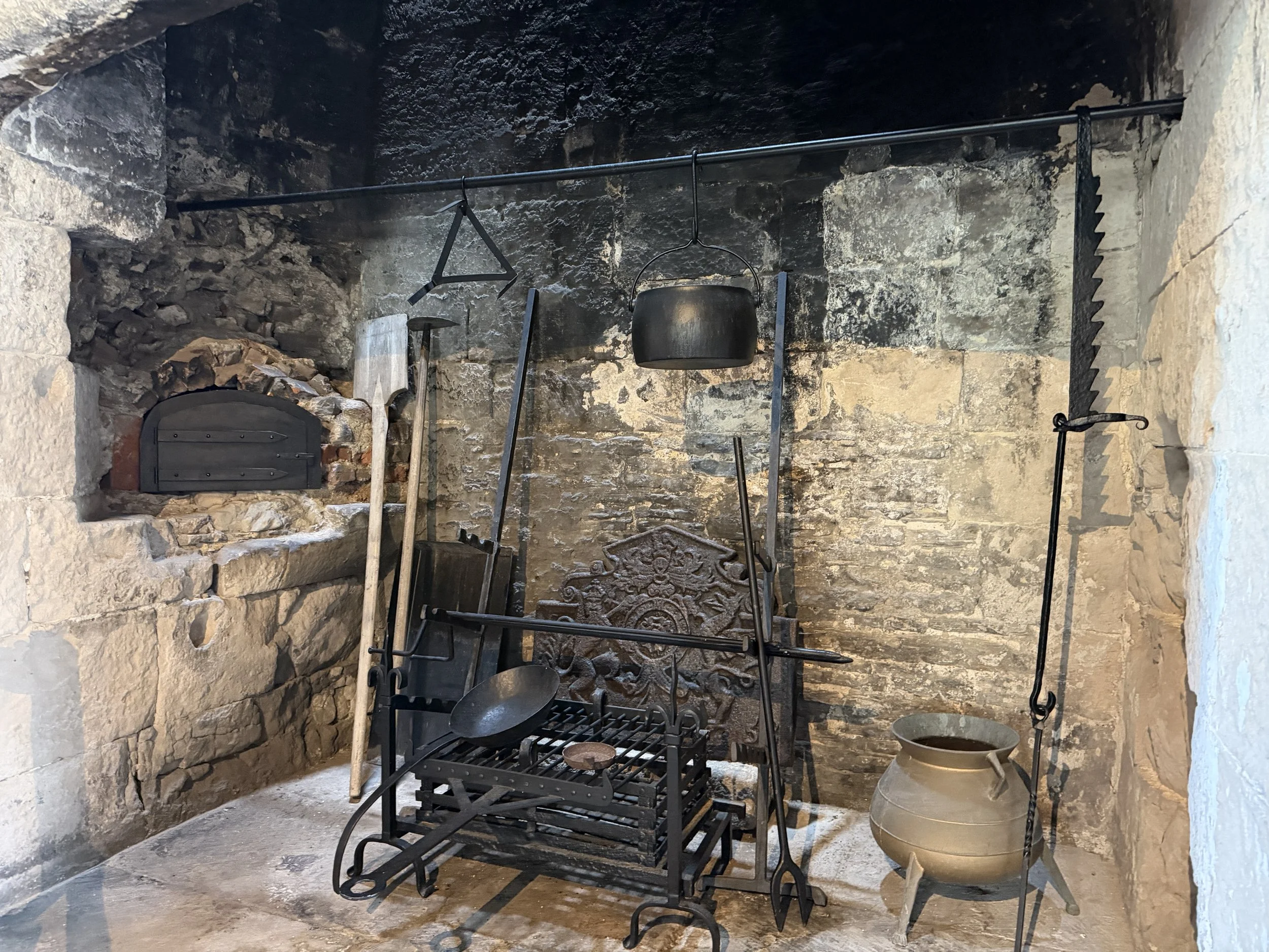
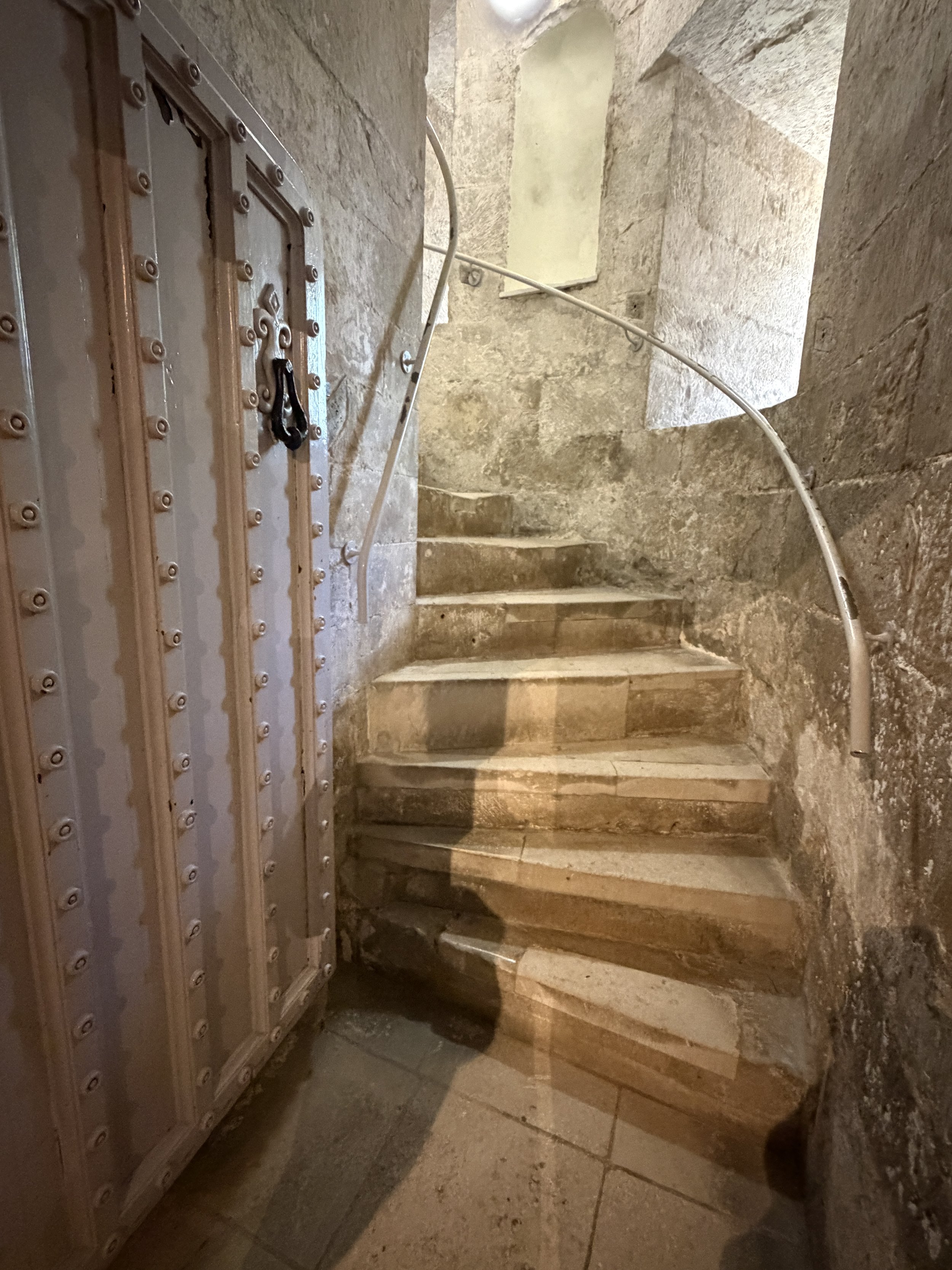
Our first stop was, of course, the castle. Portland Castle is another of Henry VIII’s coastal artillery forts. It is squat and its 12’ (4m) thick rounded walls were designed to deflect incoming cannon shot. A ticket to tour the castle gives access to the Tudor kitchen, armory, gun decks, the Governor’s garden and includes an excellent audio tour along with interactive exhibits.
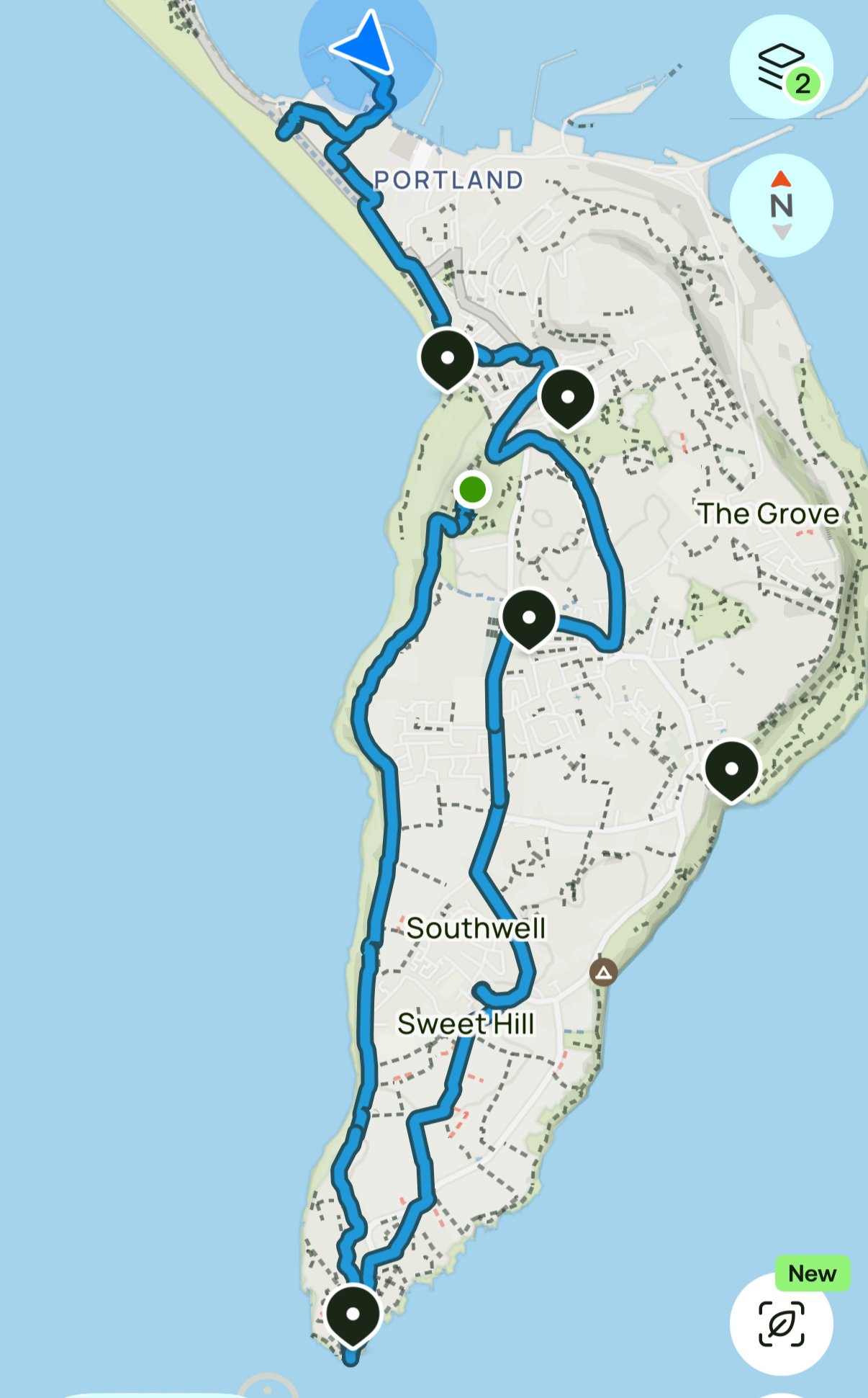
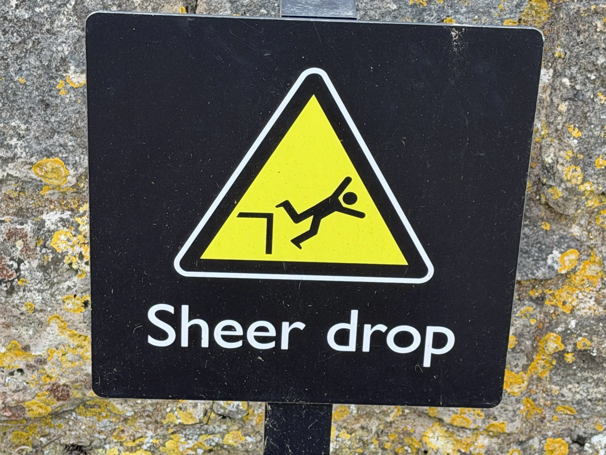
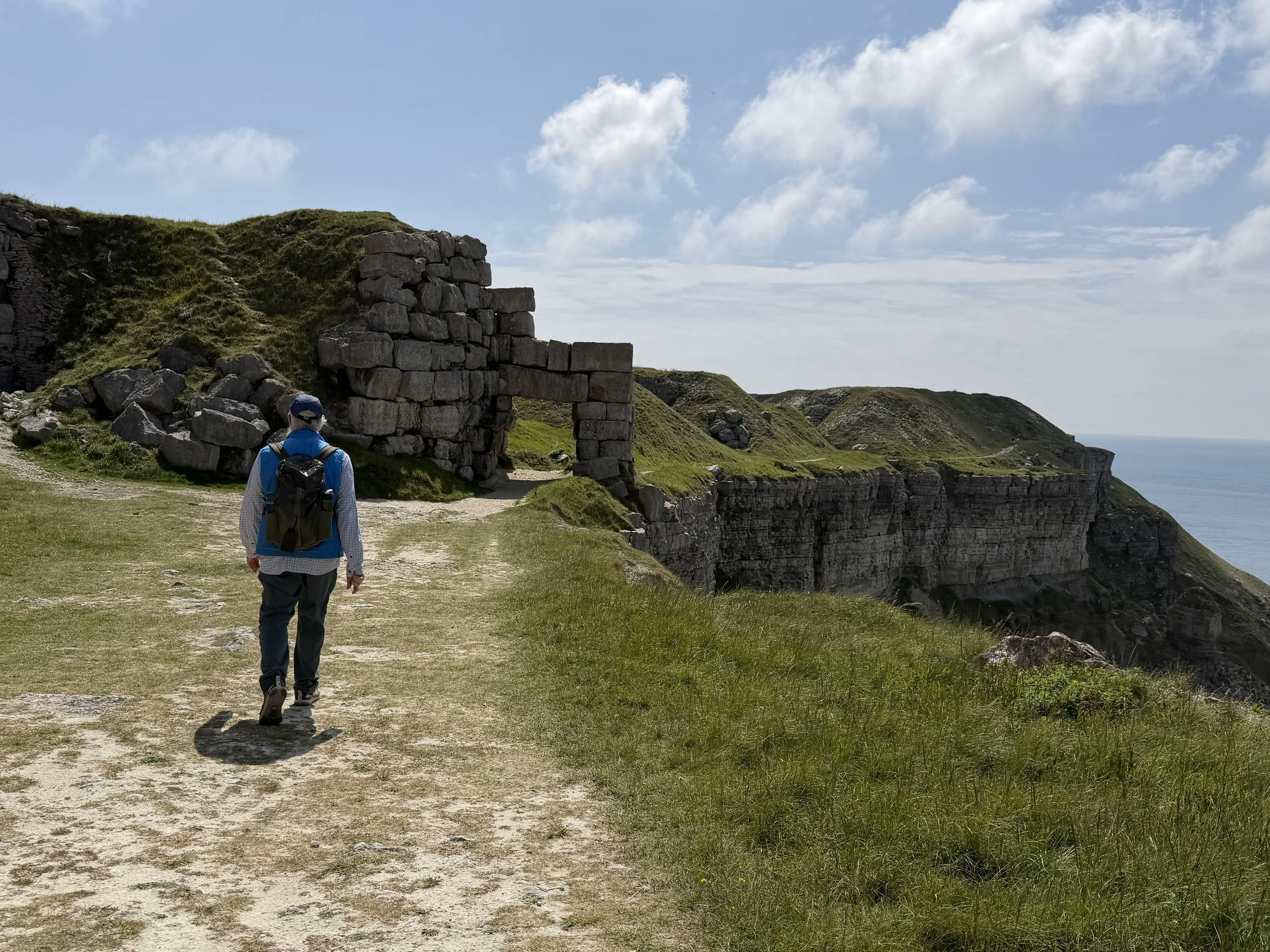
Venturing on we took the bus up to the Heights - a great picnic spot for lunch overlooking the harbor. Here we began our hike through the quarry to the southern end of the island.
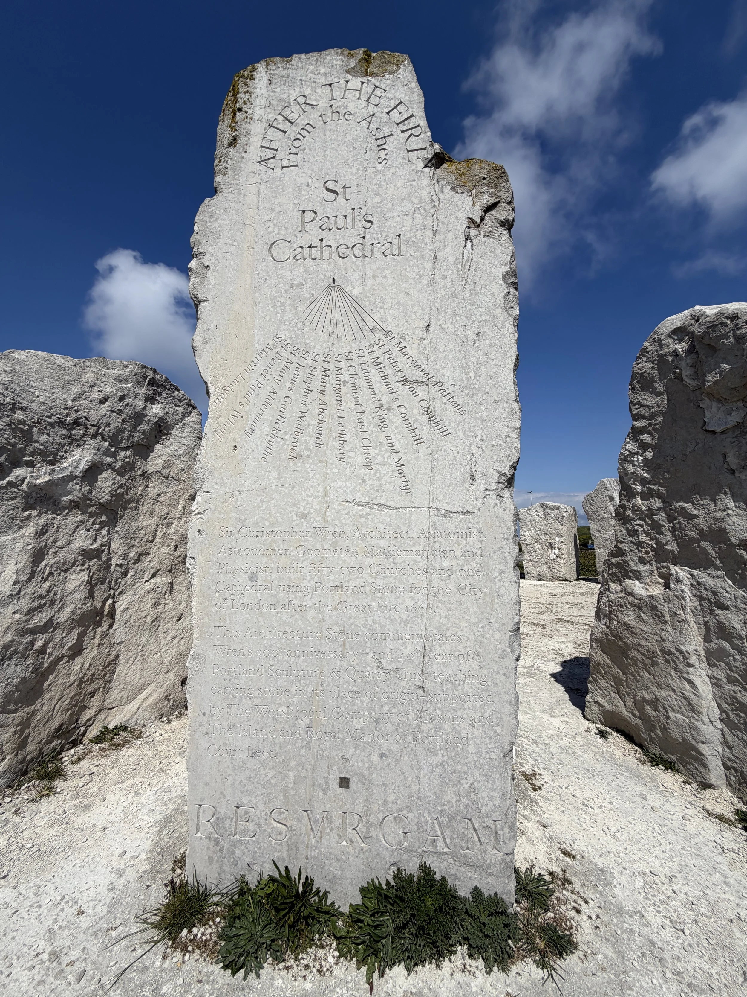
Situated on the clifftop at 100 meters above sea level, the limestone quarried from Portland, known as Portland Stone, has been used on important buildings around the world. These include Buckingham Palace, St Paul’s Cathedral and the UN Headquarters in New York. Approximately 12 million metric tons of dimension stone have been quarried from the Isle of Portland over the last thousand years.
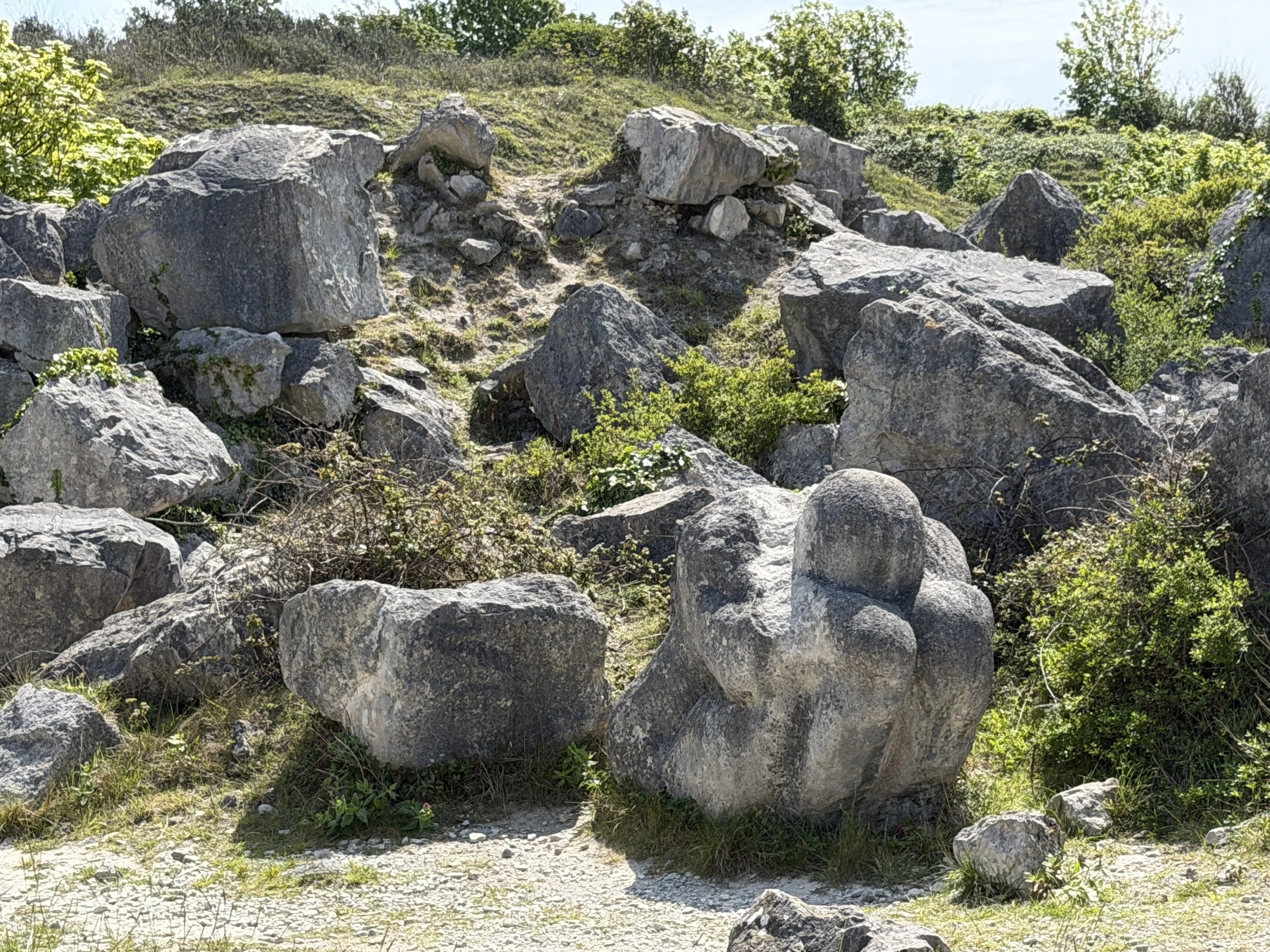
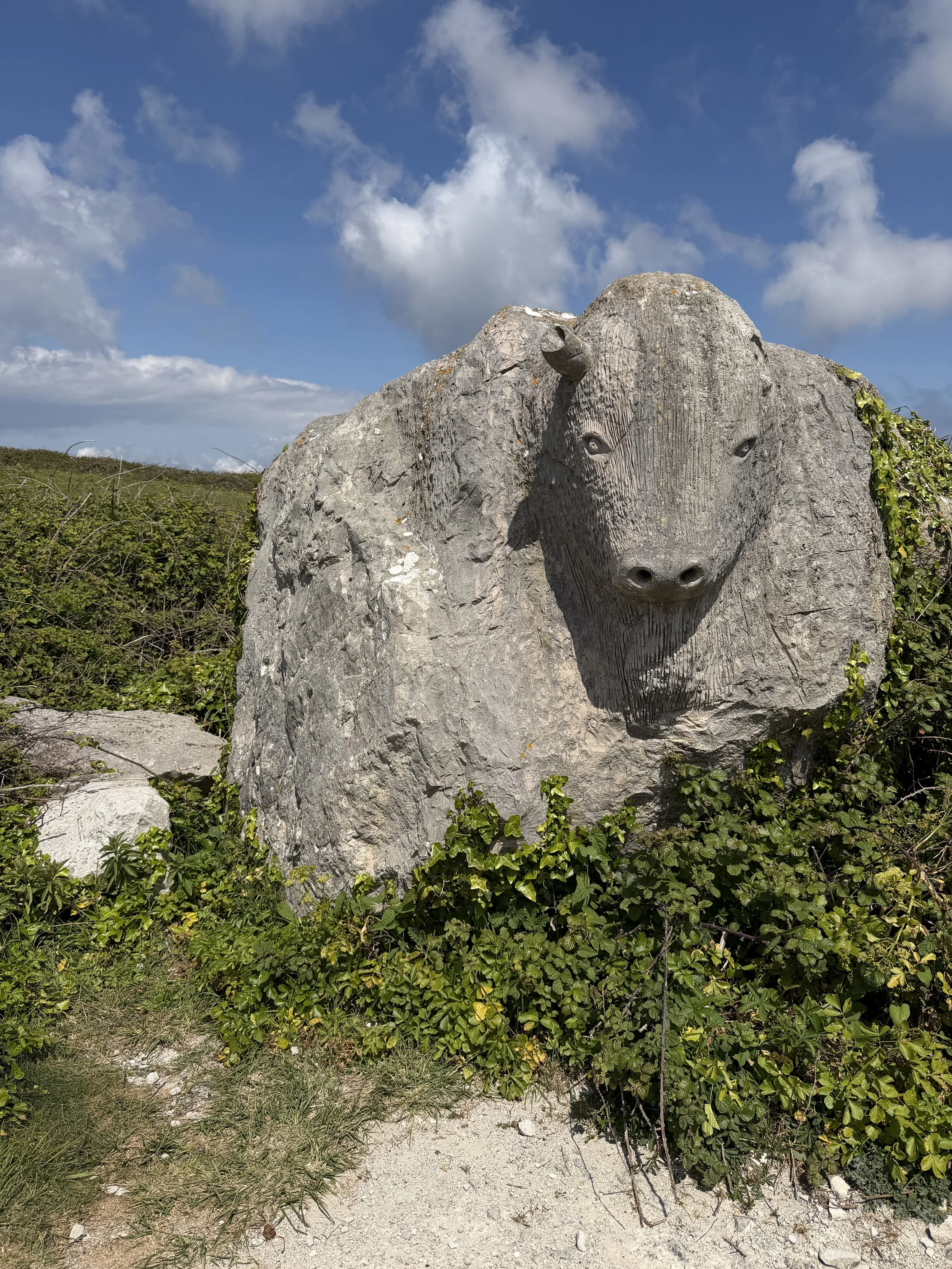
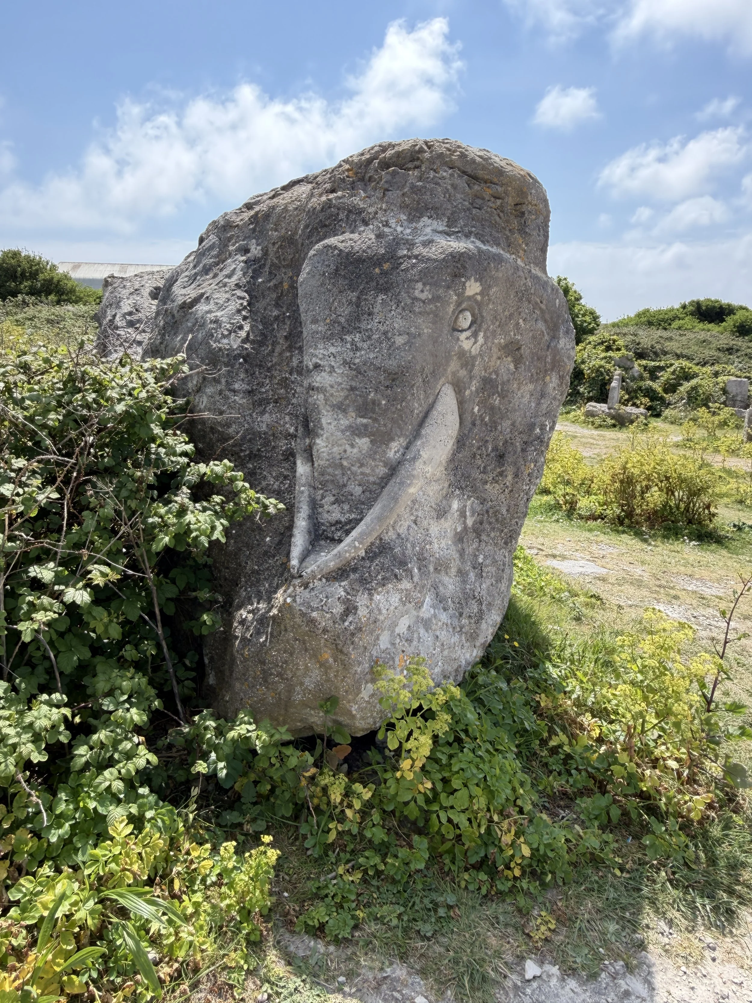
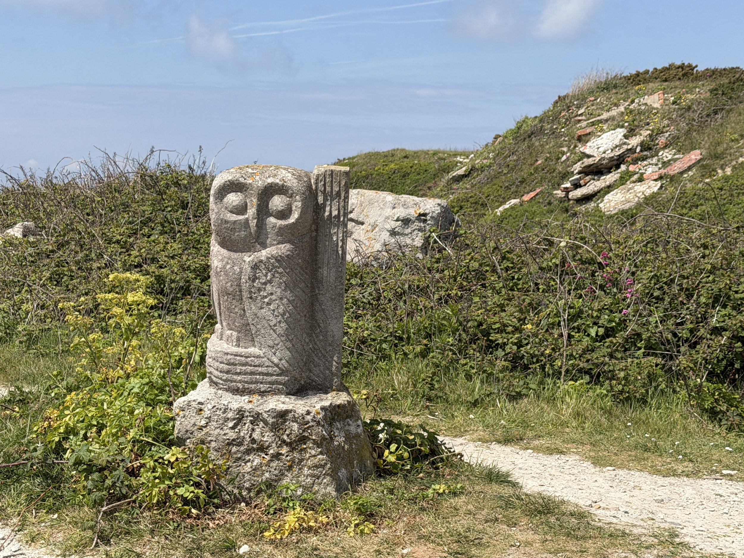
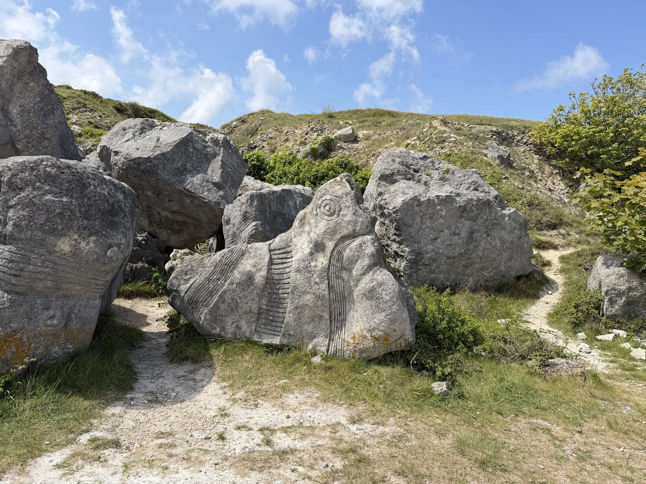
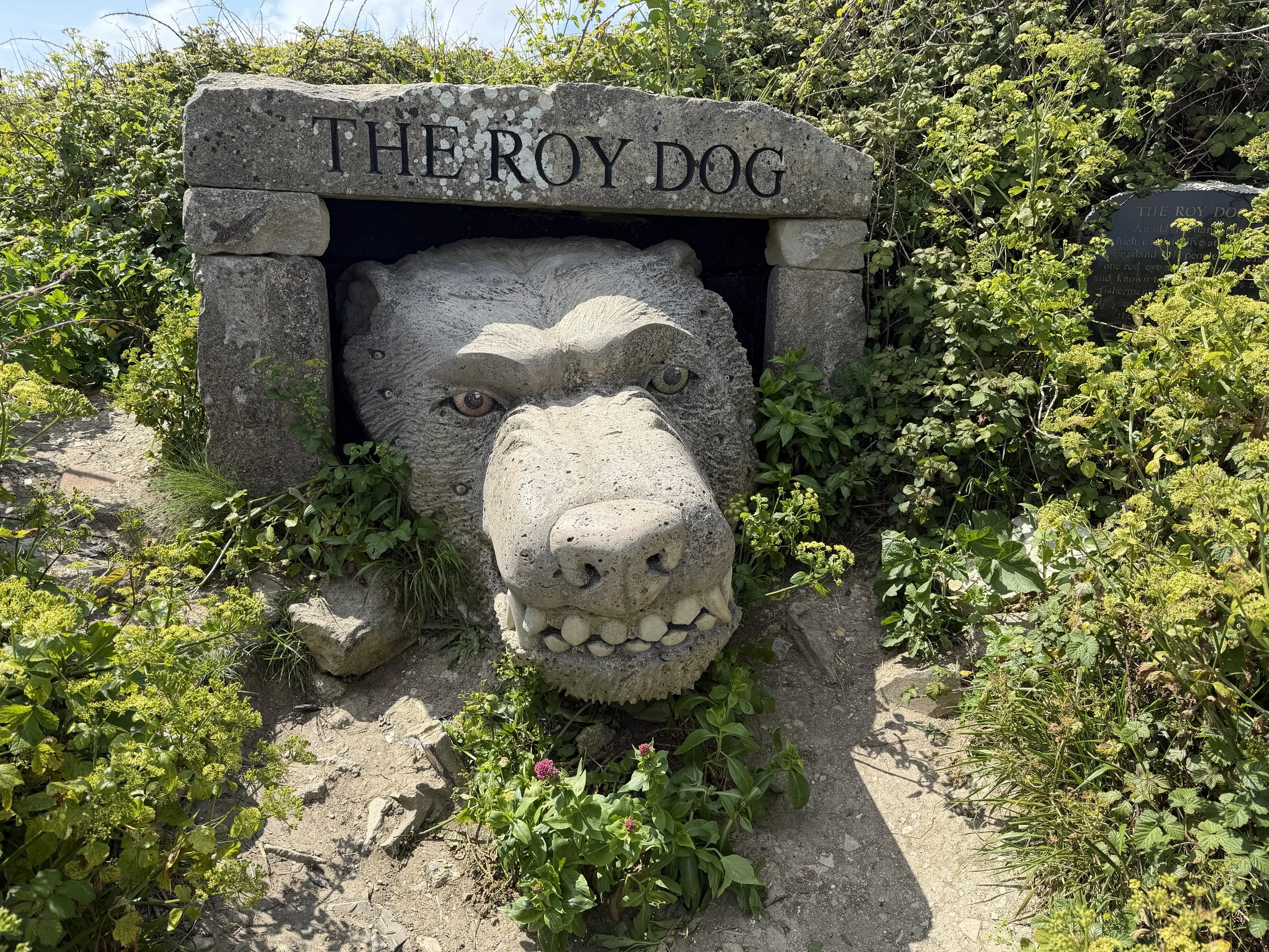
Tout Quarry is now a sculpture park and nature reserve in an abandoned 13 hectare (32 acre) quarry. The remains of the quarry’s limestone has been used to create surprising sculptures - 70 plus sculptures in total.

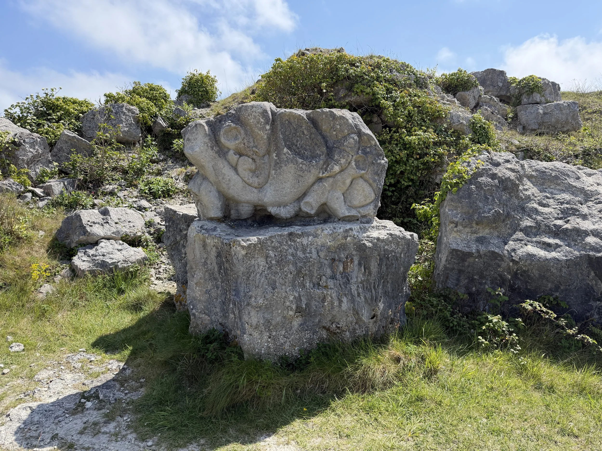
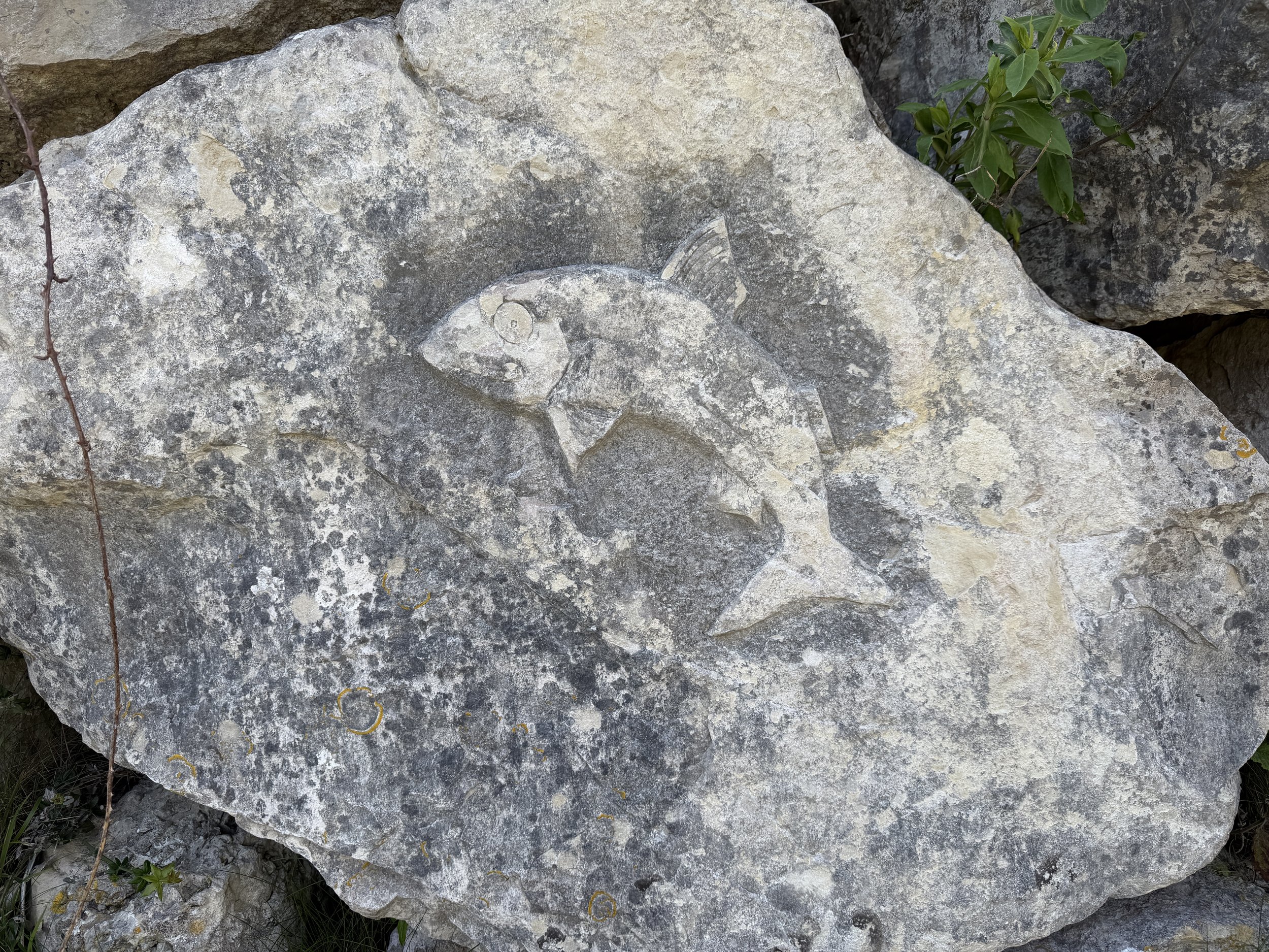
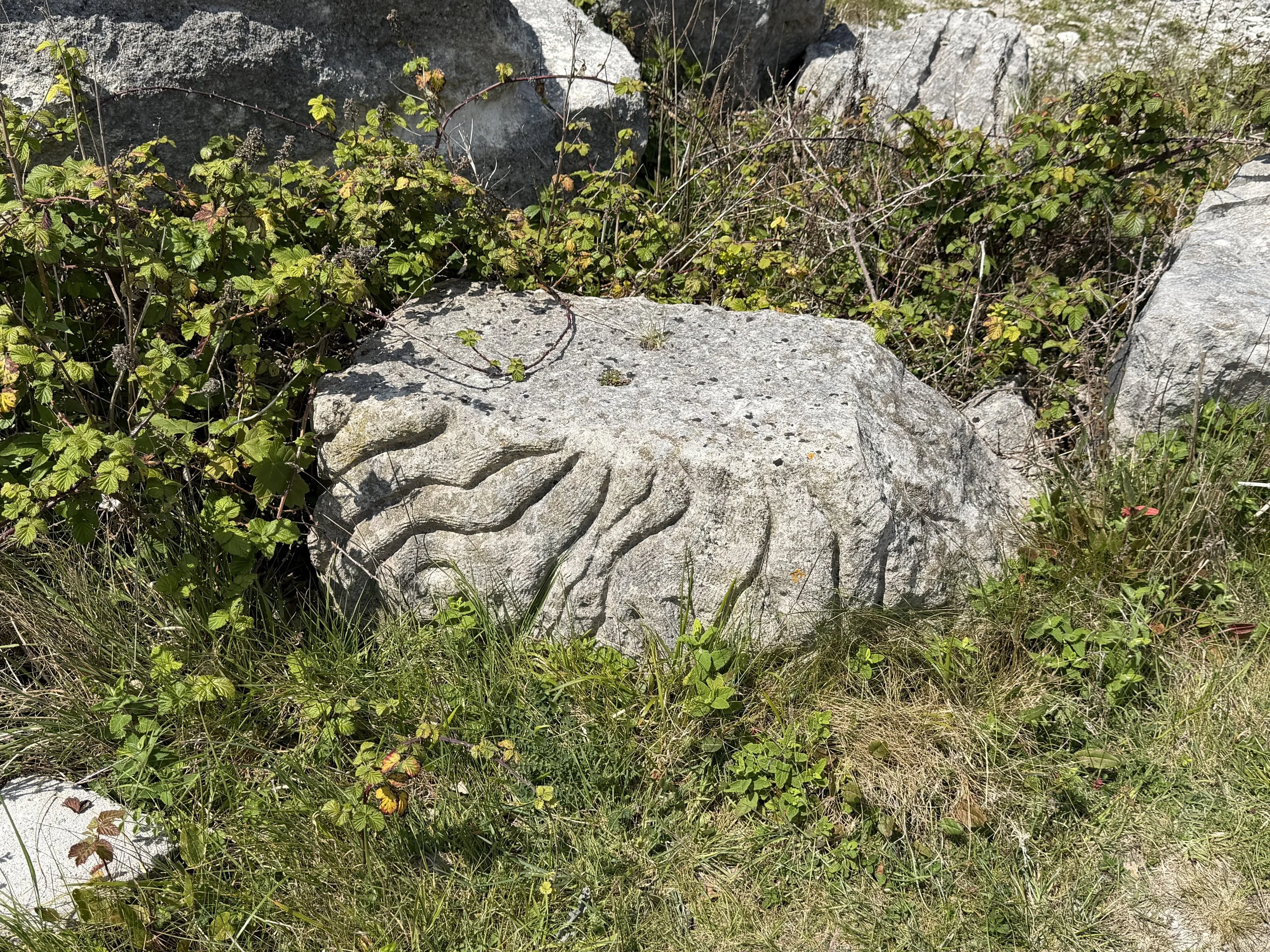
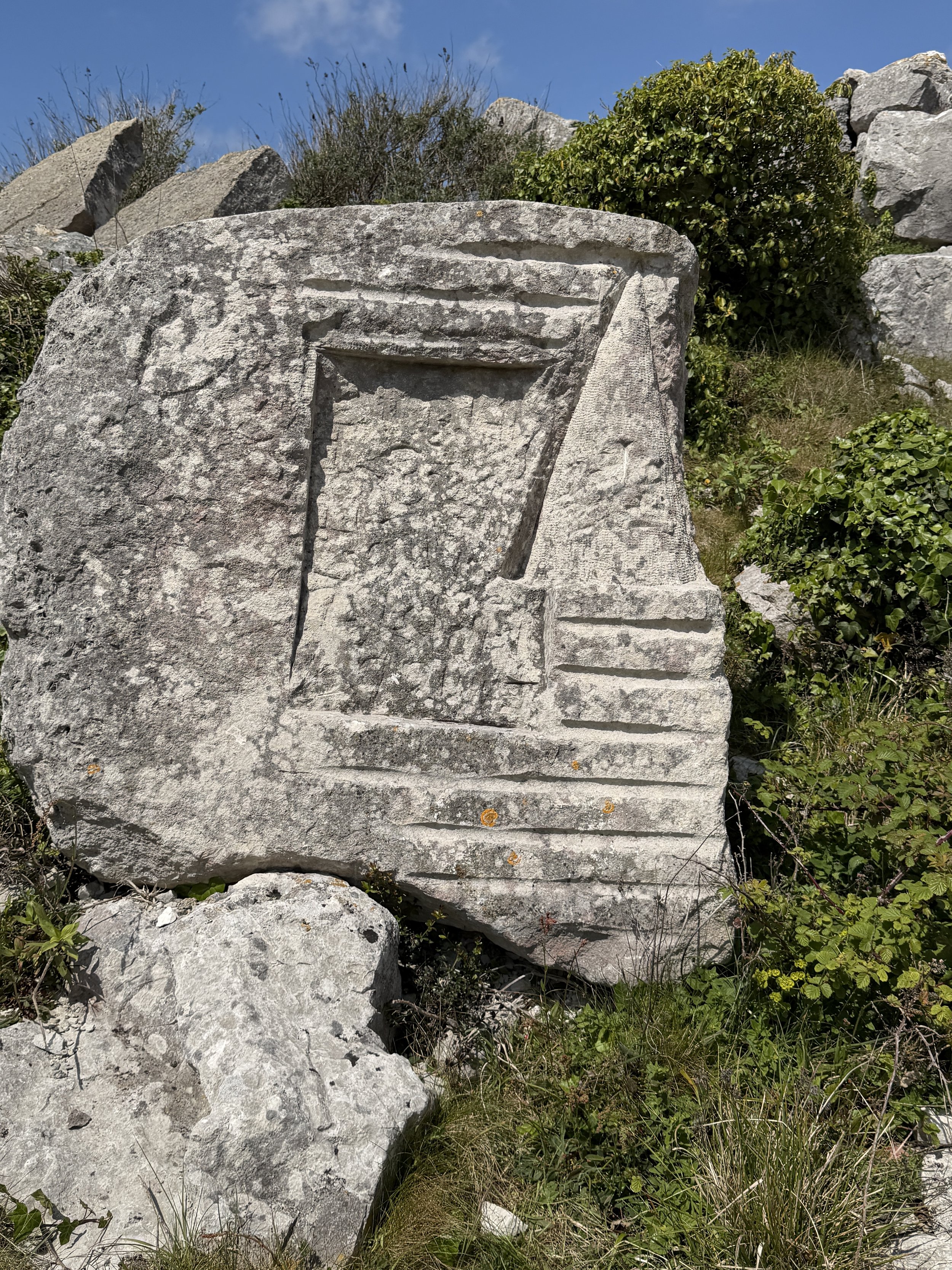
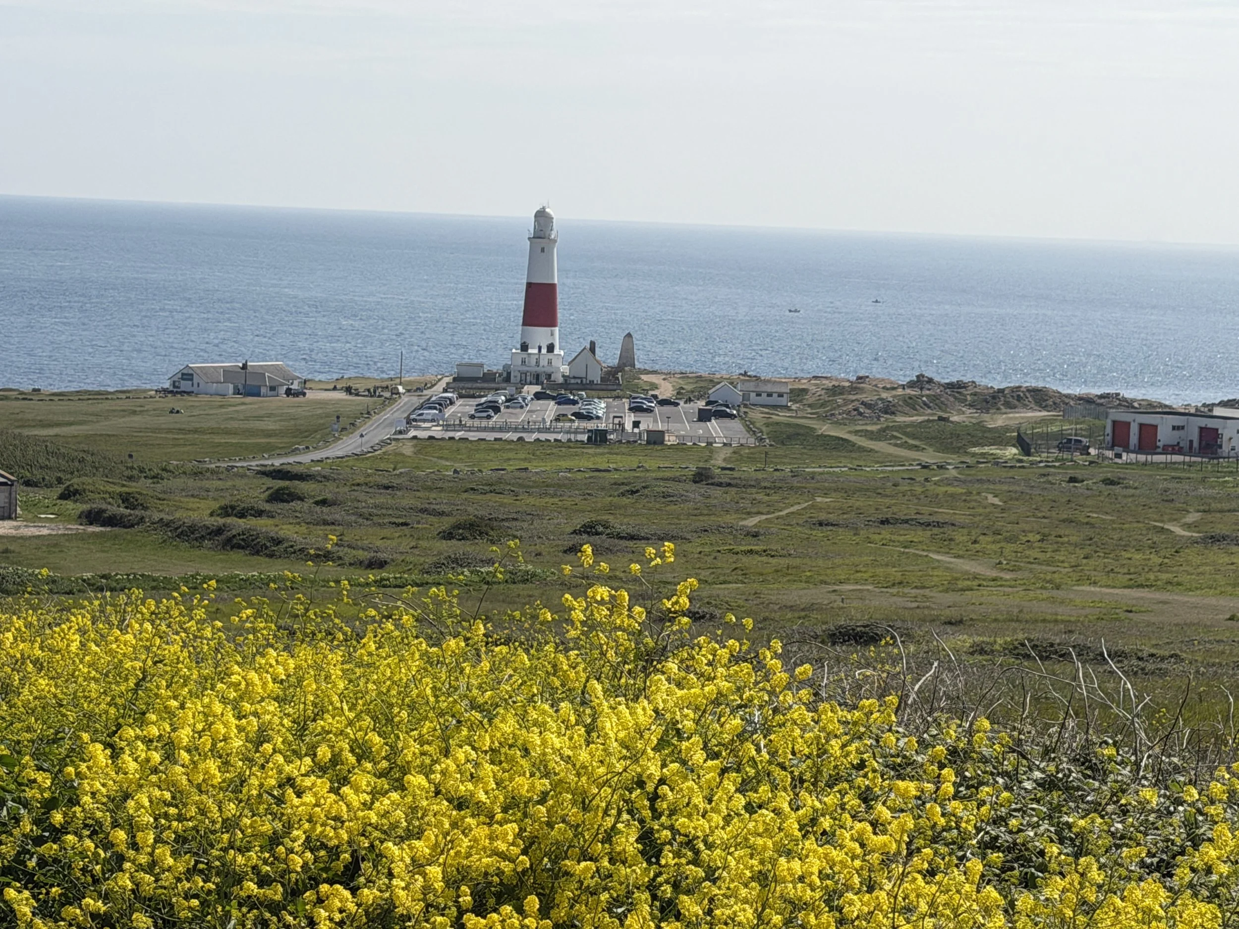
We continued along the headlands towards the Portland Lighthouse, located at the southernmost tip of the island known as Portland Bill. The lighthouse has been standing since 1905 at a height of 41 meters (135 ft). It first shone its light on 11 January 1906 and had a range of 25 nautical miles. It guided passing vessels through the hazardous waters around Portland Bill, as well as acting as a waymark for ships navigating the English Channel. In 2019 it was re-engineered but remains in operation today.
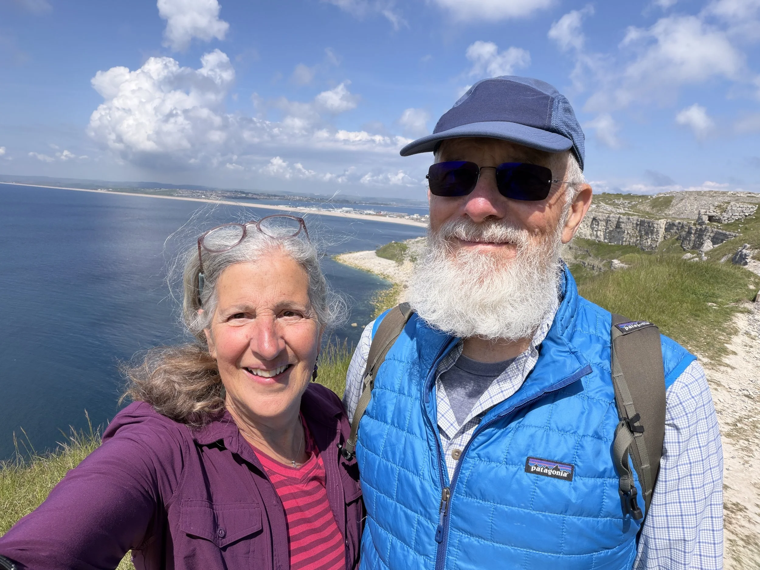
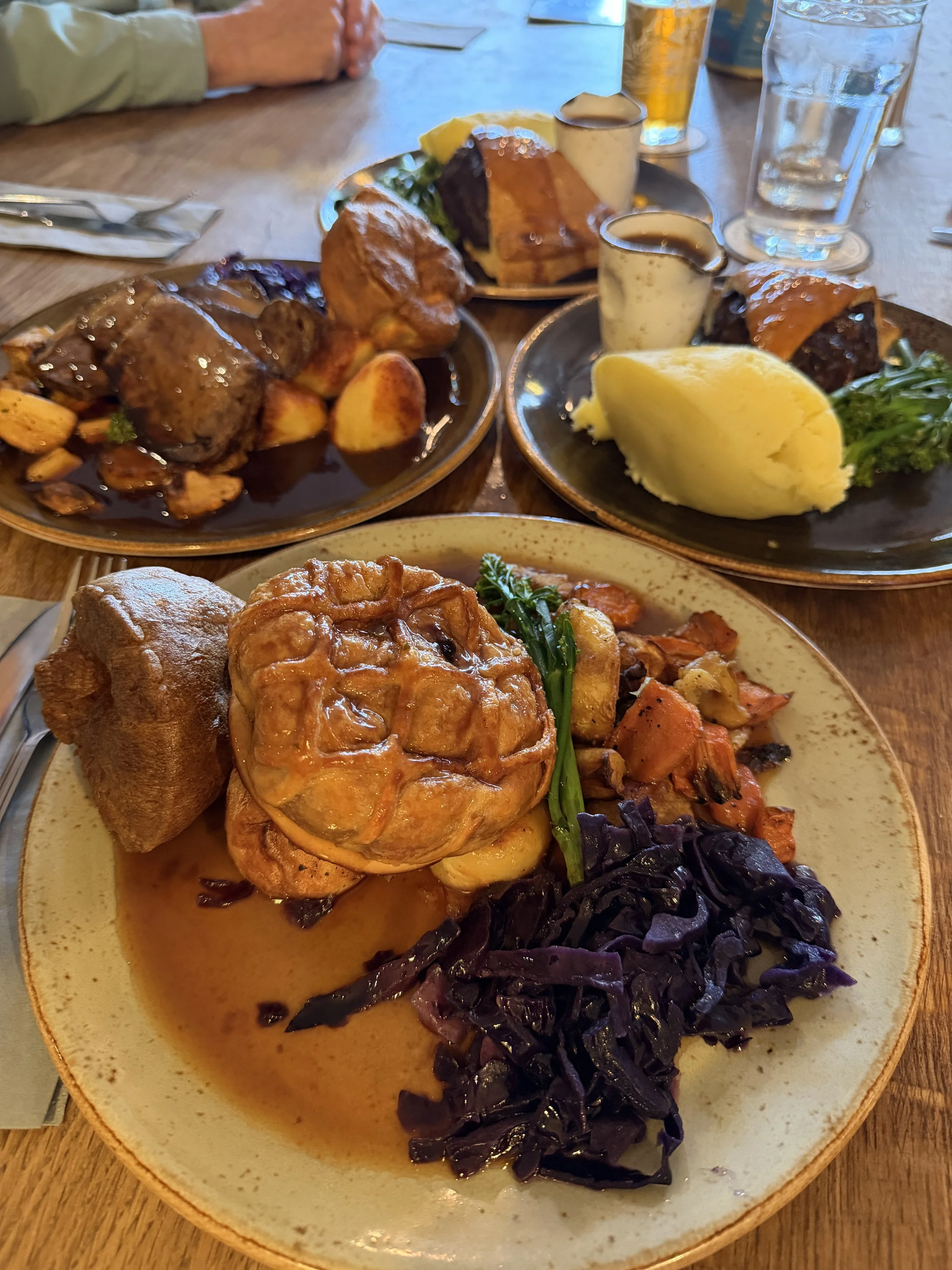
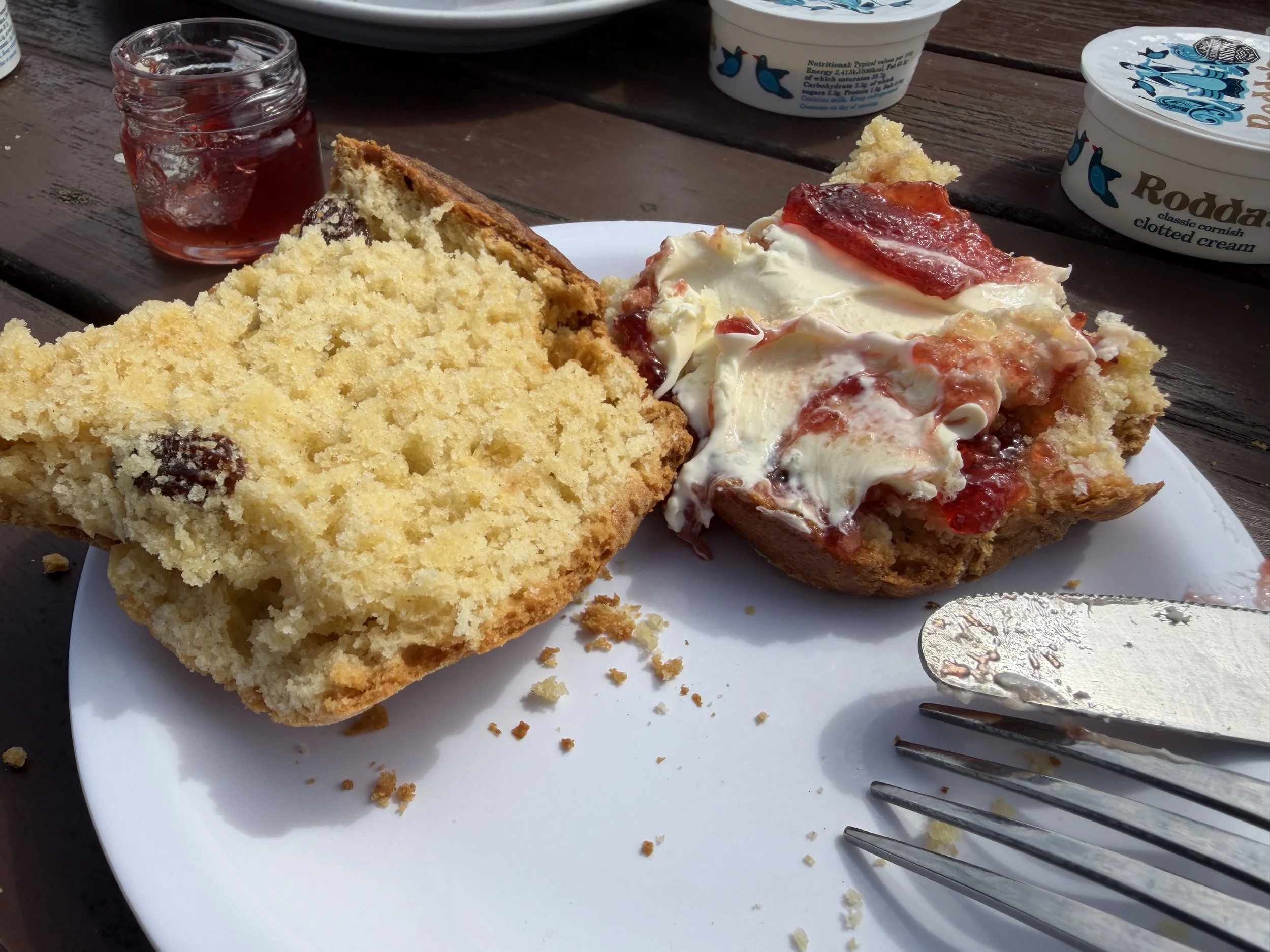
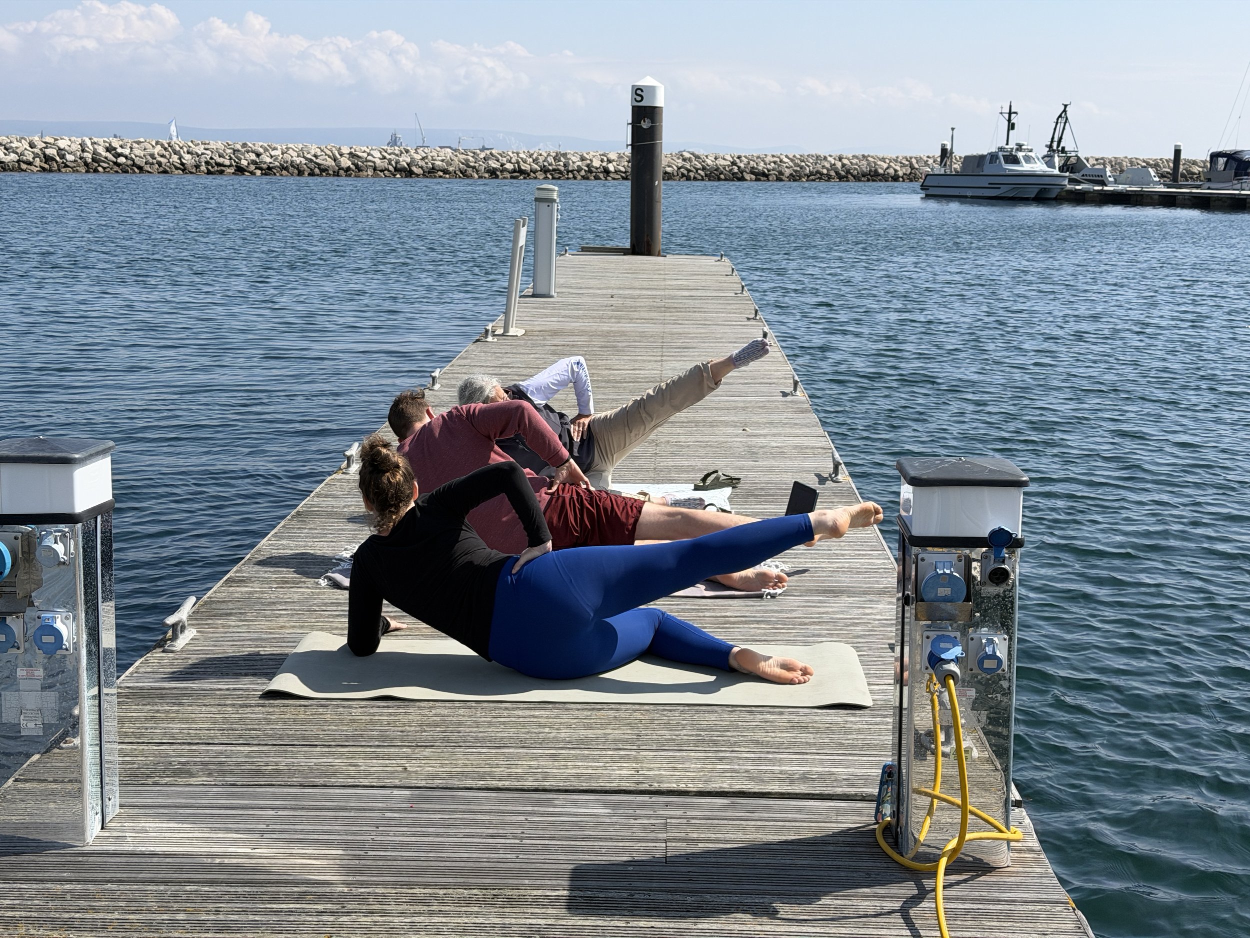
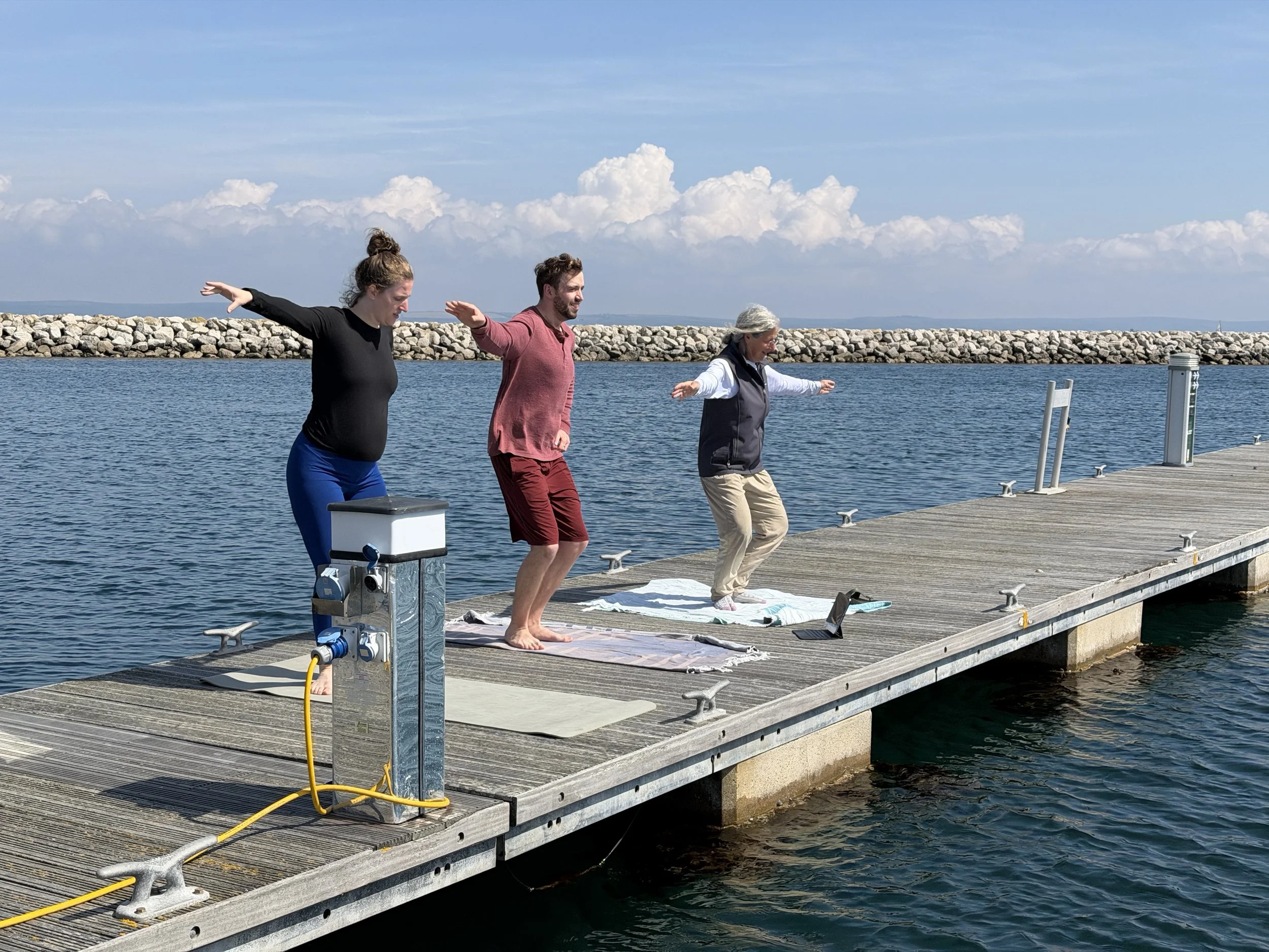
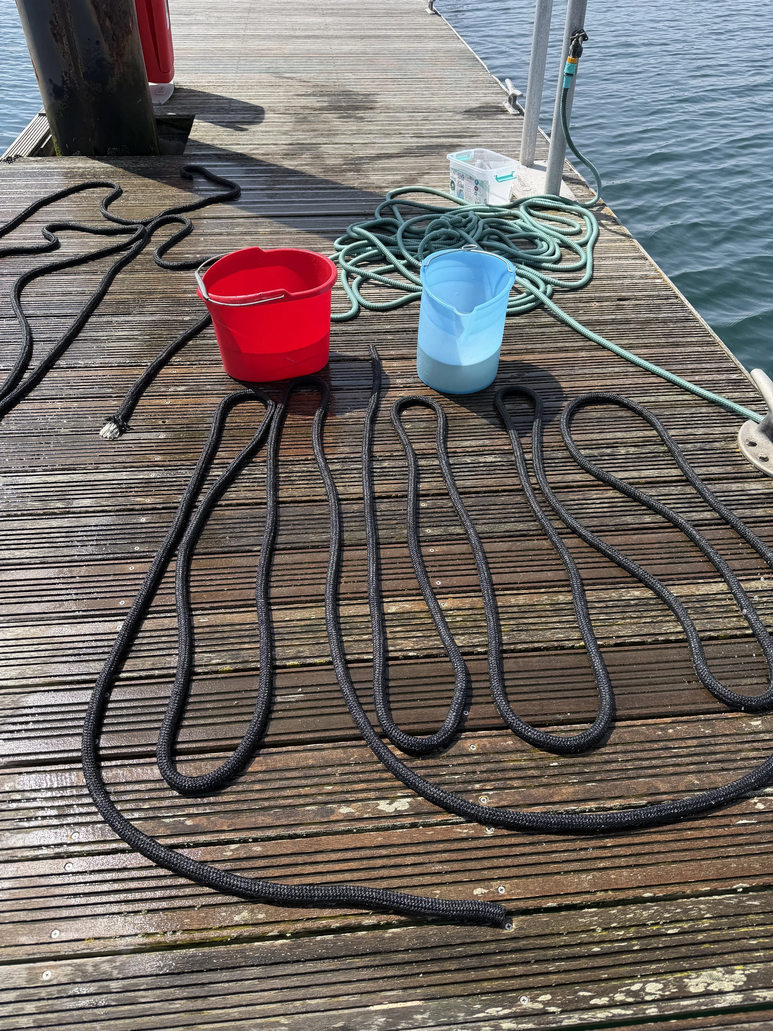
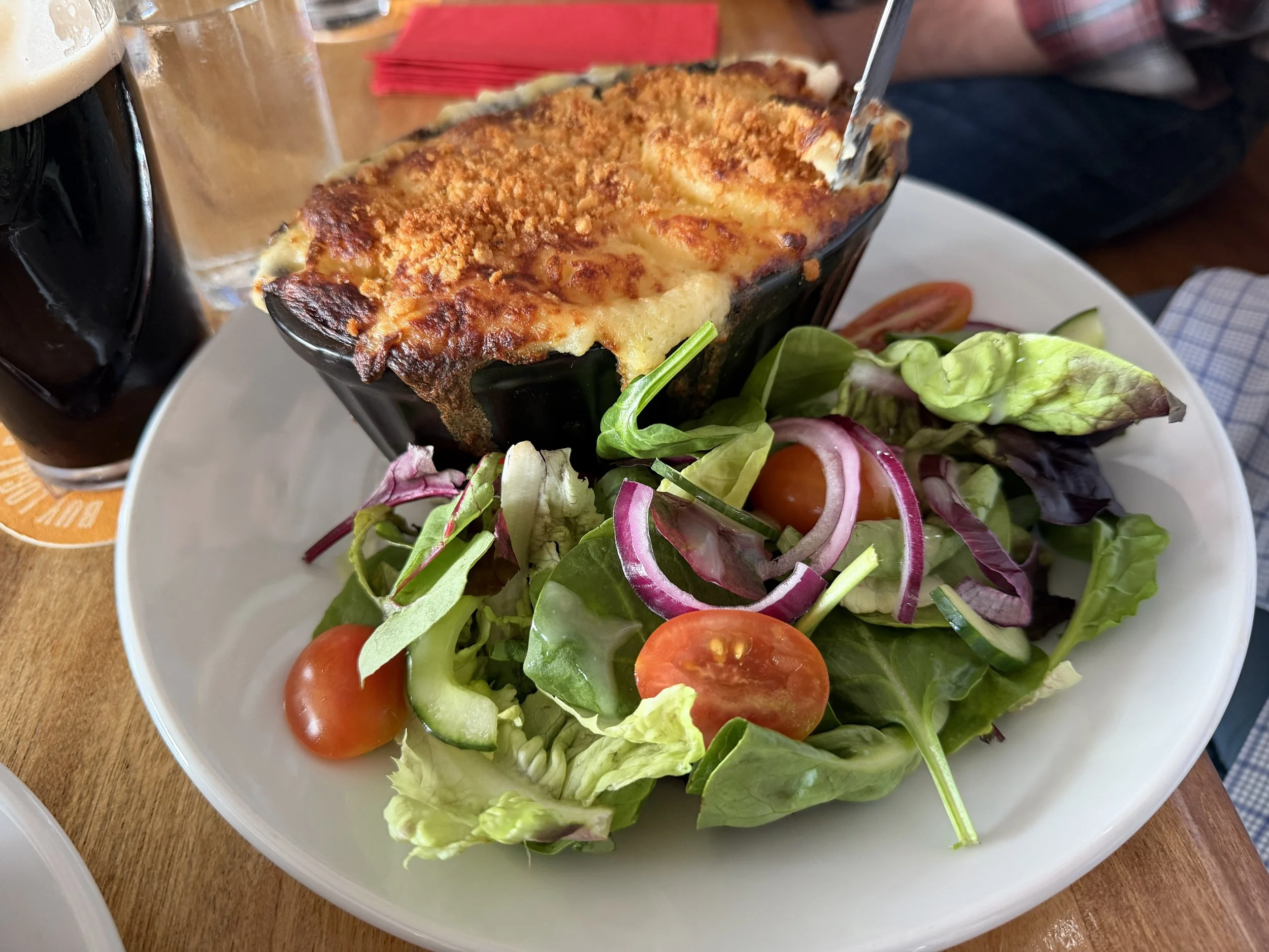
We enjoyed an afternoon cream tea at the lighthouse before returning to Meraki. Our final day together passed leisurely with a gentle workout on the dock, a quick swabbing of the decks and soaking the salt out of the lines. We walked to the iconic Cove House Inn for some pub grub that evening, enjoying fish pie overlooking the sea.
All too soon the kids were gone. Already we’re looking forward to doing it again - new places to explore in an entirely new location.
Note: photo captions will not appear if viewing on a cell phone.