

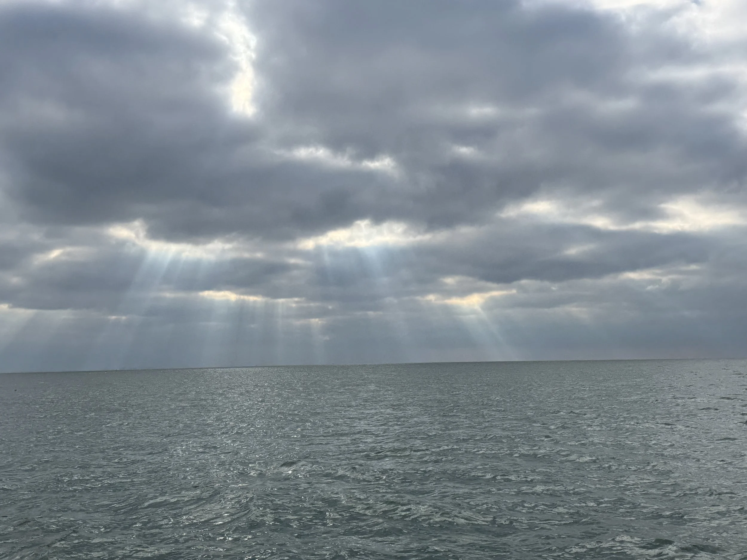
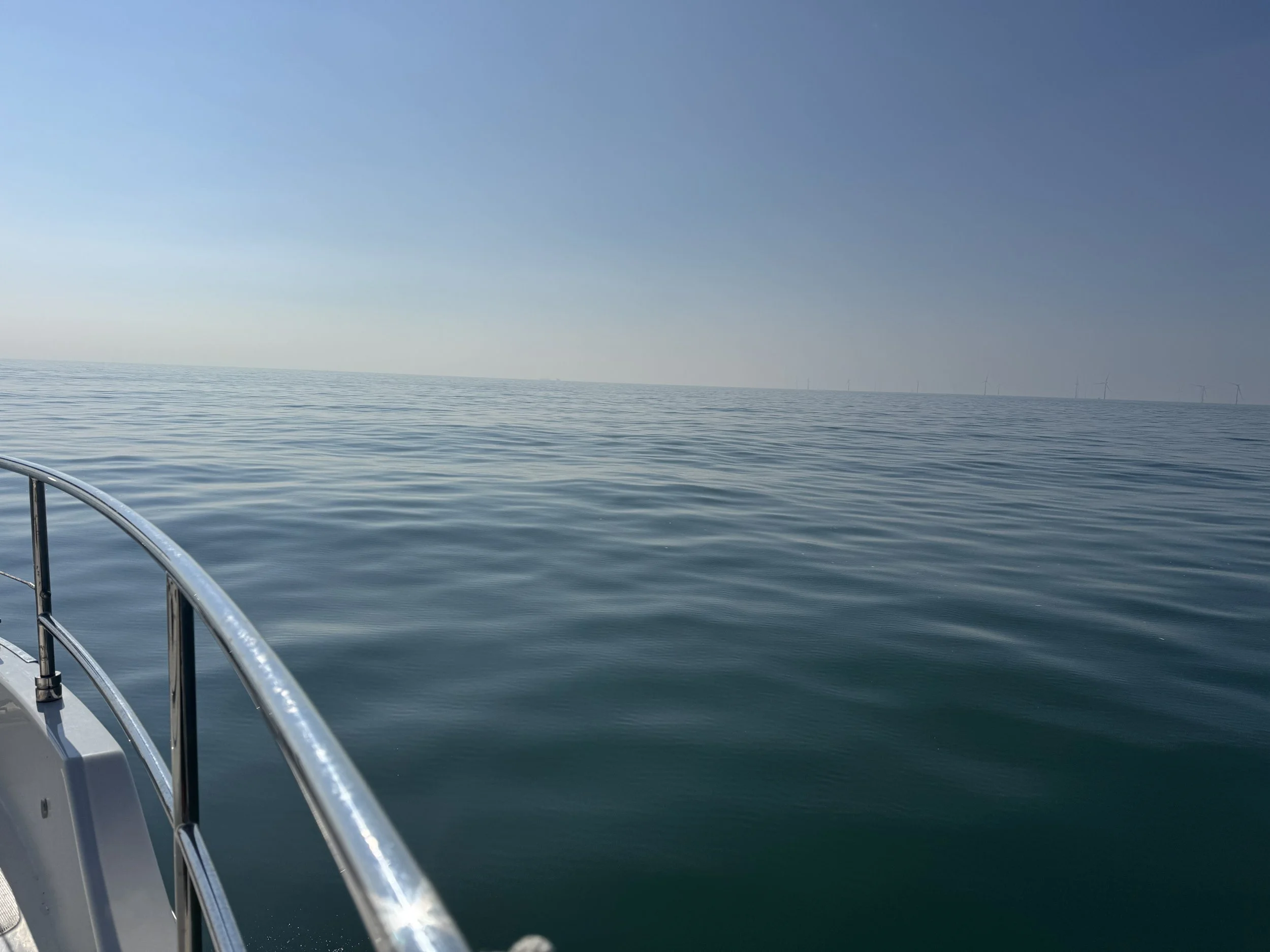
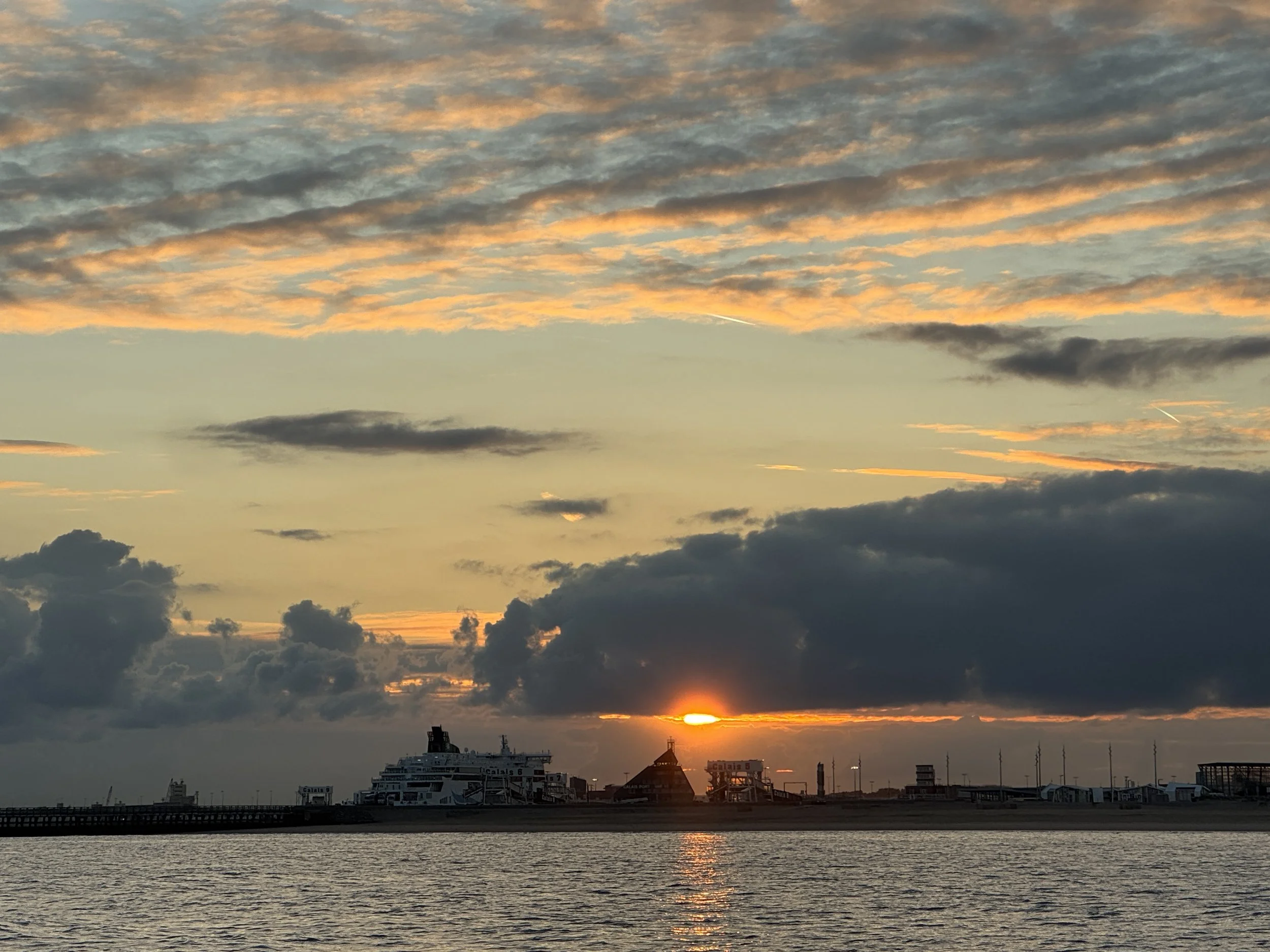
Ideal Cruising Conditions
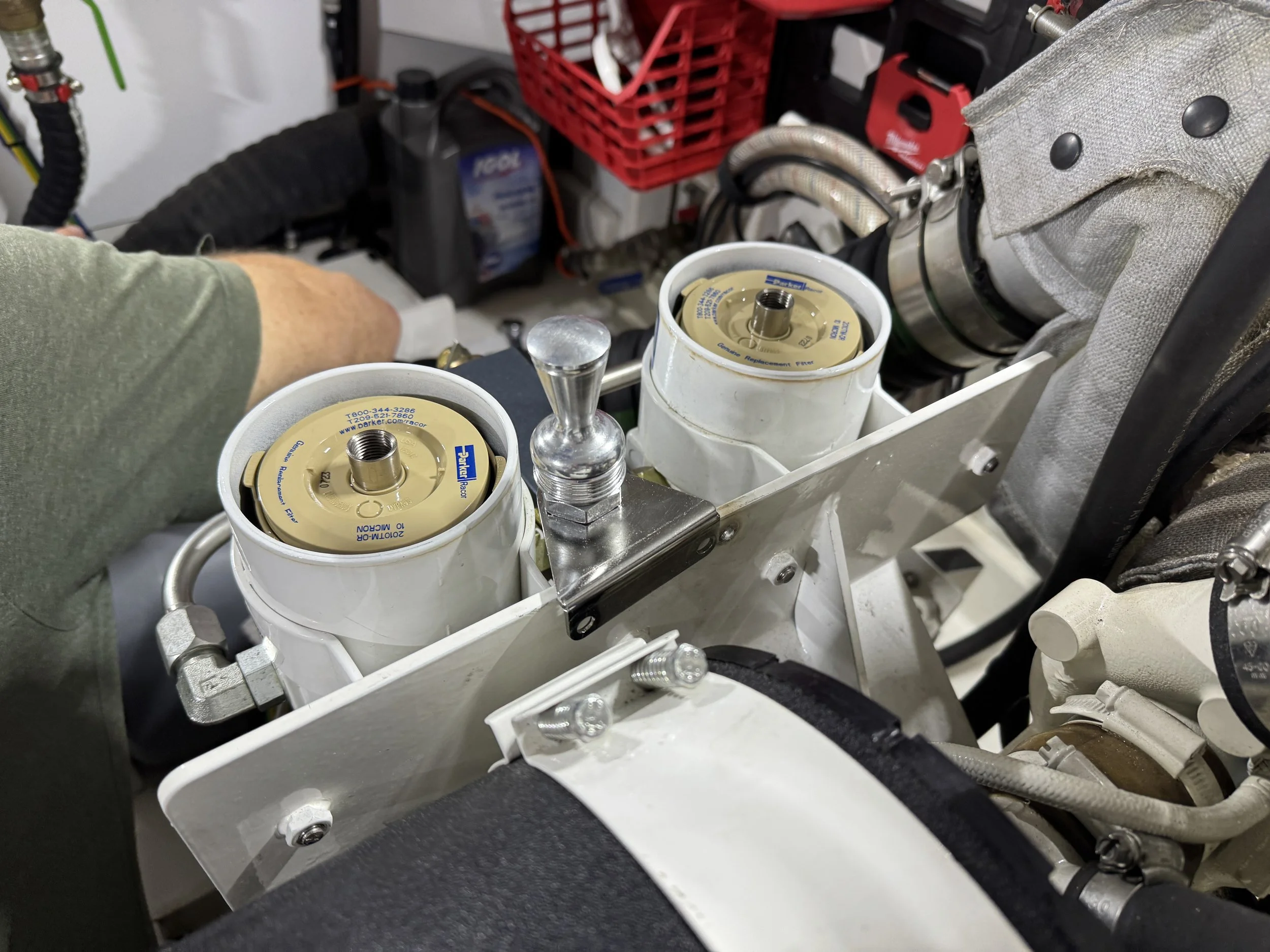
Tom spent the better part of the day in the engine room dismantling the port engine; fuel filter, lines, pressure gauges as well as investigating the day tank and all the fittings leading to the engine. He cleaned everything and together we used our air compressor to blow out all the fuel lines. There was nothing definitive determined when it as all said and done, all we could do was hope it would continue to run smoothly.
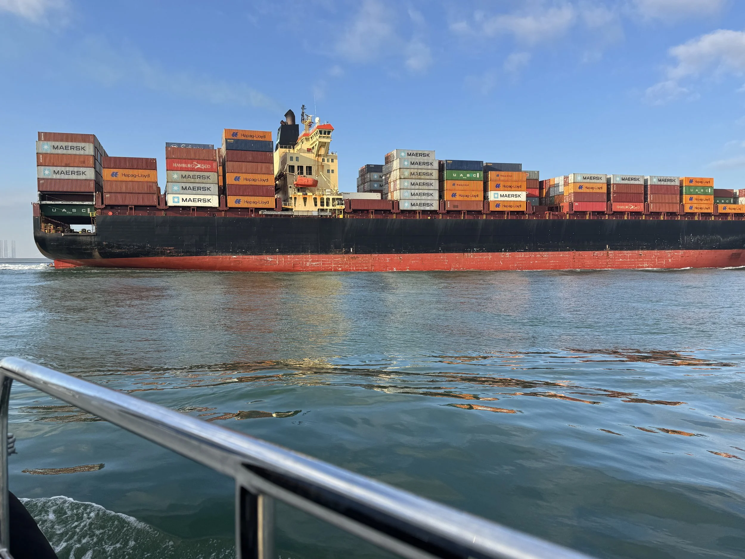
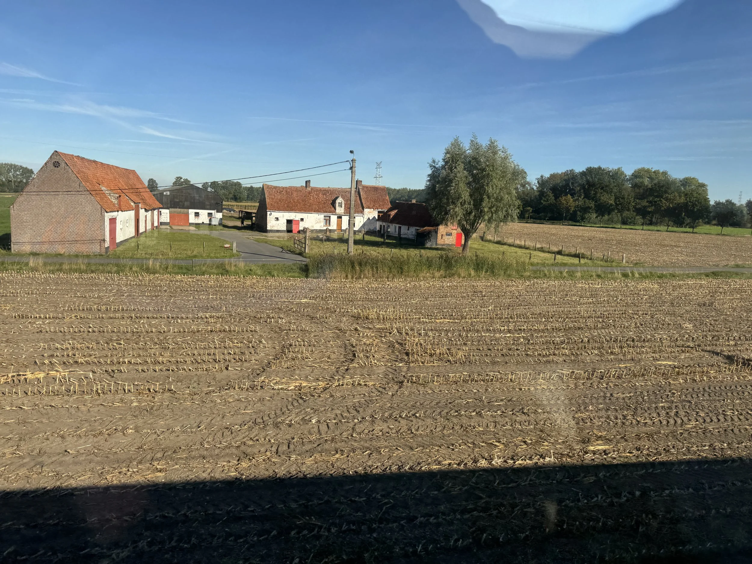
It looked as though we had nearly a full week of good boating weather ahead so we left Amsterdam Marina, stopping at the fuel barge for 1000 liters of diesel, before continuing out the IJmuiden North Sea Canal Lock and south down the coast. We quite literally had to dodge a bunch of cargo ships when we got to Rotterdam. One of the key players in global trade, with an extensive network of shipping routes that connects it to major ports across the world, Rotterdam is a crucial link between Europe, Asia, Africa and the Americas. These cargo ships enter and exit the port with great frequency at speeds 4 and 5 times as fast as we can travel with a strong current at our back! It was like an intense game of dodgeball - where we were the ball!
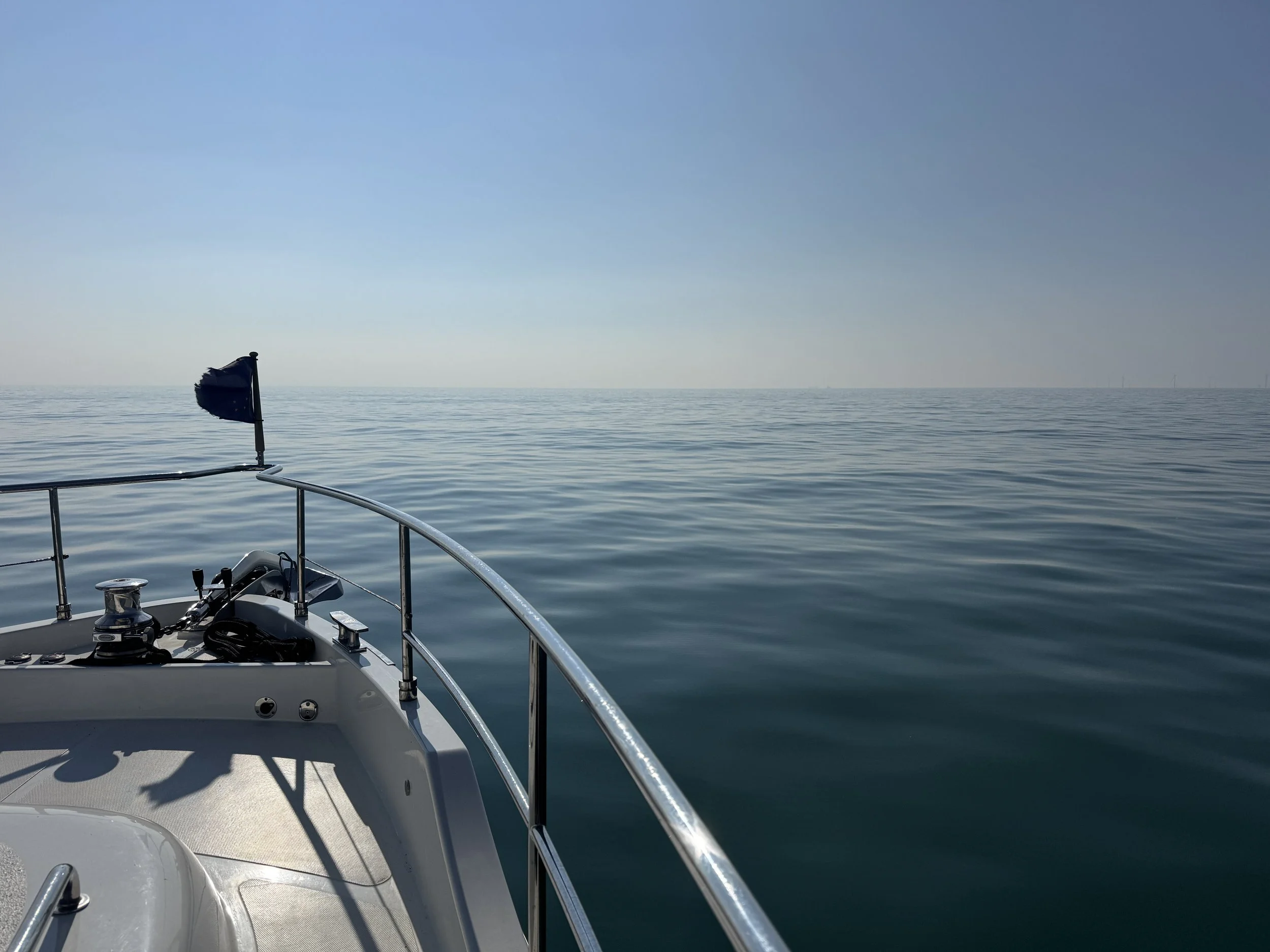
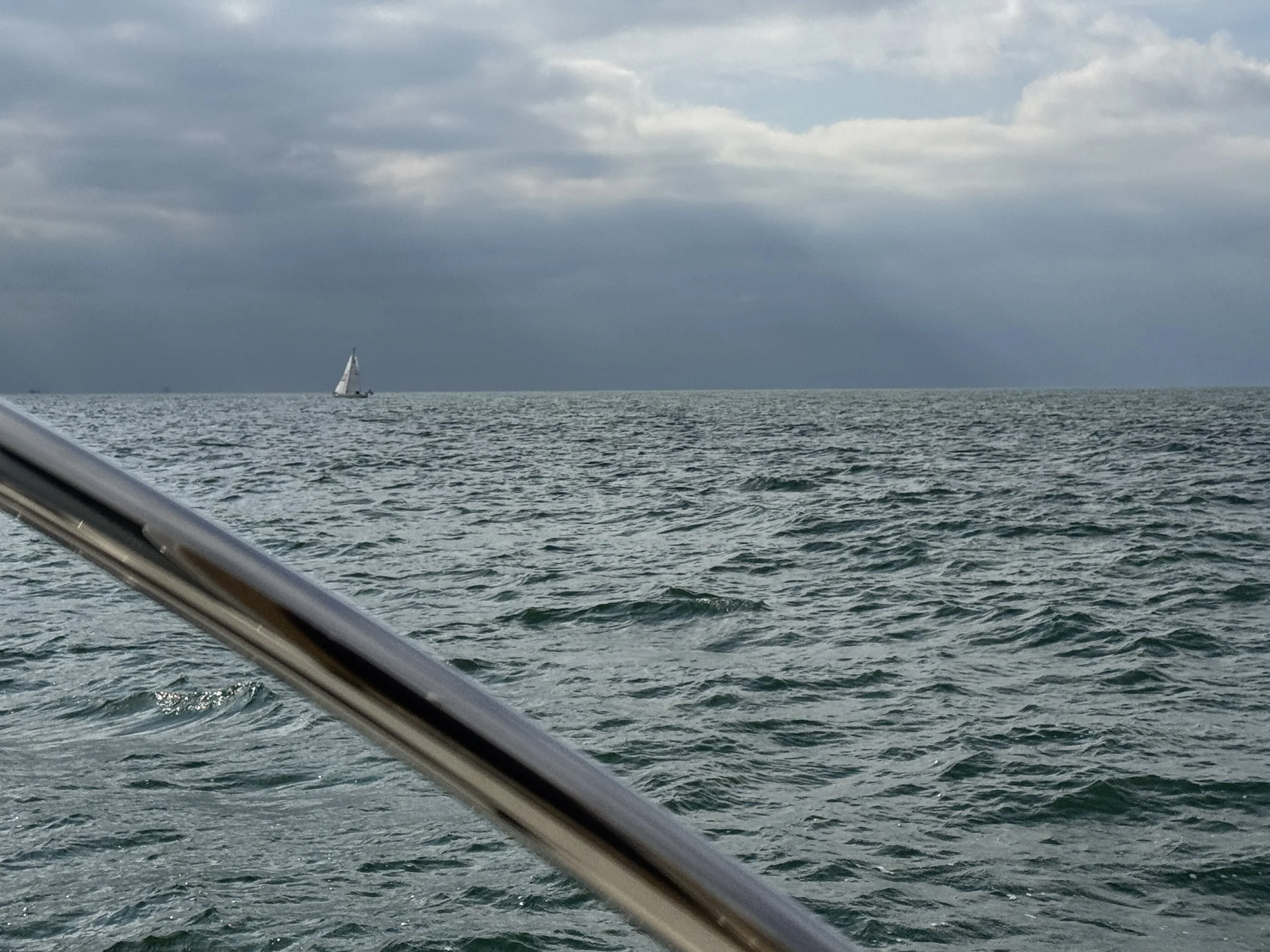
Sailors hate these conditions…
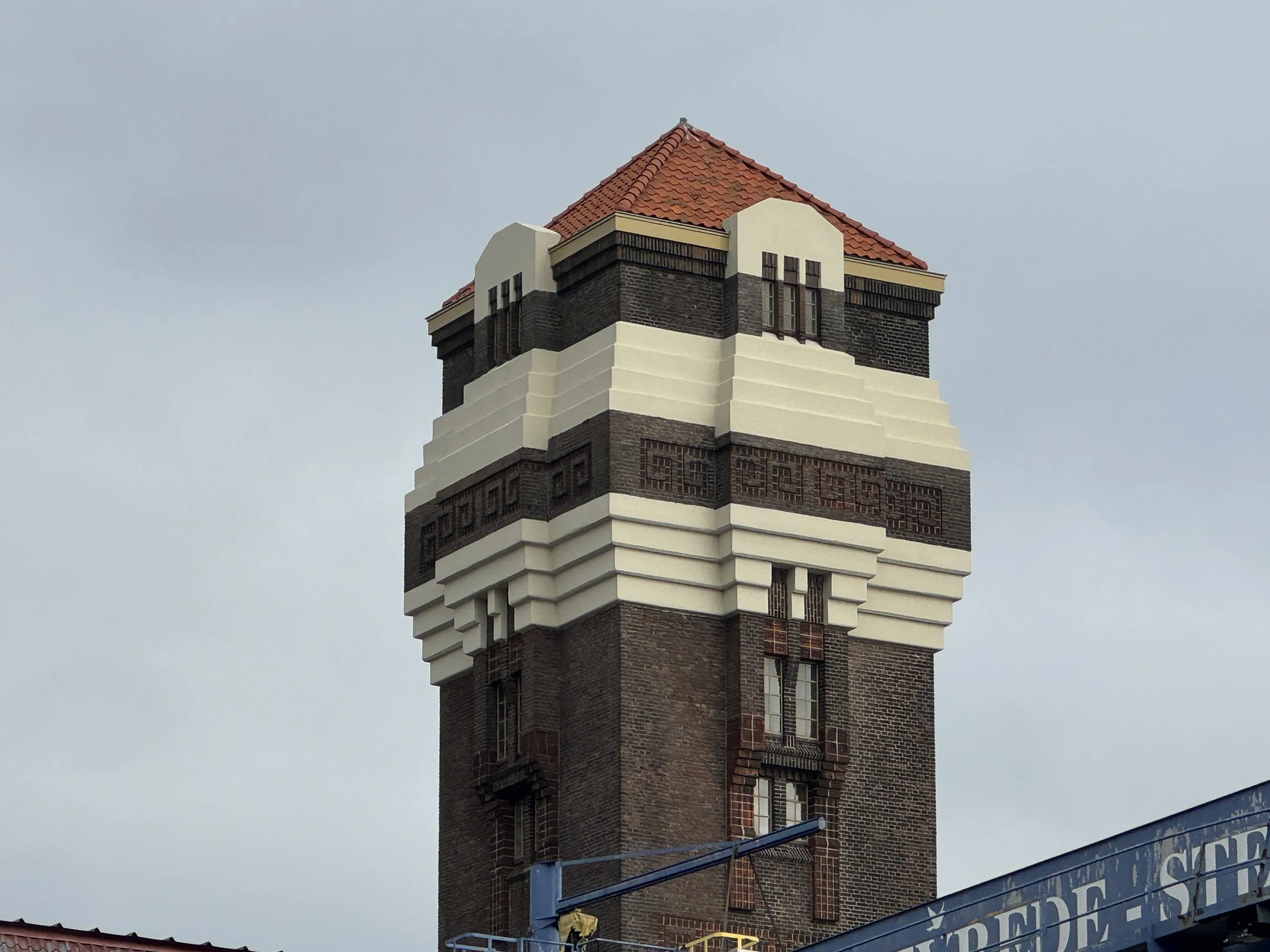
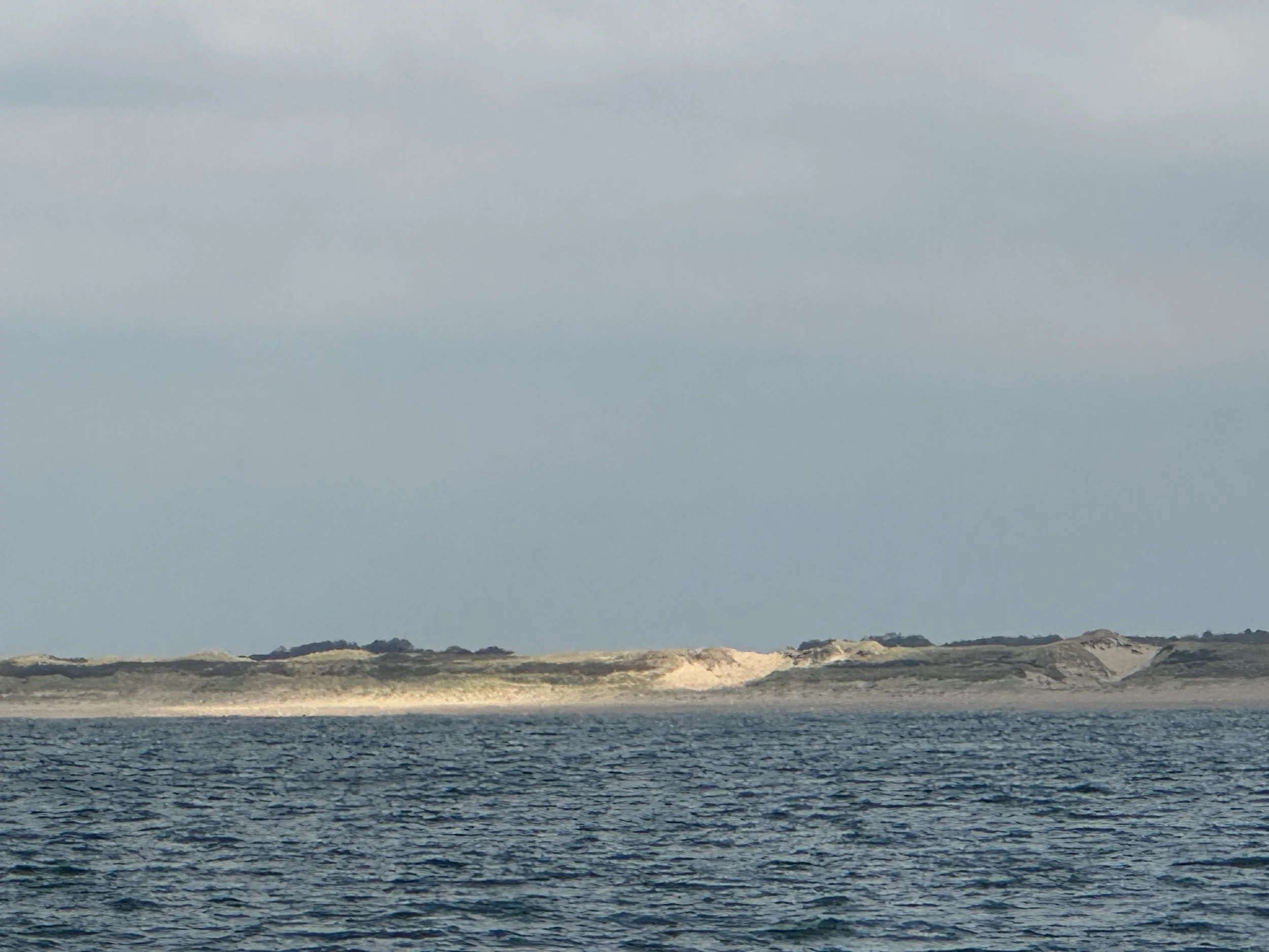
The seas were like glass and I was beyond grateful for the perfect cruising conditions. We spent our first night at The Hague (Den Haag), the political center of the Netherlands. I read that it offers a variety of cultural institutions and museums and there is an abundance of restaurants and bars in addition to it being known as the international city of peace and justice. Sadly, we did not take the time to explore, choosing instead to spend a few days in Belgium which we had missed on our passage north. We stayed in a place called Scheveningen that has a coastline sprinkled with sand dunes, a large beach and a wide promenade along the shore. The beach’s pier apparently has a 60-meter (196ft) high bungee jump and a 40-meter (131 ft) tall Ferris wheel.


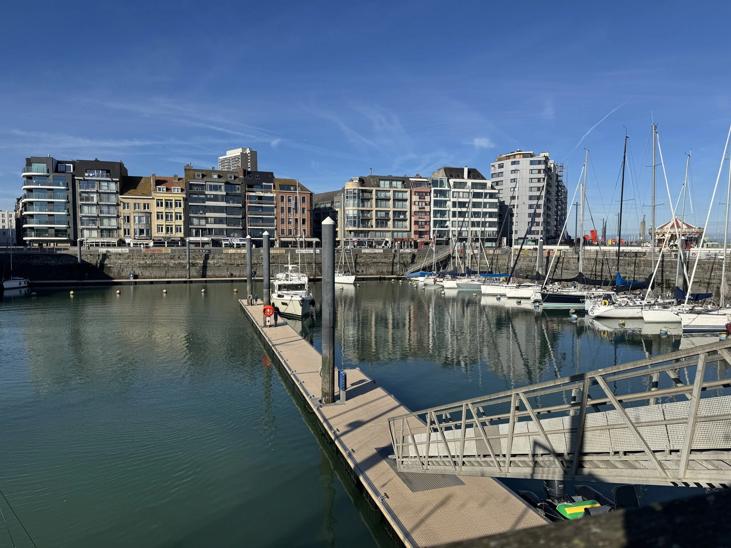
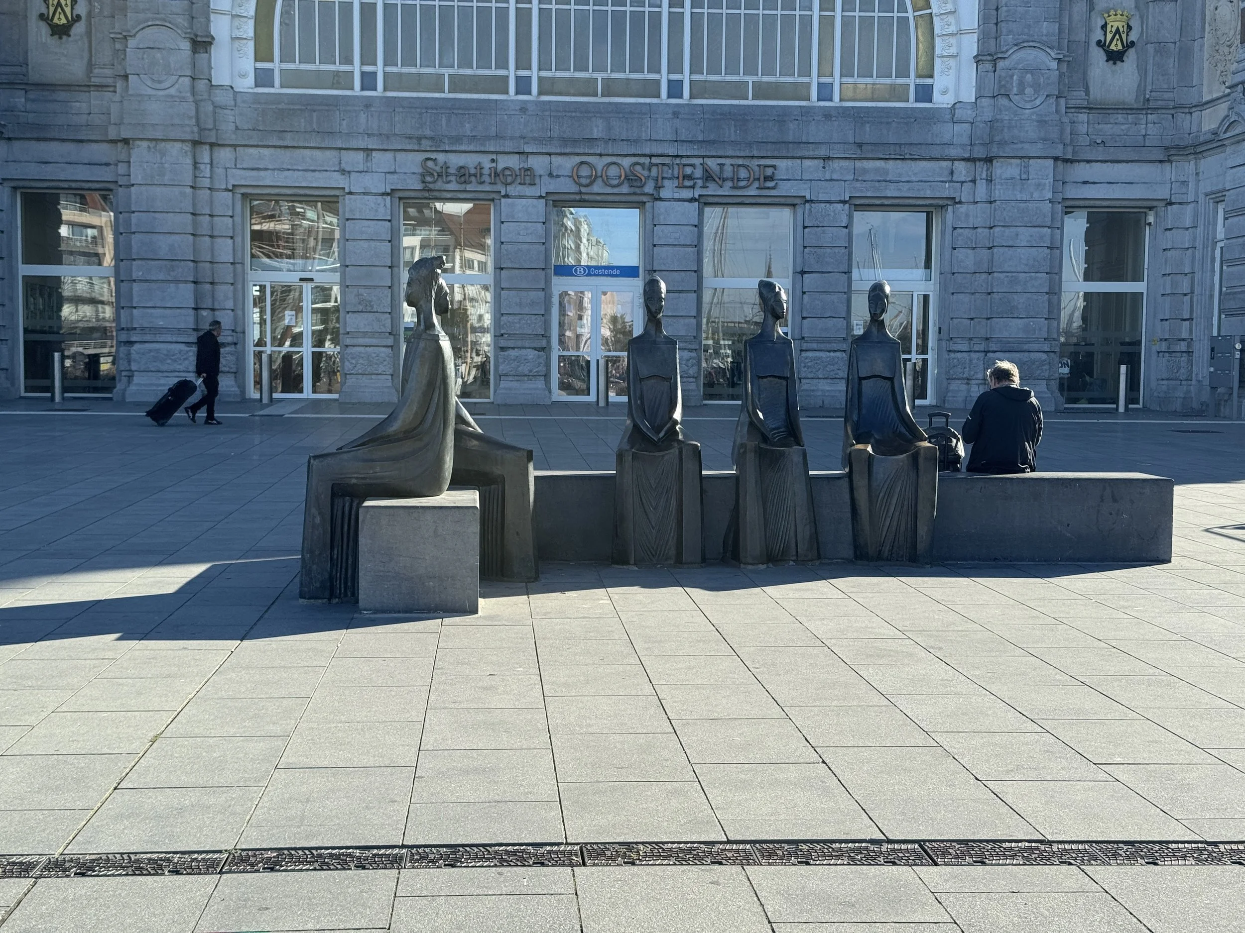
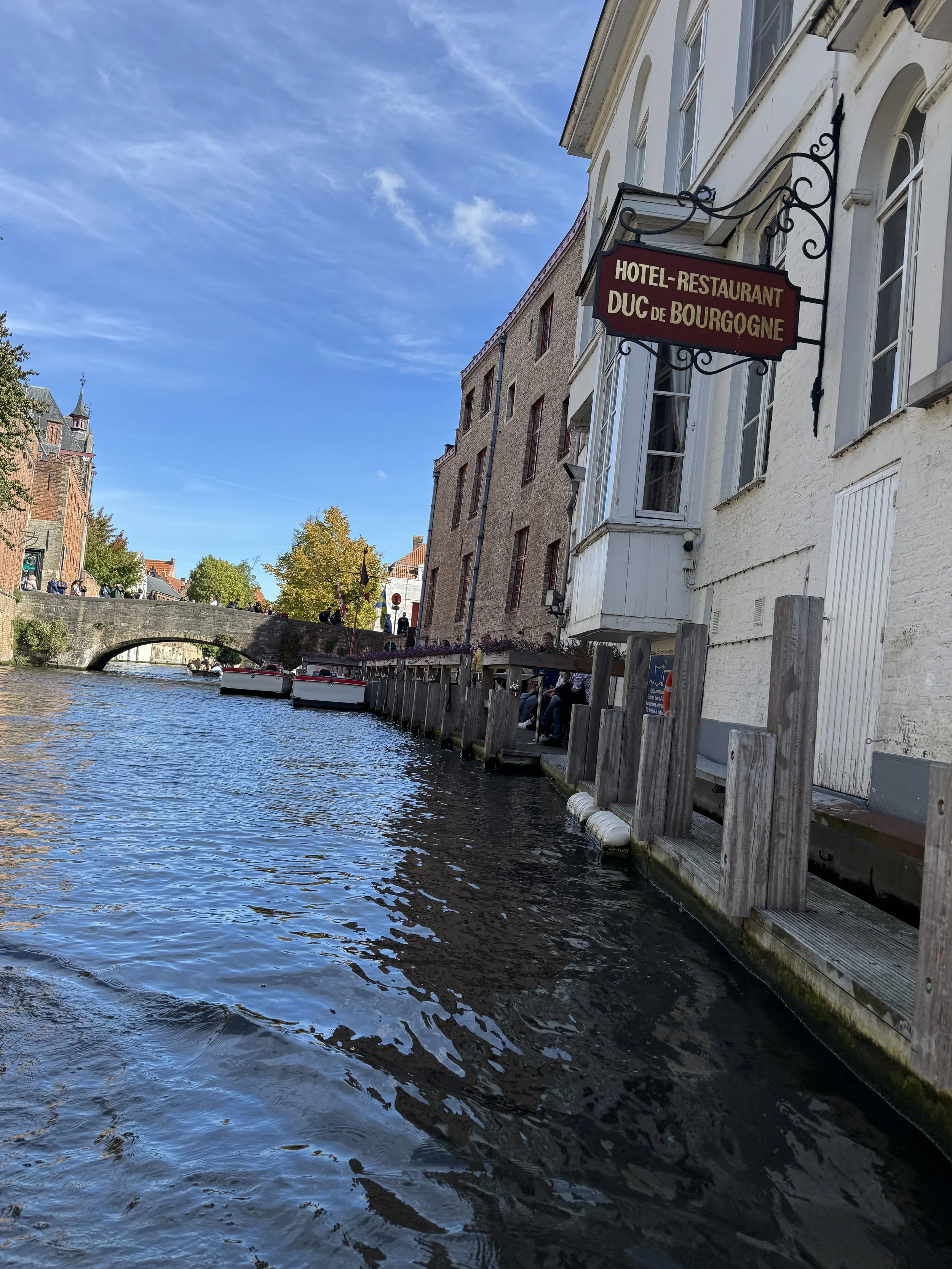
The next day we cruised down to Ostende in the province of West Flanders in the Flemish Region of Belgium. Perhaps best known as a resort town with it’s super long beach, we tied up at the marina in the heart of the resort.
For such a small country, Belgium has been a major European battleground over the centuries, and was occupied by Germany during both world wars. The post-war years brought an economic boom and it became a model Western European liberal democracy. Belgium has three official Languages; French, Dutch and German. Flemish is used by more than 60% of the population and Wallon, the local variant of French, is used by 33% of population.
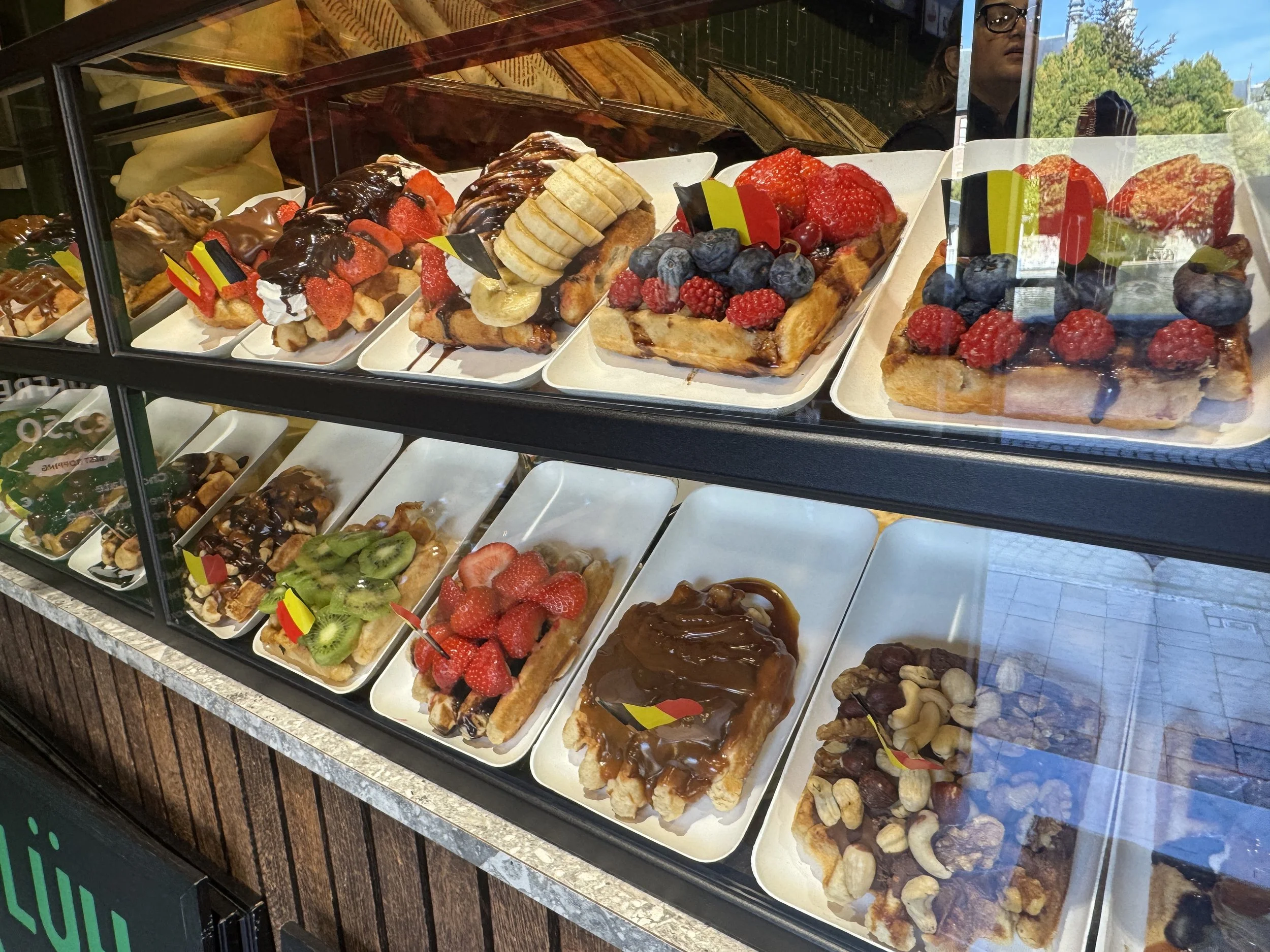
We stayed a few days soaking in the Belgian culture, sampling the chocolate and the waffles and experimenting with the beer, of course.

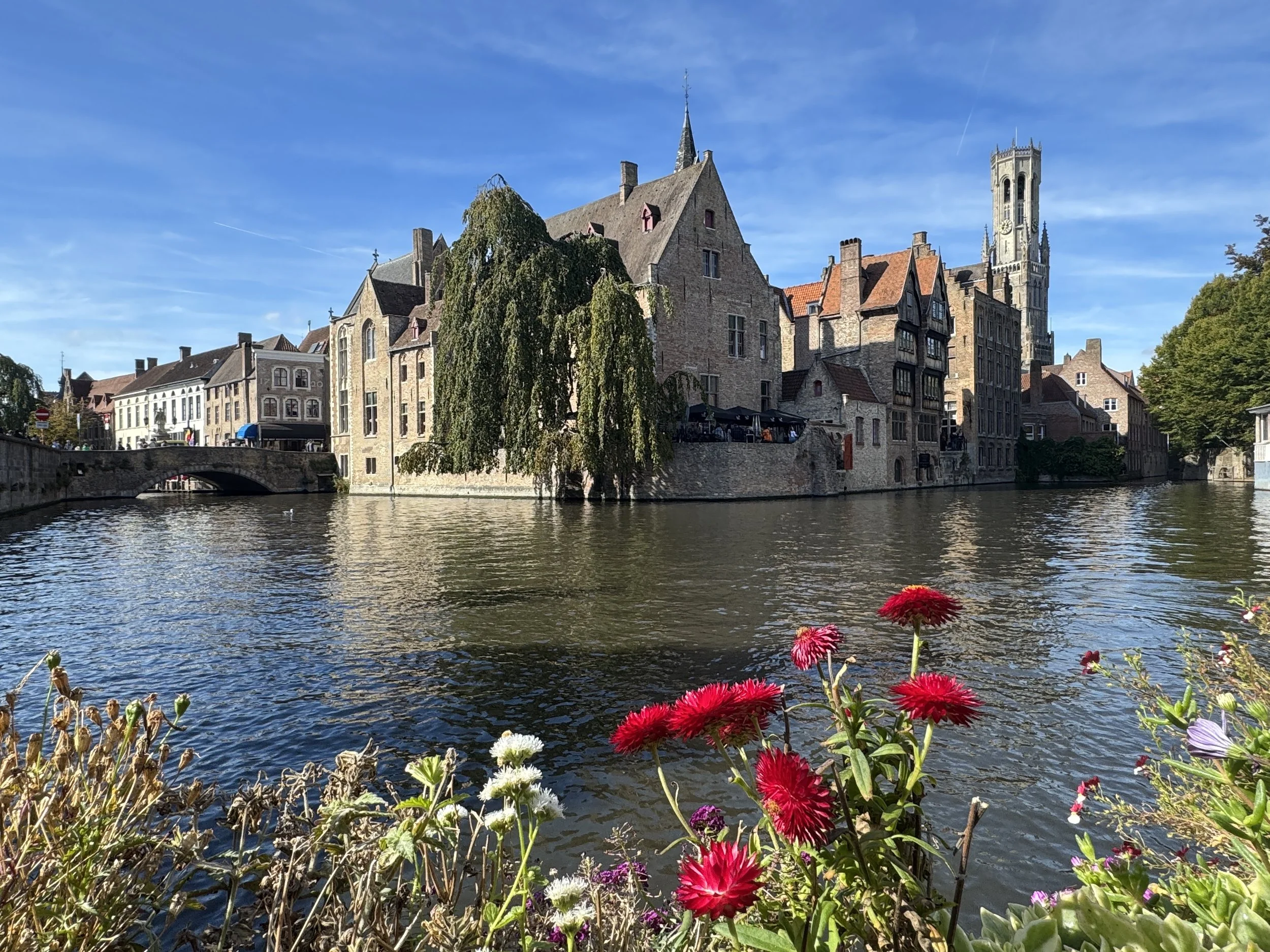
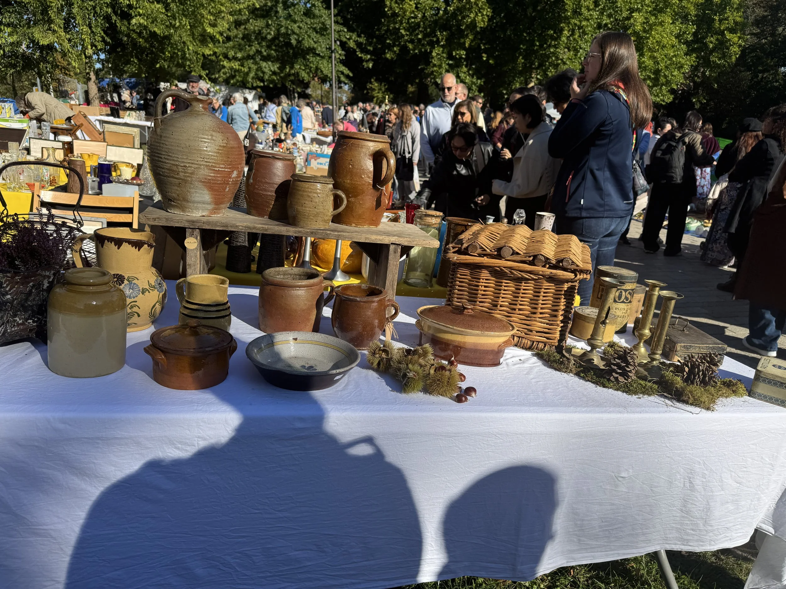
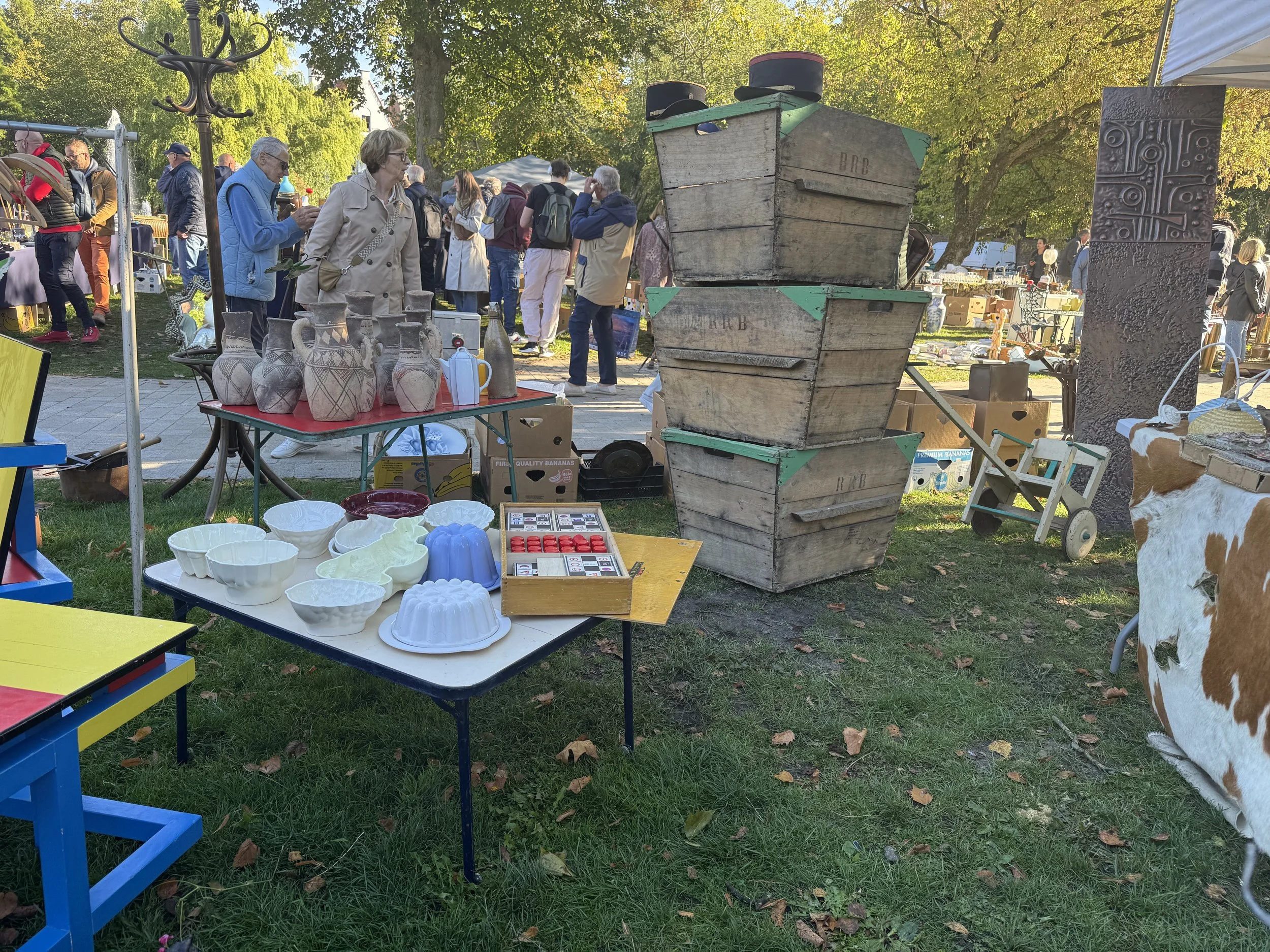
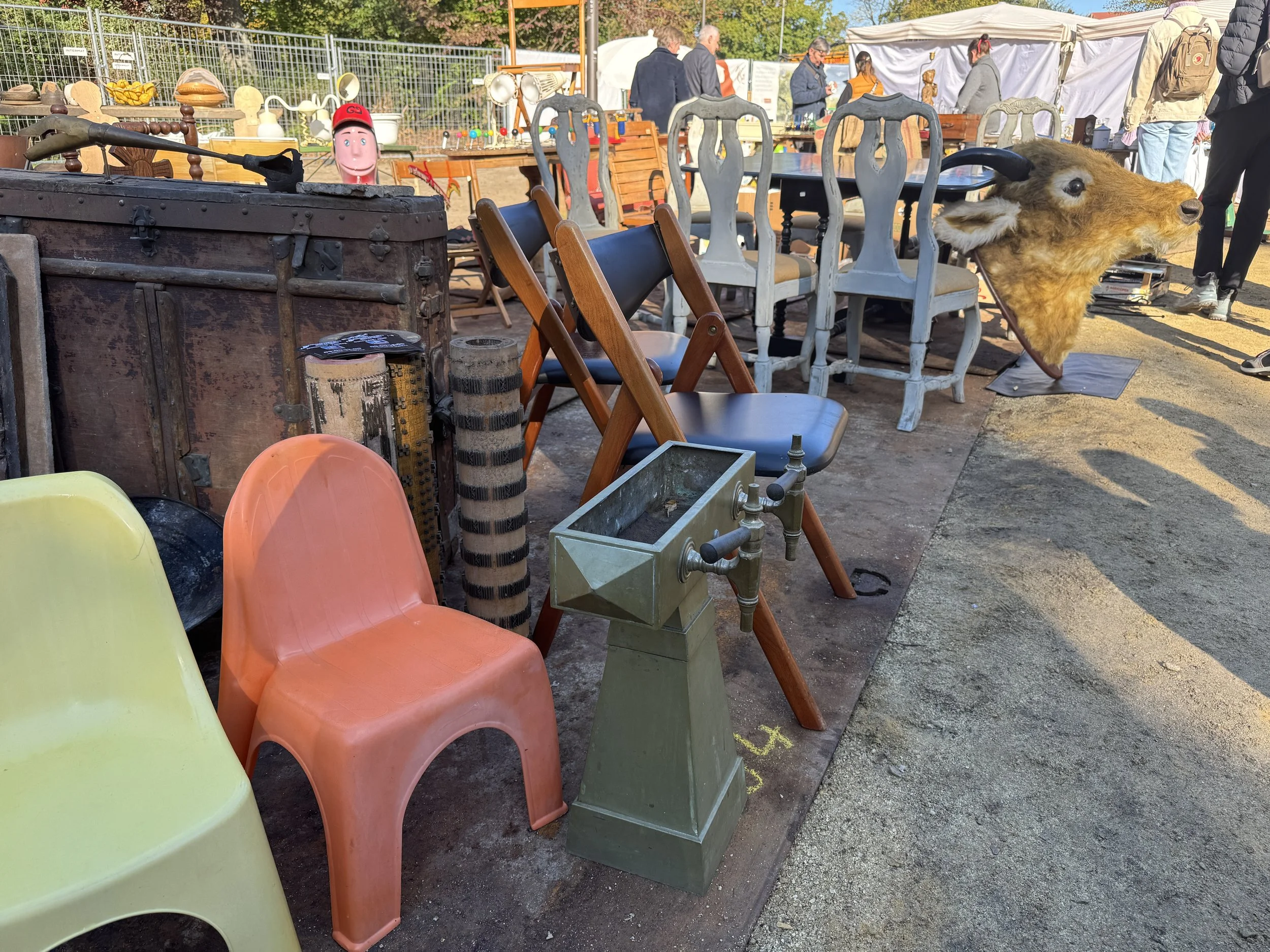
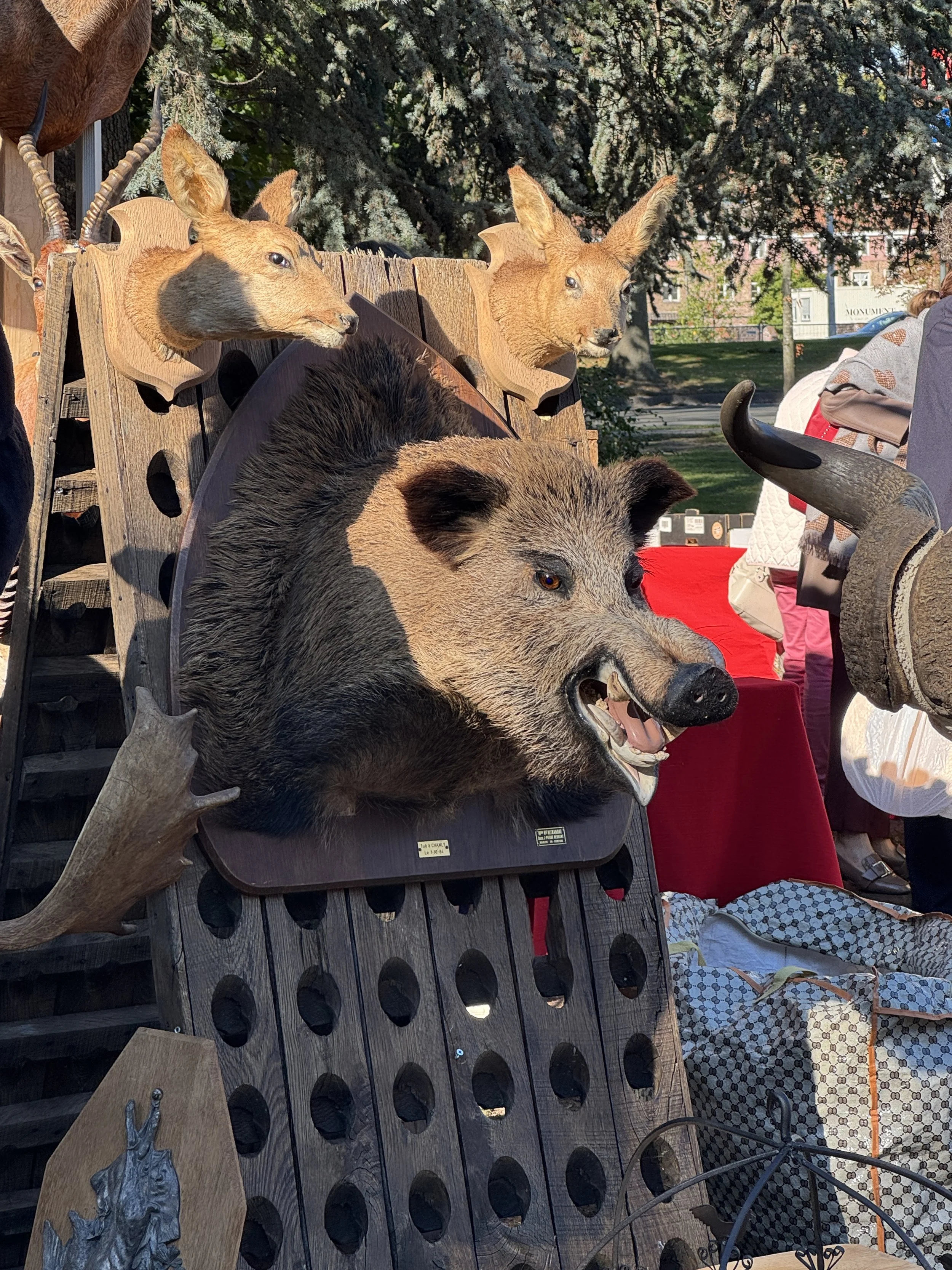
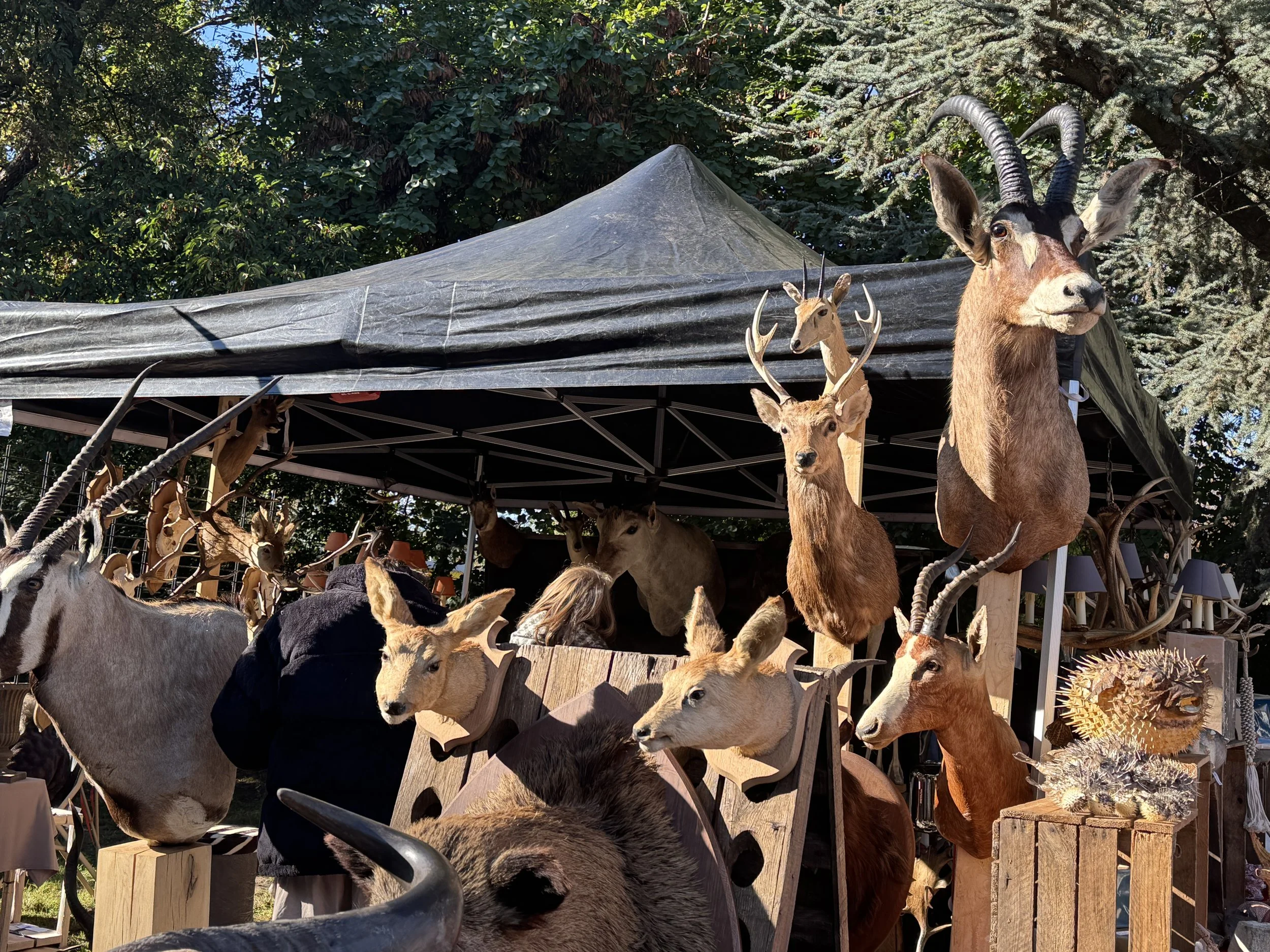
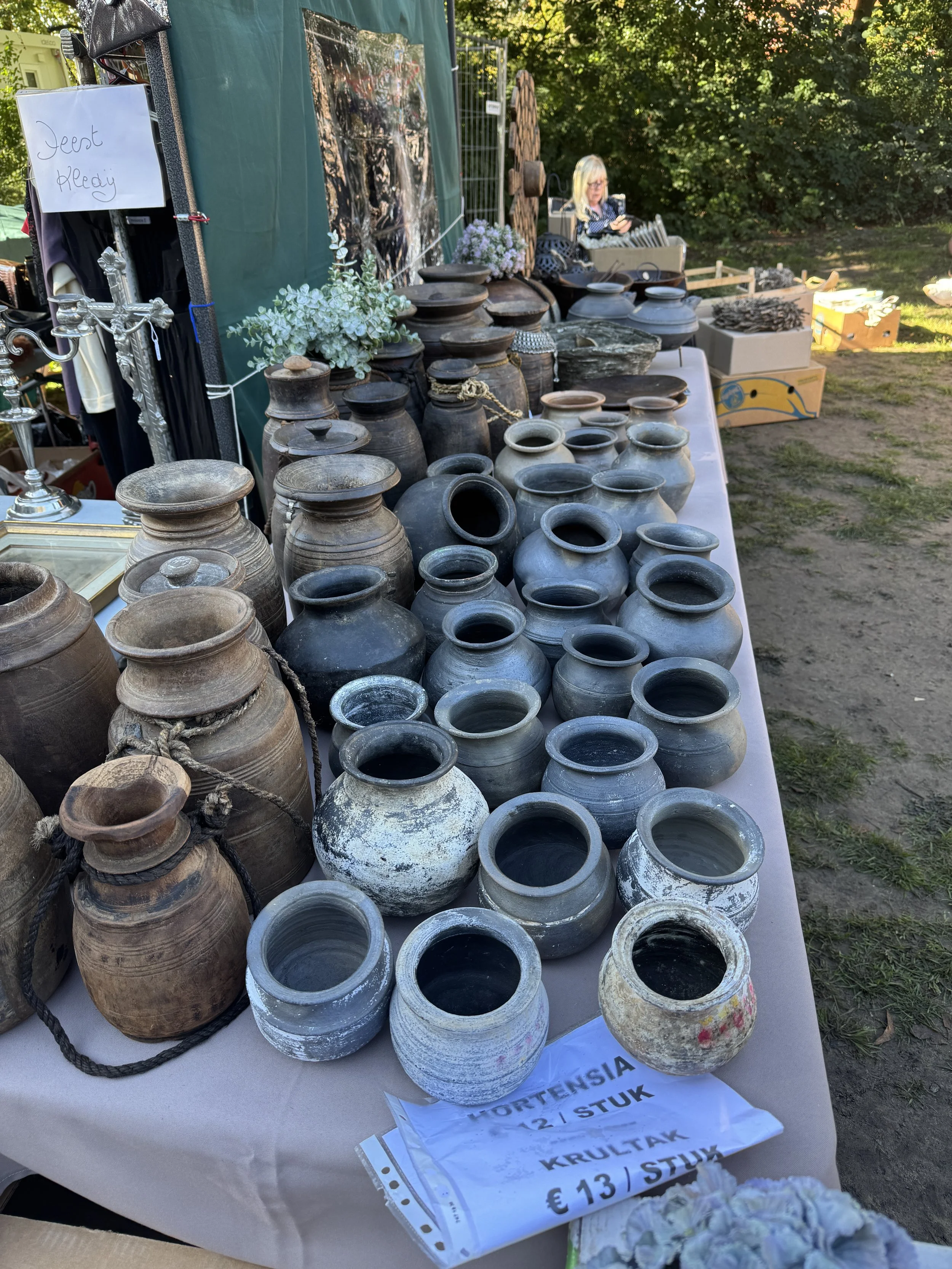
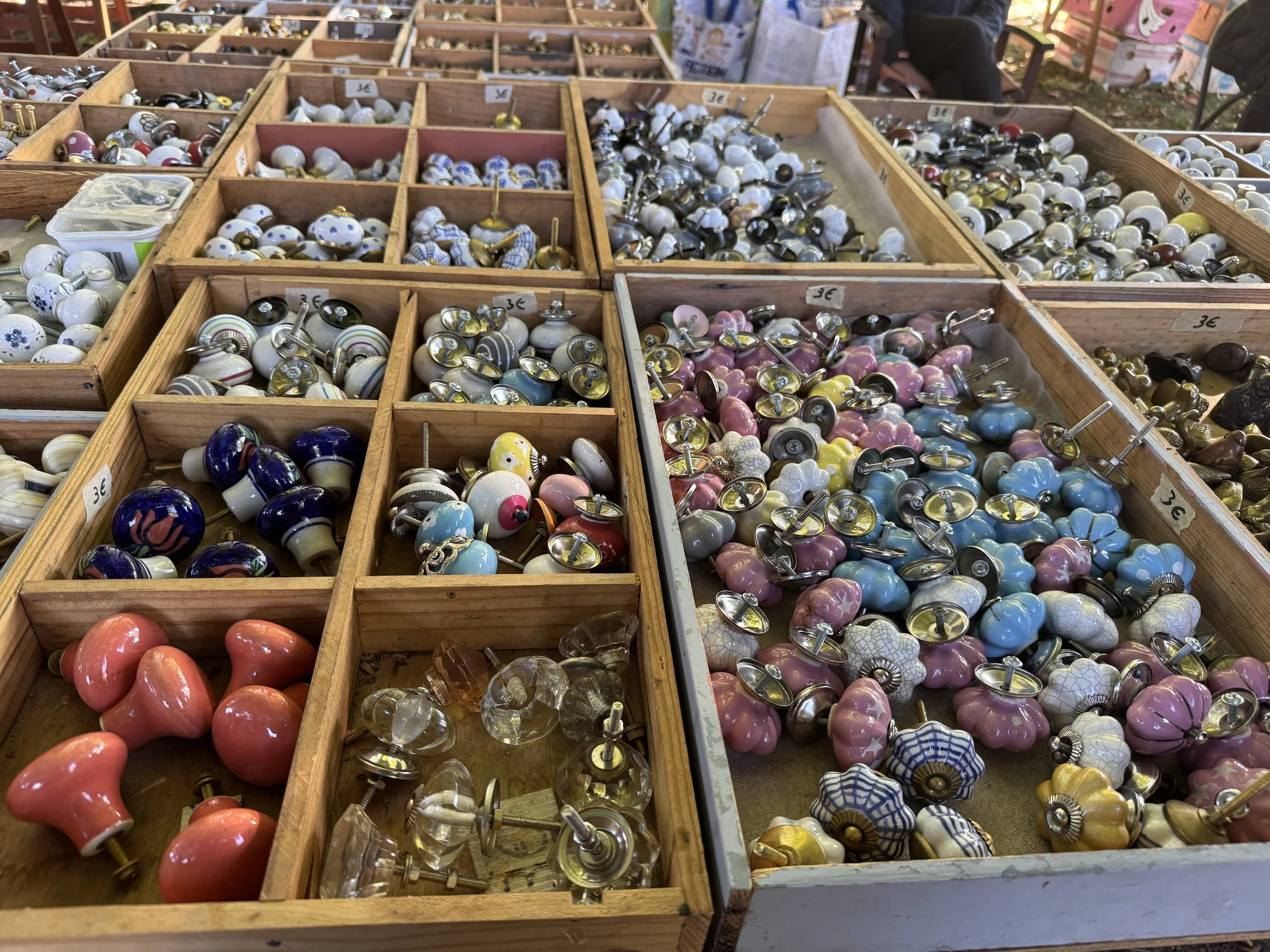
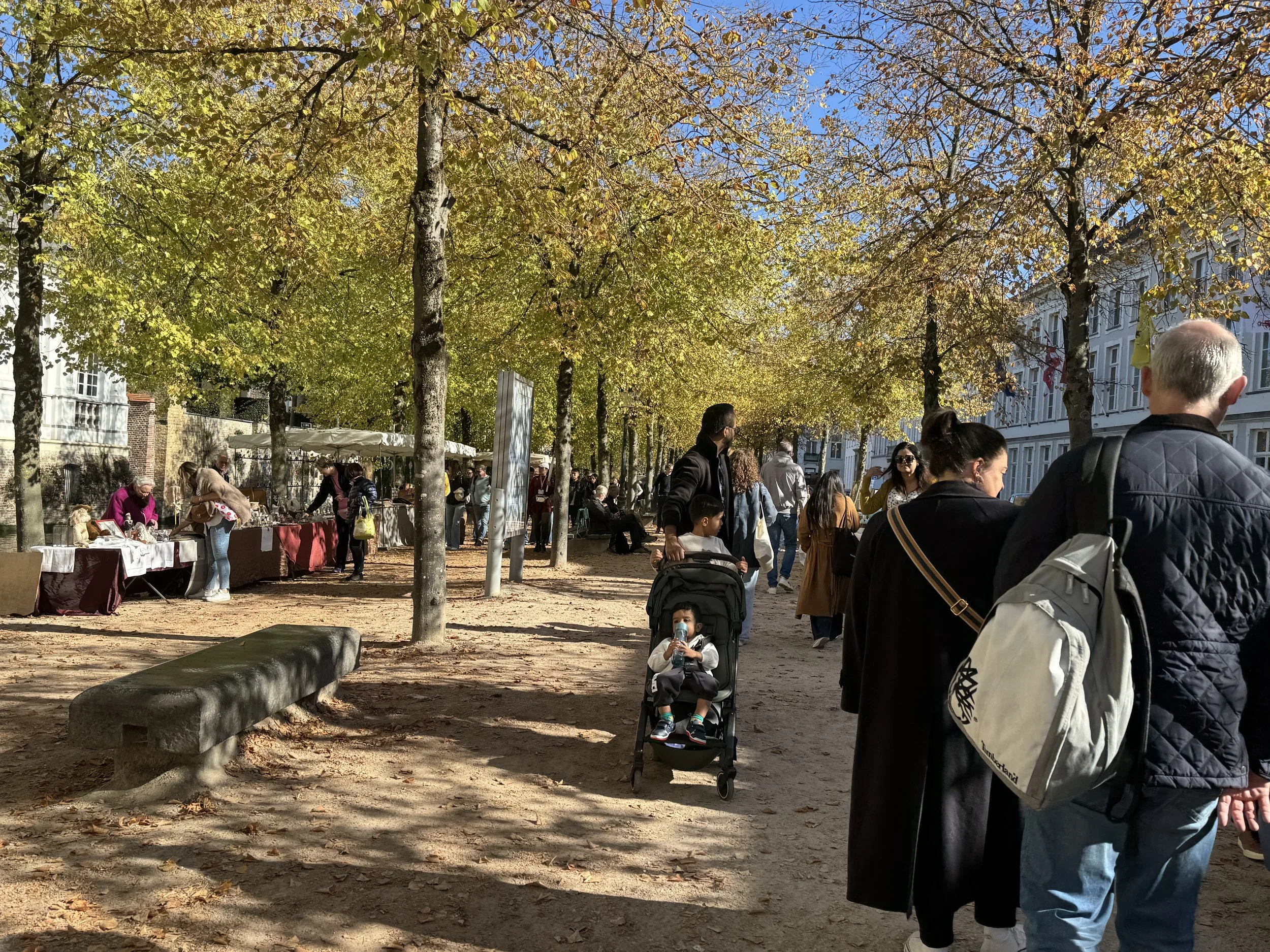
We took the train into Bruges - a short 15 minute ride, and immediately upon disembarking the train we found ourselves in what appeared to be a giant flea market. We discovered we’d wandered into Zandfeestan, one of the largest and most anticipated antique fairs in Belgium! Spanning a couple of miles in the vicinity of the central train station, three times a year over 200 venders gather to create this offbeat marketplace brimming with antique treasures, clothing, books, furniture, memorabilia and some truly bizarre curiosities. We were somewhat overwhelmed by the throng of people and the oddities that surrounded us.


“In the market-place of Bruges stands the belfry old and brown;
Thrice consumed and thrice rebuilded, still it watches o’er the town.”
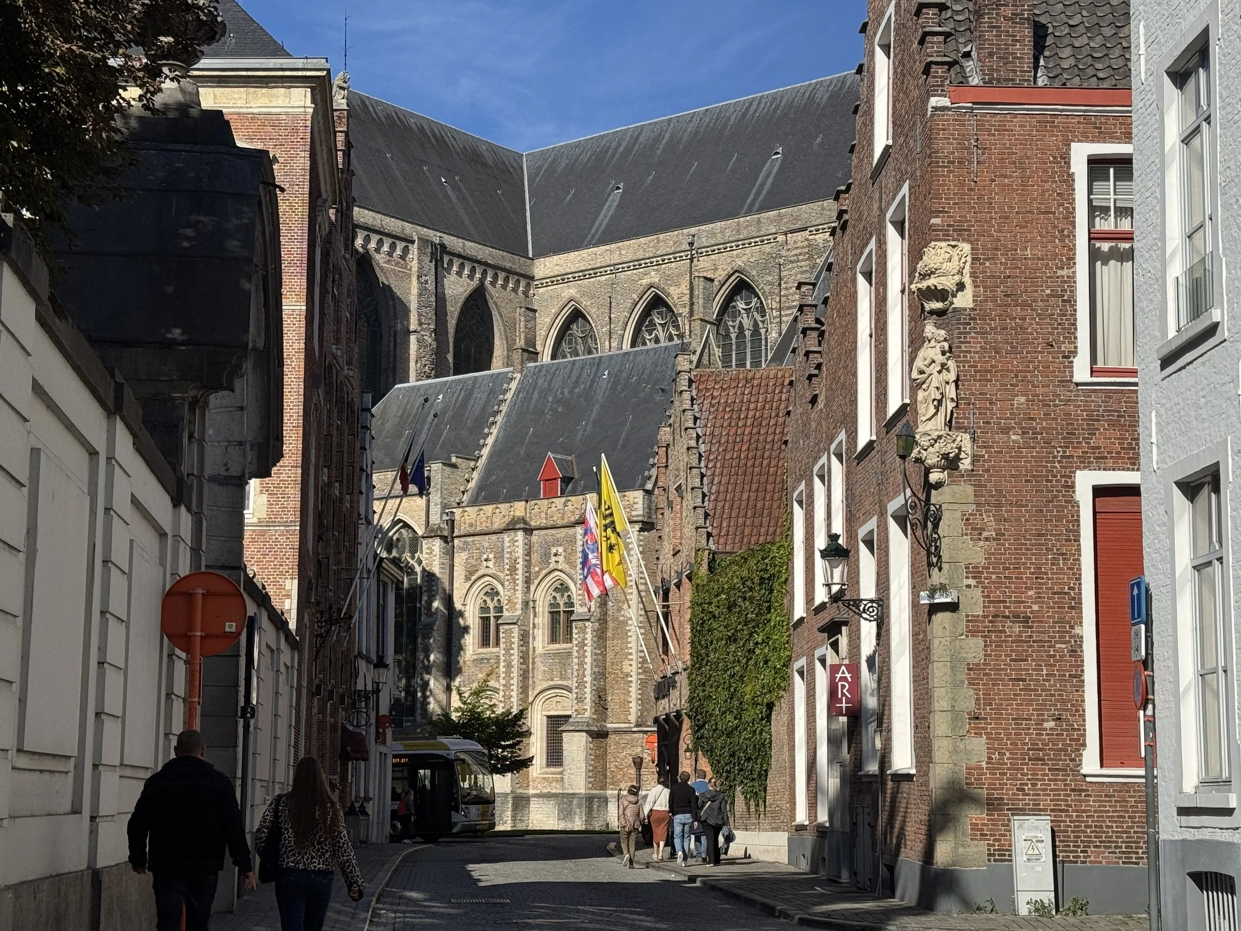
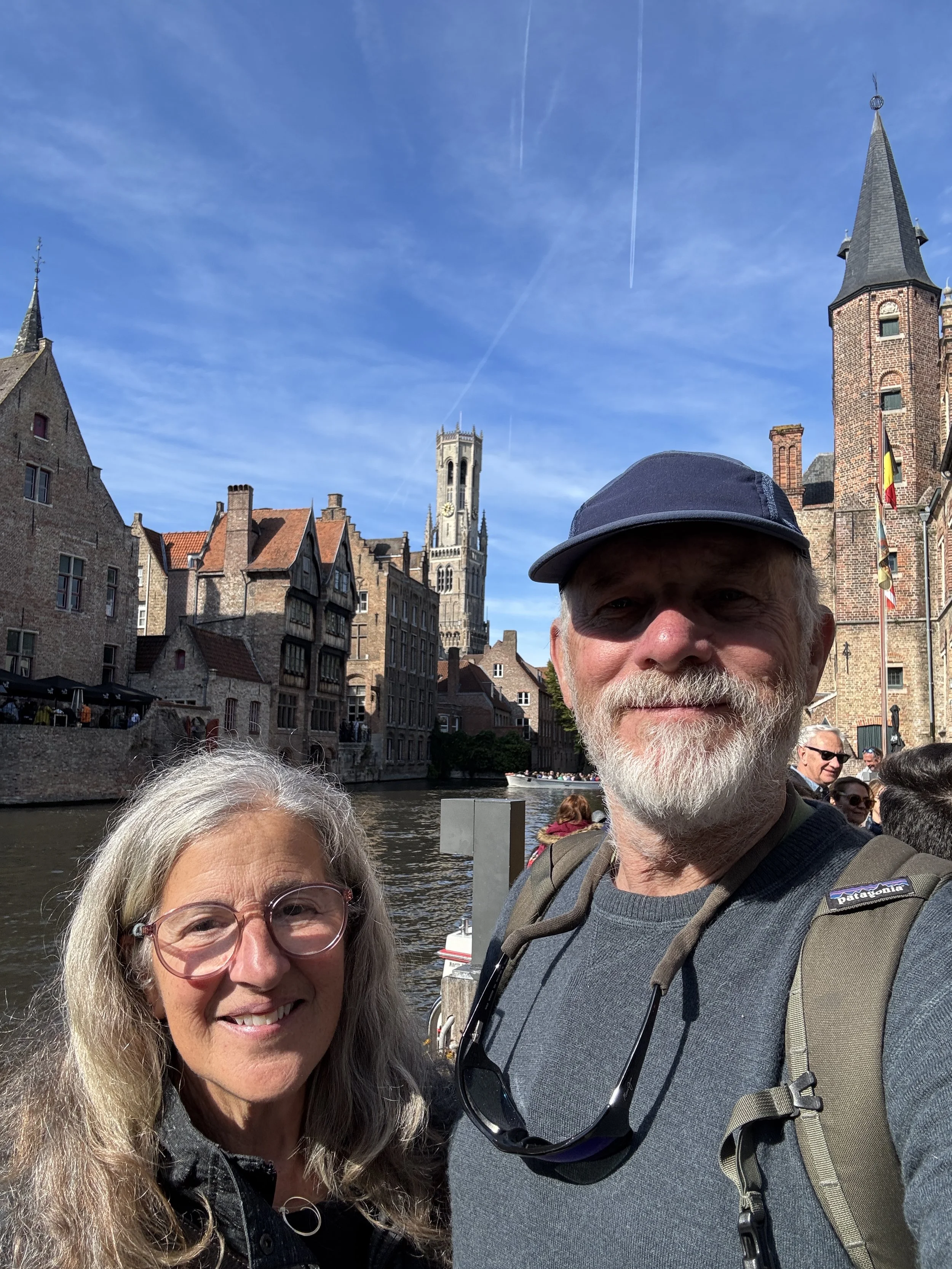
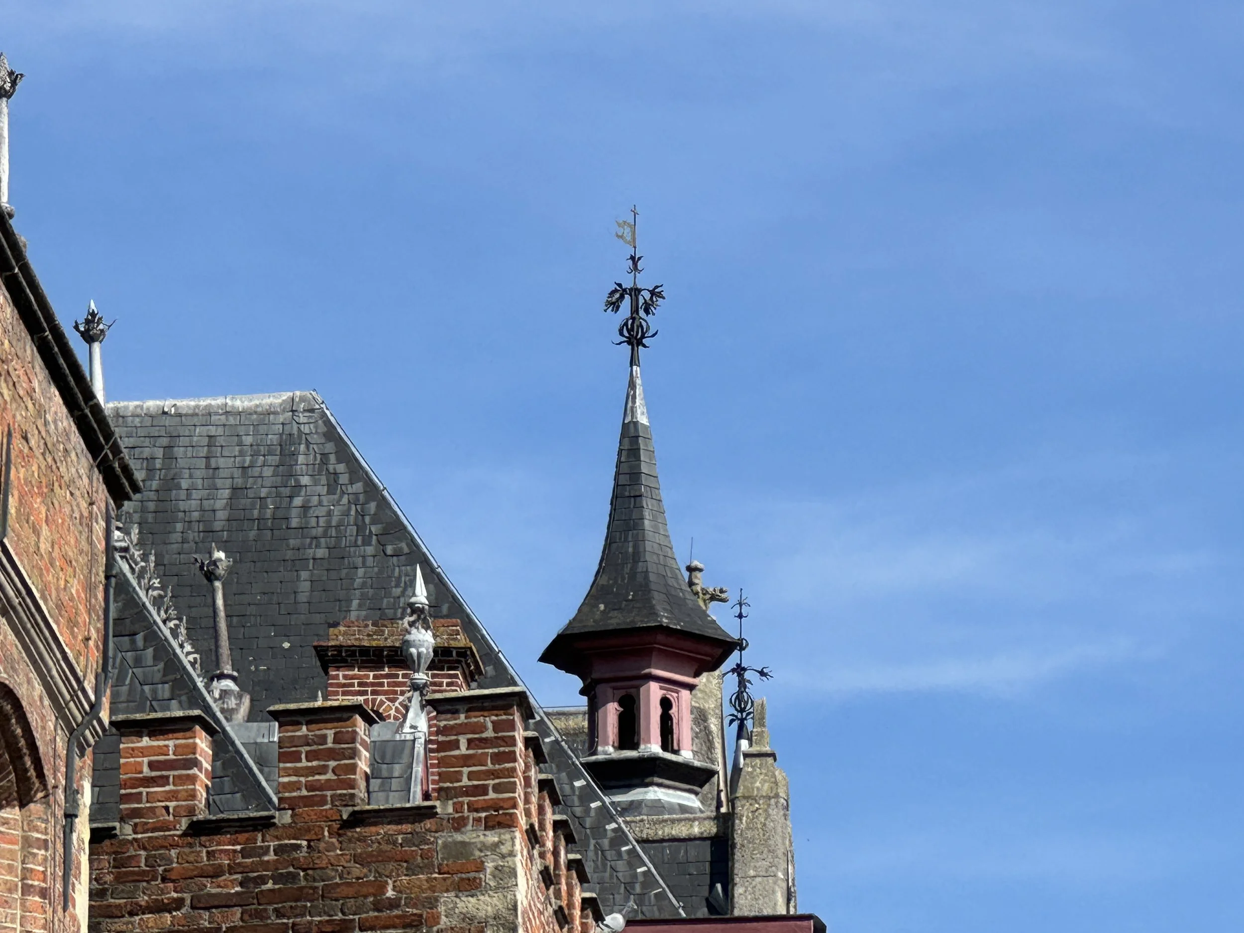
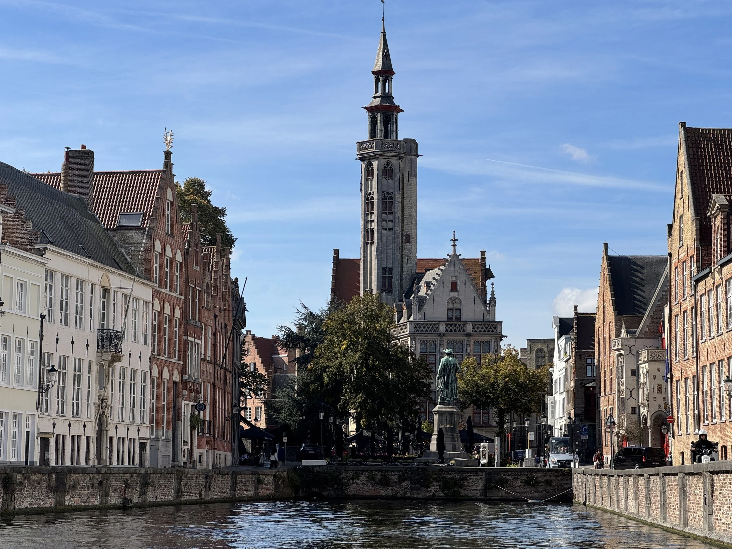
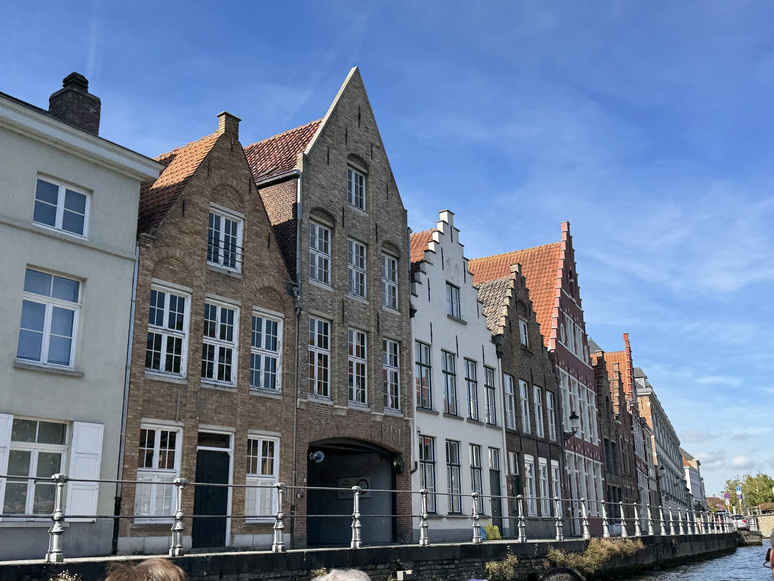
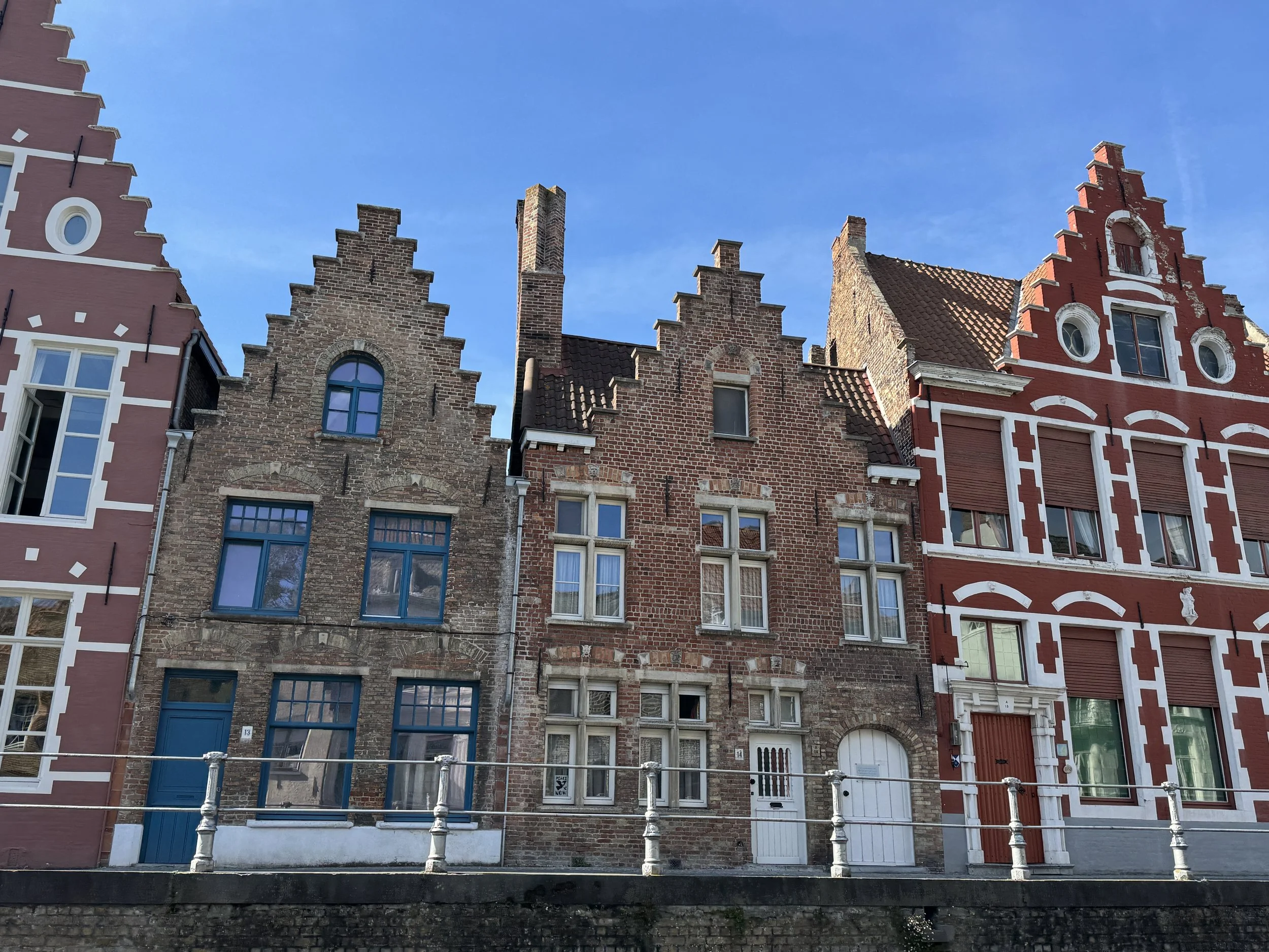
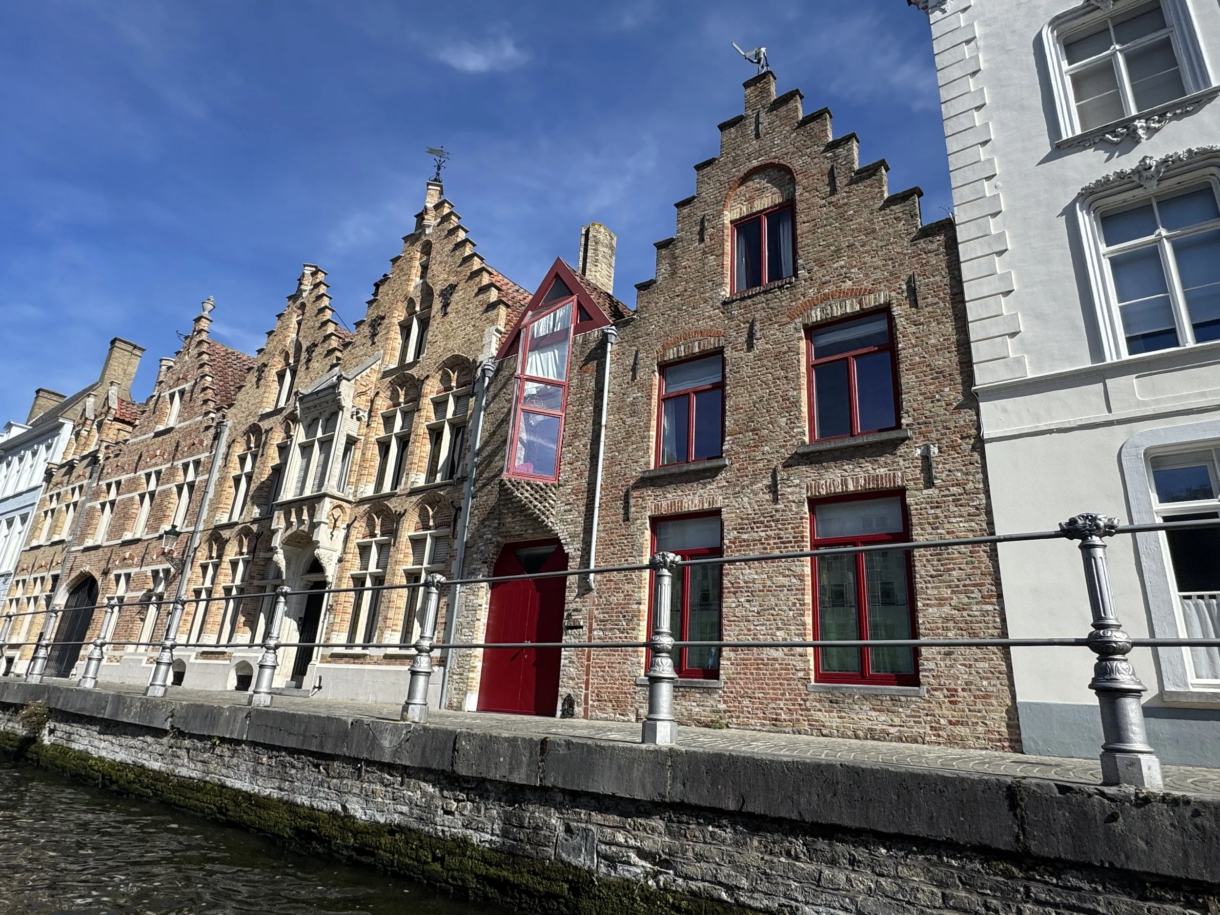
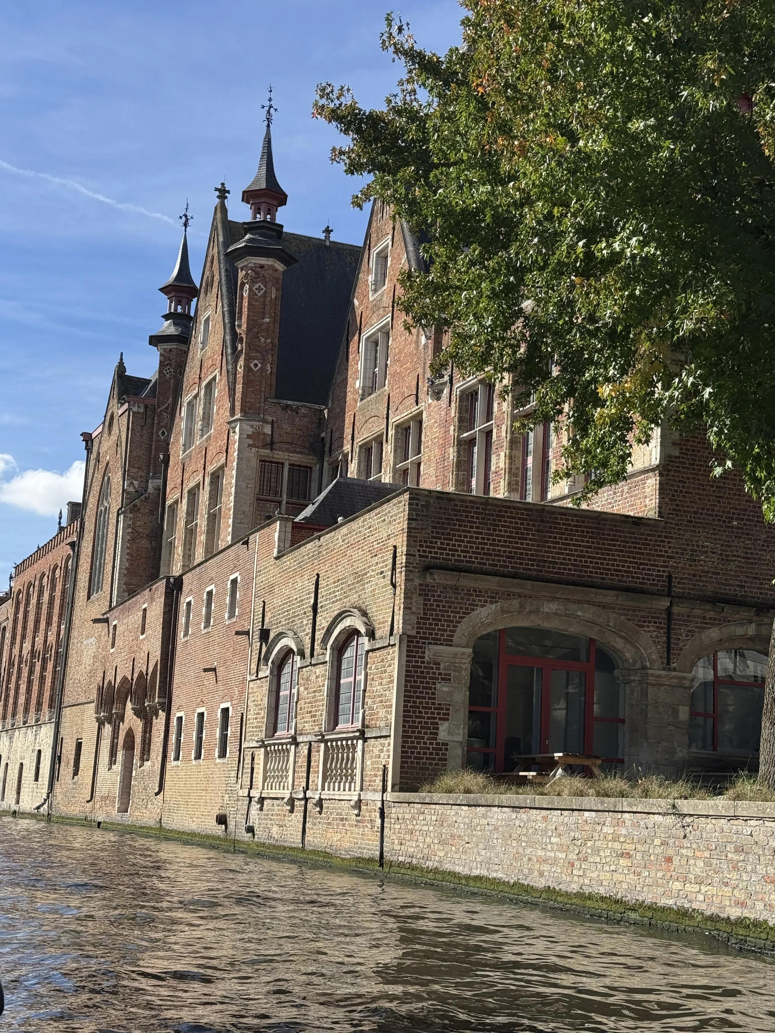
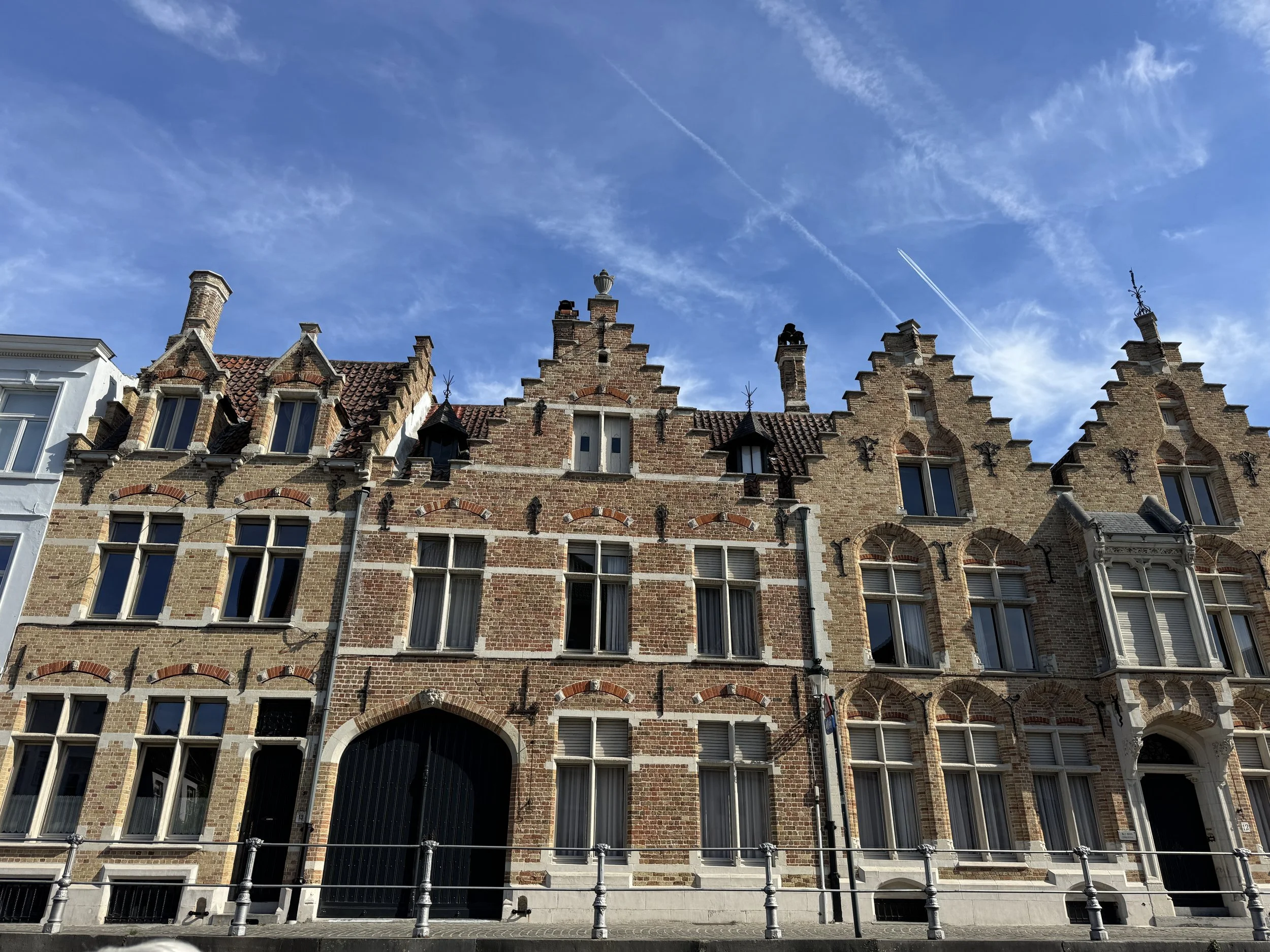
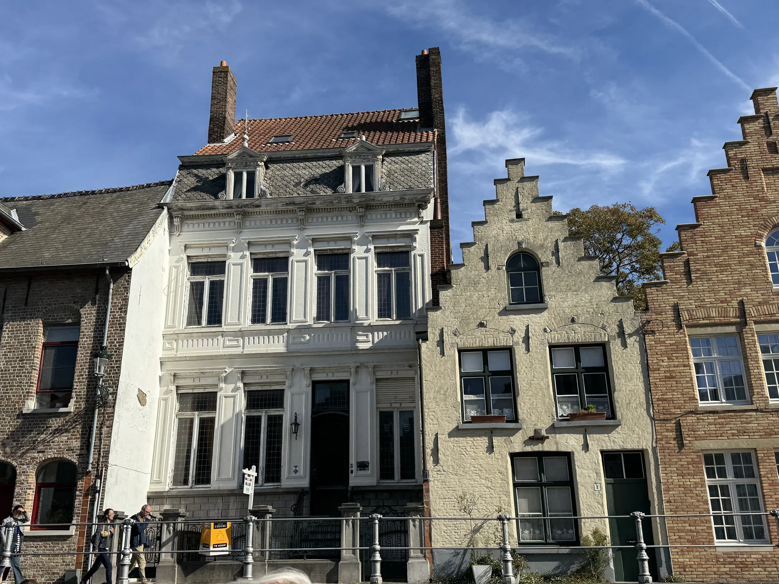
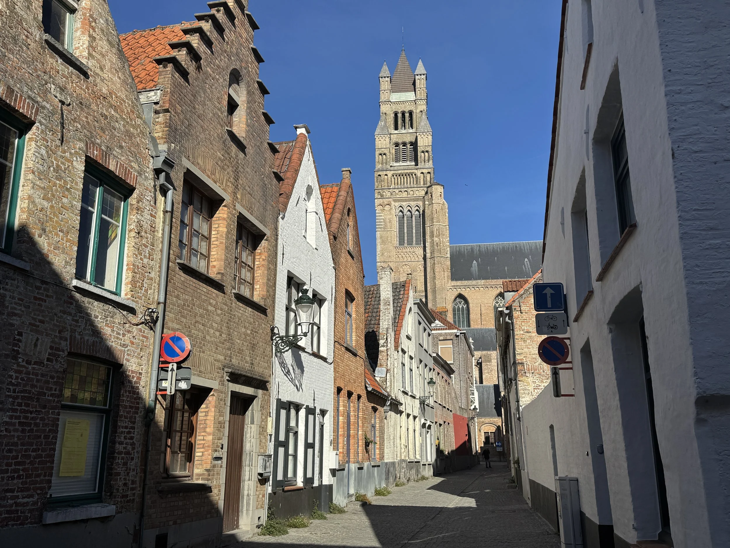
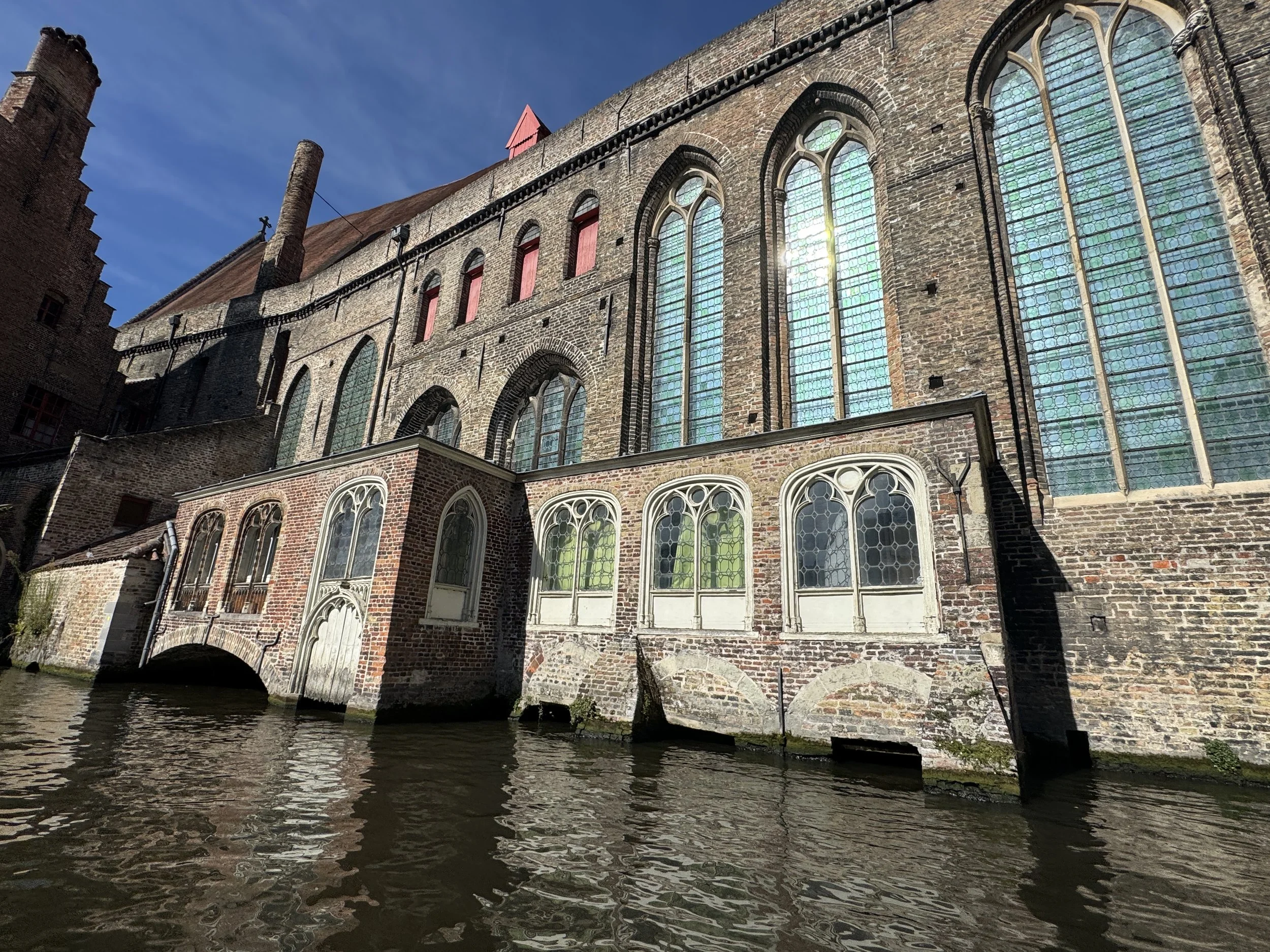
The city of Bruges is a maze of cobbled streets, canals and medieval buildings. We walked through Market Square, the commercial heart of medieval Bruges. It has been a marketplace since 958, and a weekly market has been held there from 985.
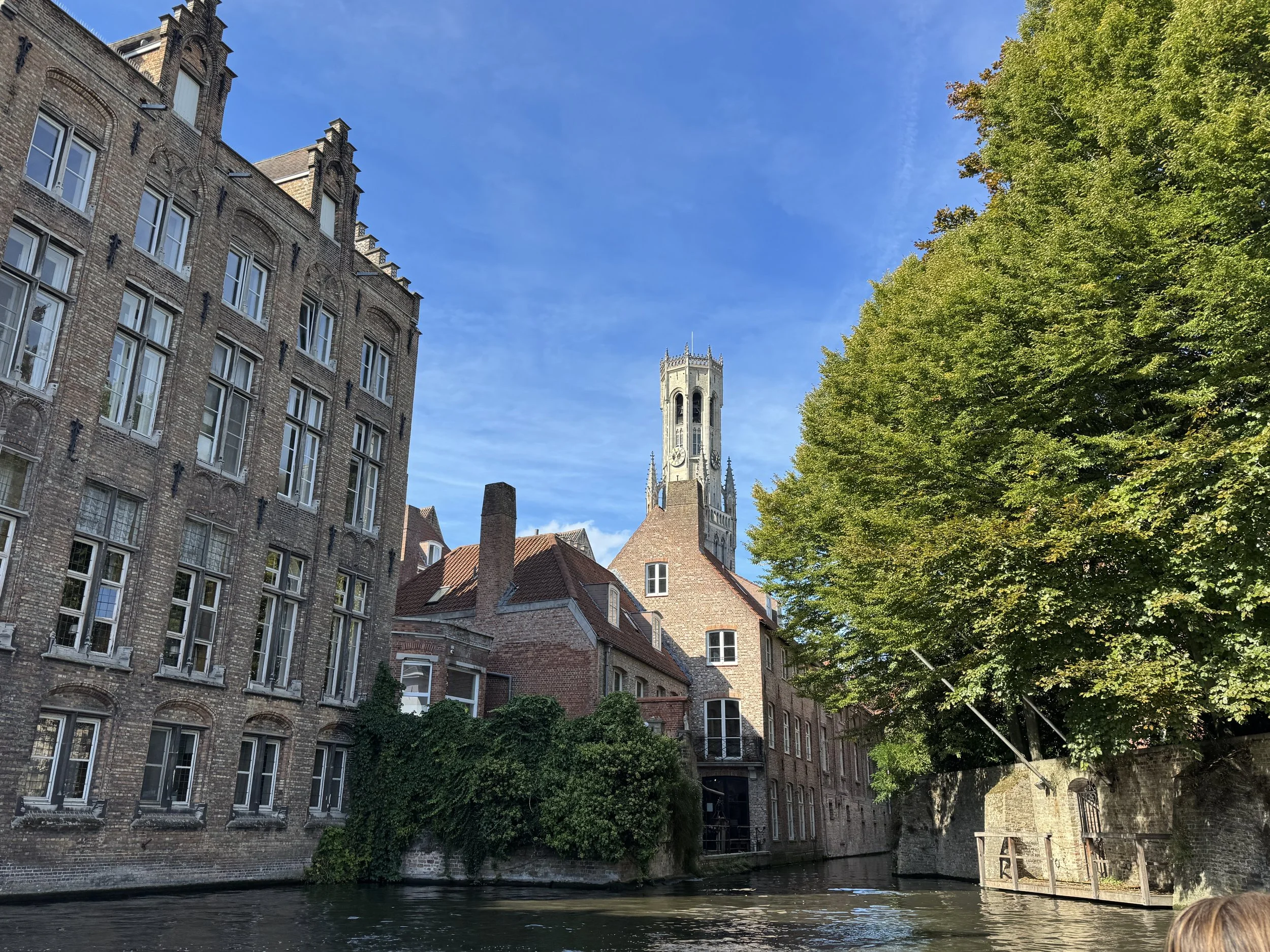
Bruges' most famous landmark is the Square’s 13th-century belfry tower which stands 83m (272 ft) tall, housing a municipal carillon comprising 48 bells (a carillon is an instrument made up of a number of bells played on a keyboard). The belfry was burned after a devastating fire in 1280 and the upper half of the tower was largely rebuilt. The spire was then struck by lightening in 1493 and again fell victim to flames in 1741. A narrow, steep staircase of 366 steps, leads to the top which leans 87 centimeters (34 in) to the east.


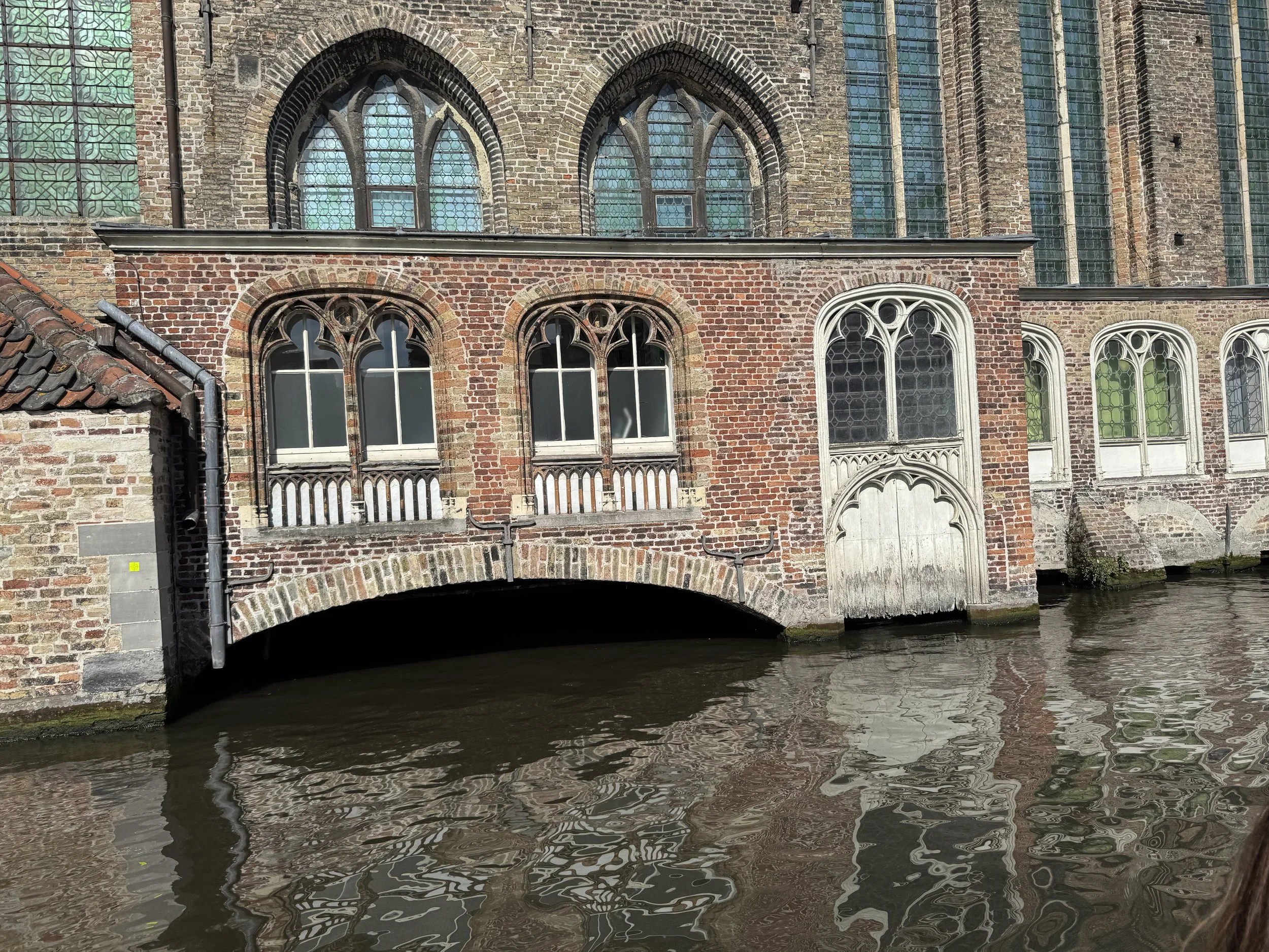
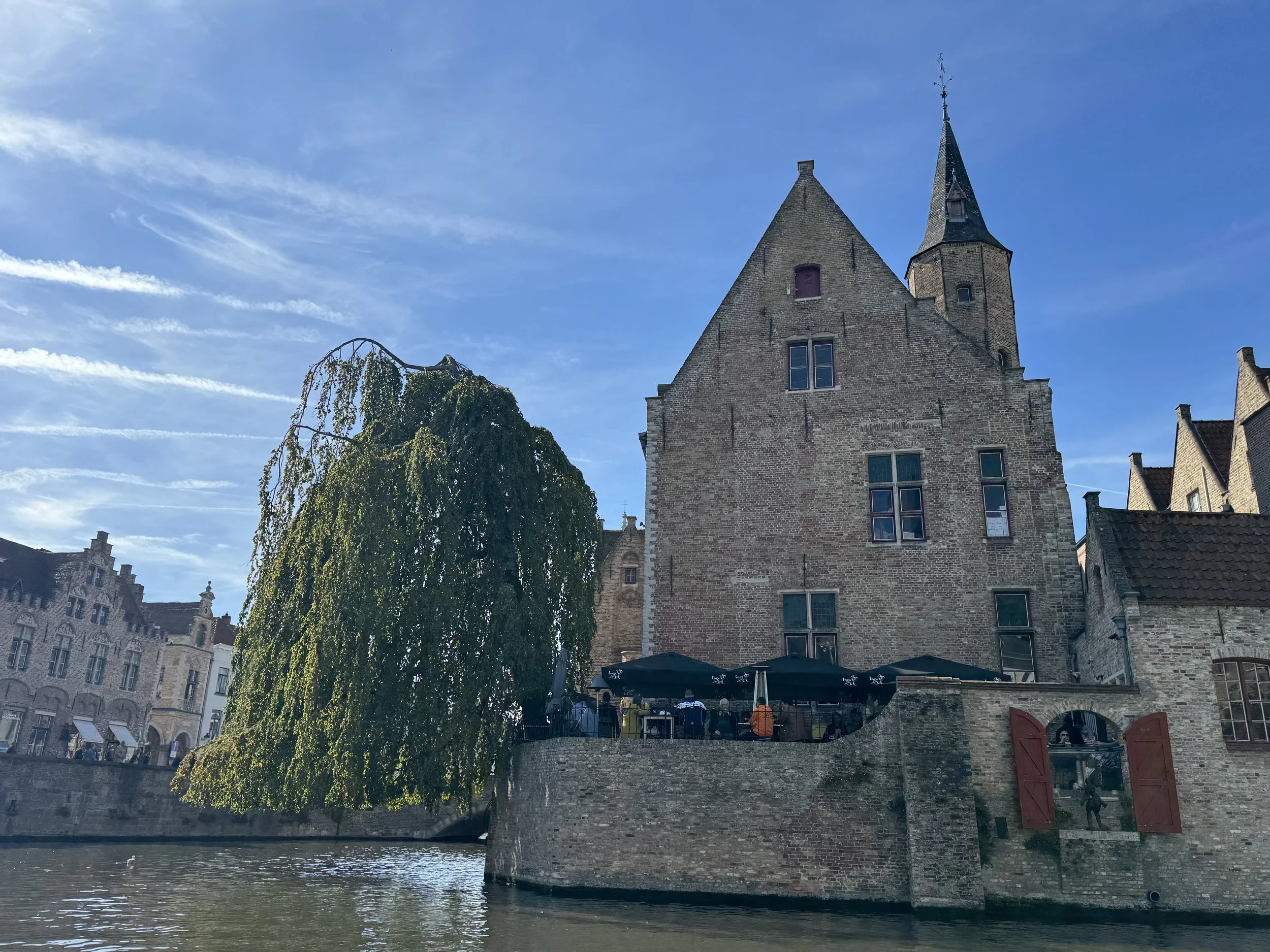
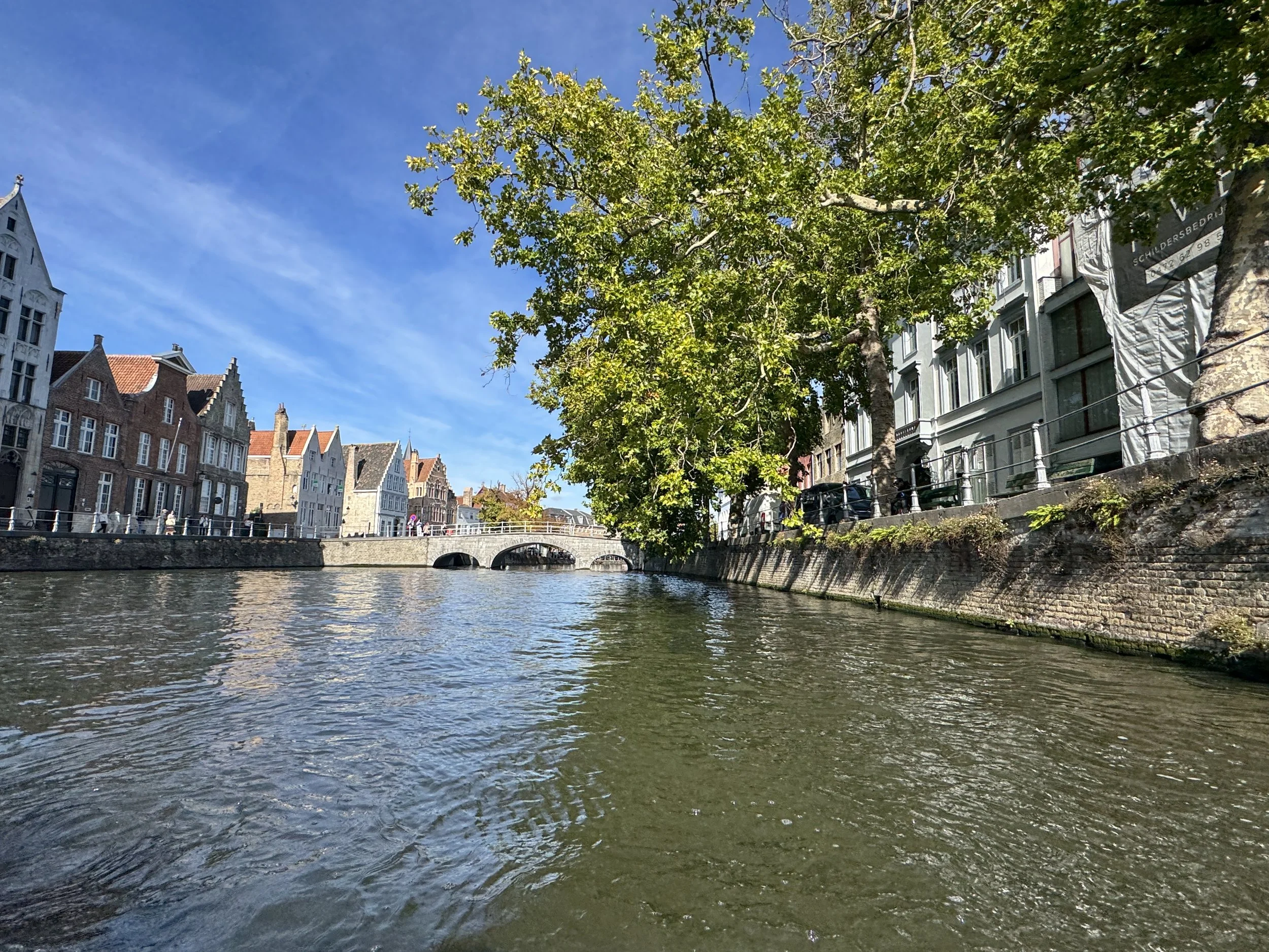
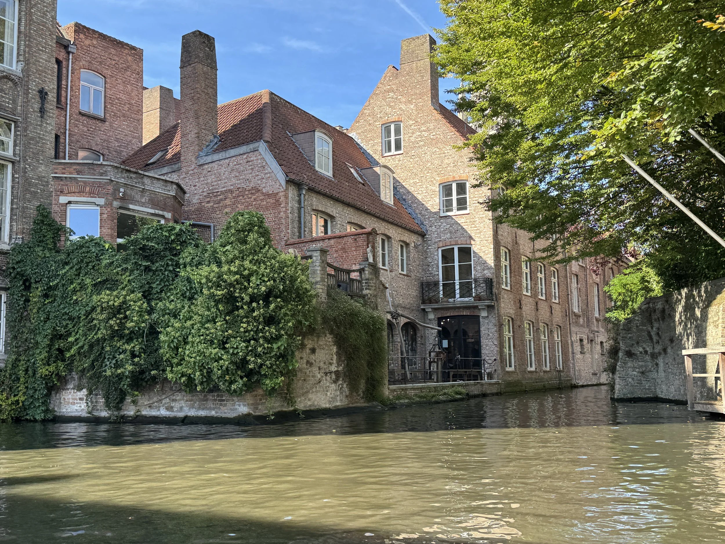
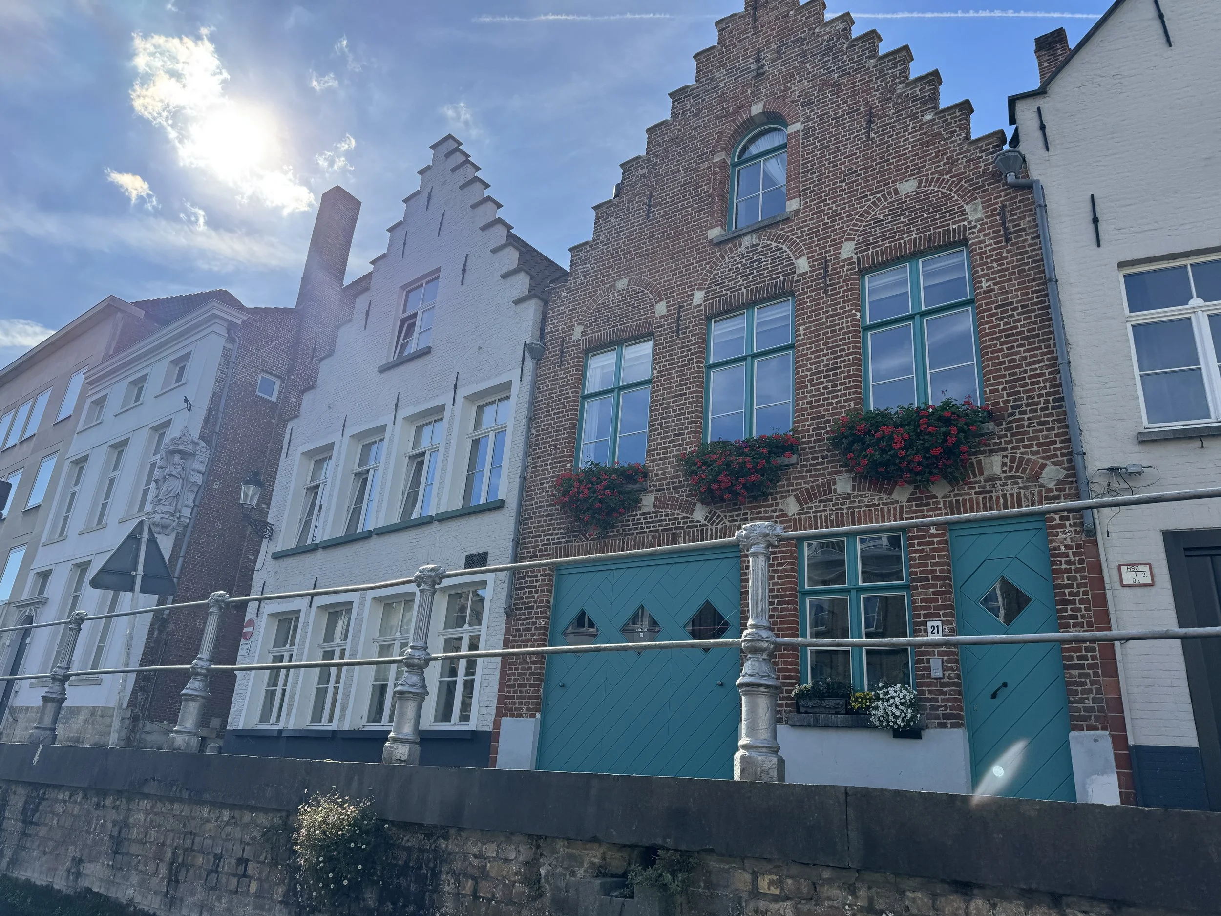
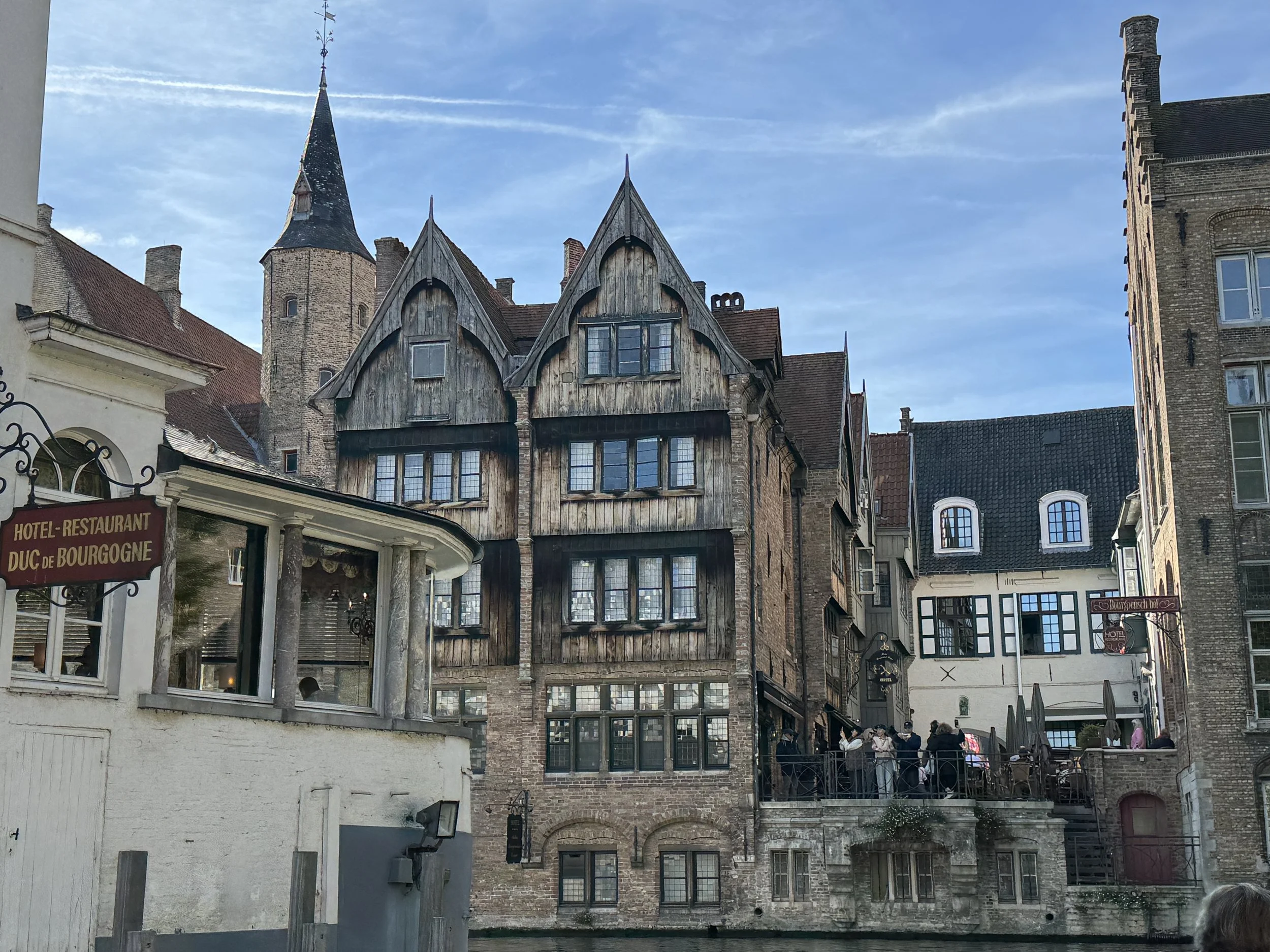
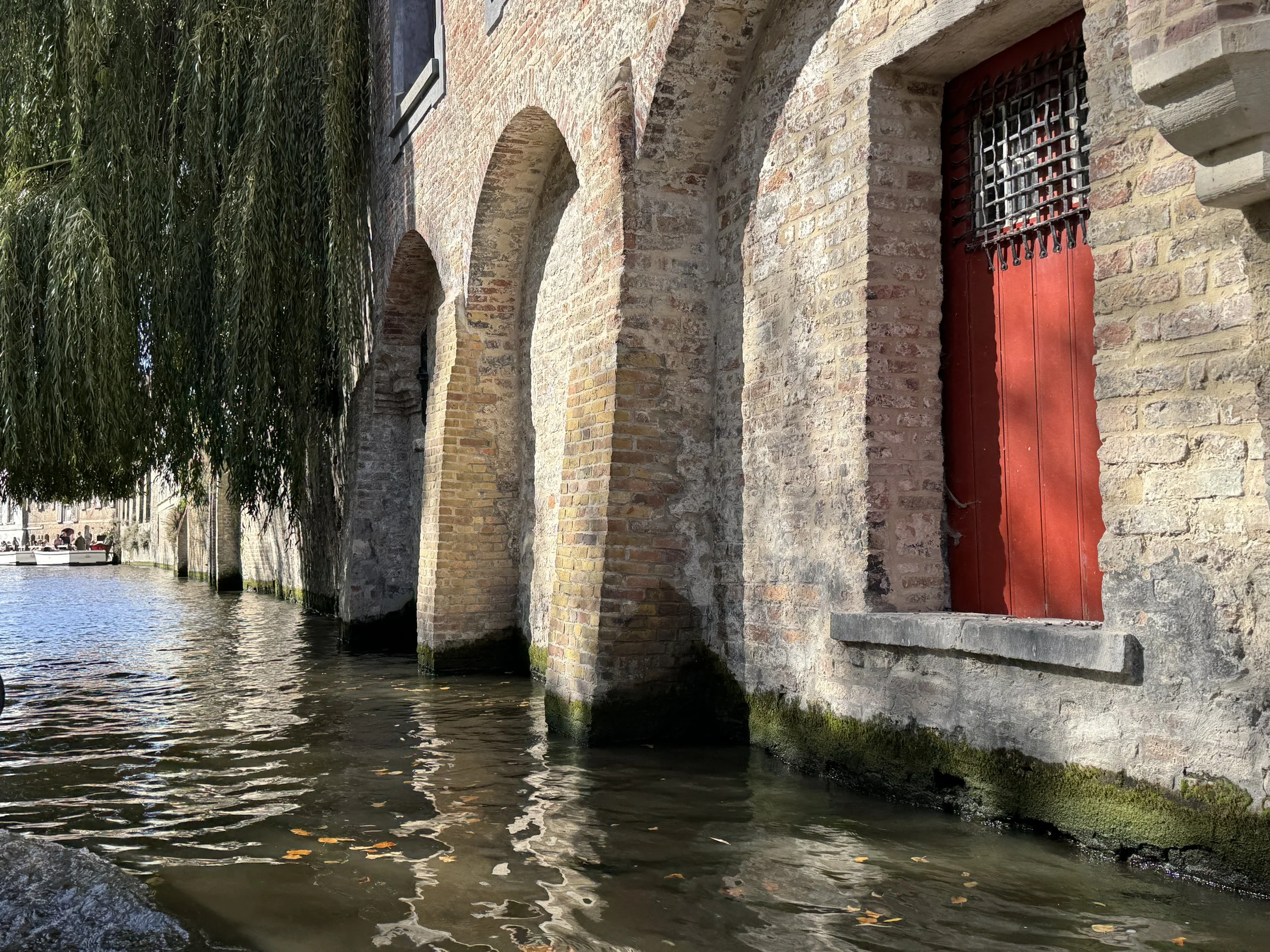
We did the touristy thing and took a boat tour (naturally) through the canals, sliding past medieval buildings and historic landmarks, beneath stone bridges and weeping willow trees. It was a perfect day for it and thoroughly relaxing. We checked out a bunch of shops, wondered down back alleys and found ourselves in a small pub with a crowded canal-side patio. We bought a flight of beer and asked a young couple at a table over the water to budge up and make room for us. They were quite friendly and we had a lovely chat before catching our train home.


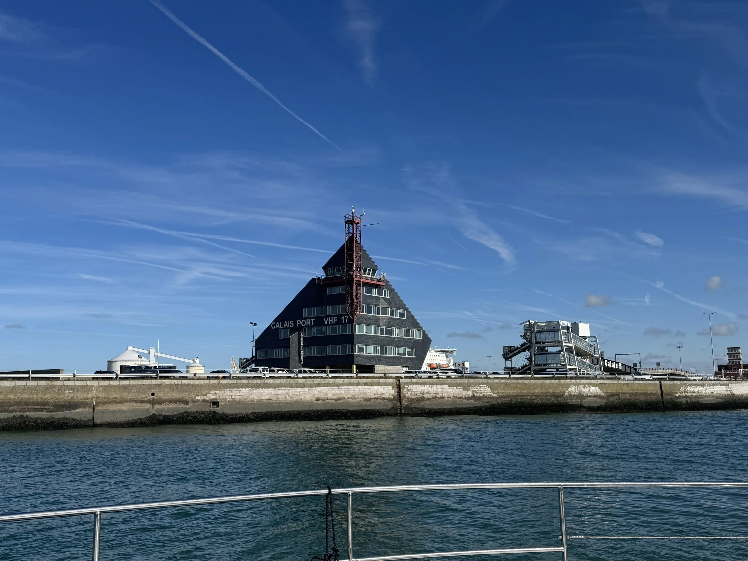
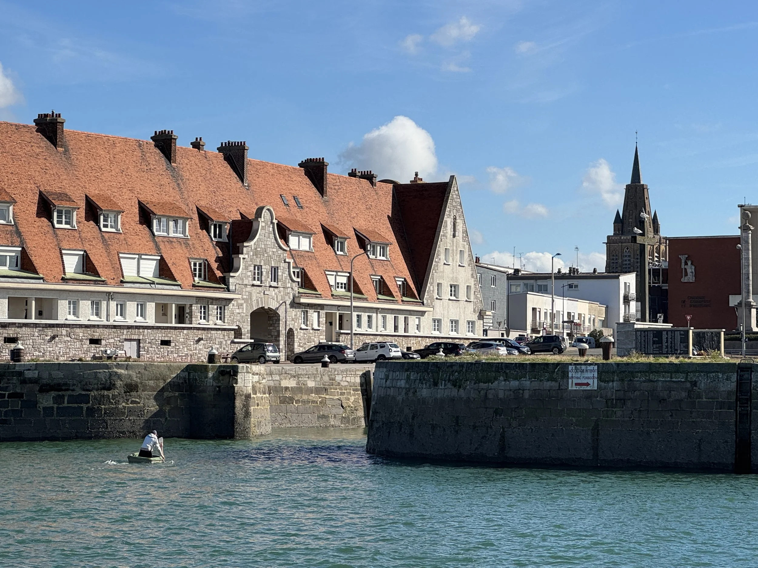
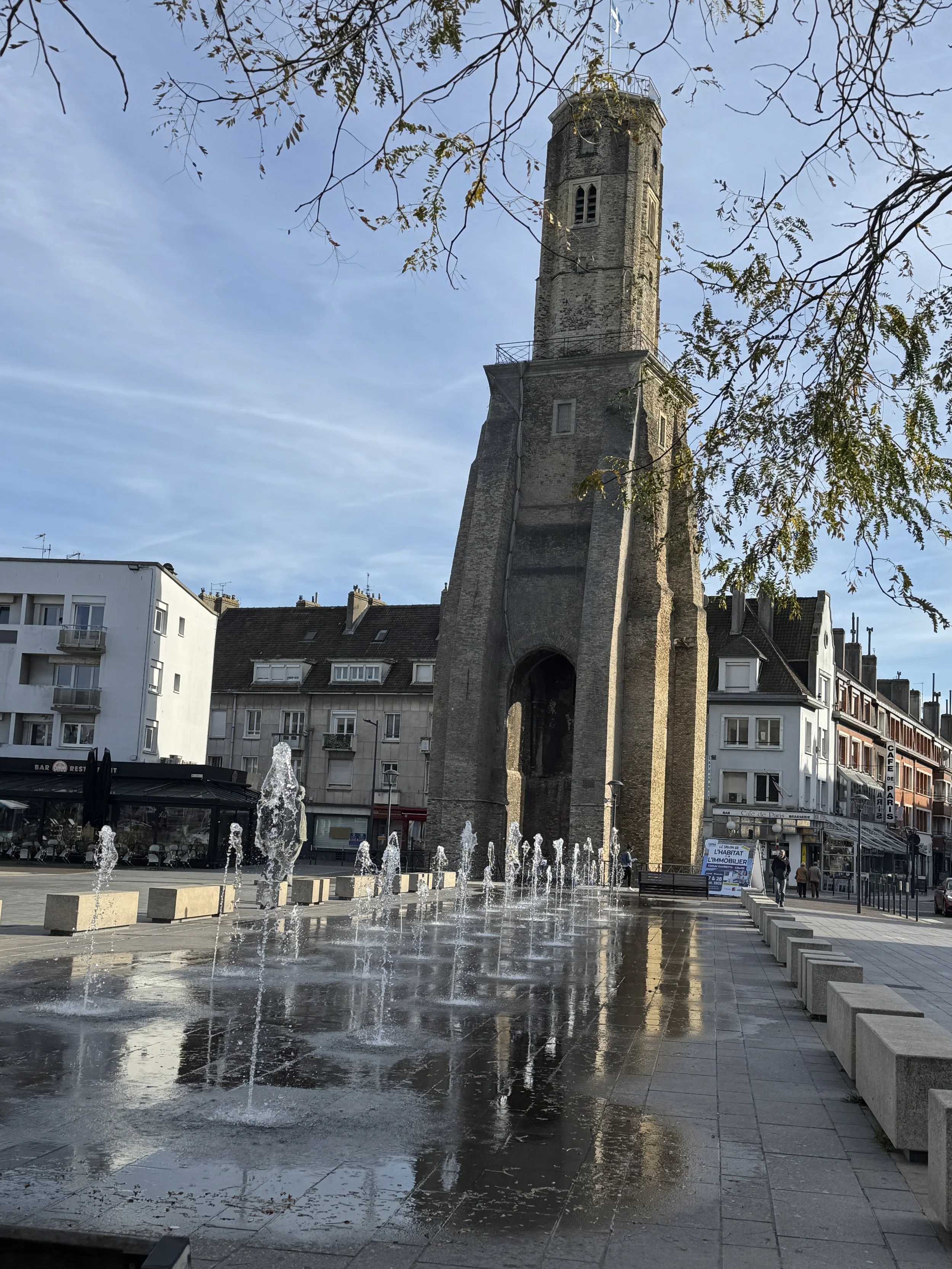
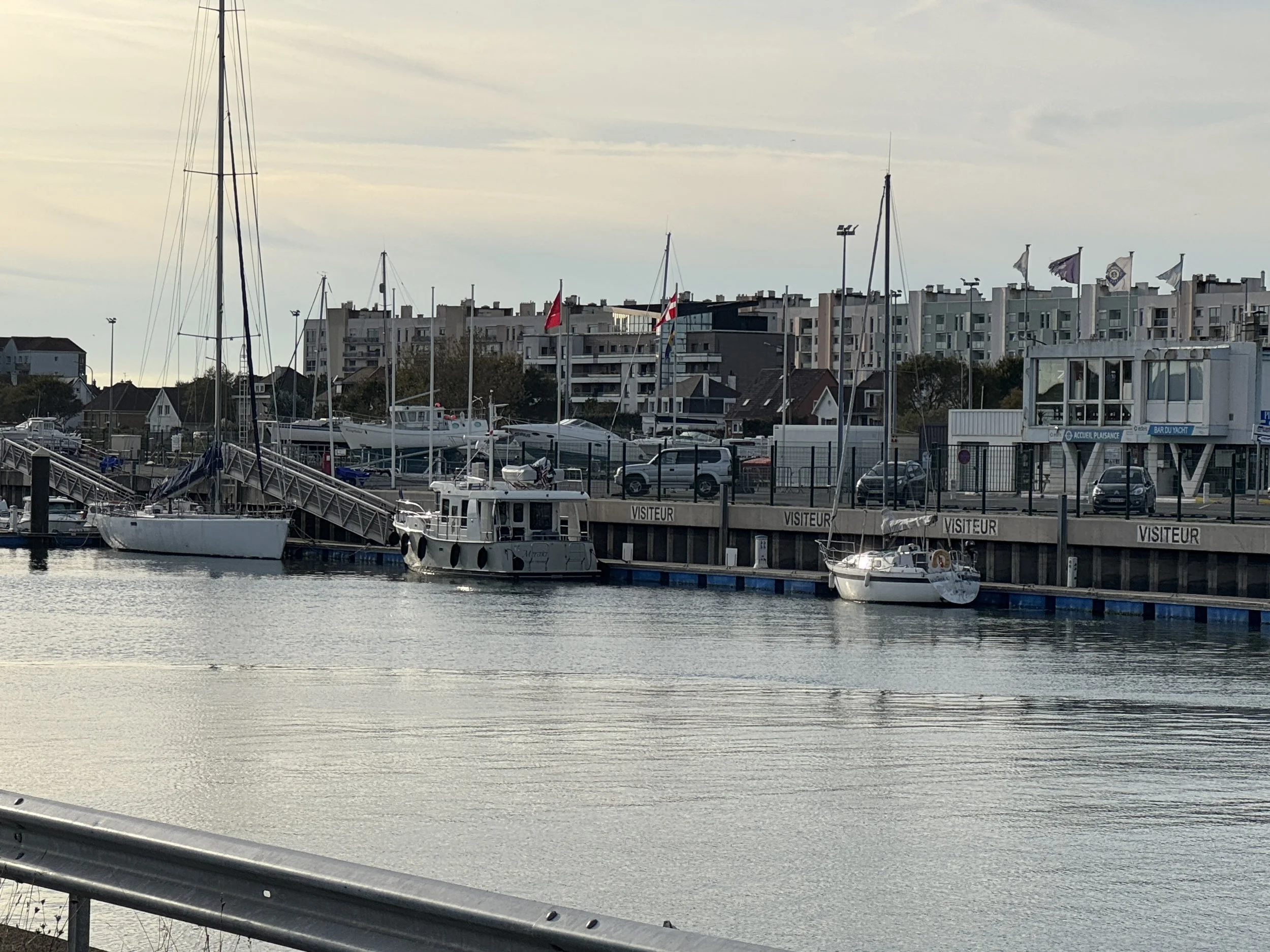
We’d have easily stayed longer in Belgium but the calm seas were calling. Our next stop was Calais. It was another glassy-water cruise down the coast where we hung our French flag once more. The marina in Calais is accessed via a bridge which only opens at specific times relative to high tide.. We’d arrived just a few minutes early at the bridge and a man paddled over in a rib to help us tie up to a mooring ball while we waited for it to open. Once secured inside the marina we set off to find the police station where we would check out of the EU and get our passports stamped. A short walk, a free bus, followed by a longer walk and we had accomplished our task. Back the way we came to Meraki to prep for our Channel crossing.


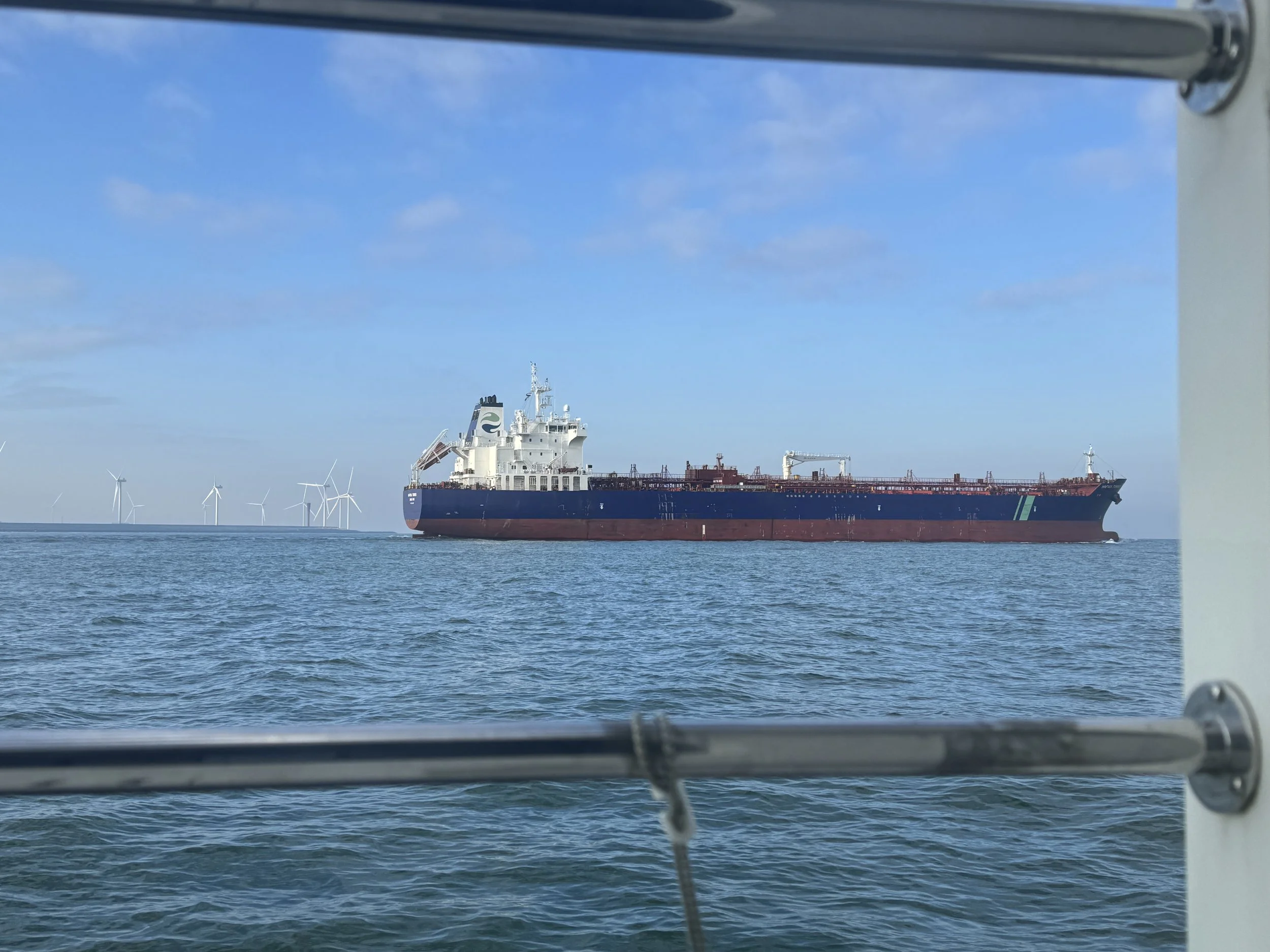
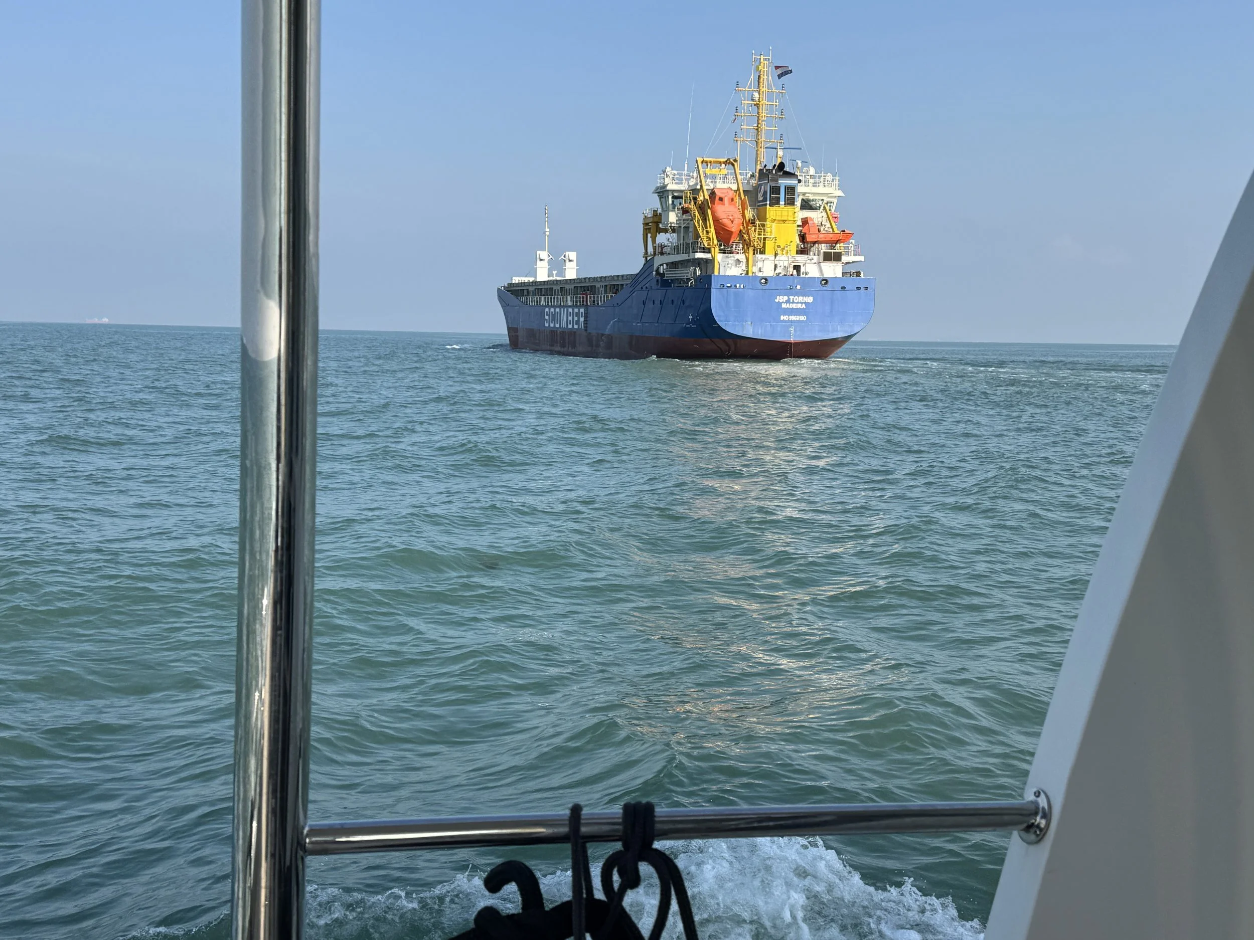
We’d spoken to several other sailors who’d crossed the channel more than once. We’d been given tidbits of advice but despite all of them telling us it wasn’t that difficult, we were ambivalent. The Channel stretches about 350 miles (563 km) long and is 150 miles (241 km) at its widest point, while the narrowest is a mere 21 miles (34 km) in the Dover Strait, where we’d decided to cross. The Strait of Dover is one of the busiest shipping lanes globally, with approximately 400 commercial vessels passing through daily. This heavy traffic underscores its vital role in international trade and transportation.
Shipping traffic is restricted to two traffic separation schemes (TSS), and we always plan to cross these on a heading at 90° to ensure we nip across as speedily and safely as possible and comply with the ColRegs (the international regulations for preventing collisions as sea). With some of the busiest shipping lanes in the world, avoiding the tankers and other cargo ships that pile through the Channel is daunting. There are also 13 ferries that cross the channel which travel at a whooping 35 knots.
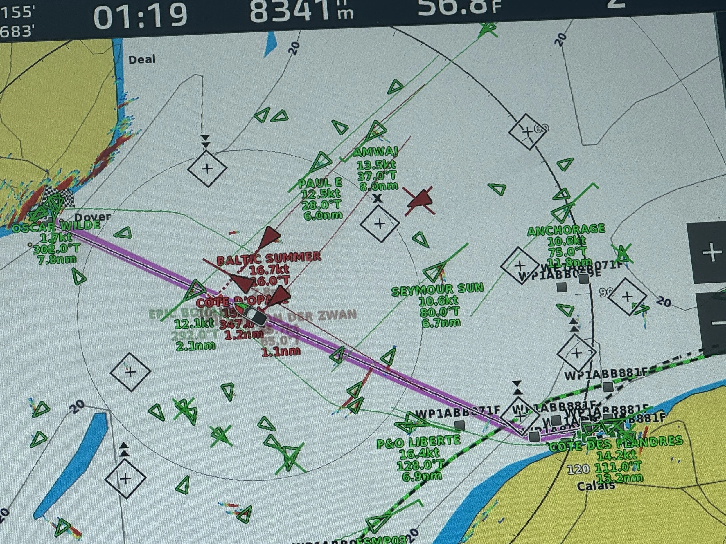
Just a few vessels to keep track of.
We also needed to take the tides into consideration. The flood tide flows from the southwest from 1.5 hours before high water to 4 hours after high water Dover (followed by a short period of slack water). The ebb tide flows from the northeast from 4.5 hours after high water to 2 hours before high water Dover (also followed by a short period of slack water). Because of this movement of water from one place to another, a large volume of the sea must 'squeeze' back and forth through the narrow Dover Strait - so there are strong tidal flows and a large rise and fall in the depth of water between high and low tide.
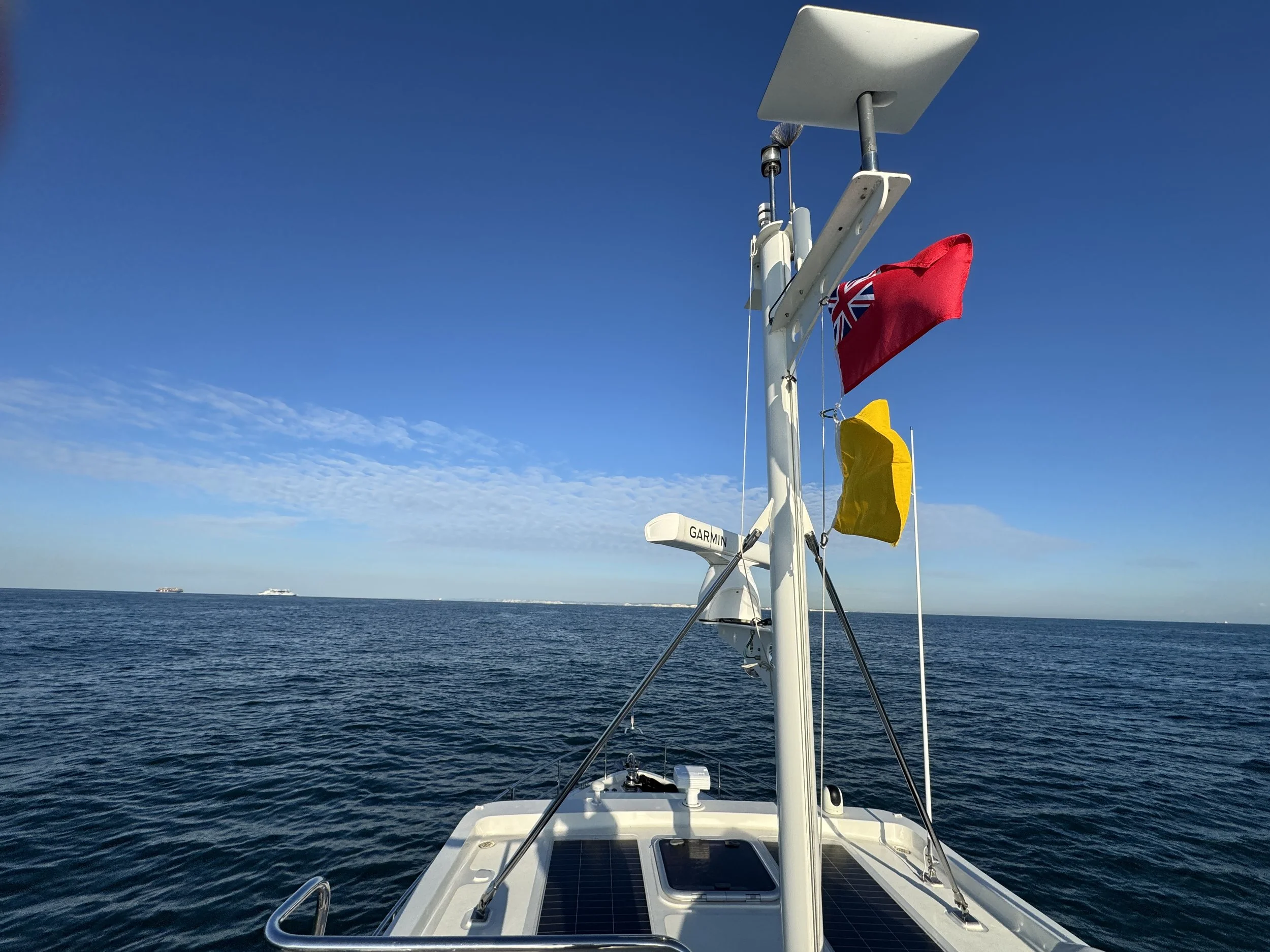
The bridge at the marina in Calais opened at 7:50am the next morning, we’d slipped the lines and waited in the fairway. We motored out into the channel monitoring the Dover Strait radio channel for traffic updates. In addition to the ships and ferries, there were also five channel swimmers - each with their own official Observer vessel. We slowed down at one point to avoid a collision with a tanker, but overall the 4-hour crossing went incredibly smoothly.
After four countries in four days, and having completed the Channel crossing, we felt we were now home free. A few easy hops down the coast of Great Britain and we would be at our final destination of the season.
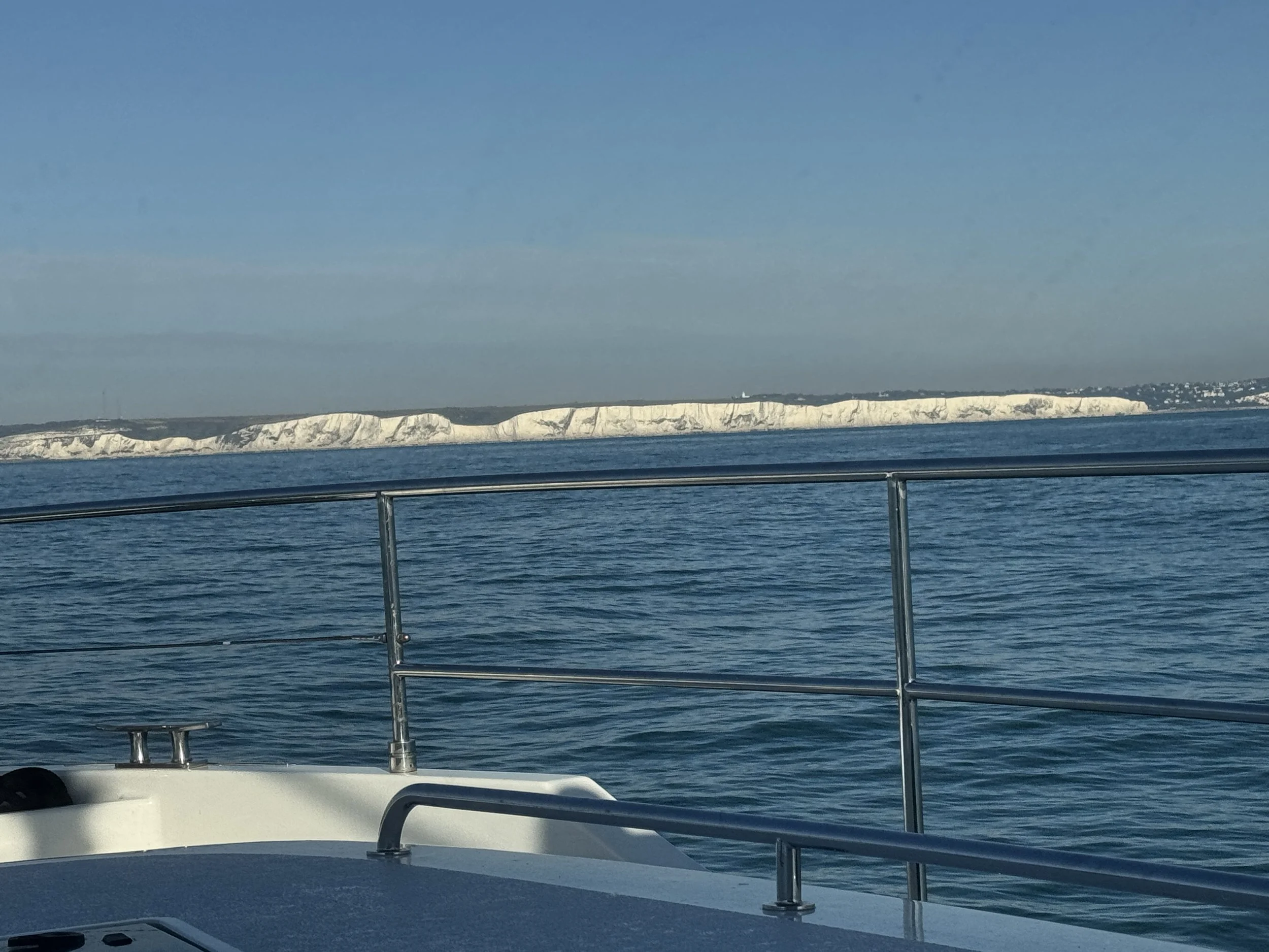
The White Cliffs of Dover