

The Swellies
After extensive planning we left Caernarfon Marina at what we had deemed the optimal time to transit the Menai Strait.
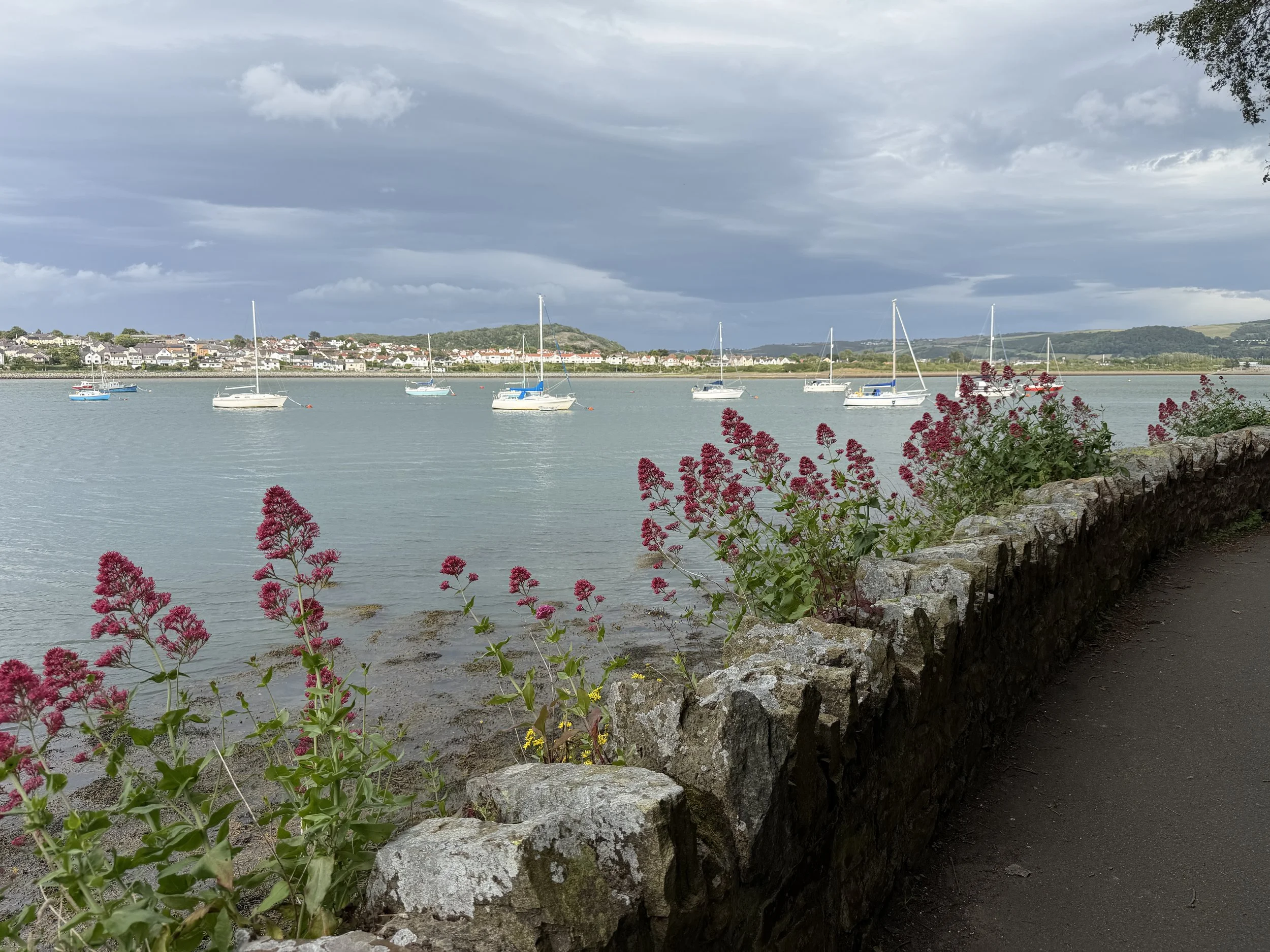
The Menai Strait separates the island of Anglesey, or Ynys Môn, from mainland Wales. It is a tidal stretch of water that has some interesting characteristics. Flows in this narrow, 16 mile (25km) long channel are driven by the dynamics of how the strait starts emptying or filling from one end before or after the other end. In fact, the differential tides mean the tidal flow in the strait reverses at certain points in time. In between reversals, it can be pretty vicious.
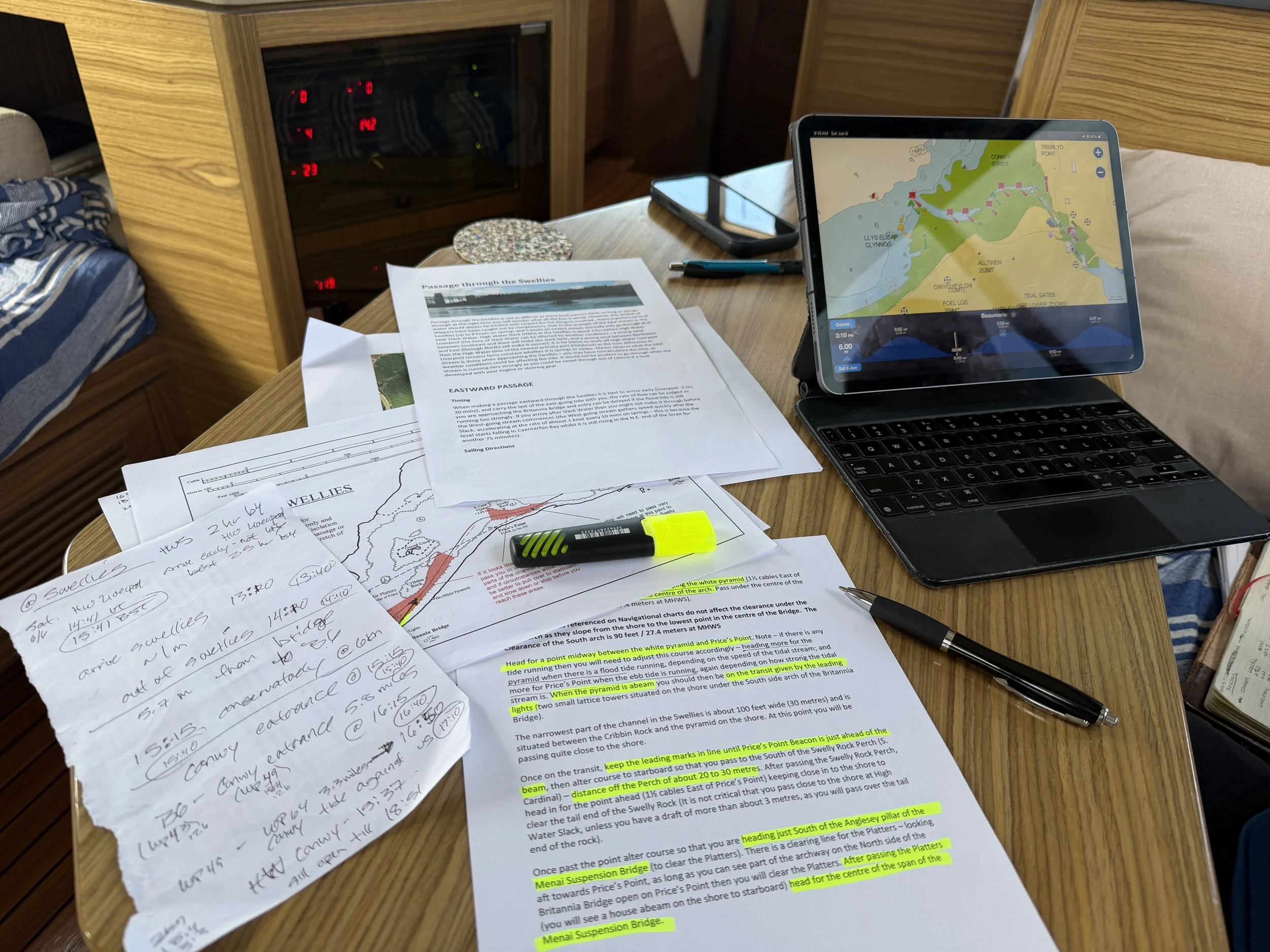
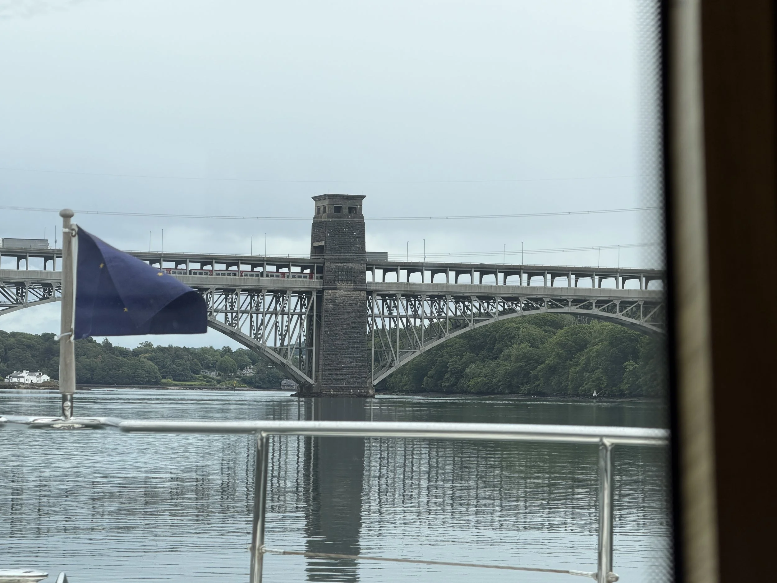
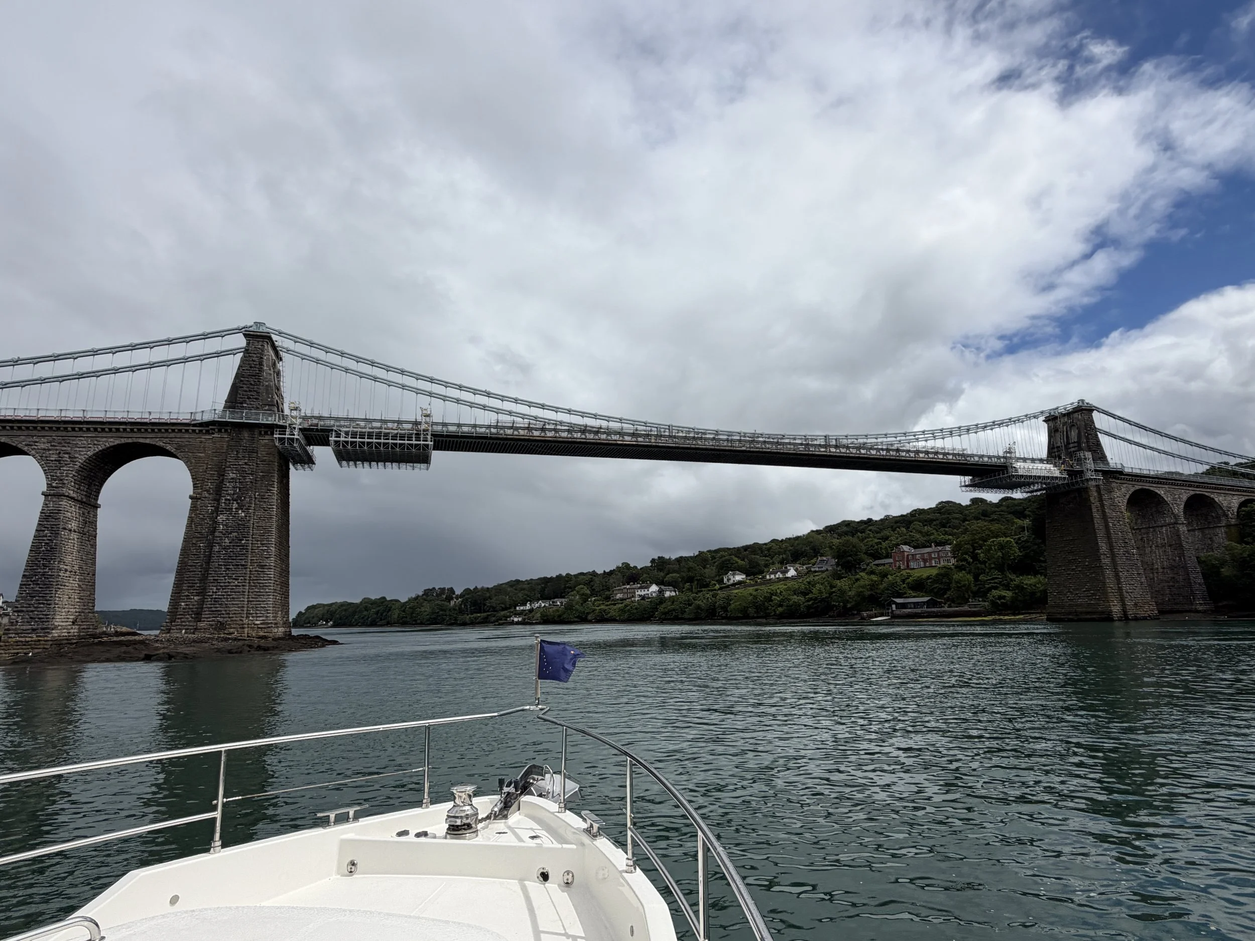
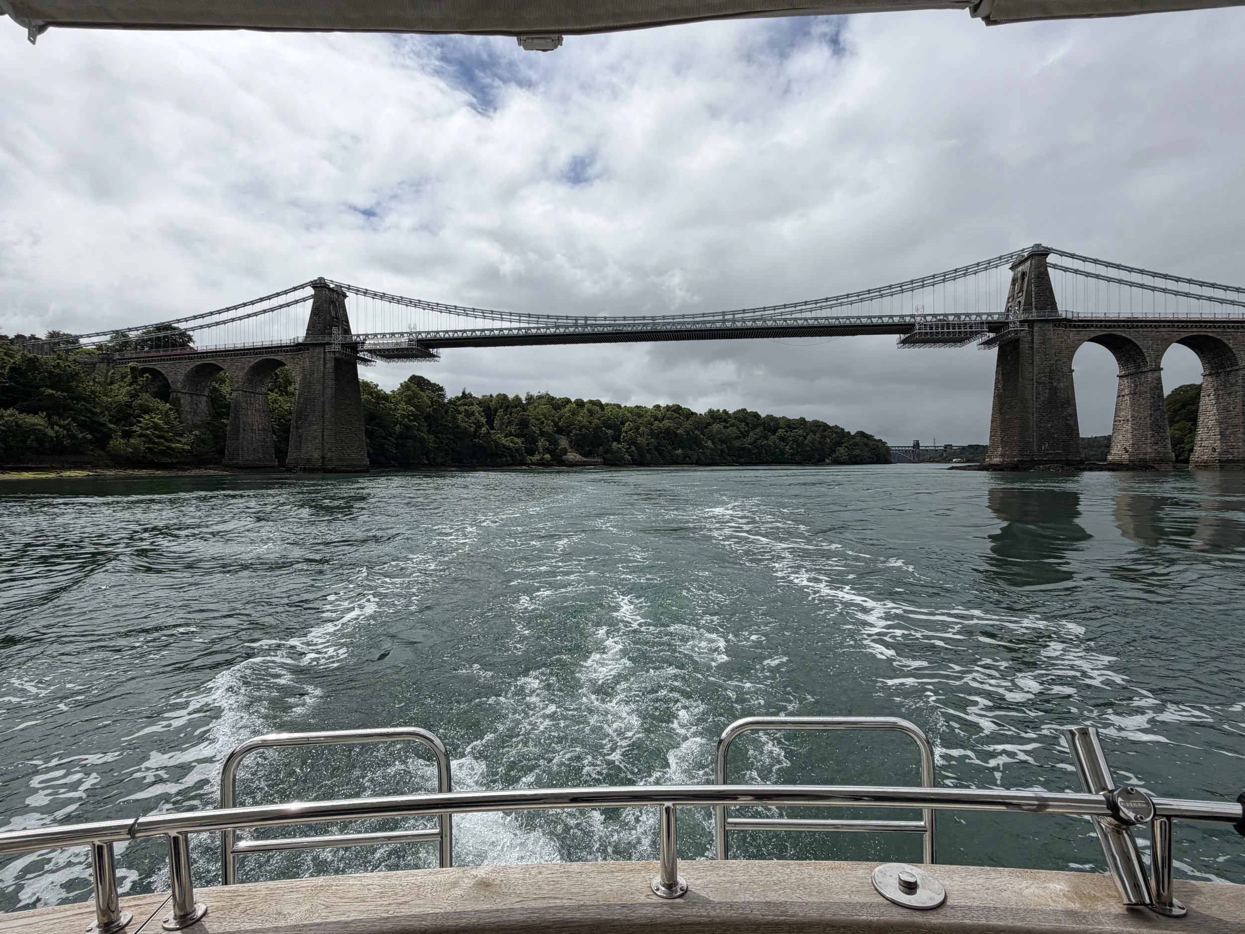
The savage tides can rip through at alarming rates. The currents find their epicenter at a patch of wild water called the Swellies, a shallow, rocky patch that, at certain states of the tide, resembles a stretch of rapids with alarming overfalls and small whirlpools. This section is so shallow that it is – at least theoretically – possible to walk across the strait at the very bottom of a big spring tide. You need to be at the Swellies at High Water (HW) Slack – this is 2 hours before HW Liverpool. This is the narrowest section of the Menai Straits and the tide can run through here at up to eight knots. We don’t move that fast.
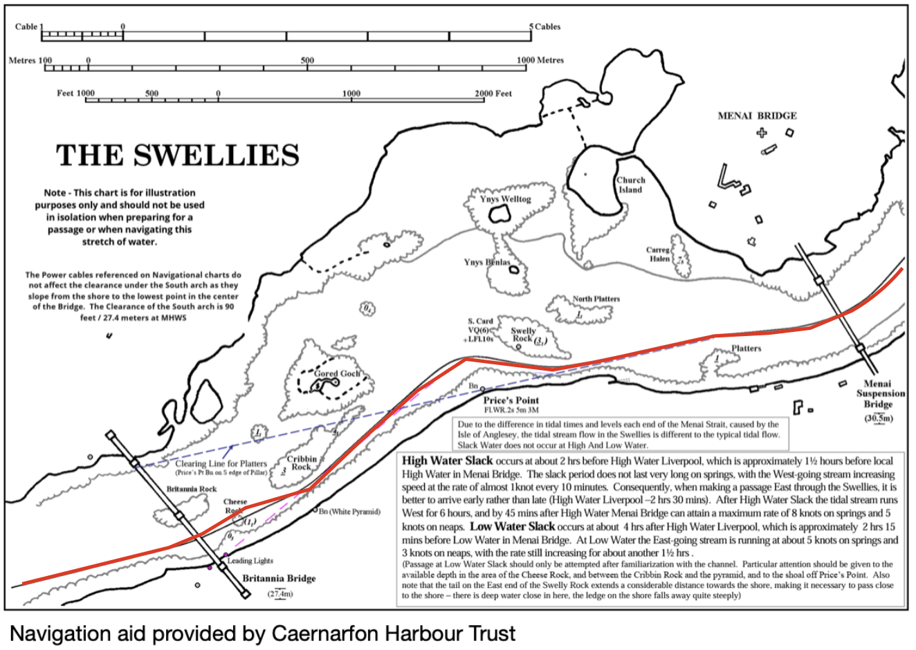
We had read, “Care is needed if the Swellies are to be piloted successfully and the first passage for any skipper would benefit from the company of a regular. Tidal streams at Menai Bridge are sufficiently strong….. once you are committed there is often no turning back.” The trick to navigating them successfully is lining up markers in several different places.
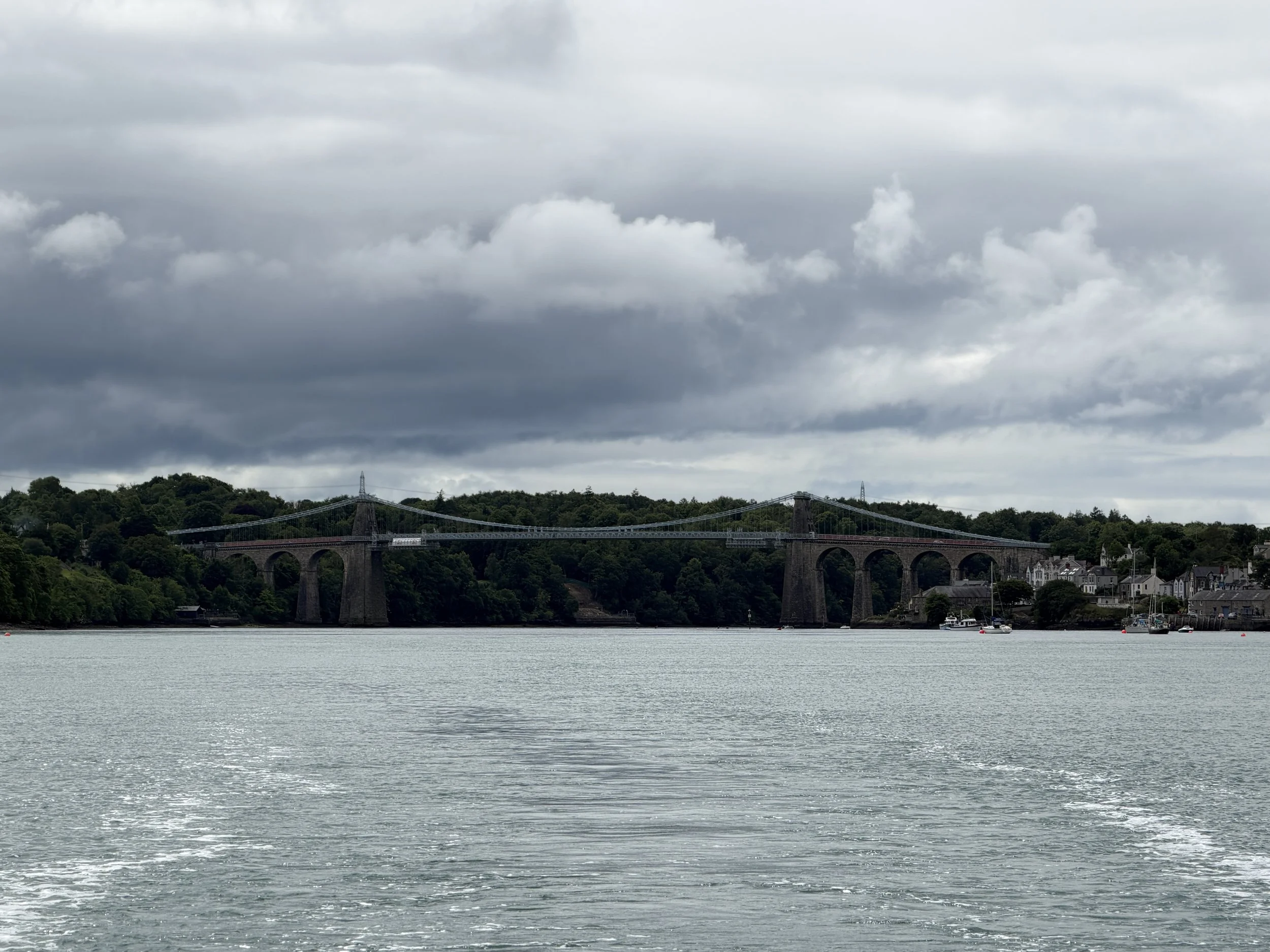
We had printed out visuals and verbiage about what to look for. I read and gave instructions as Tom steered: there’s the pyramid, now turn to port, line up with the point, keep a transit on the lights behind us, then turn to starboard, aim for the left span of the bridge…etc. We were anxious as we entered the Swellies but we figured it out as we went. Once we passed beneath the Menai Suspension Bridge we breathed a sigh of relief. We could now relate to a rather cavalier comment we had also read during our research, “If you read the pilot guides you’ll never leave the harbor.”
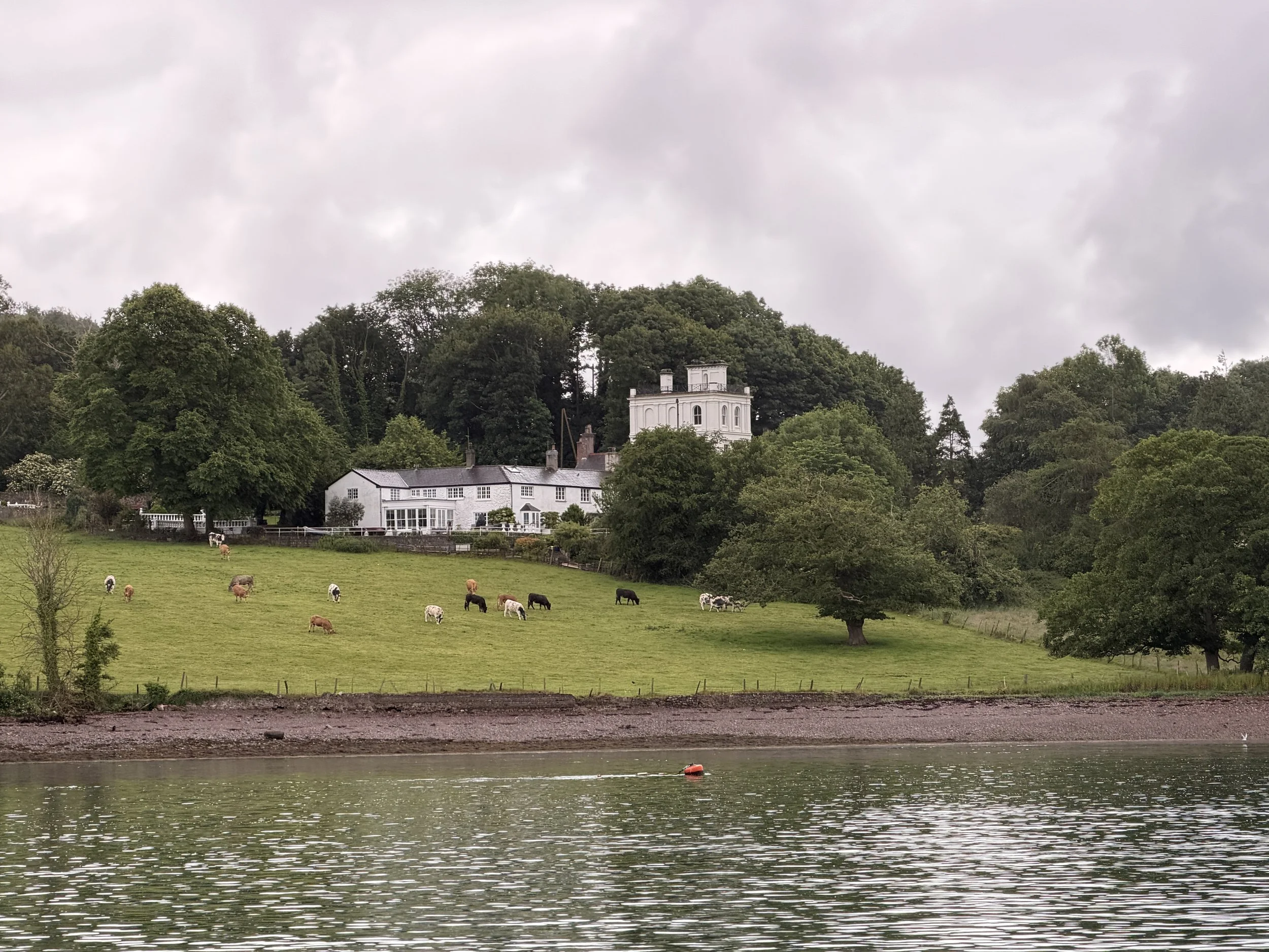
Just adjacent to the Britannia Railway Bridge on the Anglesey side of the strait lies the village of Llanfairpwllgwyngyllgogerychwyrndrobwllllantysiliogogogoch. No, that is not a typo. This village has gained much fame to its rather absurd tongue twisting name which roughly translates as: The church of St. Mary of the pool of the white hazels near the fierce whirlpool and the church of St. Tysilio of the red cave. Truthfully though, the name was a publicity stunt. The village was actually called Llanfairpwllgwyngyll (a mere 20 letters long and the reason I’m not learning Welch), but was changed in 1869 when the railway was being built so that it possessed the longest railway station name in the UK and drew in a few more tourists.
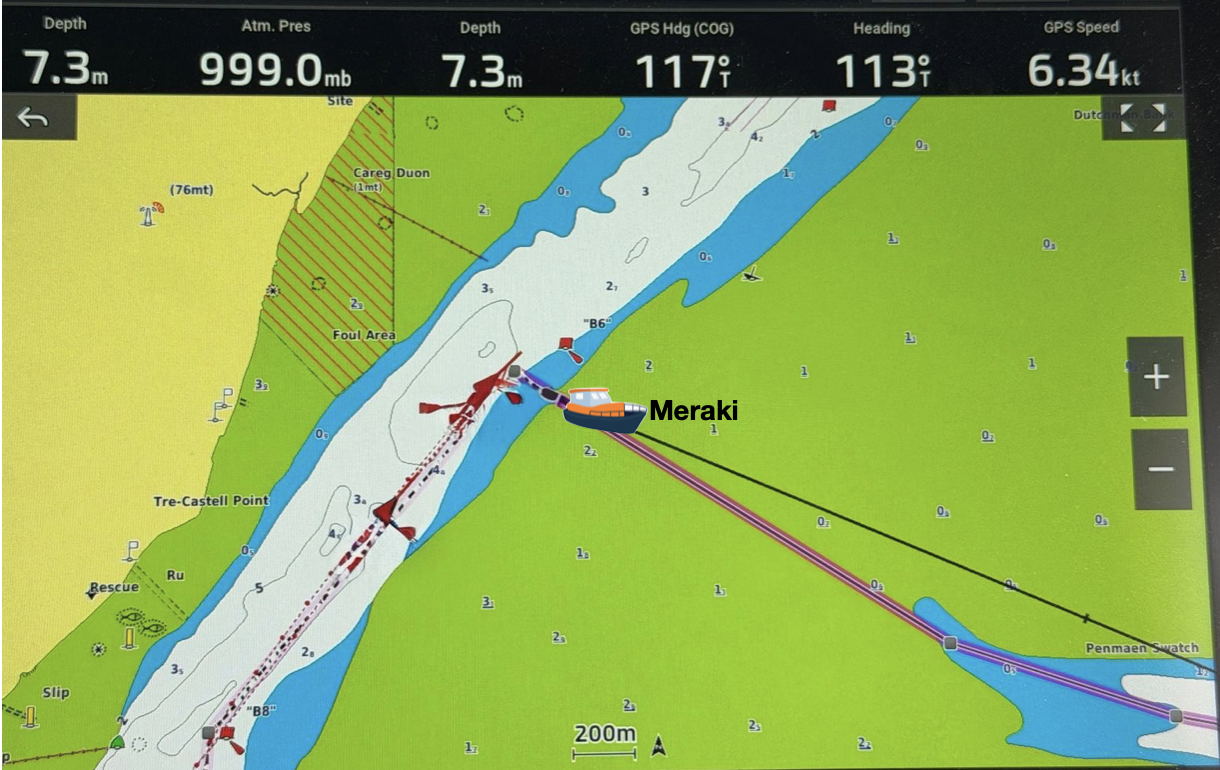
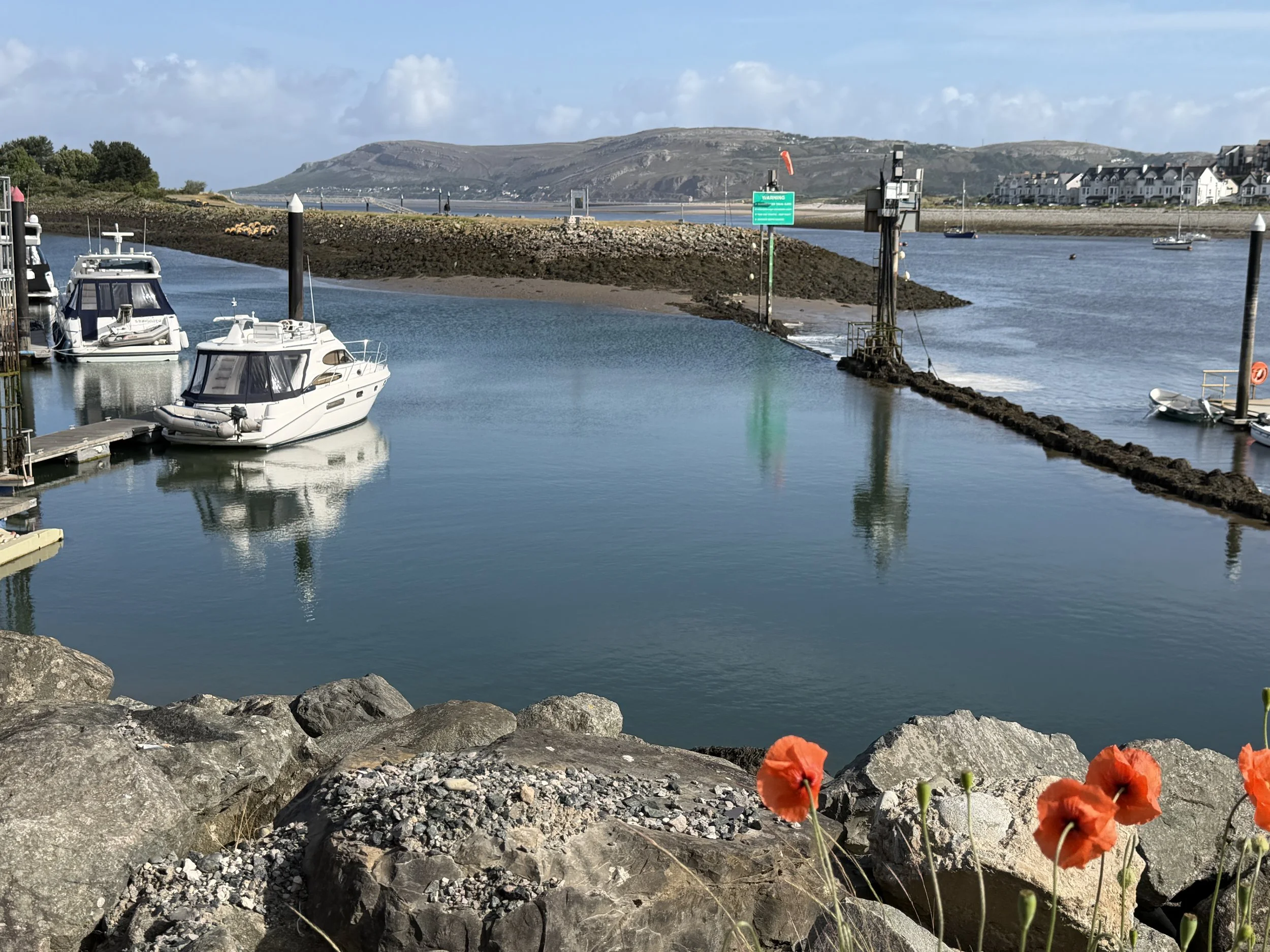
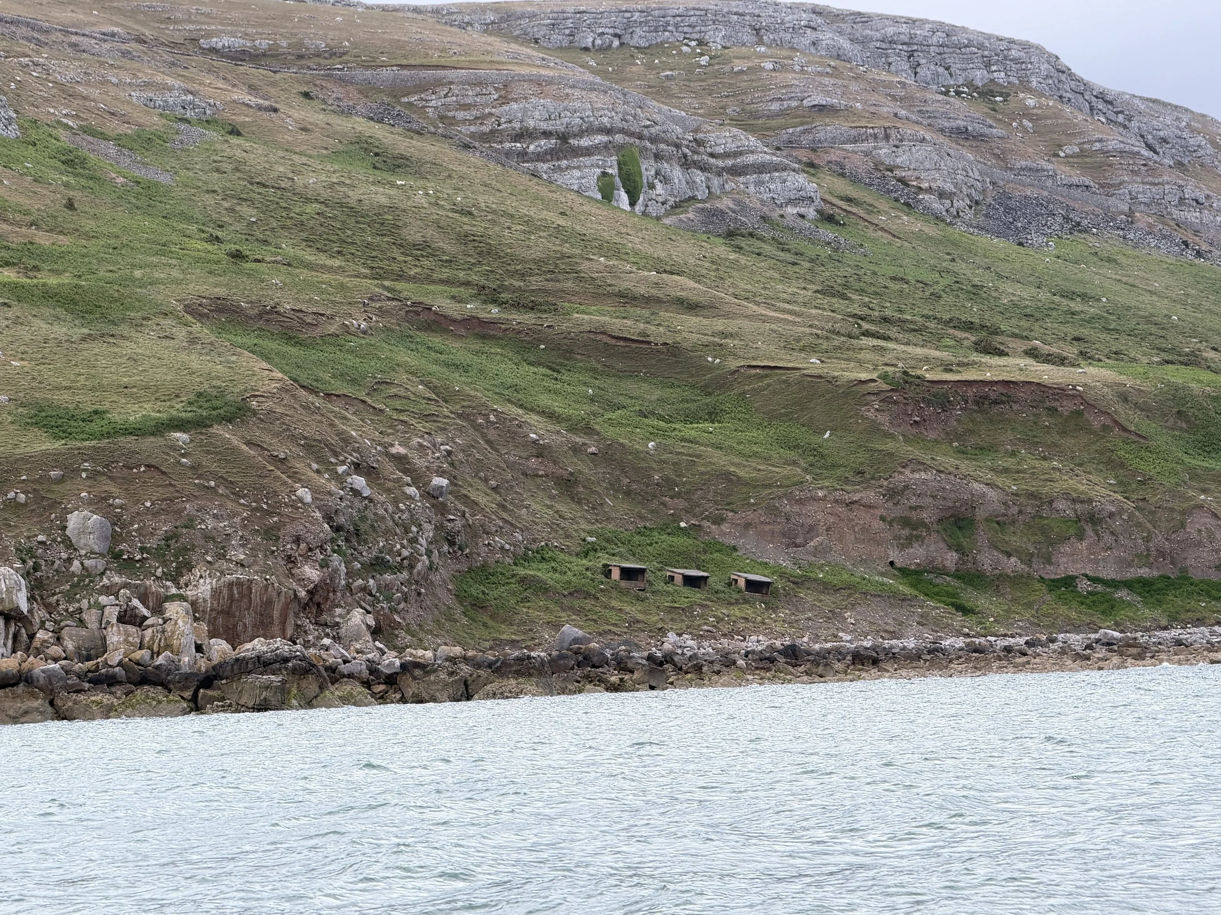
The shortcut took us across an area that is dry at low tide.
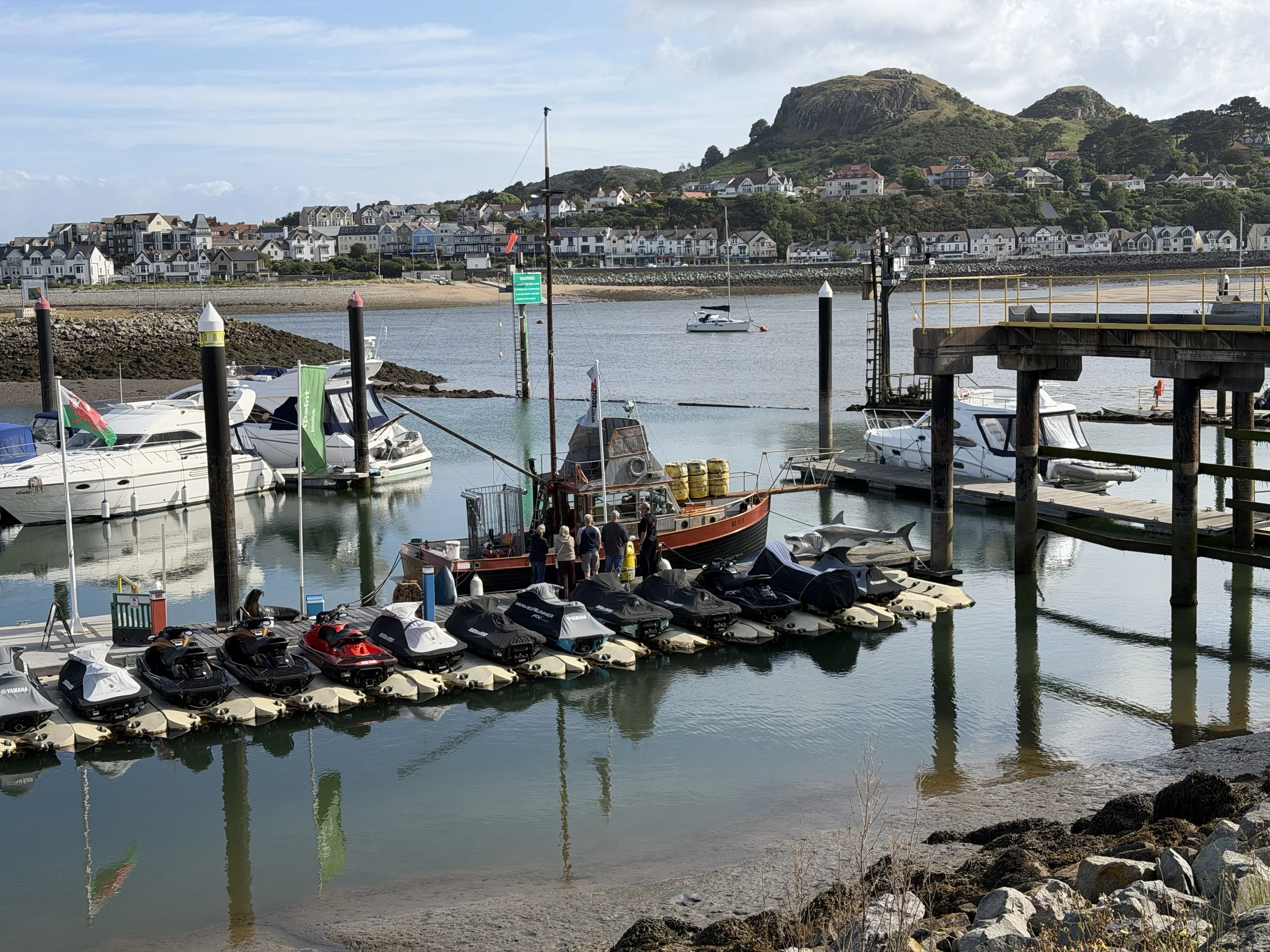
Now that the worst was behind us we continued north. Our end goal was to reach the Conwy marina. Like most harbors in these waters, passage to and from is only feasible at certain times of day. We had met a couple of sailors who were from Conwy and they had told us about a shortcut into the River Conwy and explained how to navigate it. Local knowledge is ALWAYS best so we followed their route.
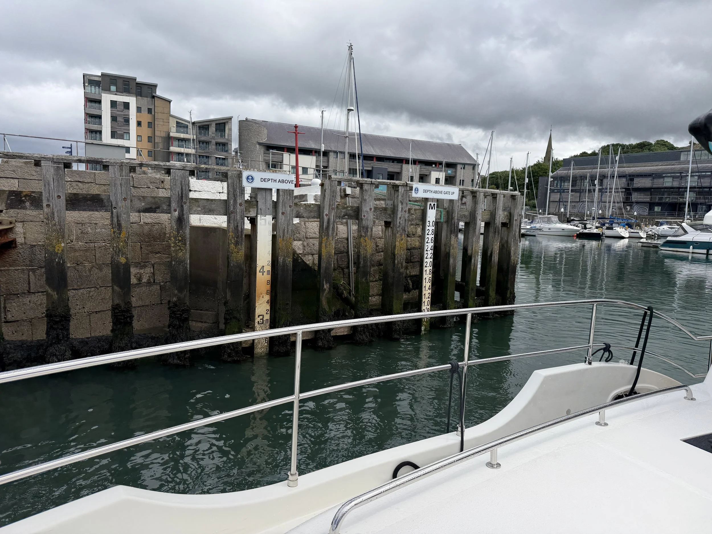
Taking the cutoff took about an hour off our passage and made a comfortable arrival at the marina entrance. The sill gate was lowered and we cruised straight in. We backed in between a couple of other boats and folks along the dock jumped up to catch our lines. Sailors in these waters are incredibly kind.
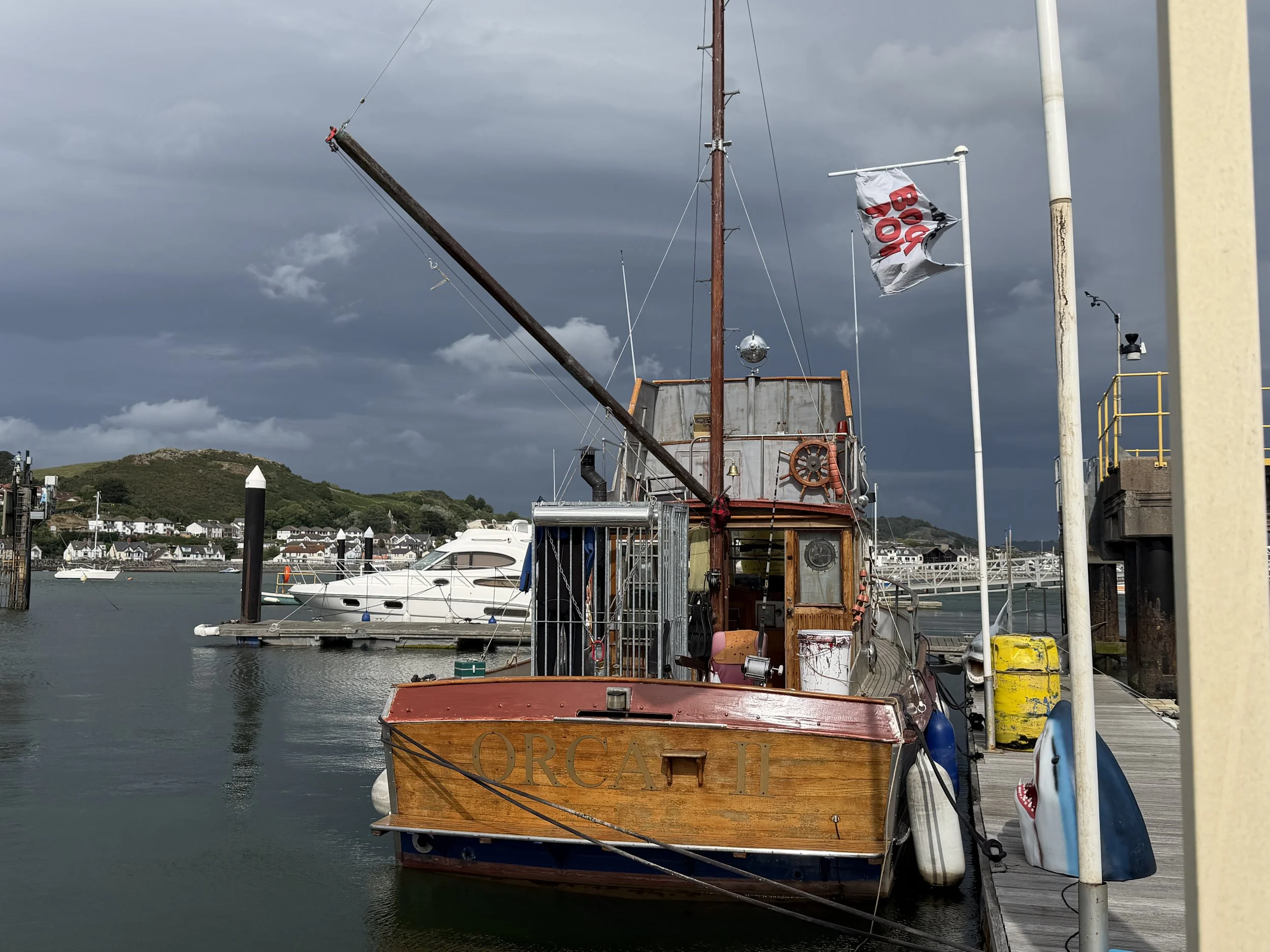
We walked the dock up to the marina office and noticed a boat with a large shark cage on the back deck. Turns out someone had built an exact replica of the boat from the movie Jaws complete with a life-sized plastic shark. Apparently we’d just missed Steven Spielberg who had come to town to check it out.

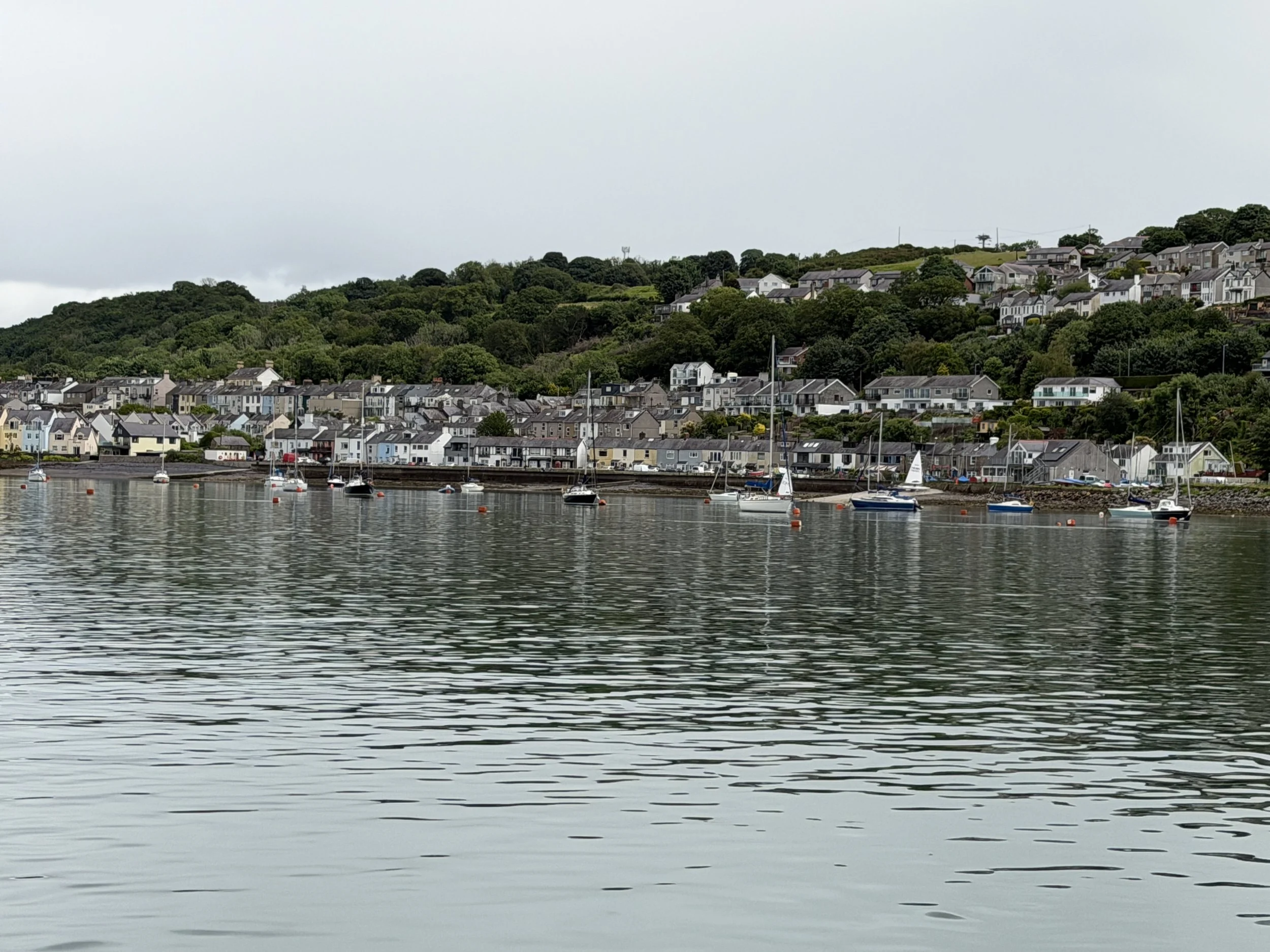
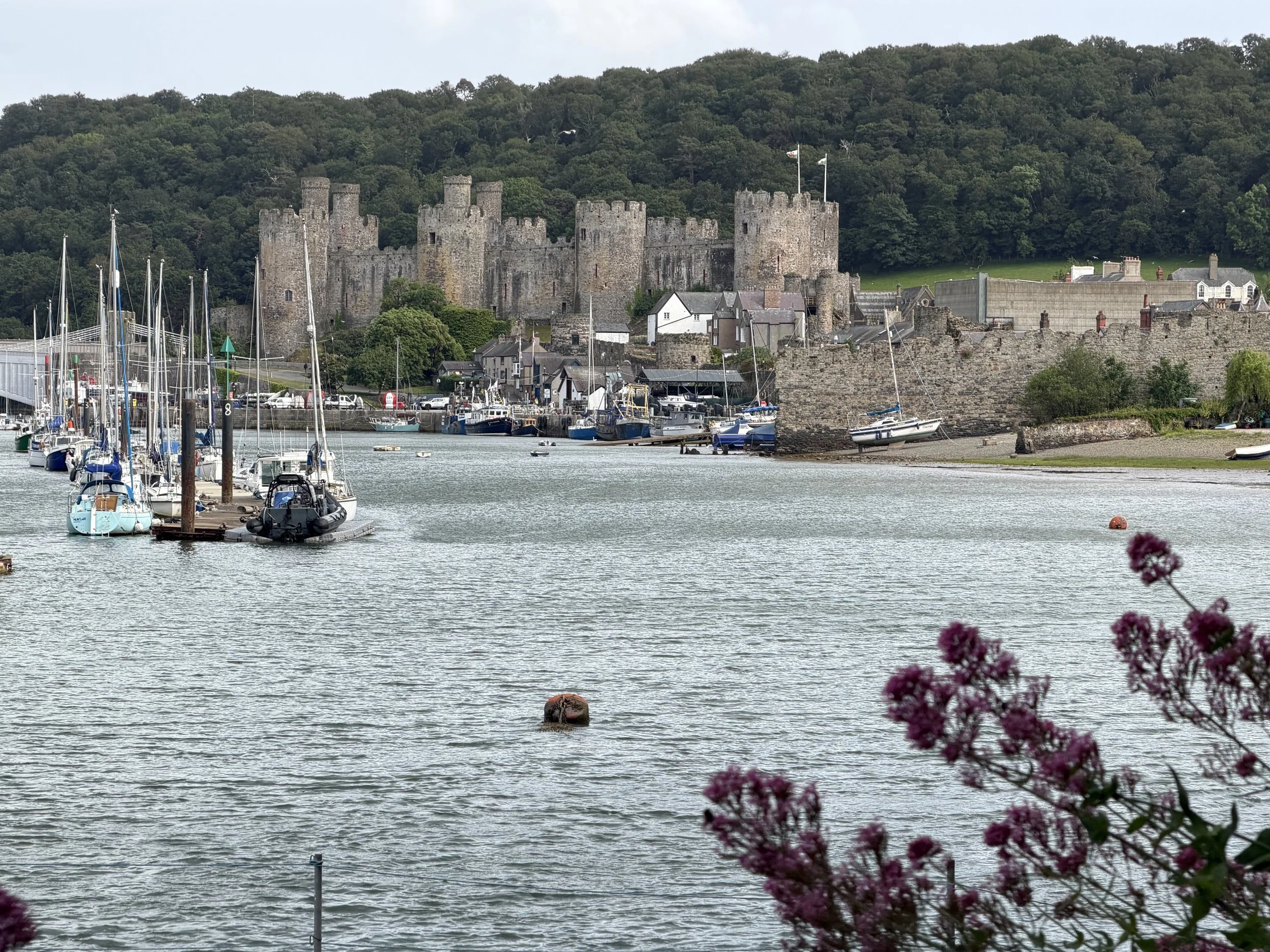
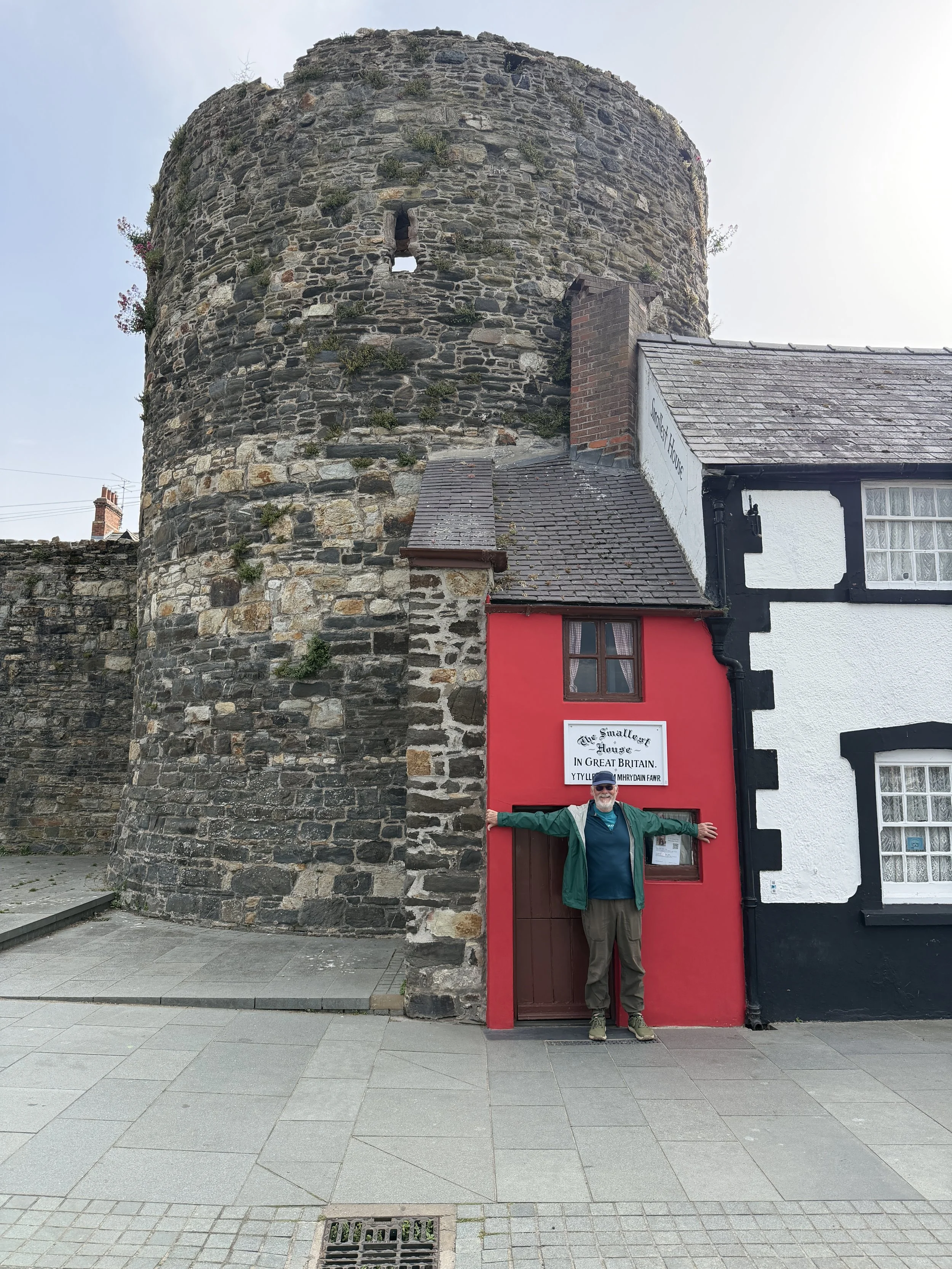
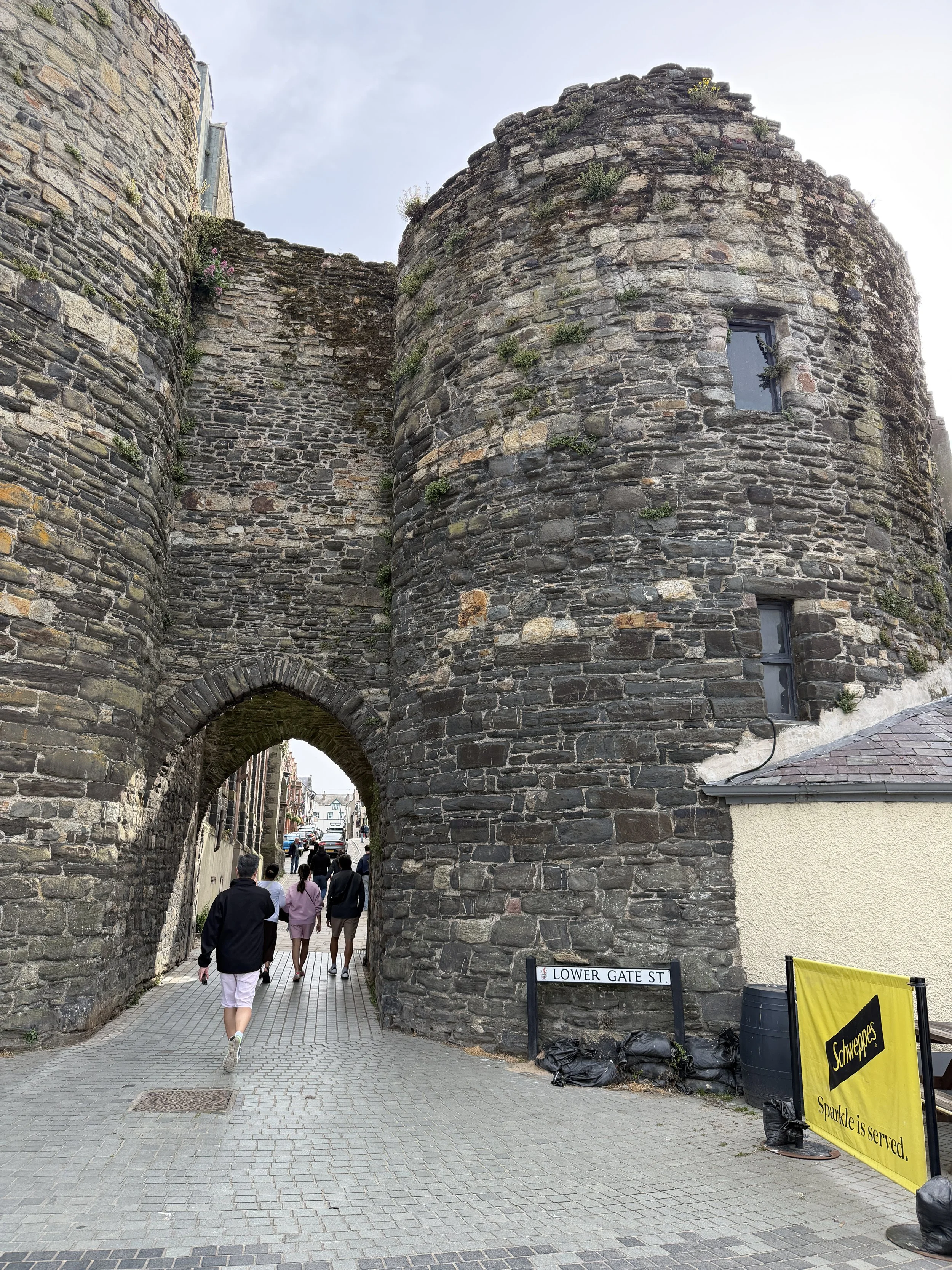
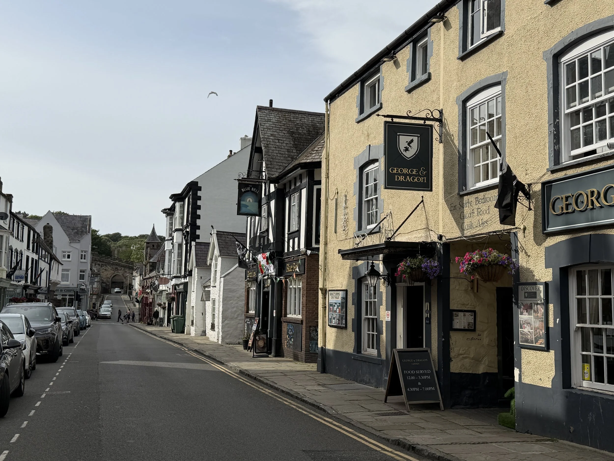
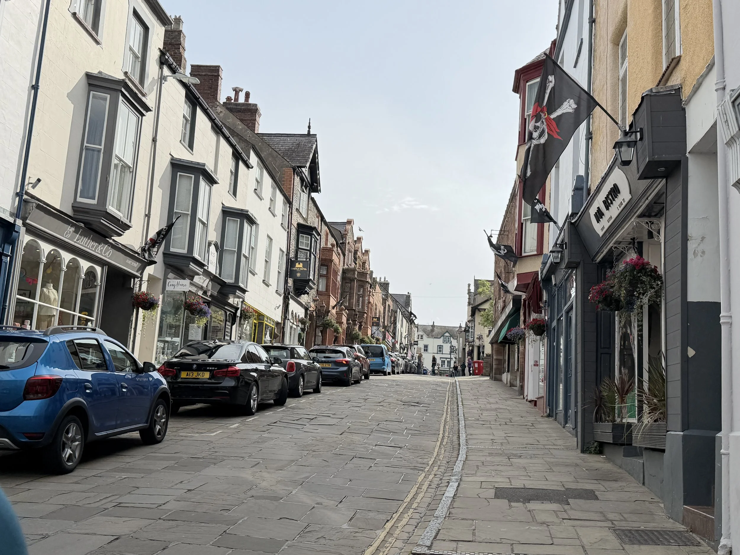
Conwy is a walled market town with a another of Edward I's fortifications and is a UNESCO World Heritage Site. You can climb the towers and walk the path along its walls.
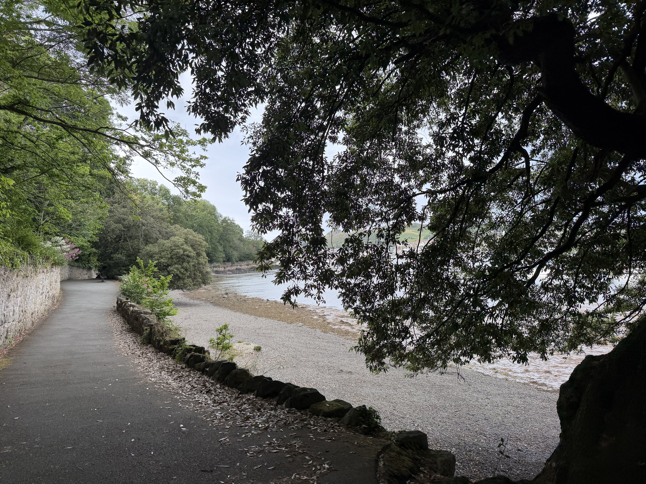
The estuary here is home to a thriving mussel industry. The Conwy mussels are larger than most and have a more colorful shell. They get their unique taste from the fact that the saltwater from the sea and fresh river water here are mixed. We had just eaten when we strolled down the quay so we didn’t sample them but it is said that the Conwy mussels are tastier, fatter and juicier than the rope grown variety.
We spent a couple of days in Conwy, waiting on weather and planning our route to Liverpool where we had arranged to leave the boat for a week while we travel to Copenhagen to visit friends. We took another shortcut which led us into the Mersey River and cruised 4.3 miles upstream to the entrance to the marina. The entrance is controlled by a lock which only operates at specific times. The transit would take about 9 hours but the timing of the tides would not allow us to travel direct.
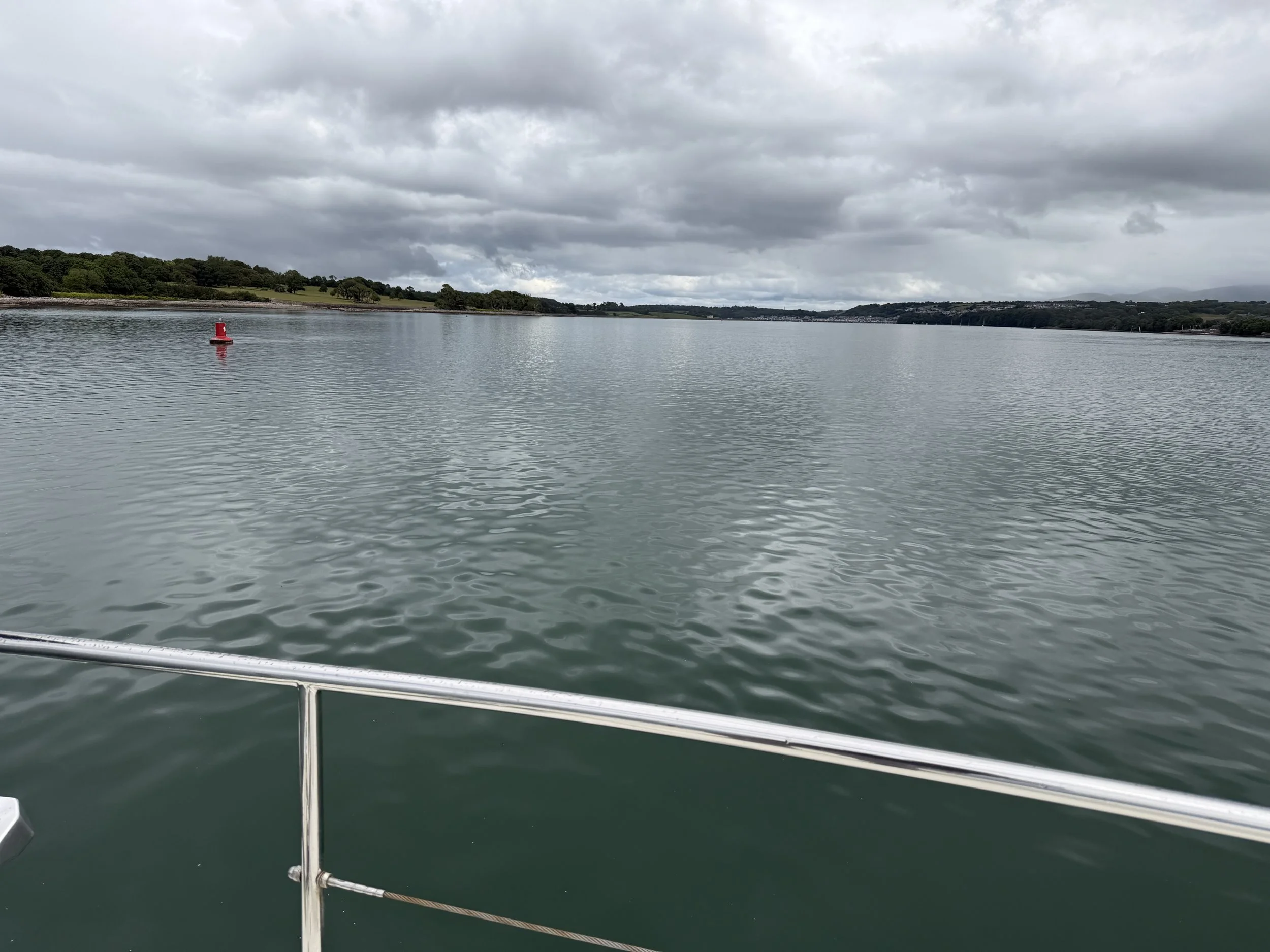
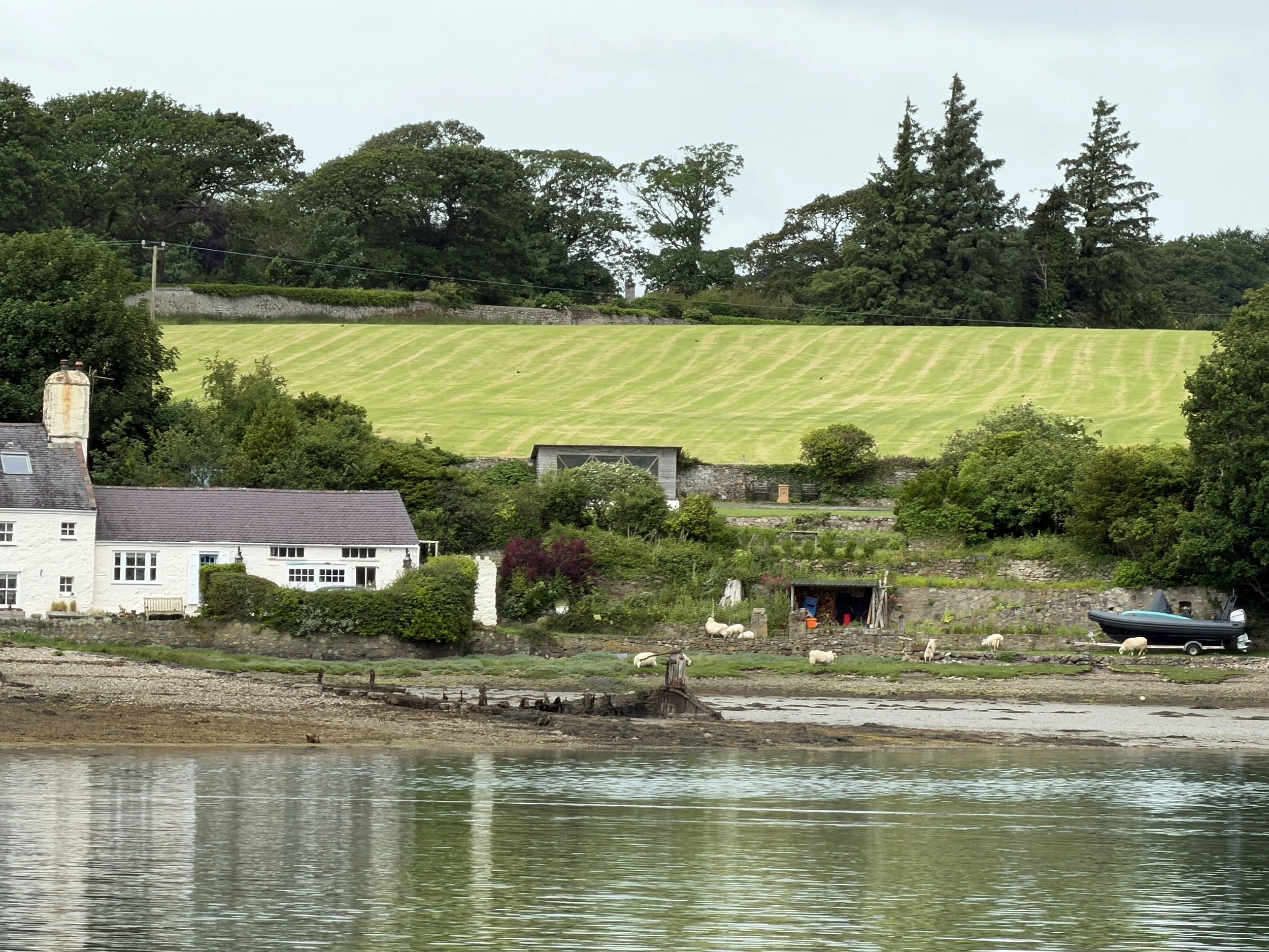
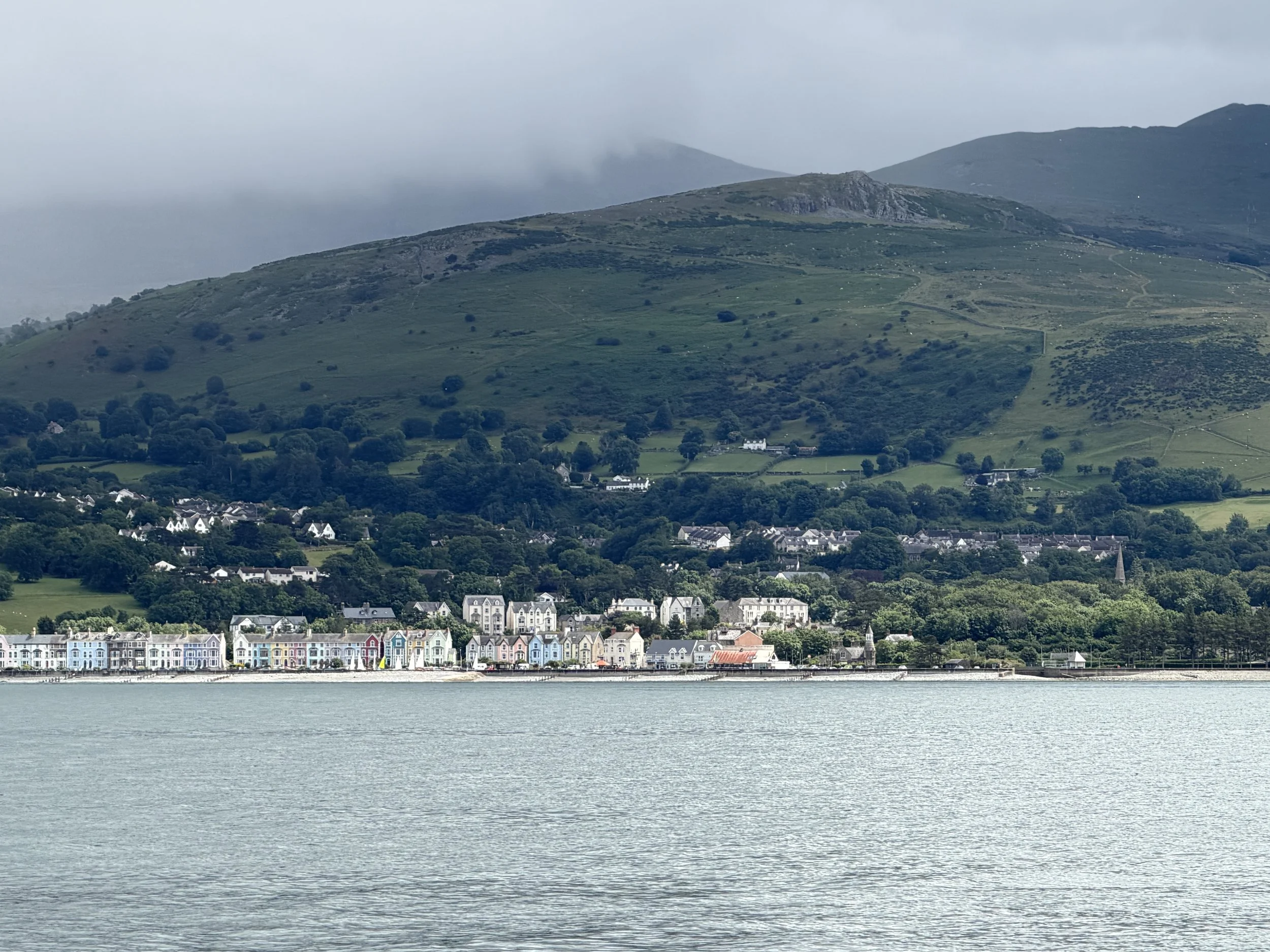
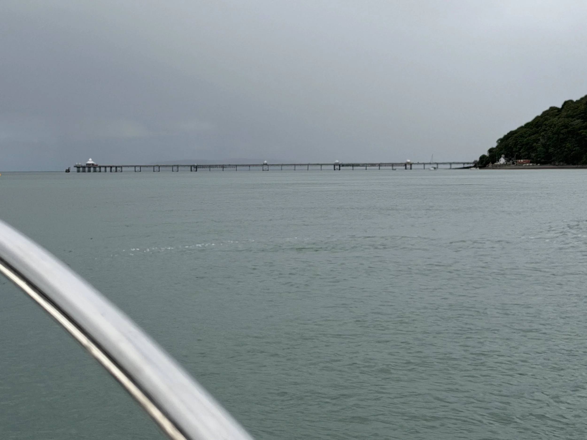
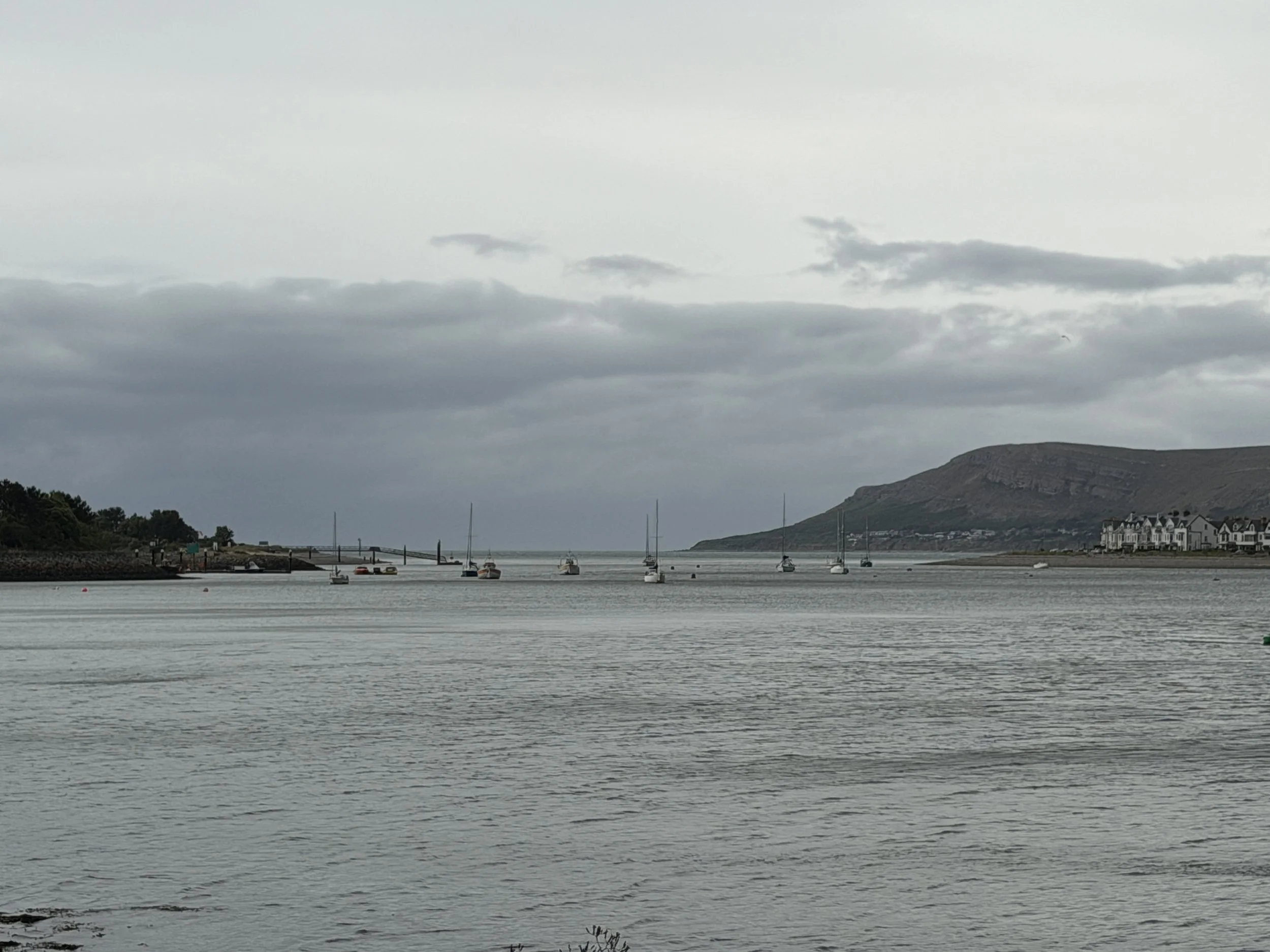
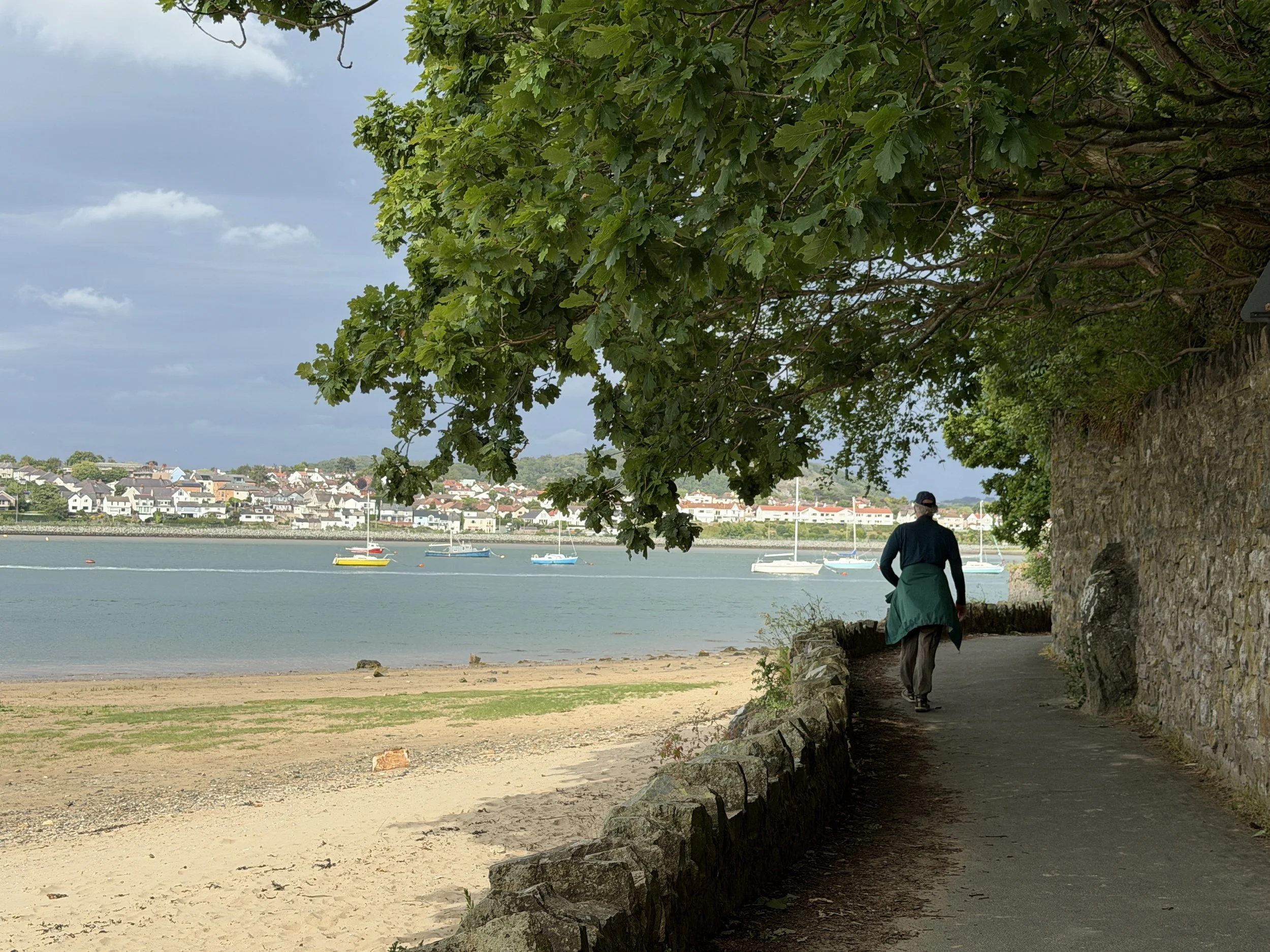
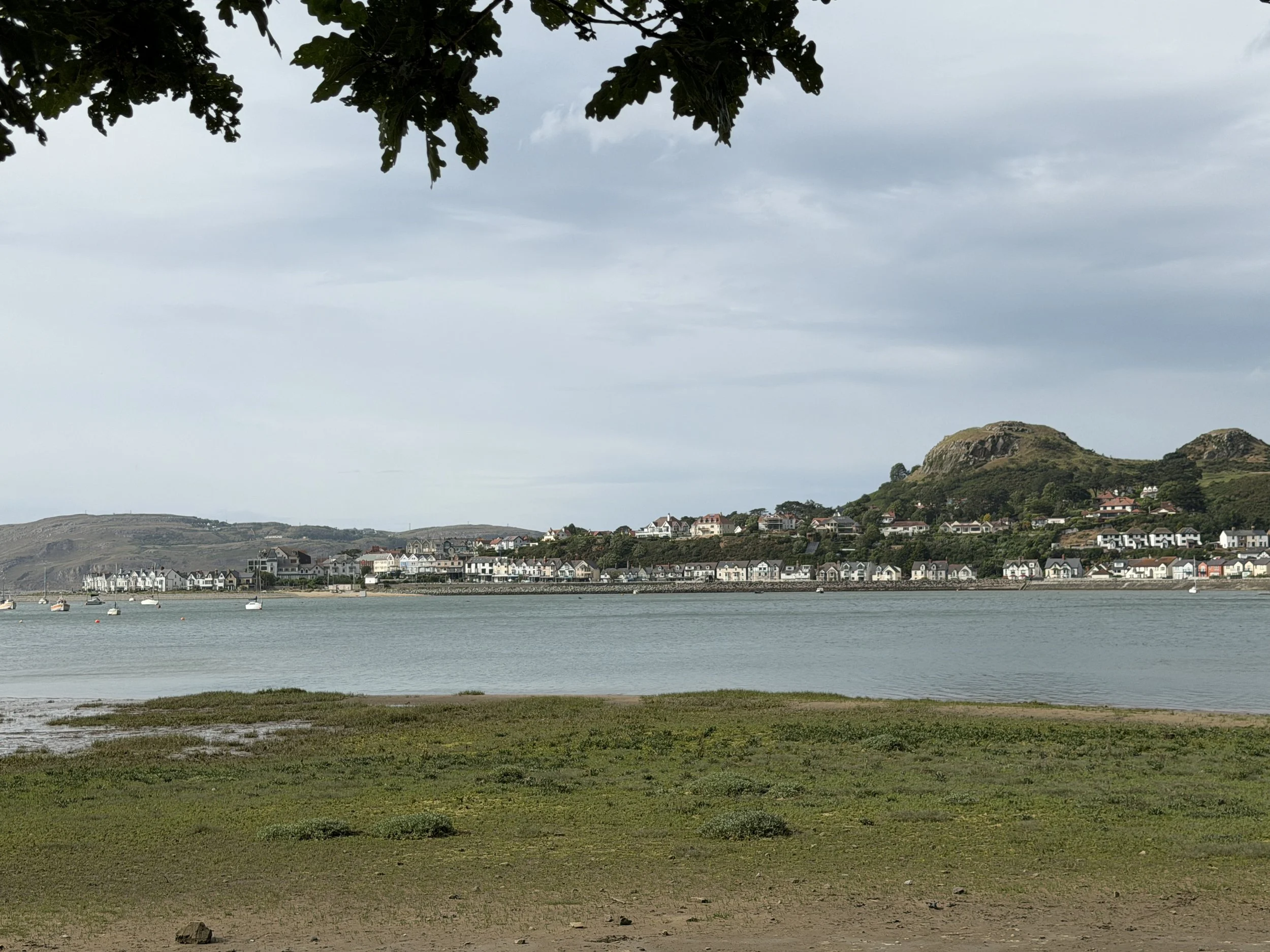
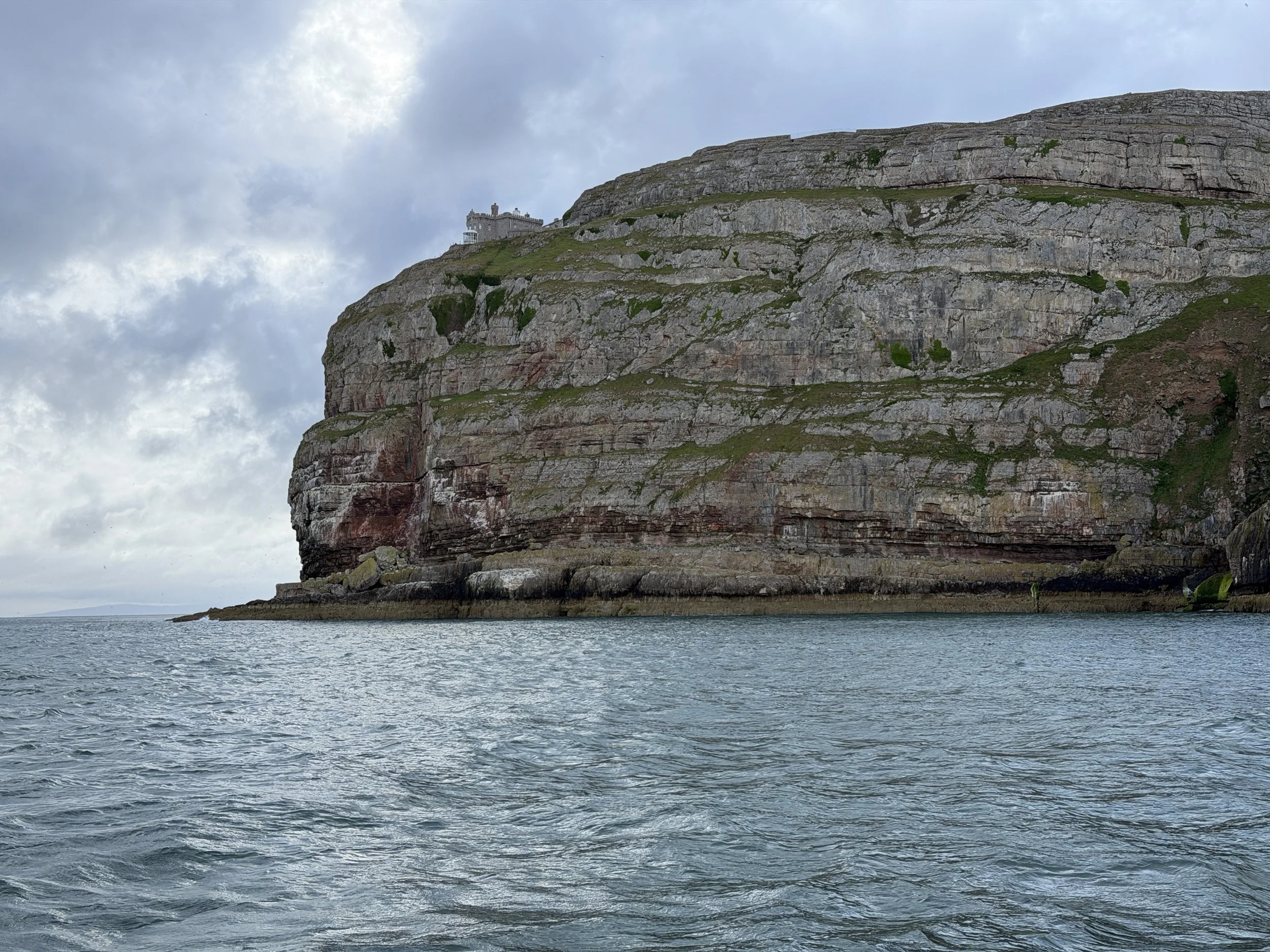
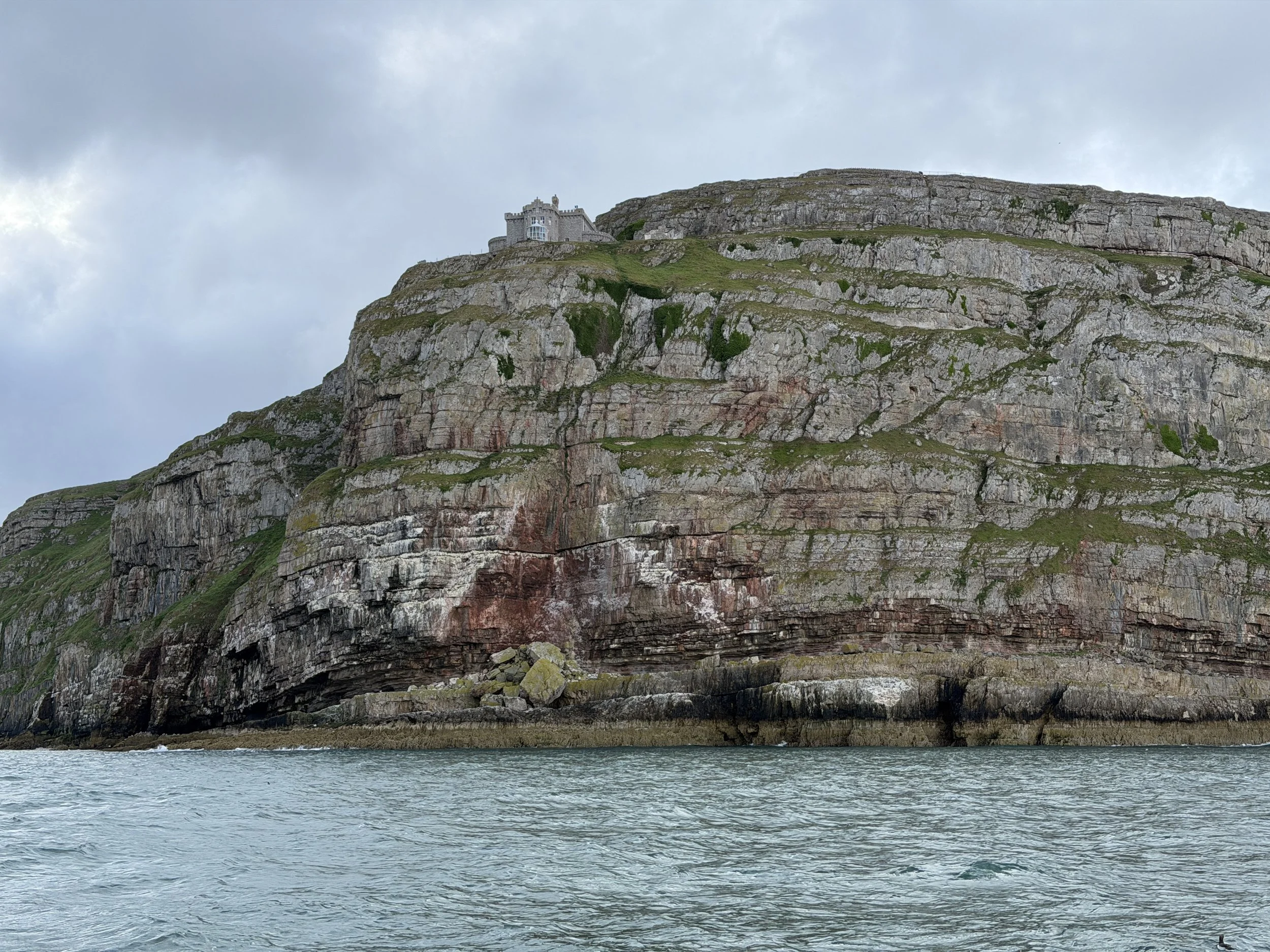
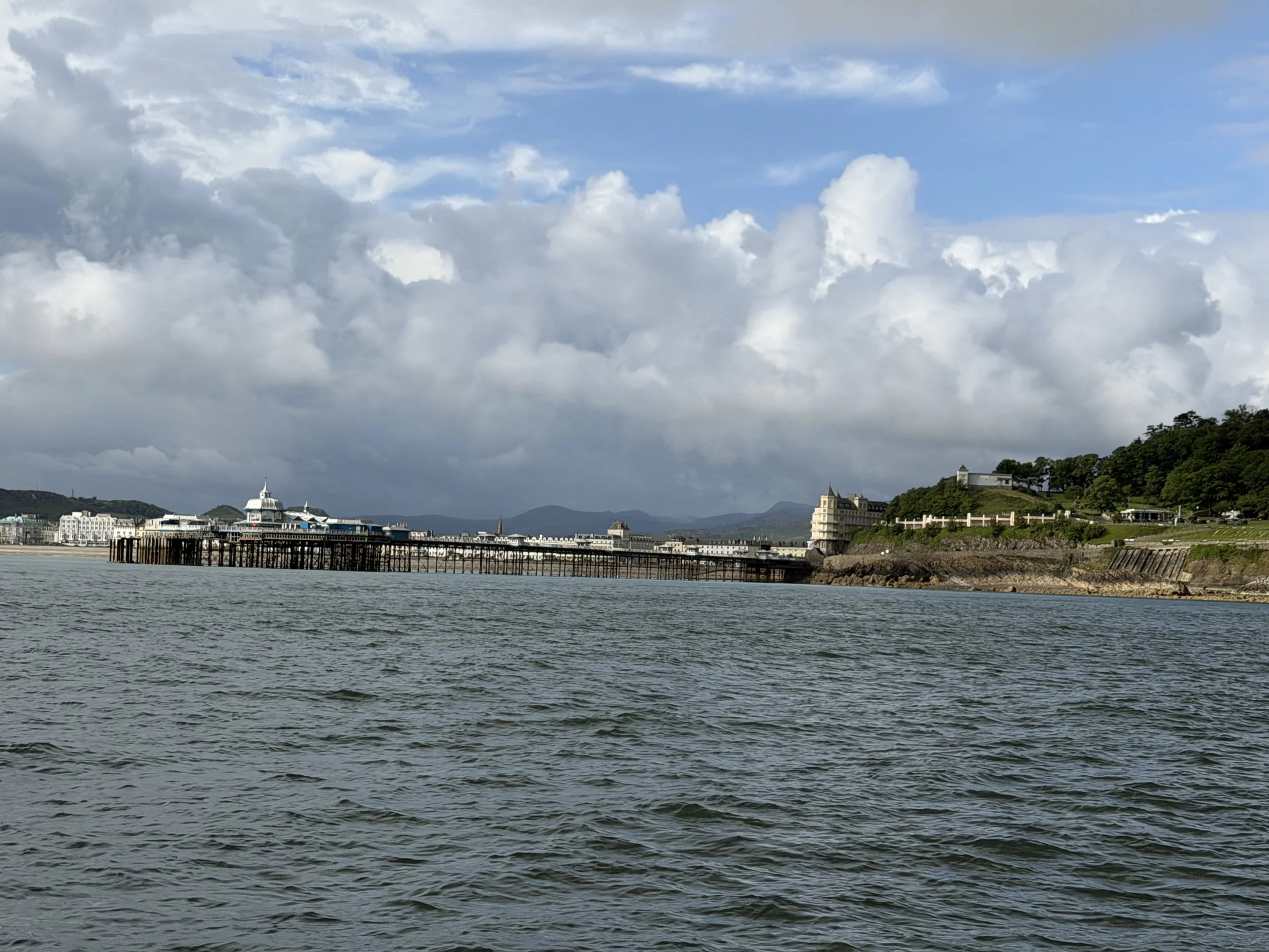
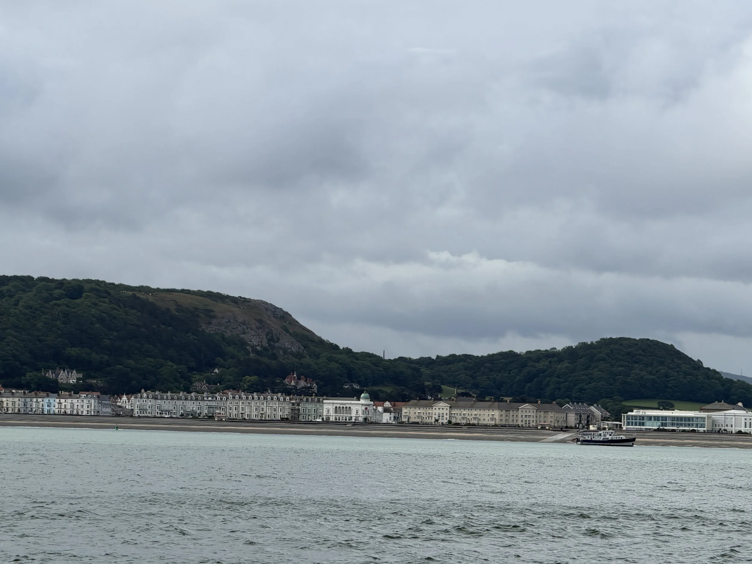
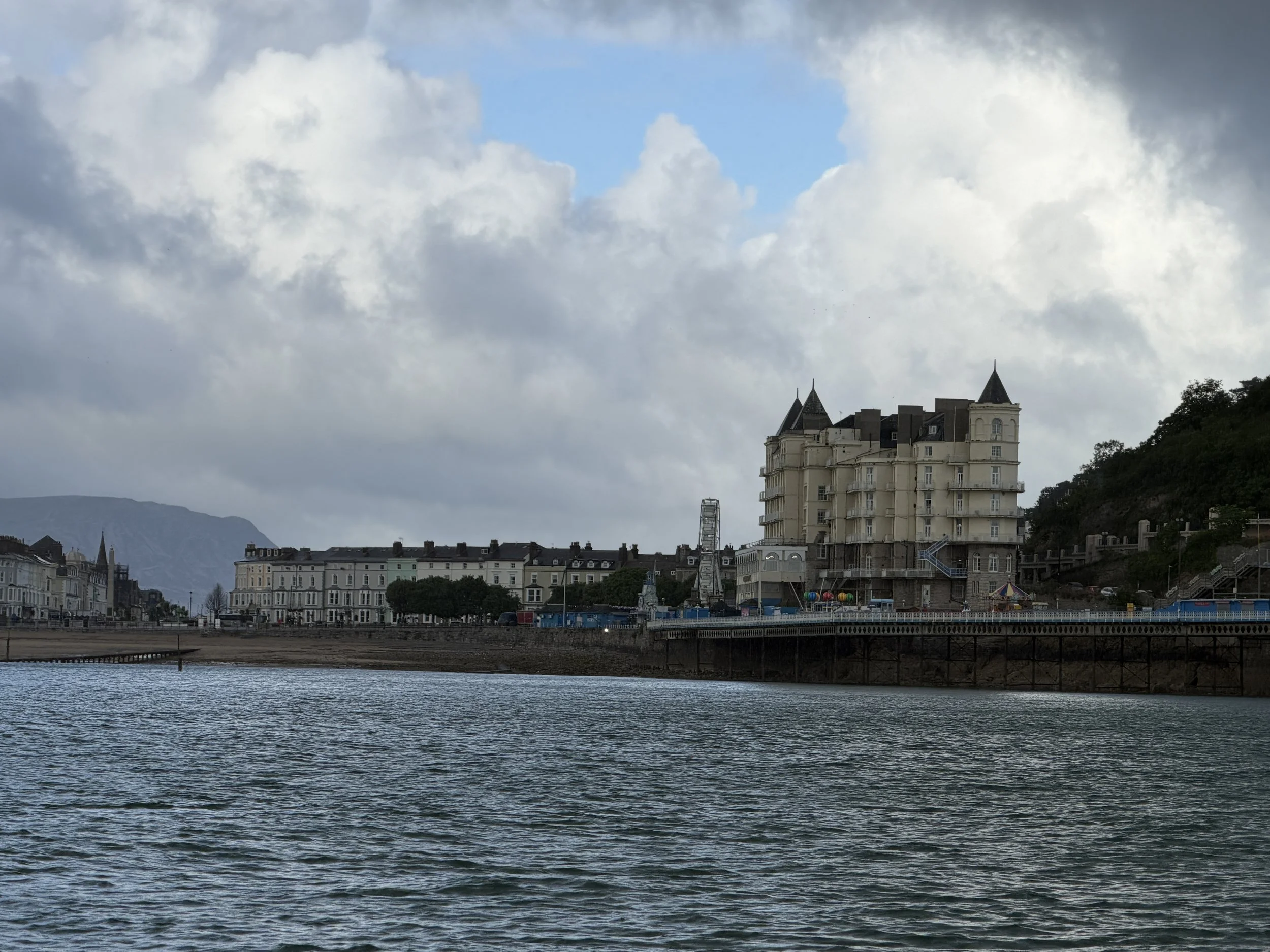
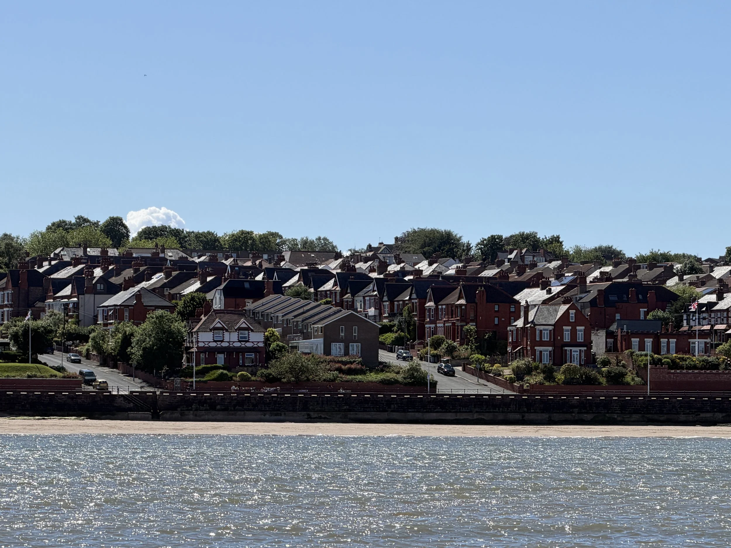
We had to leave Conwy early to have enough water to cross the sill and navigate the river on the outgoing tide and rounded the next headland into an anchorage where we had planned to layover, make breakfast and relax for a couple of hours. This would then put us on an arrival at the River Mersey with enough water and when the current would be with us, and hopefully time out about right for the lock operation into Liverpool Marina. We dropped anchor in the bay in front of the town of Llandudno, a touristy resort town in north Wales known for it’s 19th century pier with shops and an arcade. There was one other boat in the bay when we dropped the hook. We had hoped it would be protected from the swell and provide a comfortable stopover but it was not what we found. Our planned two hour layover was cut short when we realized it would be more comfortable to be underway at a slower speed than to sit idle. This was our last stop in Wales.
We had a quick breakfast (crumpets with jam), and after most of an hour, we hoisted the anchor and moved on. This is a good time to talk about crumpets - which are not the same as english muffins. Crumpets are a yeasty pancake that’s cooked on a griddle. They have an open texture from air bubbles rising to the surface as they cook, like side one of a pancake, and are often topped with butter, jam, and clotted cream. English muffins on the other hand are also cooked on the stove top in a cast iron pan or griddle. But they are made of a firmer bread dough and are flipped and cooked on both sides. Before cooking they are normally coated on the top and bottom with semolina flour.
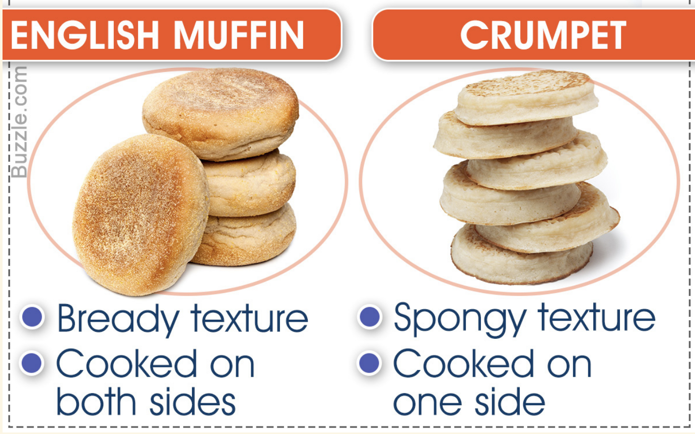
While their name suggests that they originate in England, English muffins are not actually English. The roots run back to the 10th century in Wales and were made from a yeast-leavened baked cake. That said, the English muffin is the brainchild of British expat Samuel Bath Thomas who, in 1874, emigrated from his homeland of Plymouth, England, to the United States. Thomas found work in a New York City bakery and developed his own version of what he later trademarked as the “English Muffin”. In 1880, he launched his own bakery and sold his version of the crumpet — a pre-cut, thinner version known for its signature nooks and crannies. And there you have it. Now, don't get me started on the difference between biscuits and scones.
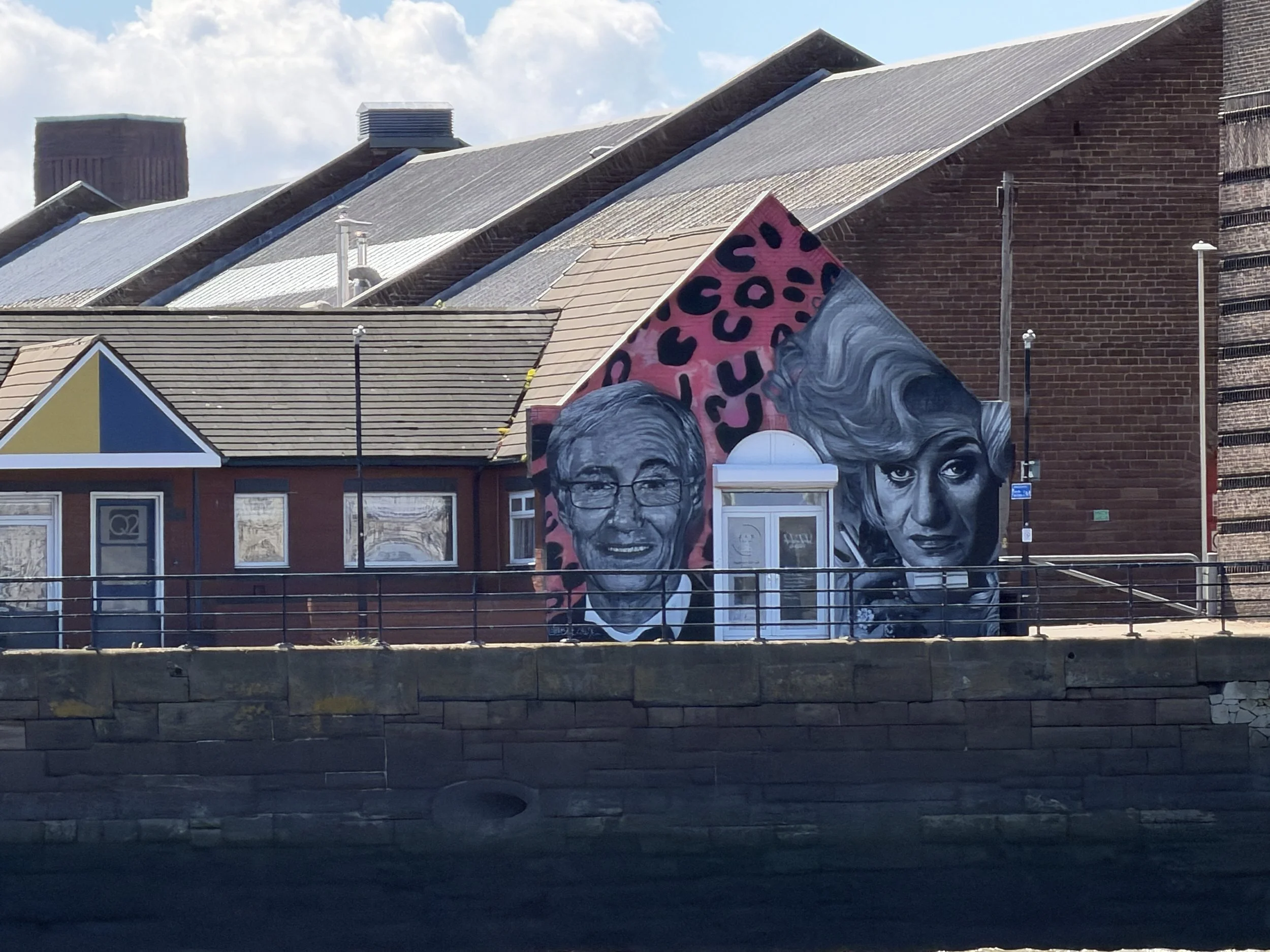
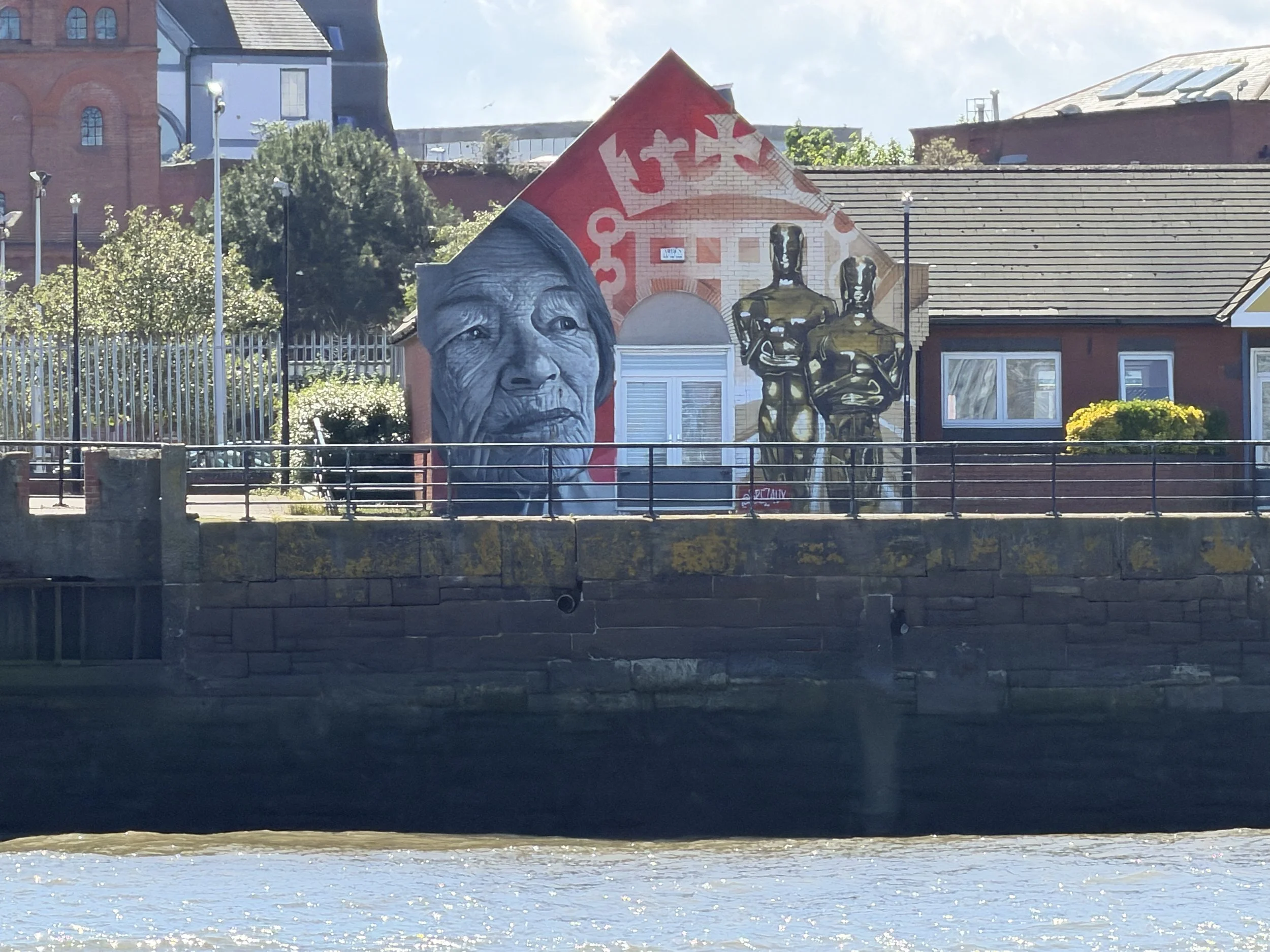
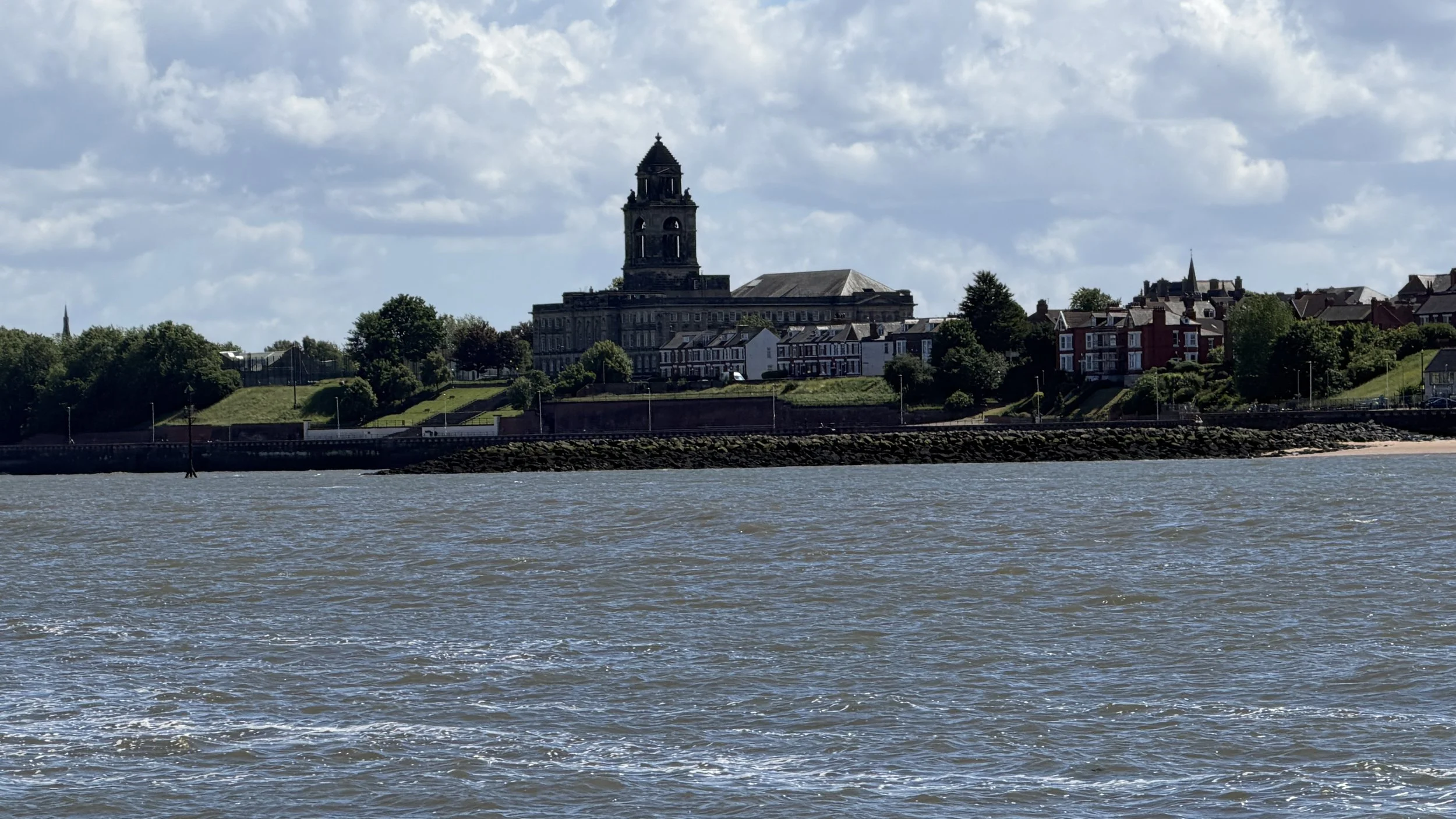
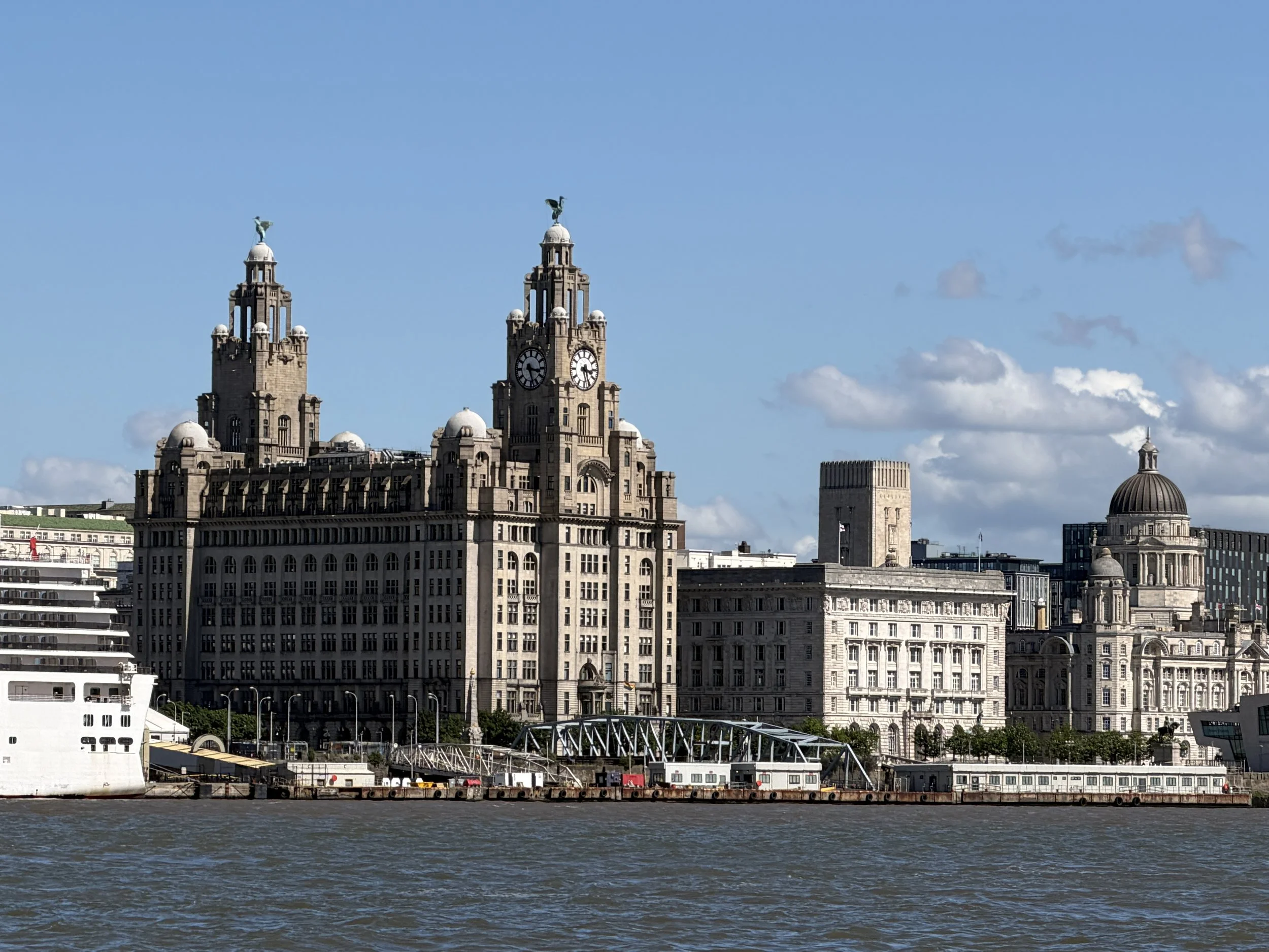
Several hours later (and still a bit hungry) we arrived at the mouth of the River Mersey, an Anglo Saxon word which means boundary, an apt title as for many centuries the river was the county line that divided the two English counties of Cheshire and Lancashire. This muddy river is what gives the city of Liverpool it's name - liver colored pool of water.
The River Mersey was chosen as the location for Britain's largest, deep water port in 1717, a seven and a half mile area of docklands, wharfs and jetties. This deep channel experiences Britain's second (and the world's fourth) highest tidal range - four meter (13’) high neap tides and 10 meter (32’) high spring tides. During the eighteenth century Liverpool's Mersey Docks became Britain's busiest port transporting Cheshire salt, Lancashire coal and textiles, Staffordshire pottery, Birmingham metal wares and Welsh sheep. It also became a leading port in the transportation of spices and bananas into the country.
River Mersey was once notoriously dubbed the most polluted river in Western Europe. In an effort to rid the estuary of its unenviable title, in 1981 a clean-up scheme was designed to counteract the years of neglect. There’s still a long way to go, while many of the highly dangerous pollutants are decreasing, there are new contaminants finding their way into the waterway.
In recent years as the Mersey became less used for industry and more importantly recognized as a place of environmental interest, water quality improvements means the river now supports salmon, trout, lamprey and dace. The increase in the numbers of fish in the river has encouraged a number of other animals to return to the estuary. These include porpoises, grey seals and even octopus. An area around the Port of Liverpool has been designated as the Seaforth Nature Reserve, a thirty acre area of both freshwater and saltwater lagoons that house a myriad of sea and wading birds.
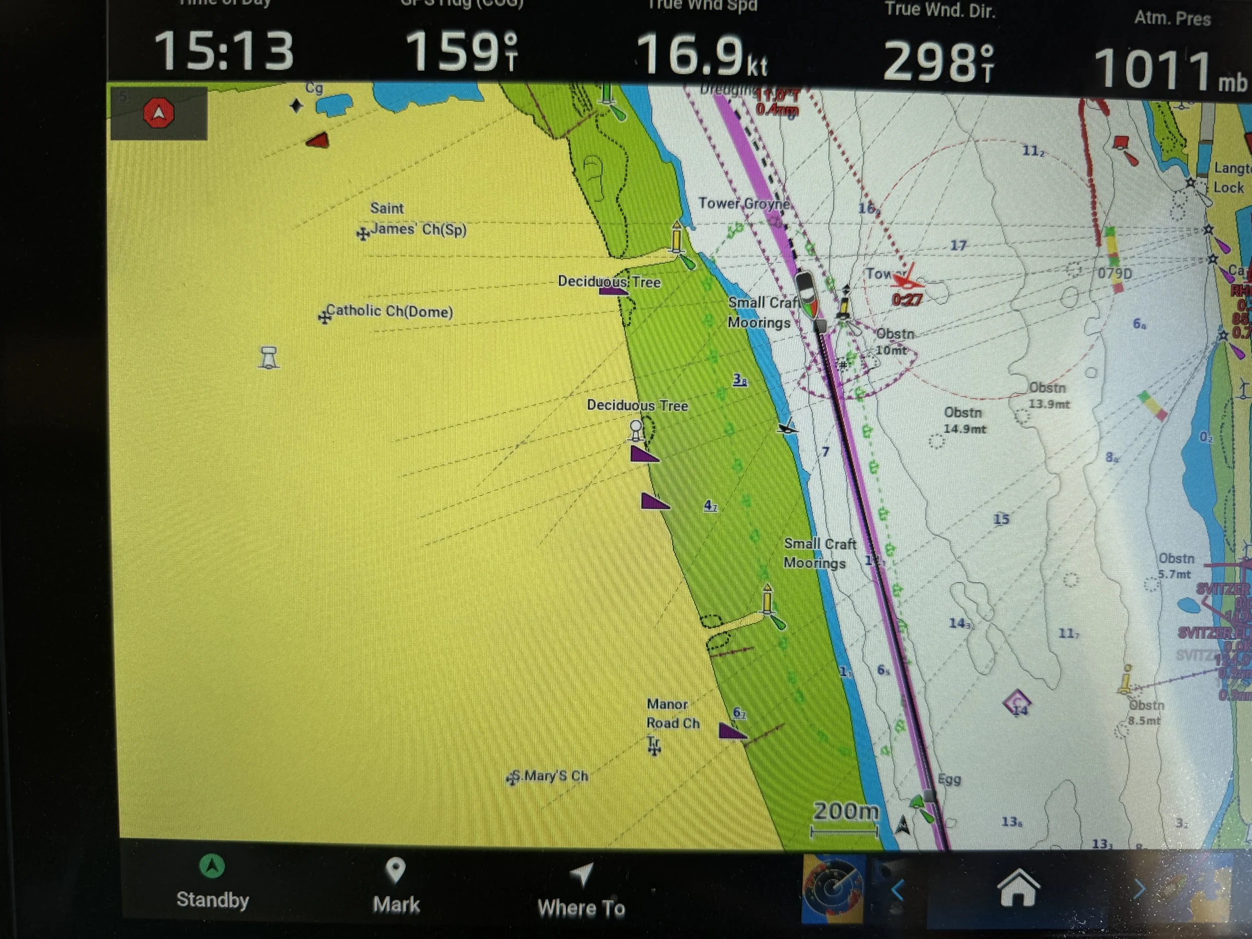

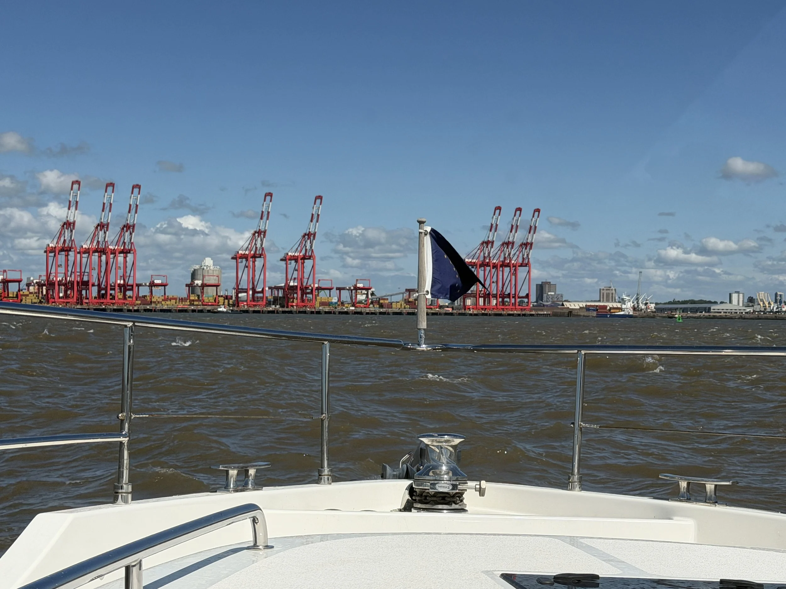
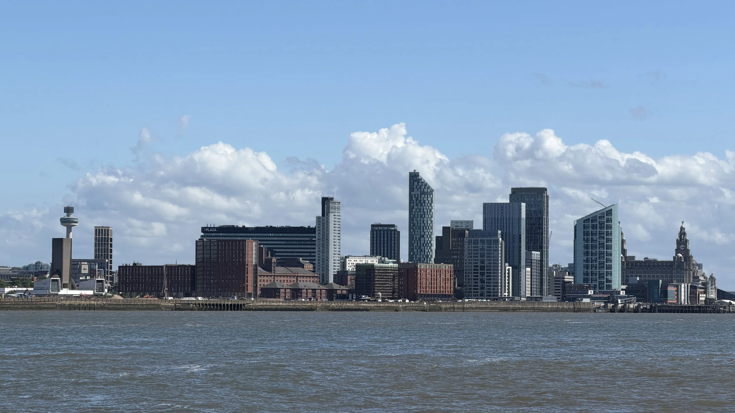
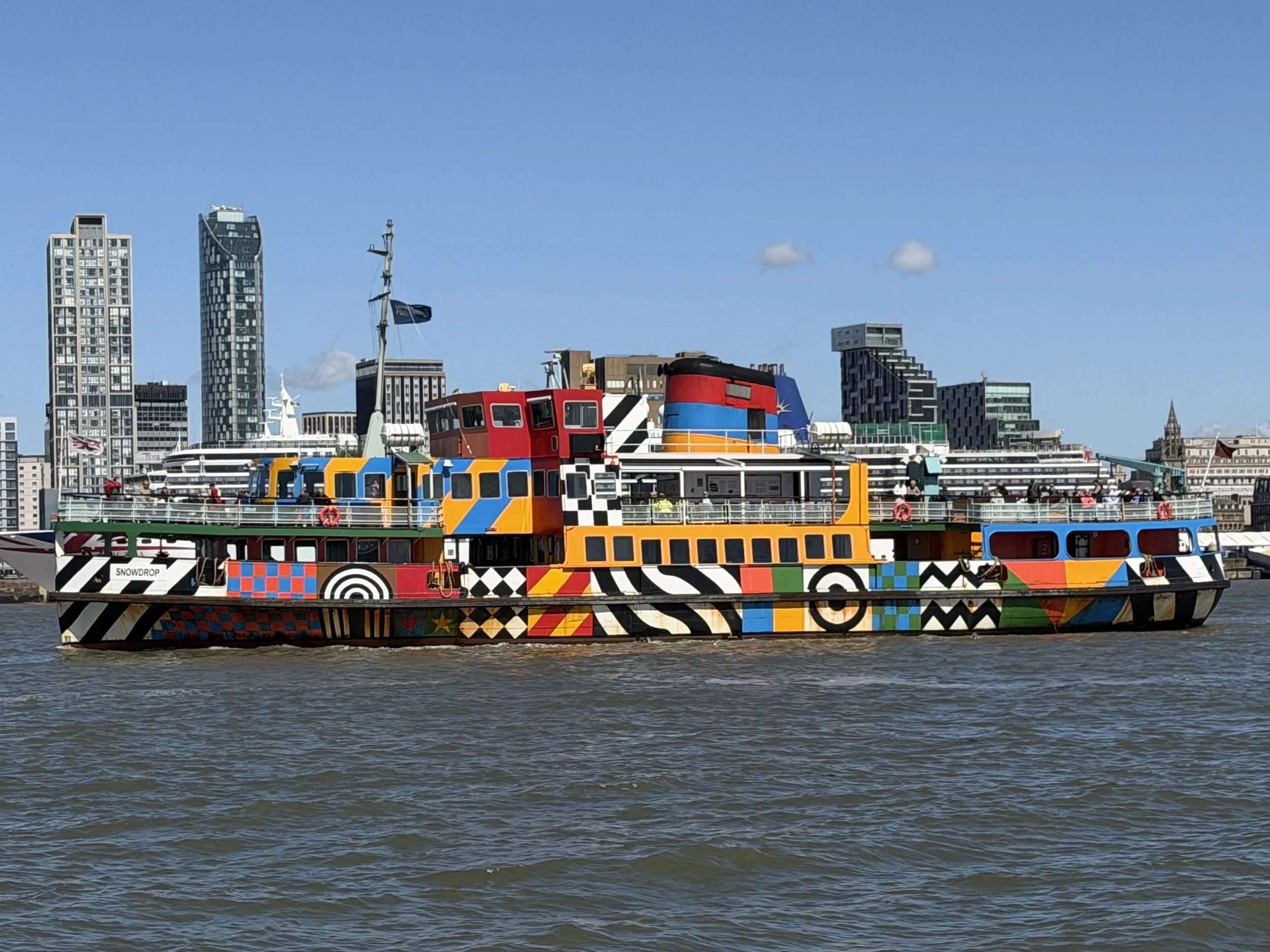
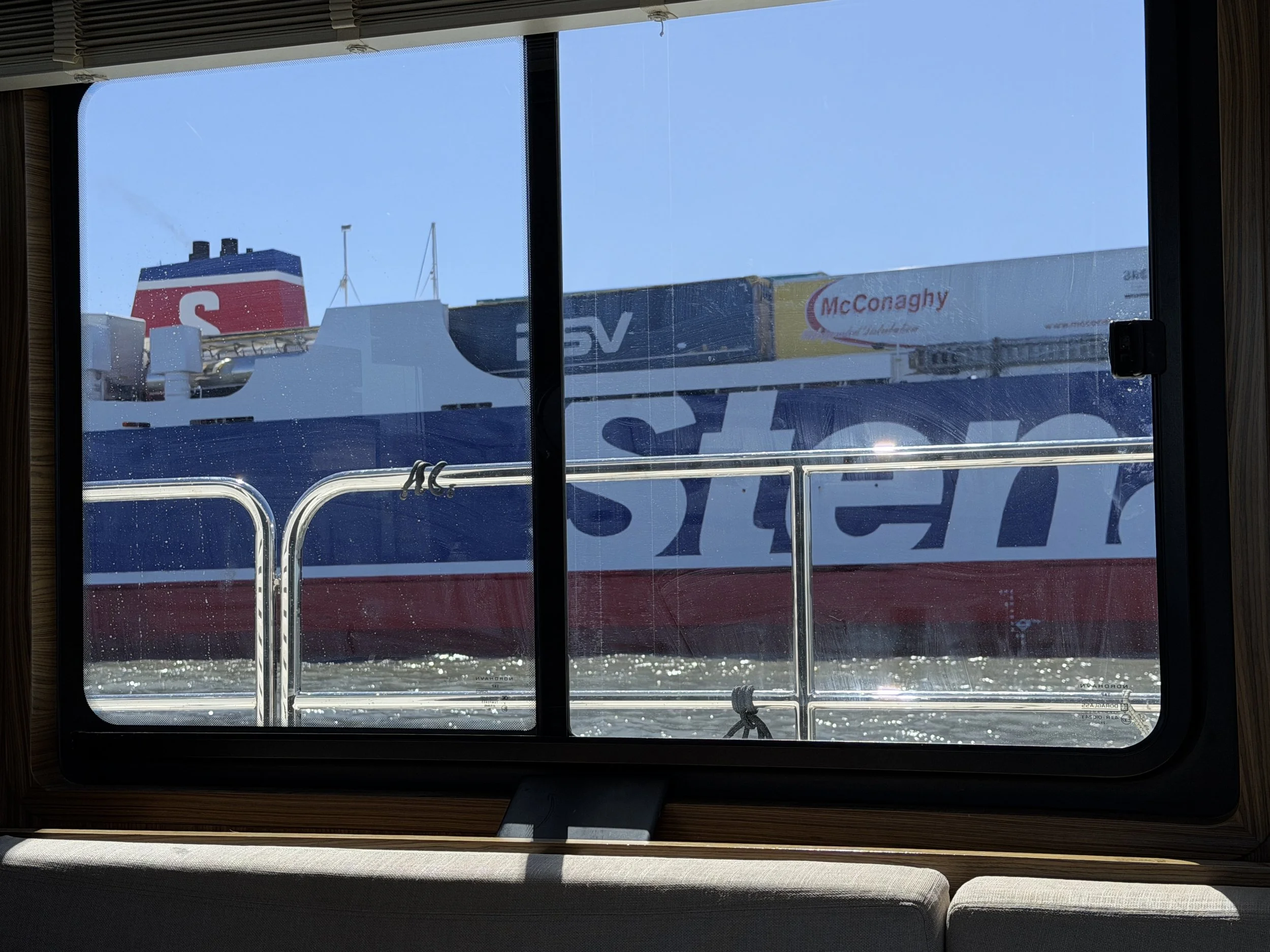
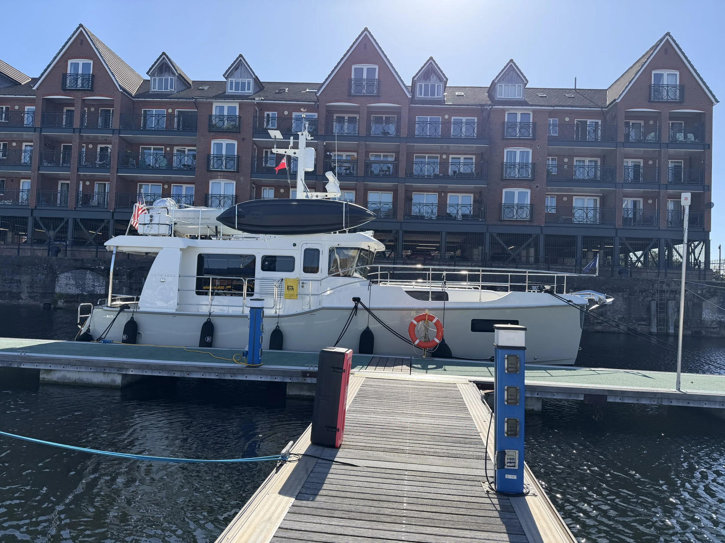
The current in the choppy, muddy brown water was with us and carried us up the river as we steered clear of the shipping lanes and navigated around wildly painted ferries, tour boats, and cargo ships. We arrived at the lock to enter the marina ten minutes ahead of schedule and waited in the choppy water for the lock to open. Following another boat through the lock we found our way to the end of a pontoon where we were greeted by a dock master who caught our lines. Such a lovely welcome after a long complicated day of cruising.
Note: photo captions will not appear if viewing on a cell phone.