

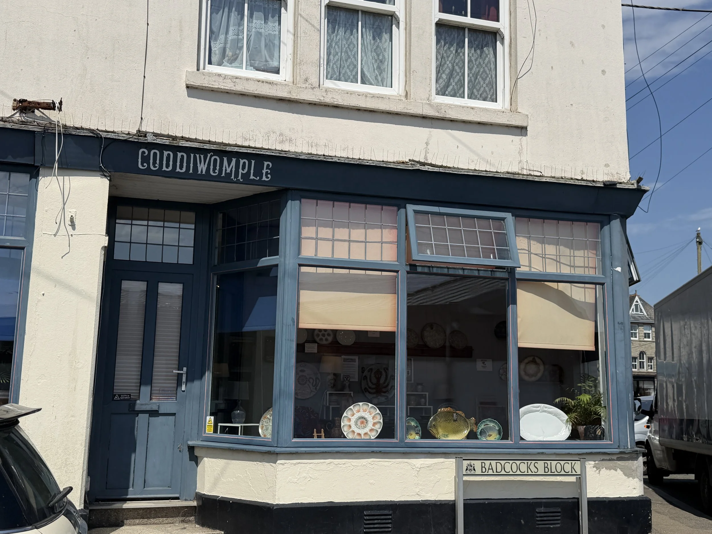
Into The Irish Sea
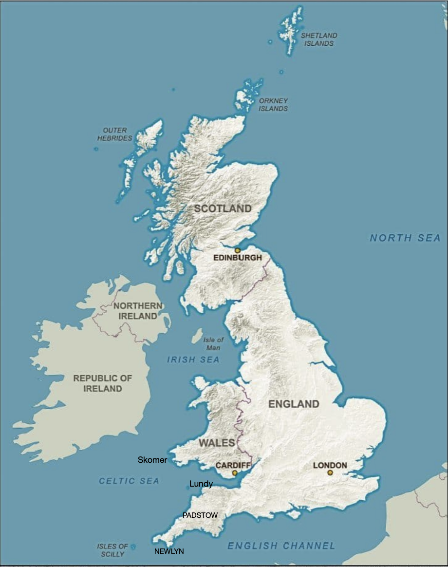
It’s important to know what The United Kingdom (UK), Britain, The British Isles, and Great Britain actually mean. I find this confusing because they are sometimes used interchangeably, and yet it is quite possible to offend without realizing it.
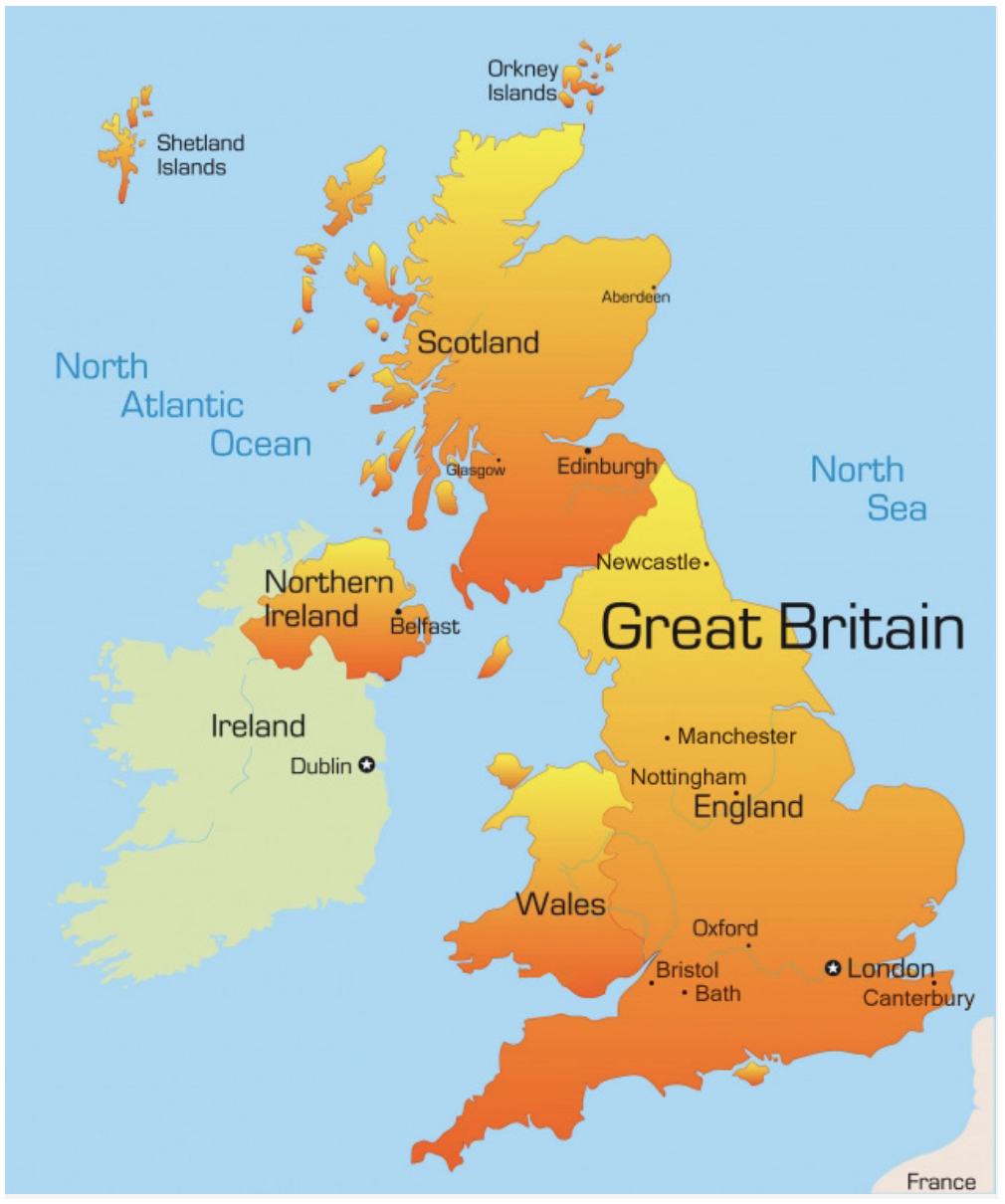
~ The United Kingdom is represented by the land masses colored in orange.
~ Britain is an area that consists of England and the country of Wales.
~ Great Britain is the name of the island that is home to the countries of England, Wales, and Scotland.
~ The British Isles includes Great Britain and Ireland, the Hebrides, the Shetland Islands, the Orkney Islands, the Isles of Scilly, the Isle of Man and sometimes the Channel Islands(?).
~ The United Kingdom (UK) is a union of the countries on the island of Great Britain, along with the country of Northern Ireland (which shares the island of Ireland with the Republic of Ireland.)
~ The Republic of Ireland (shown in light green) is a separate country that is not part of the UK.
But let’s not forget the British Colonies, the Commonwealth Realm and the British Territories. This where it gets seriously complicated. Here’s a 5-minute Youtube video that offers a “somewhat” digestible explanation. https://www.youtube.com/watch?v=rNu8XDBSn10&t=54s
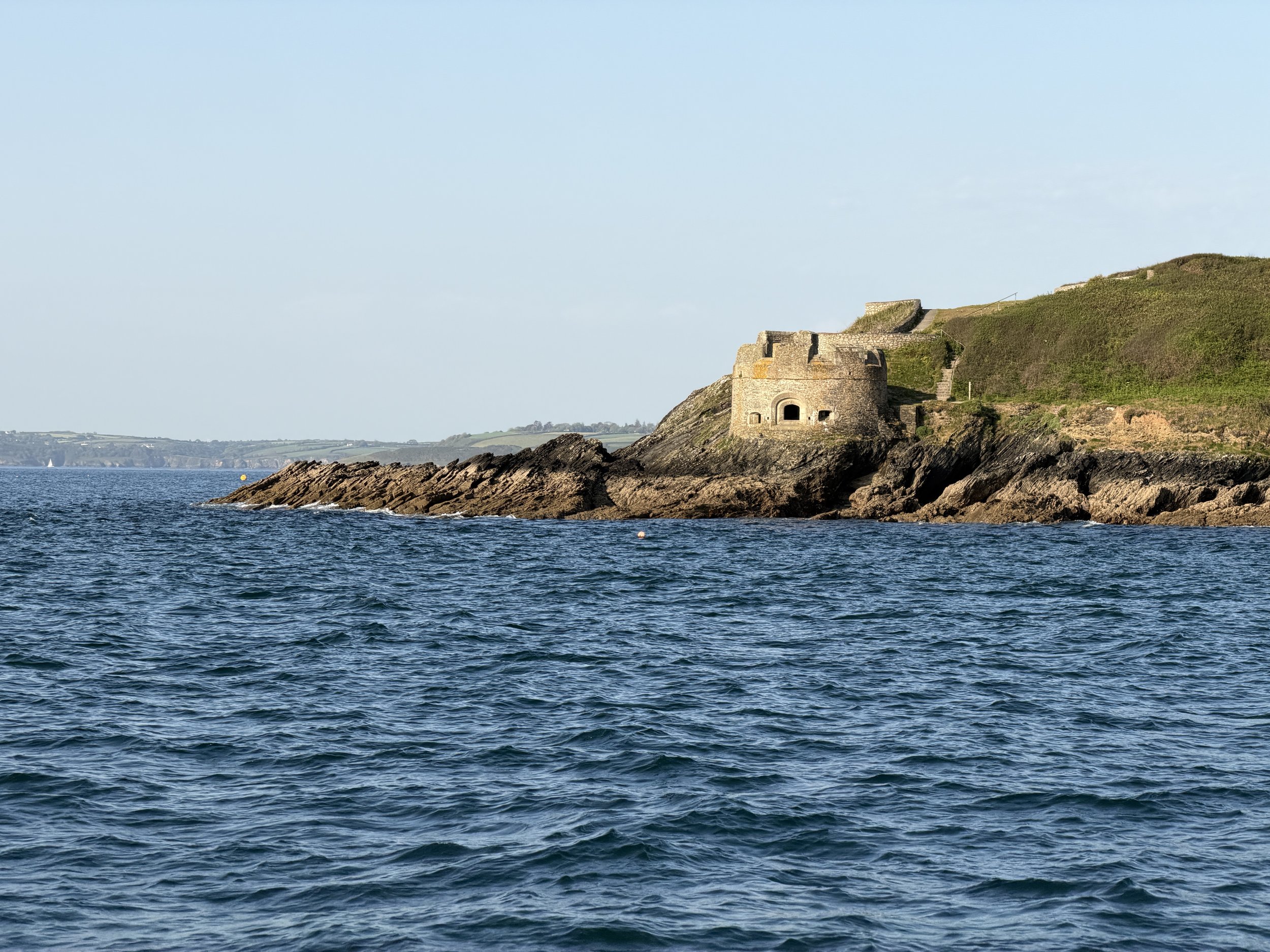
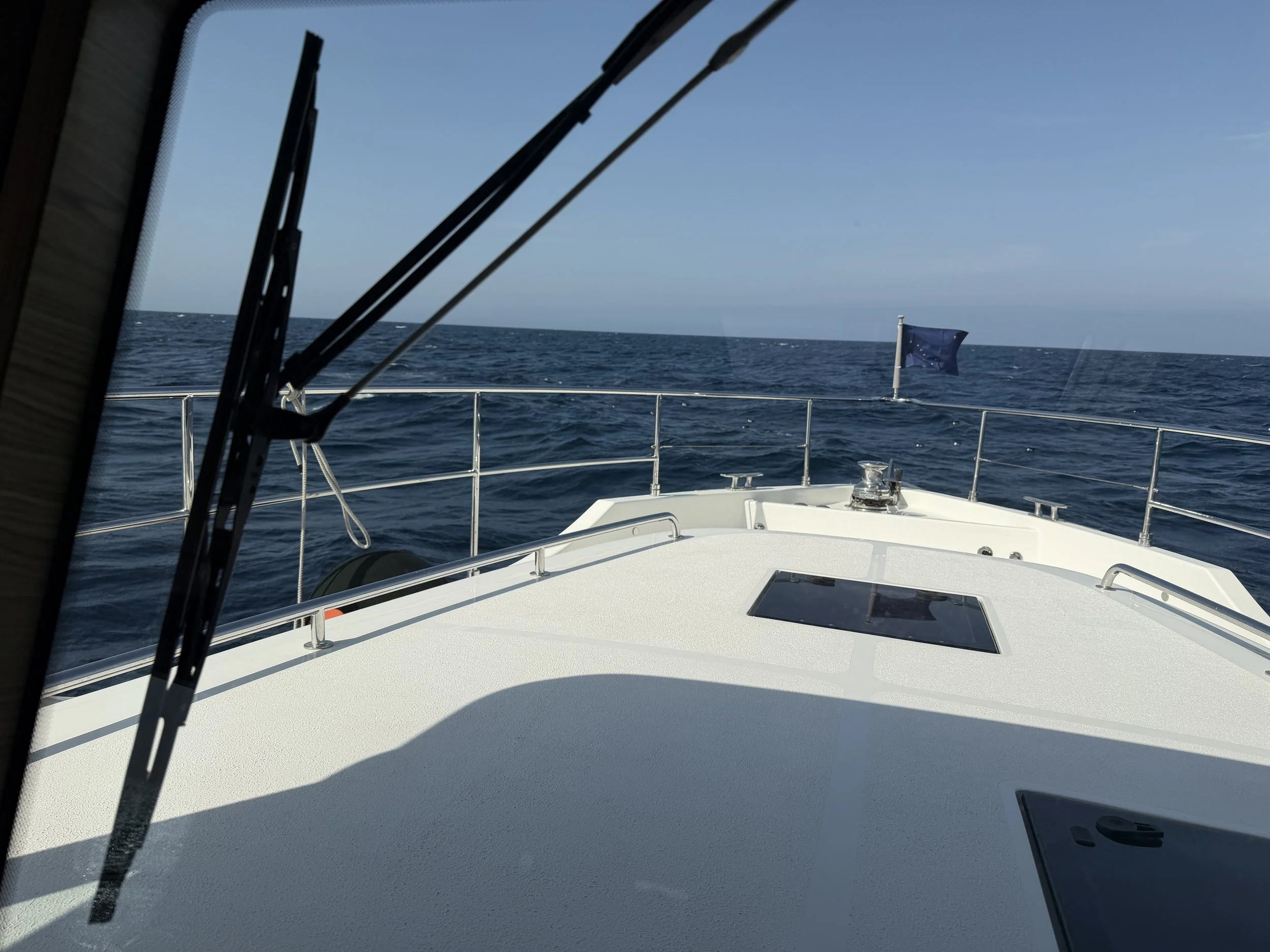
We were on the southwestern tip of England in Falmouth trying to get around Land’s End bound for Wales. The weather had kept us stationary for nearly 2 weeks. We found a brief weather window we thought we could make work so we went for it.
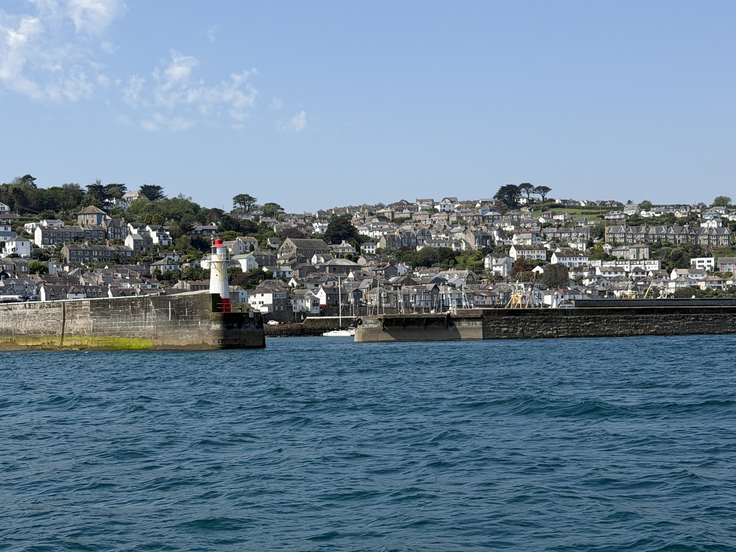
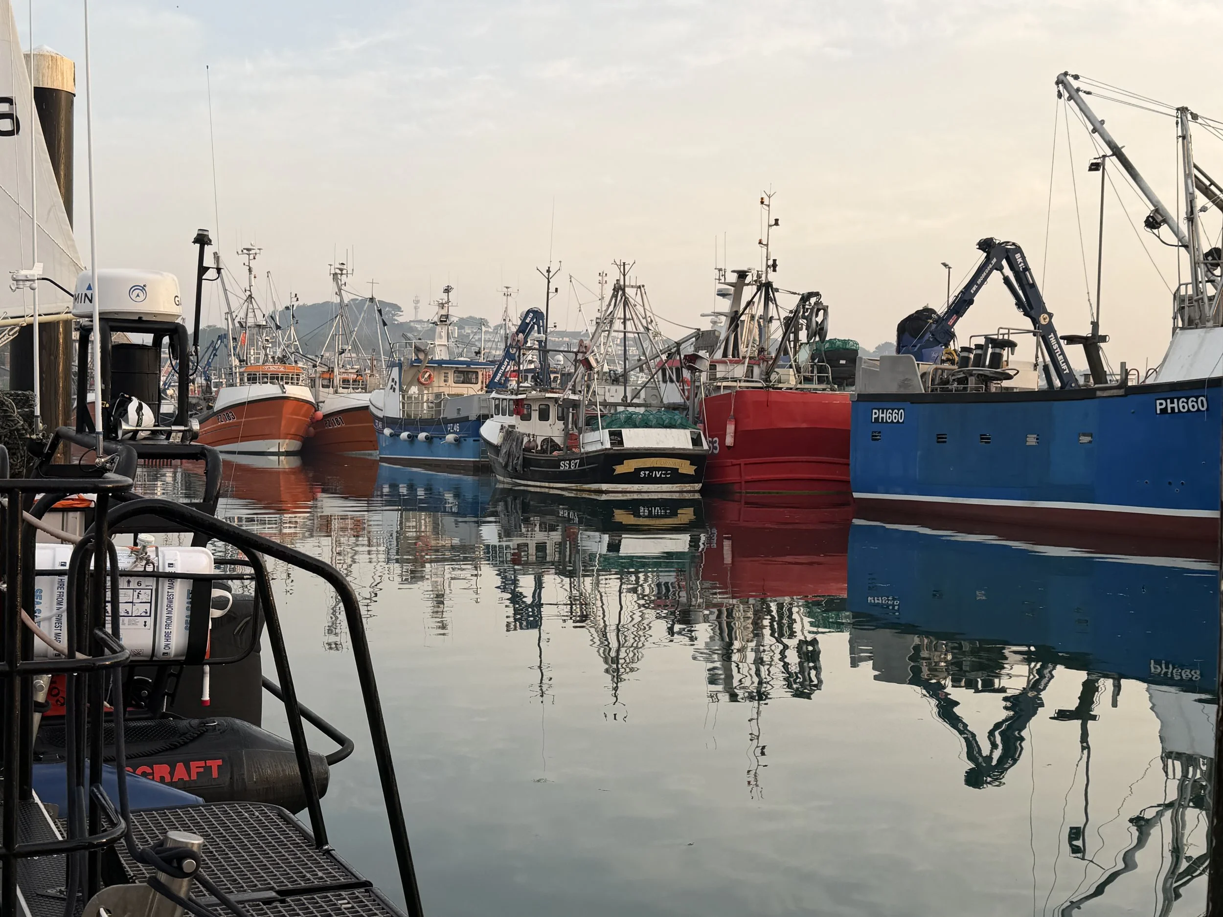
When a window presented itself we moved from Falmouth to Newlyn, just short of Lands End in preparation for a transit the next day.
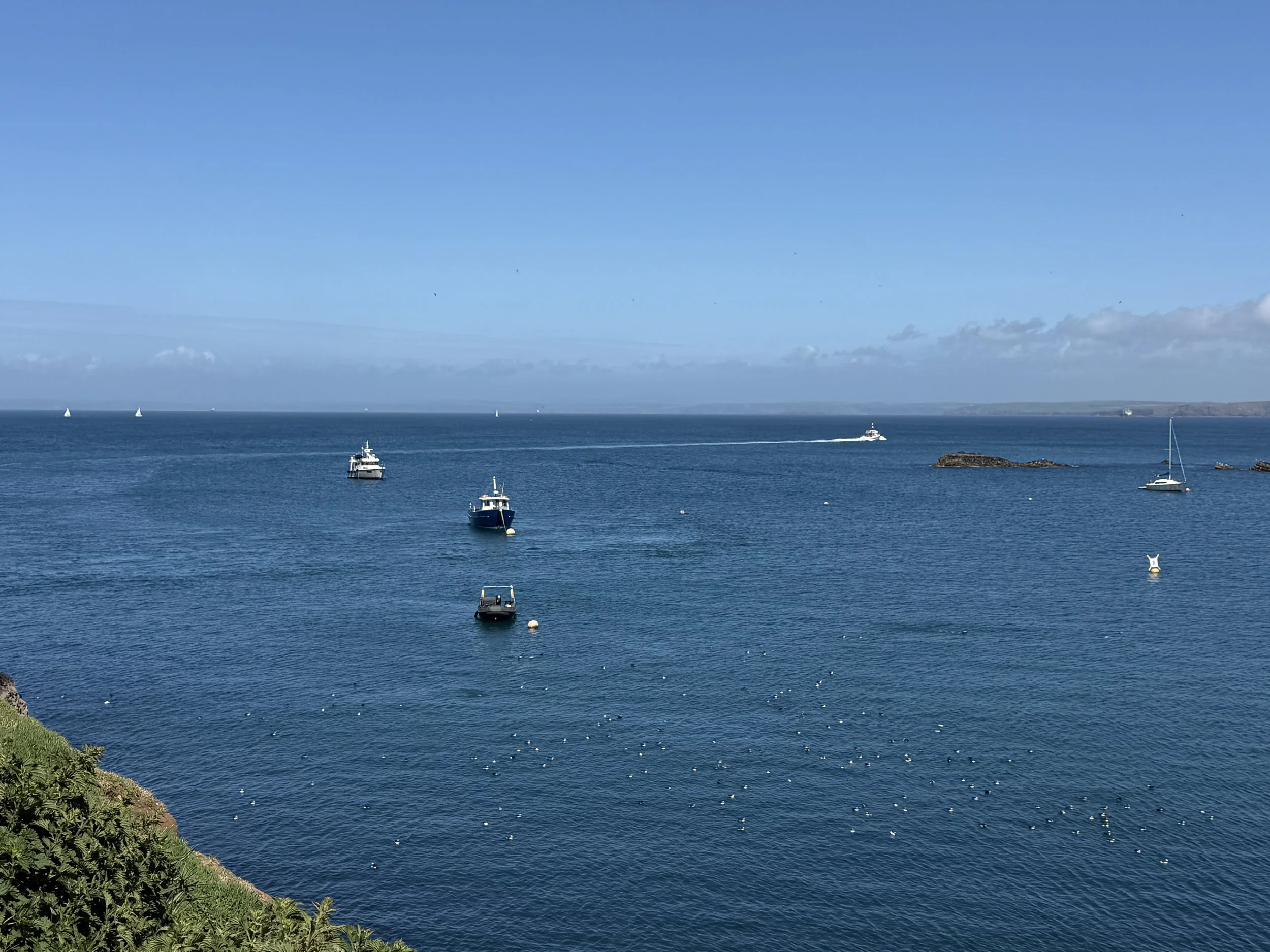
This was a long passage, approximately 95nm, Newlyn to Lundy Island which we estimated would take around 15 hours. We’d decided to stop for the night at Lundy Island, splitting the transit to Wales into two long days, because high seas were rolling in from the North Atlantic and there are few protected anchorages on the north Cornwall coast other than Padstow Harbor where the entrance is known as the ‘Doom Bar’, a sandbar which dries at low water. Not the viable bolthole we were looking for. Lundy Island is only about 5km long (3 miles) at the entrance to the Bristol Channel, 12 miles offshore. We could anchor on the east side of this small island and hopefully get out of the rolling seas.
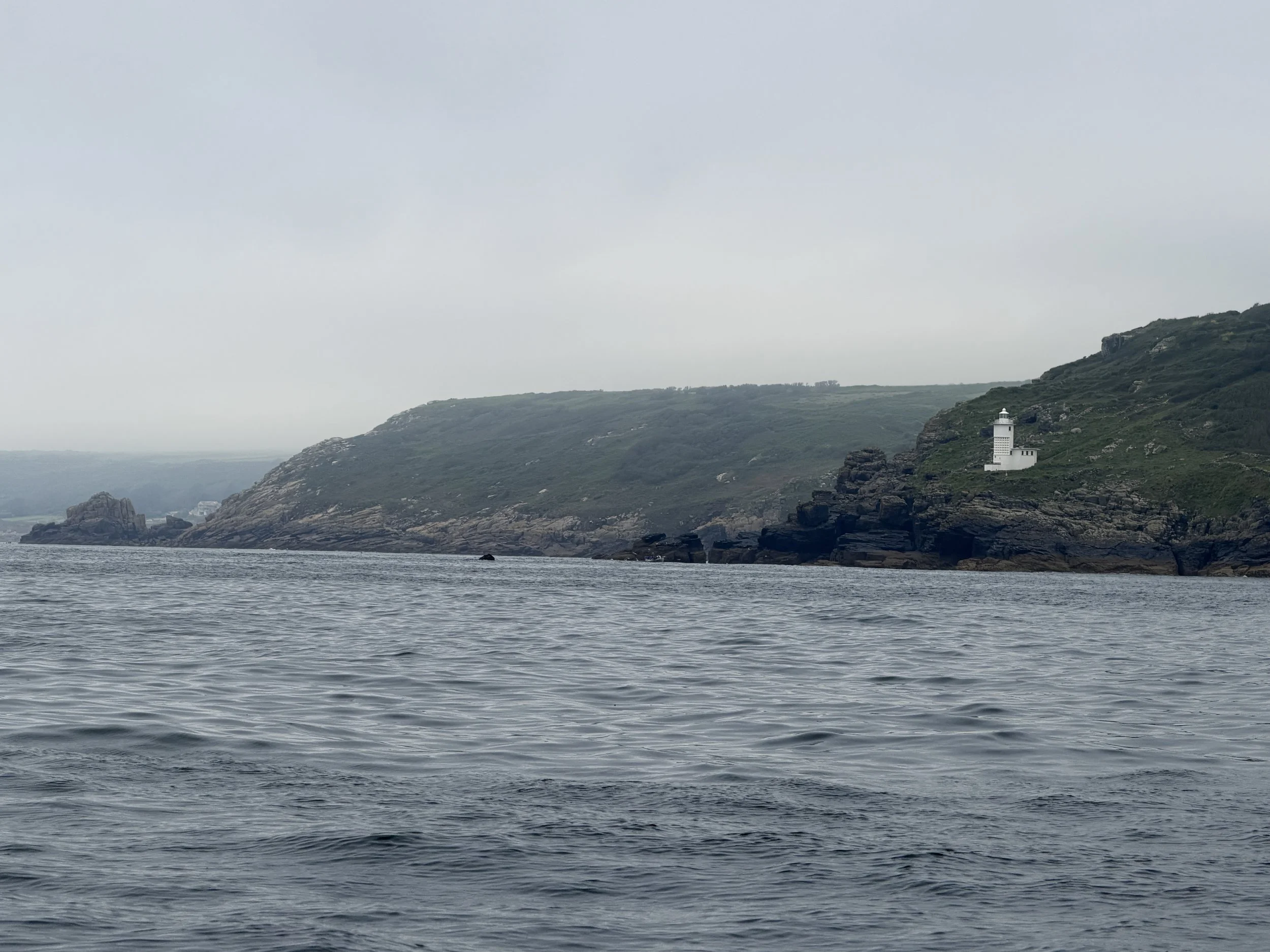
This passage was going to be a bit tough; it would involve going around Land’s End, an area which can throw up strong tides and unfavorable seas, before the long slog up the Celtic Sea to the island. Suffice to say we were a little anxious!
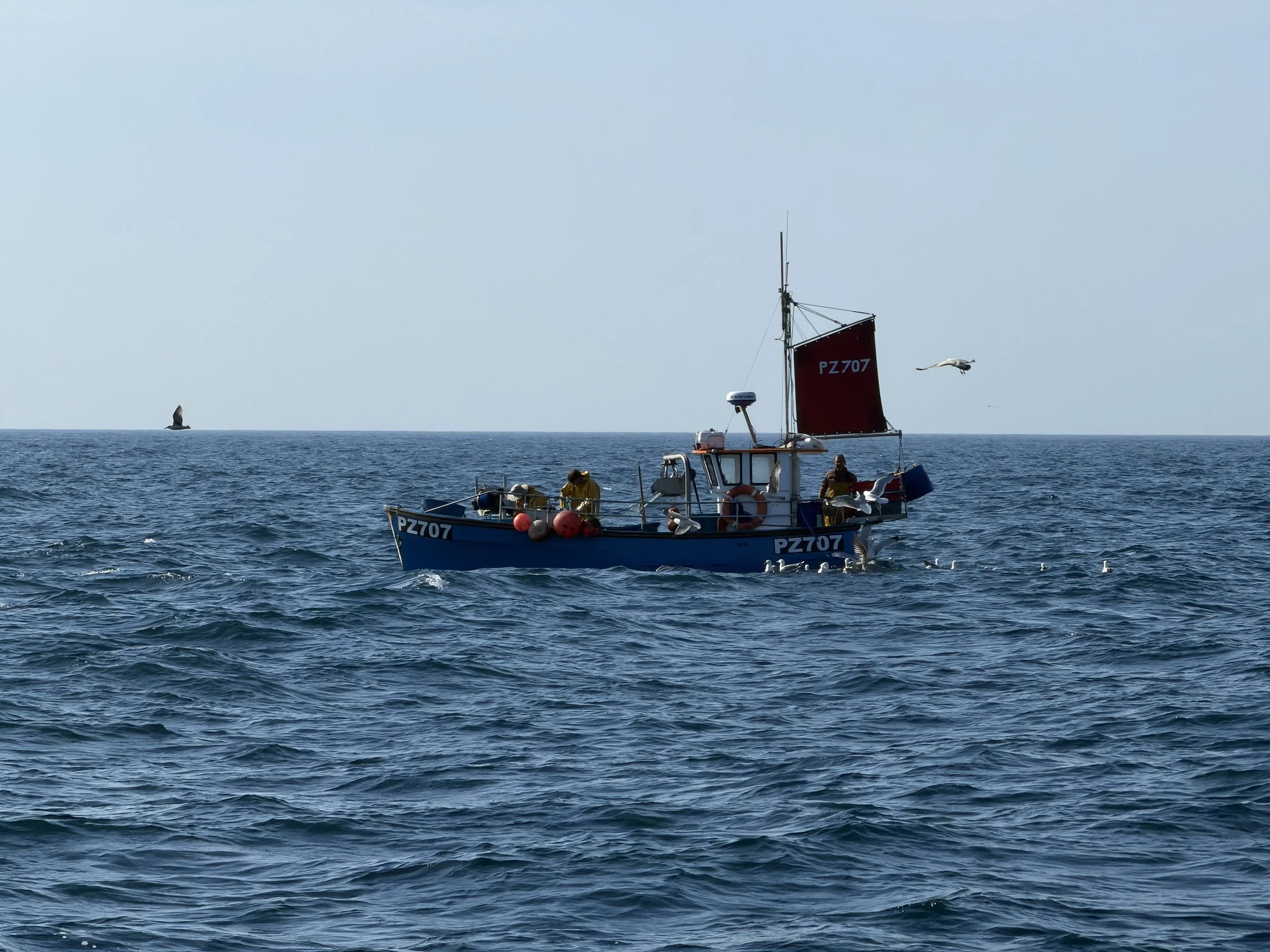
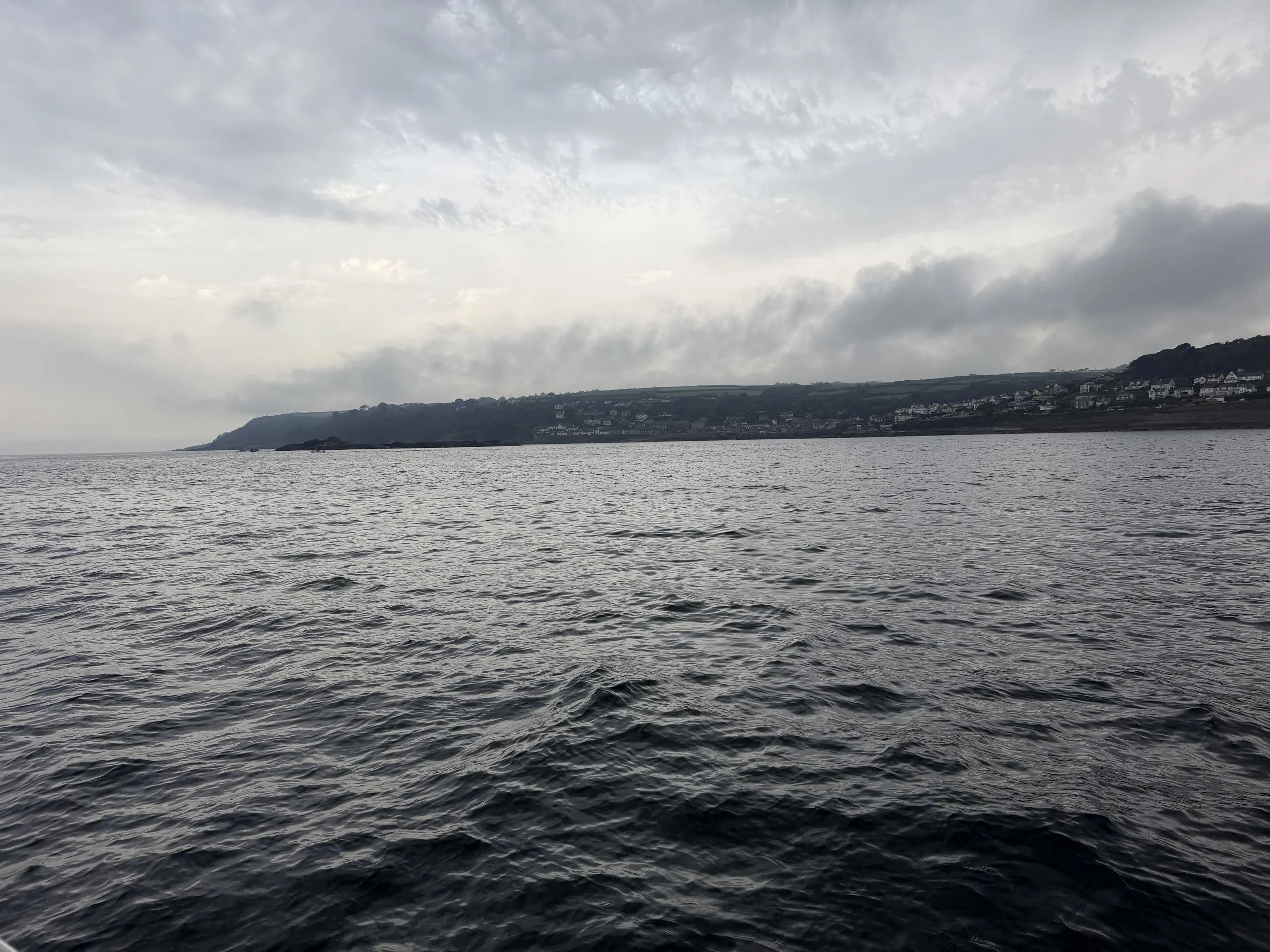
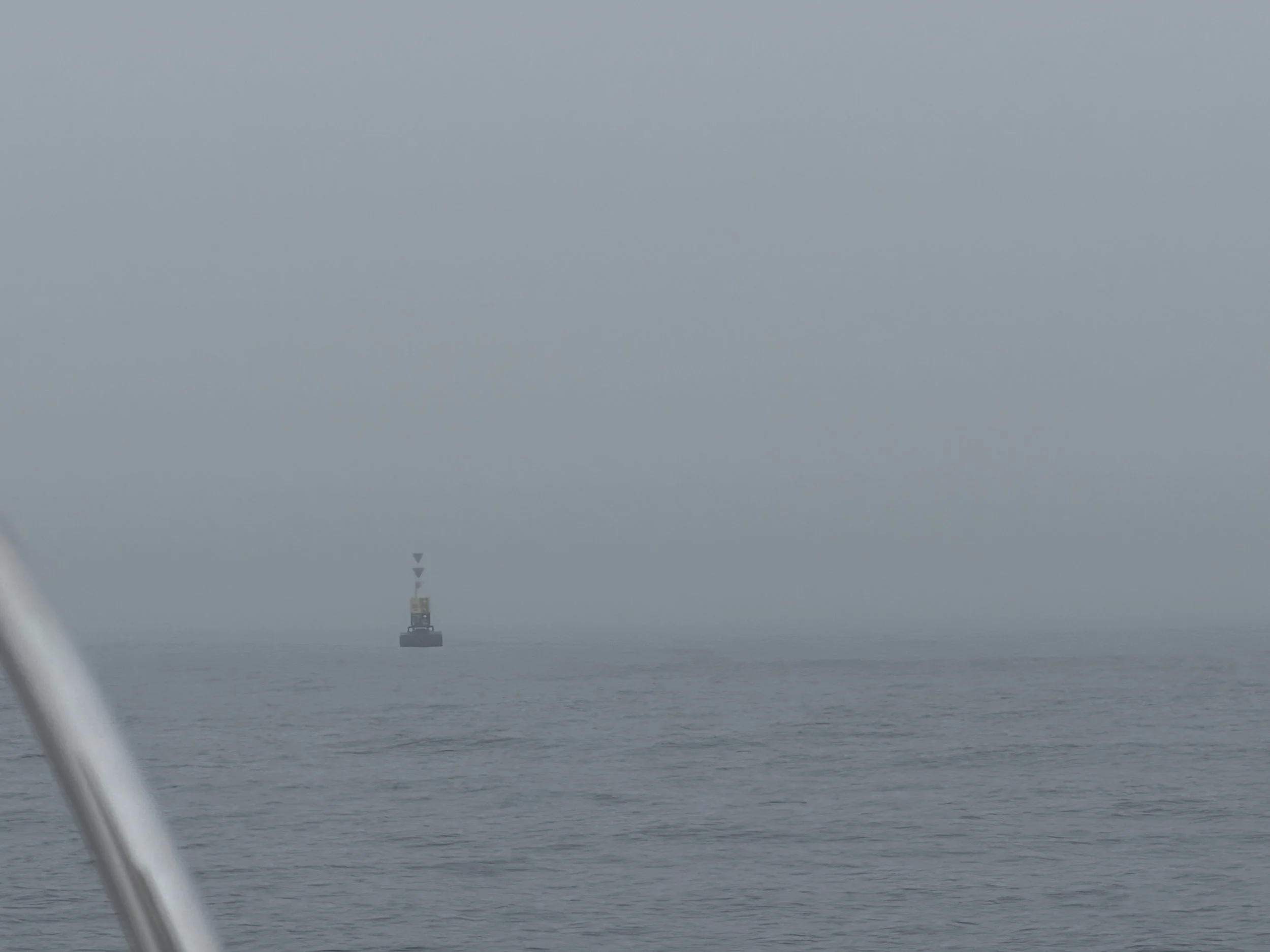
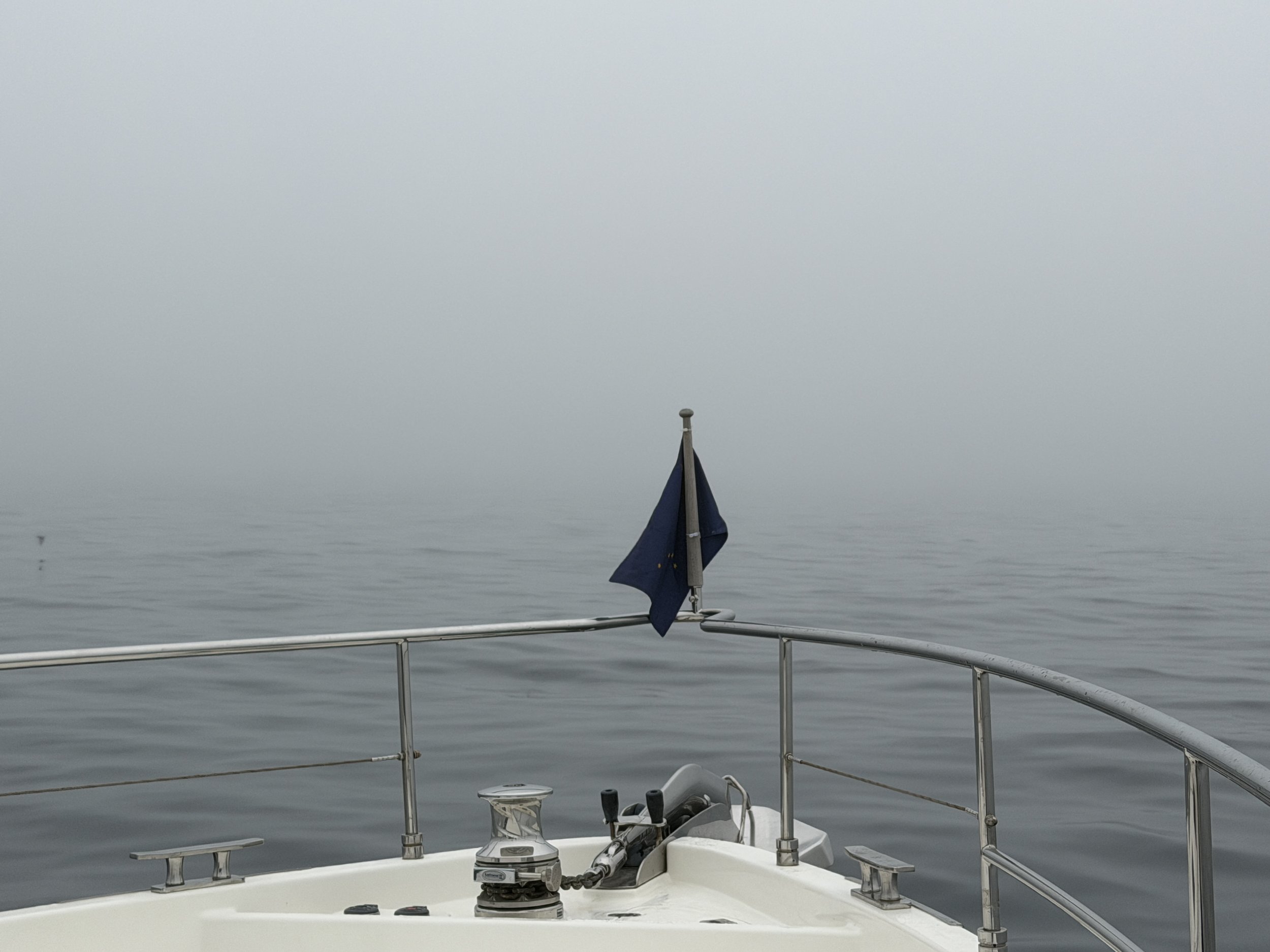
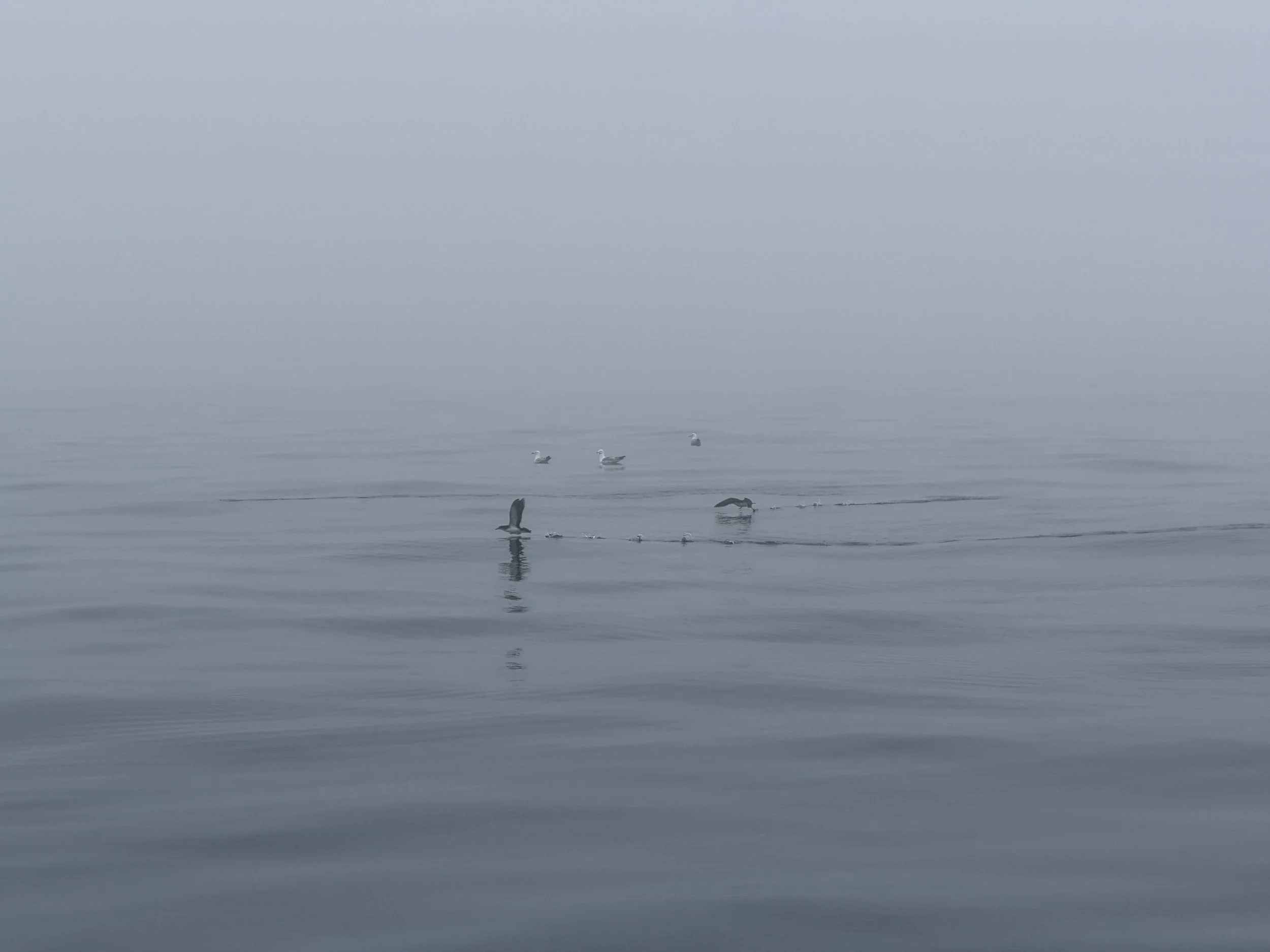
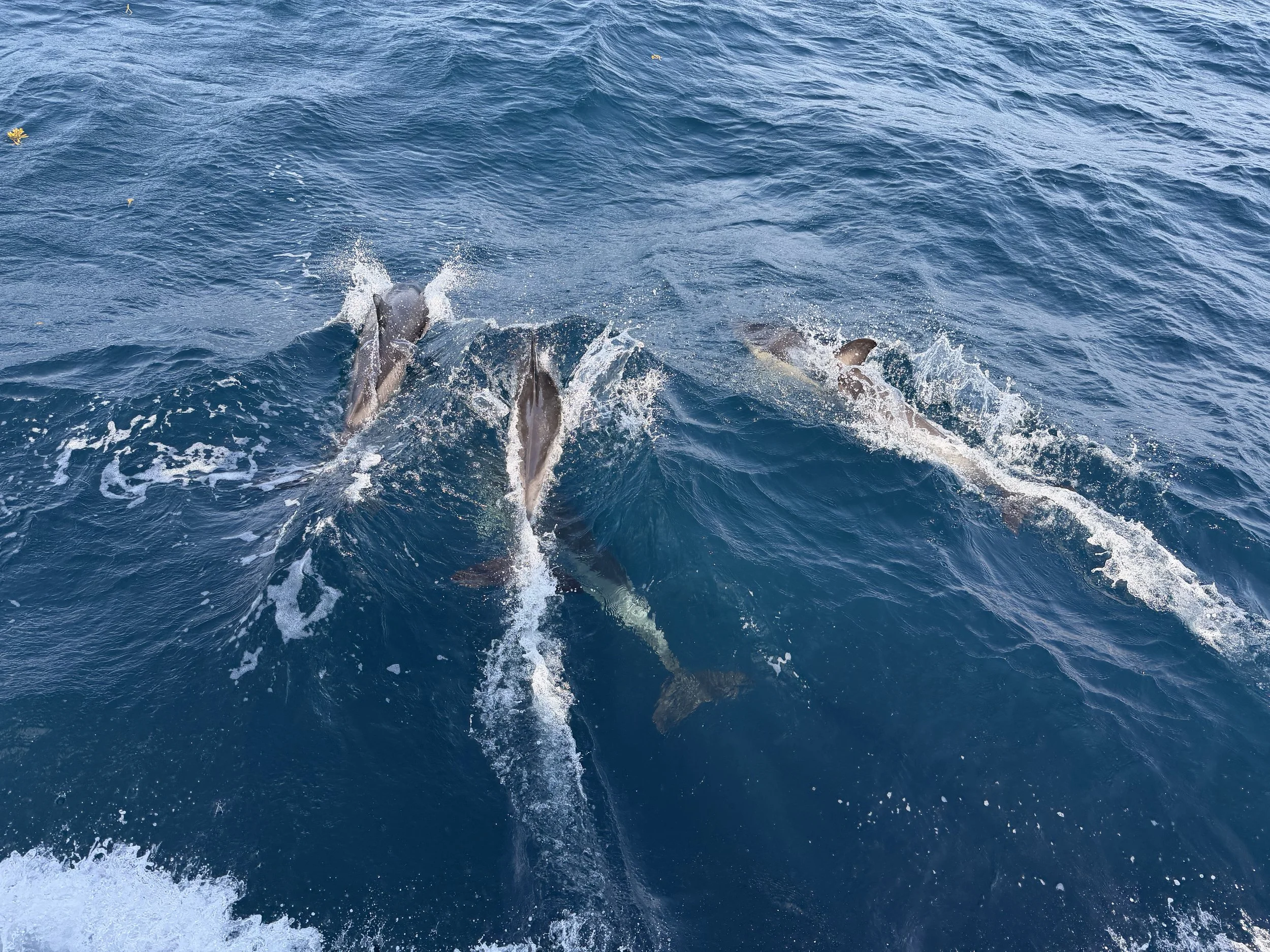
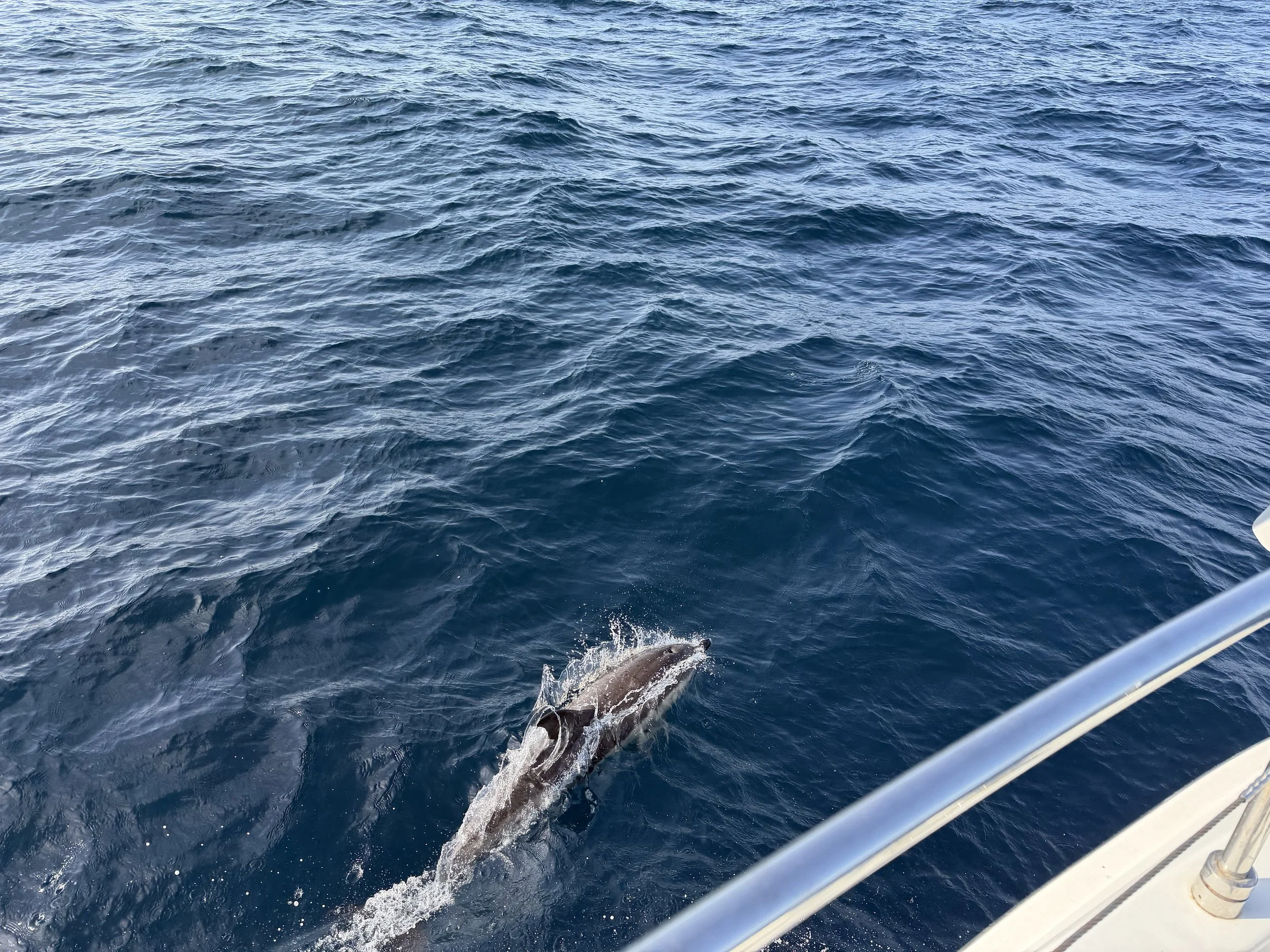
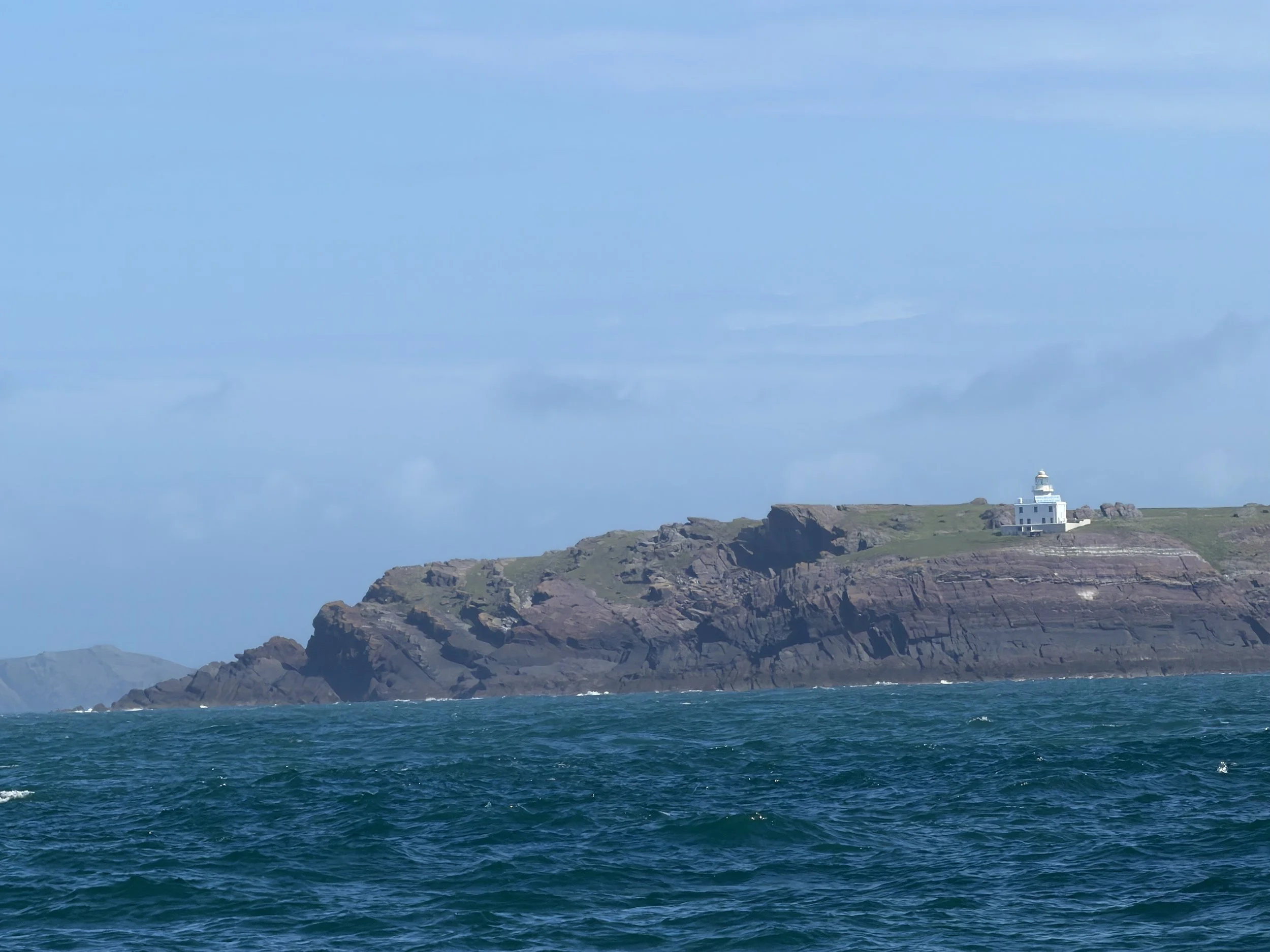
We set a departure time from Newlyn of 7:30am to allow us ample time to punch against the last of the tide down to Land’s End - that first hour and a half we were pretty much bucking directly into the wind. We arrived at the Runnel Stone, a notorious submerged rock pinnacle a mile offshore, in dense fog - but we had flat water and were right on schedule. We caught the tidal stream northward up the North Cornwall coast, the fog lifted and we enjoyed a following sea boosting our speed to 7-8 knots for the next twelve hours. We were greeted by dolphins and thoroughly enjoyed pod after pod that took it in turn to escort us northward, arriving at Lundy Island just before sunset.
Exhausted from the anxiety of rounding Land’s End, and the long day of cruising, we were ready for a good long sleep. But this was not to be had. The small bay in which we’d dropped the hook seemed to provide a perfect eddy for the large swell of the North Atlantic to curve into. Meraki rocked and rolled all night and we slept very little. We pulled anchor as the sun was cresting the horizon and were underway again by 5:00am.
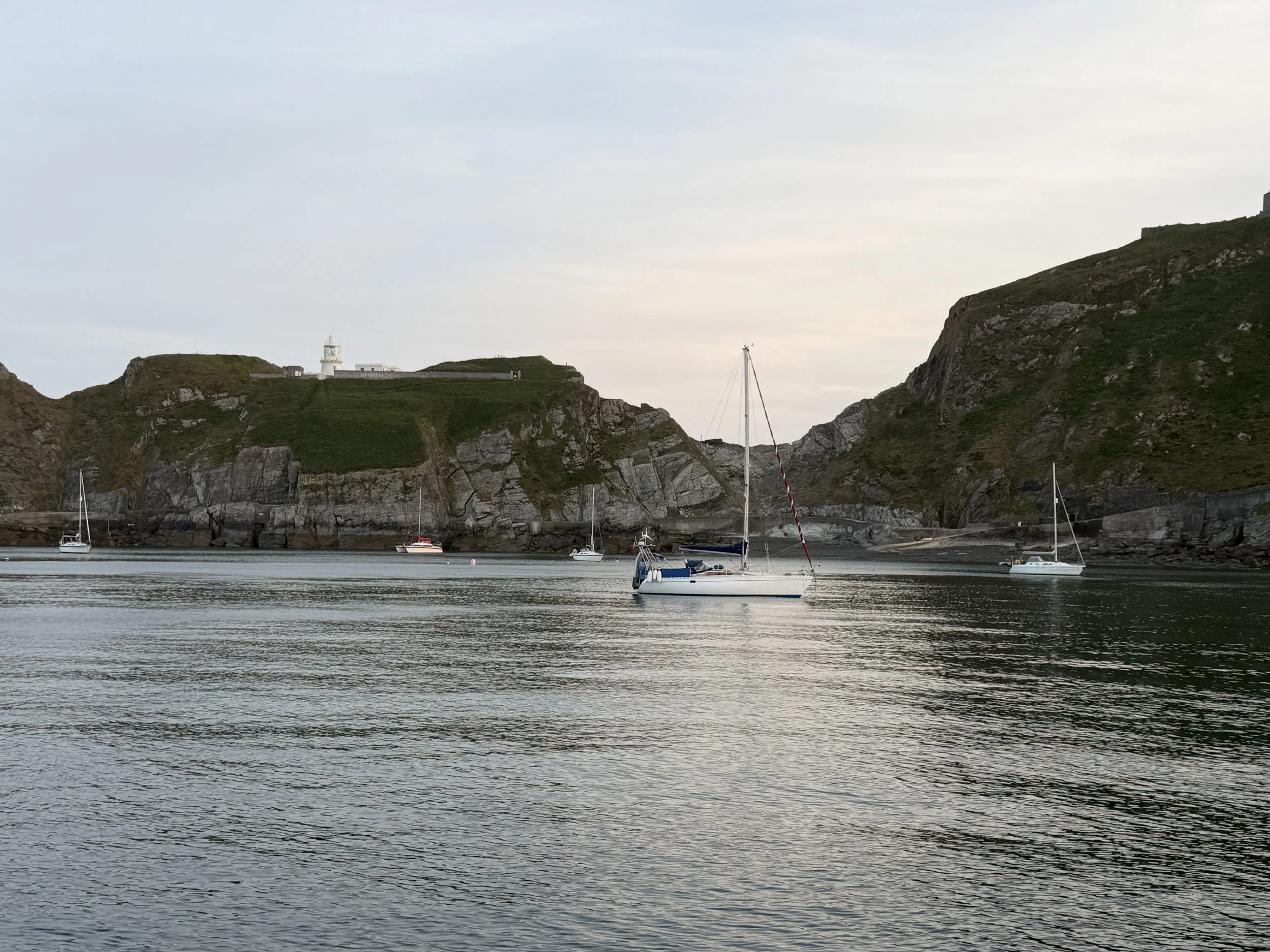
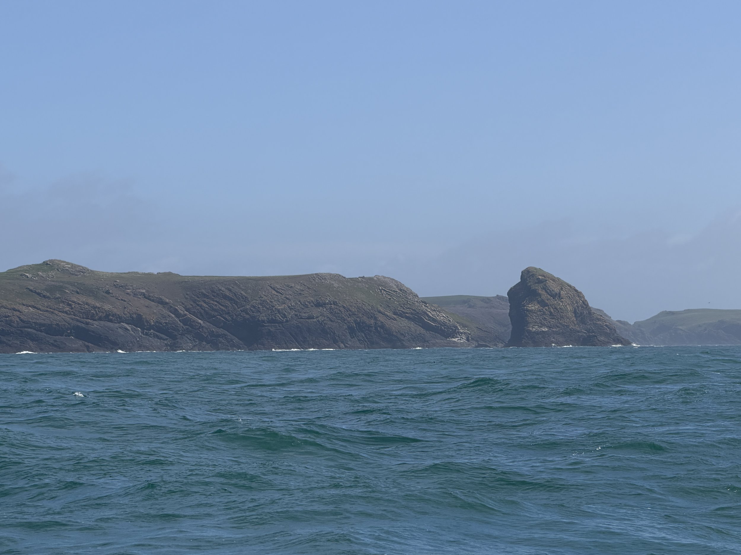
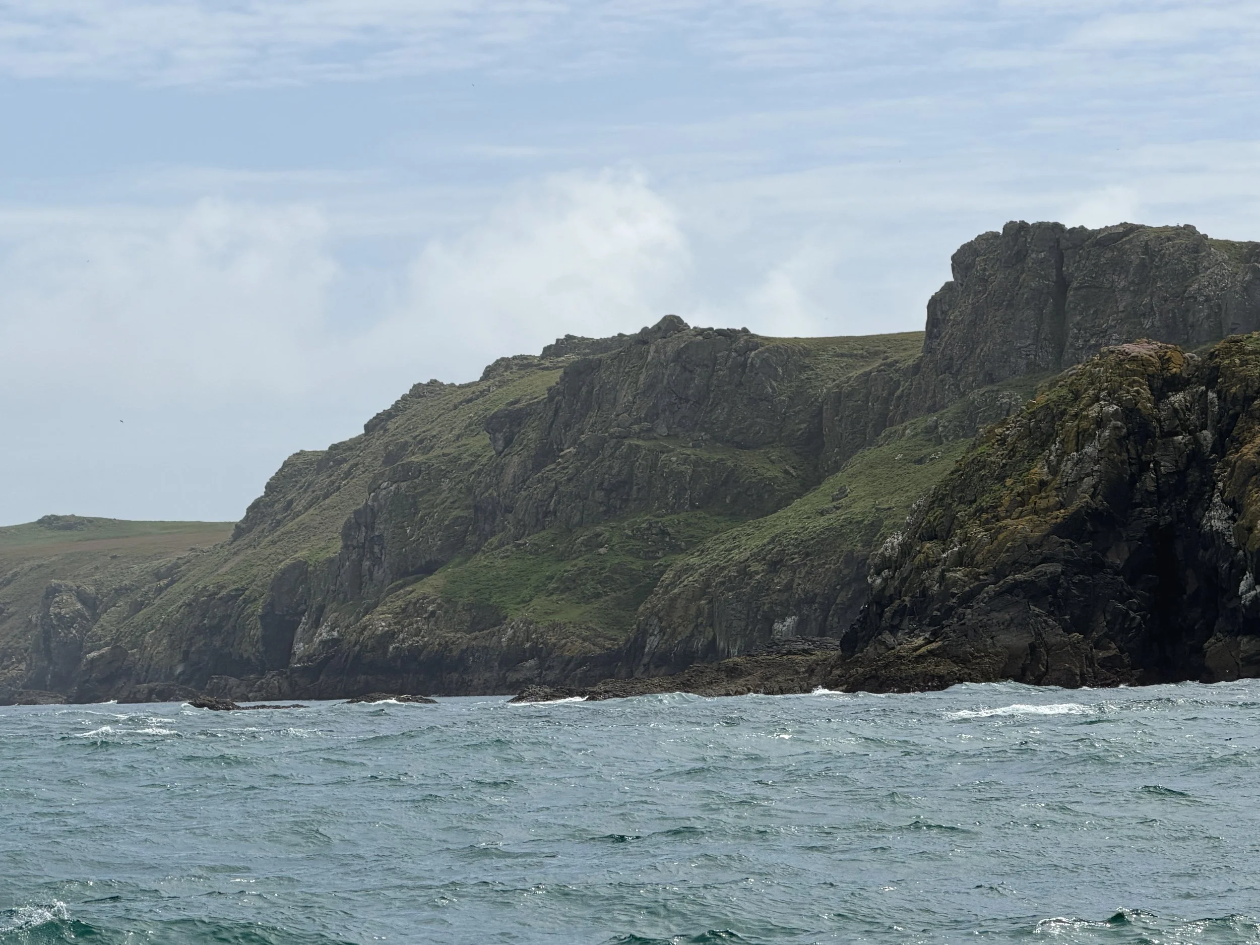
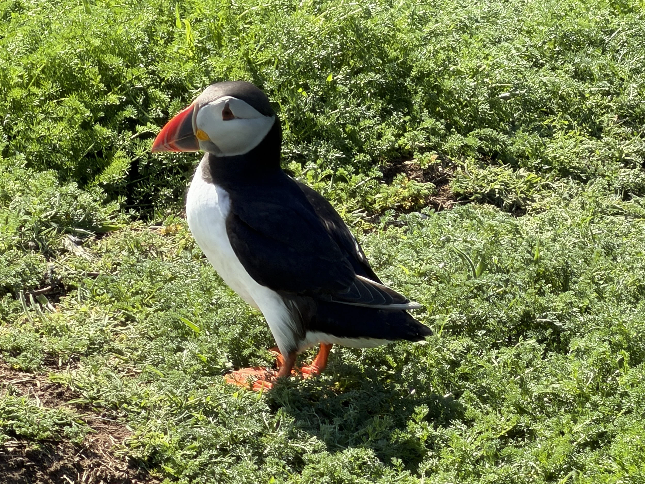
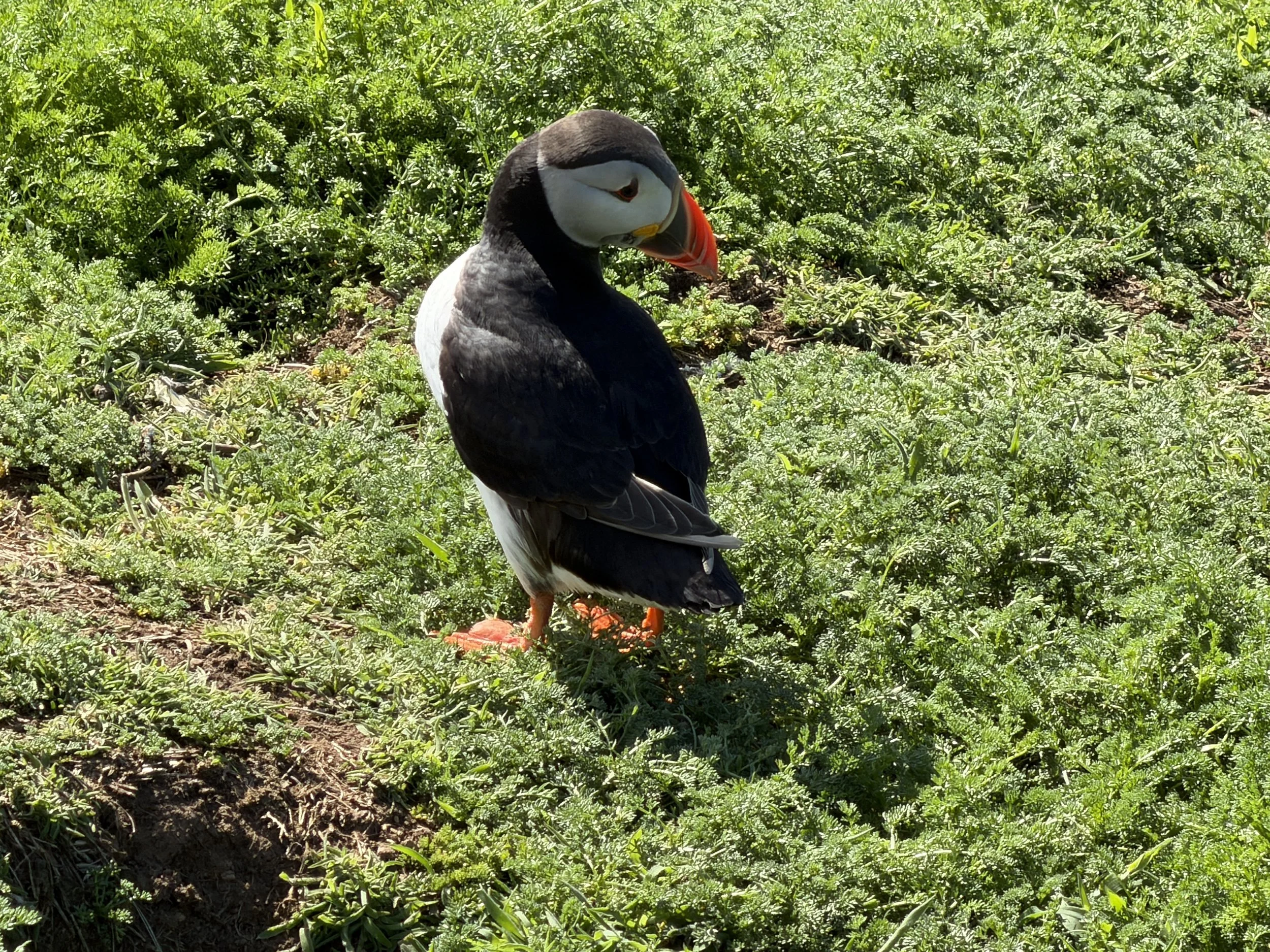
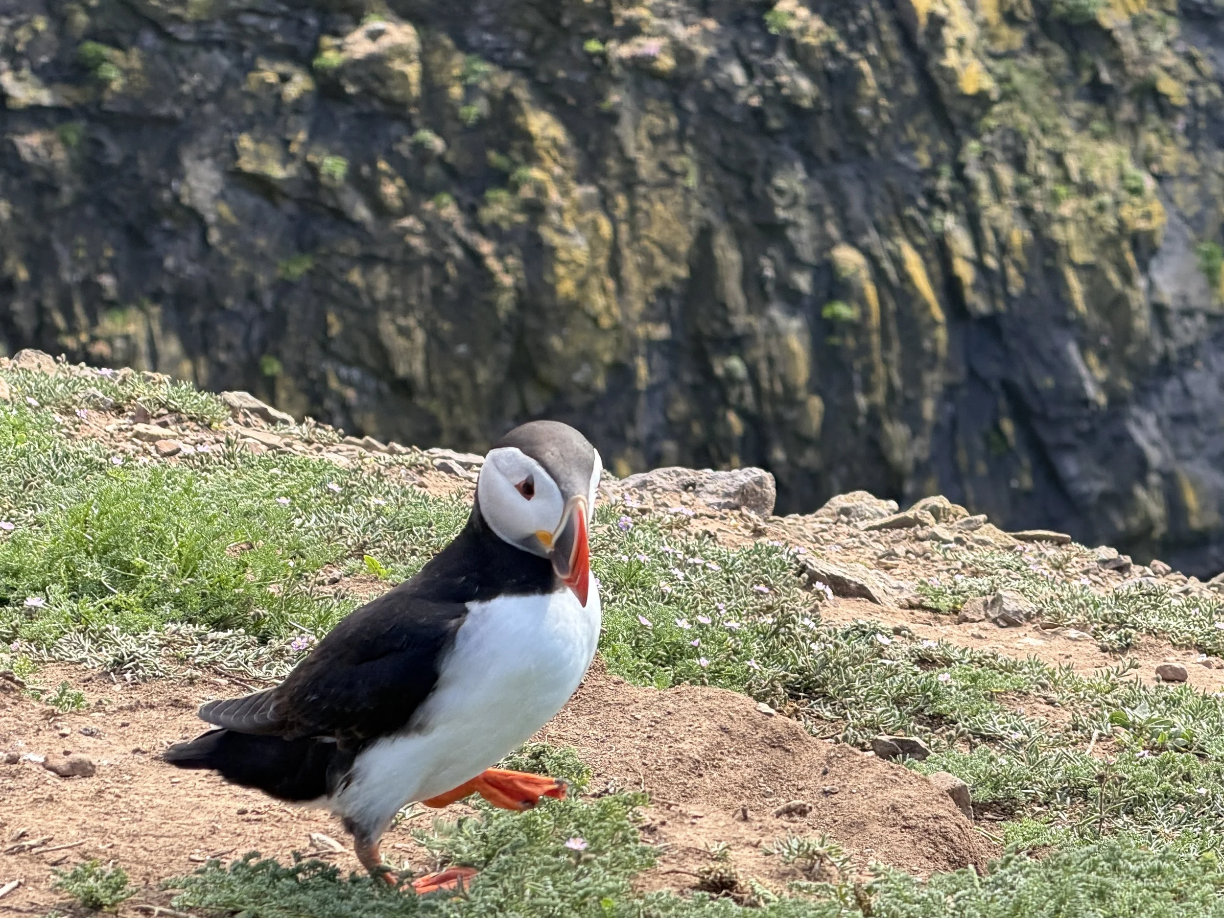
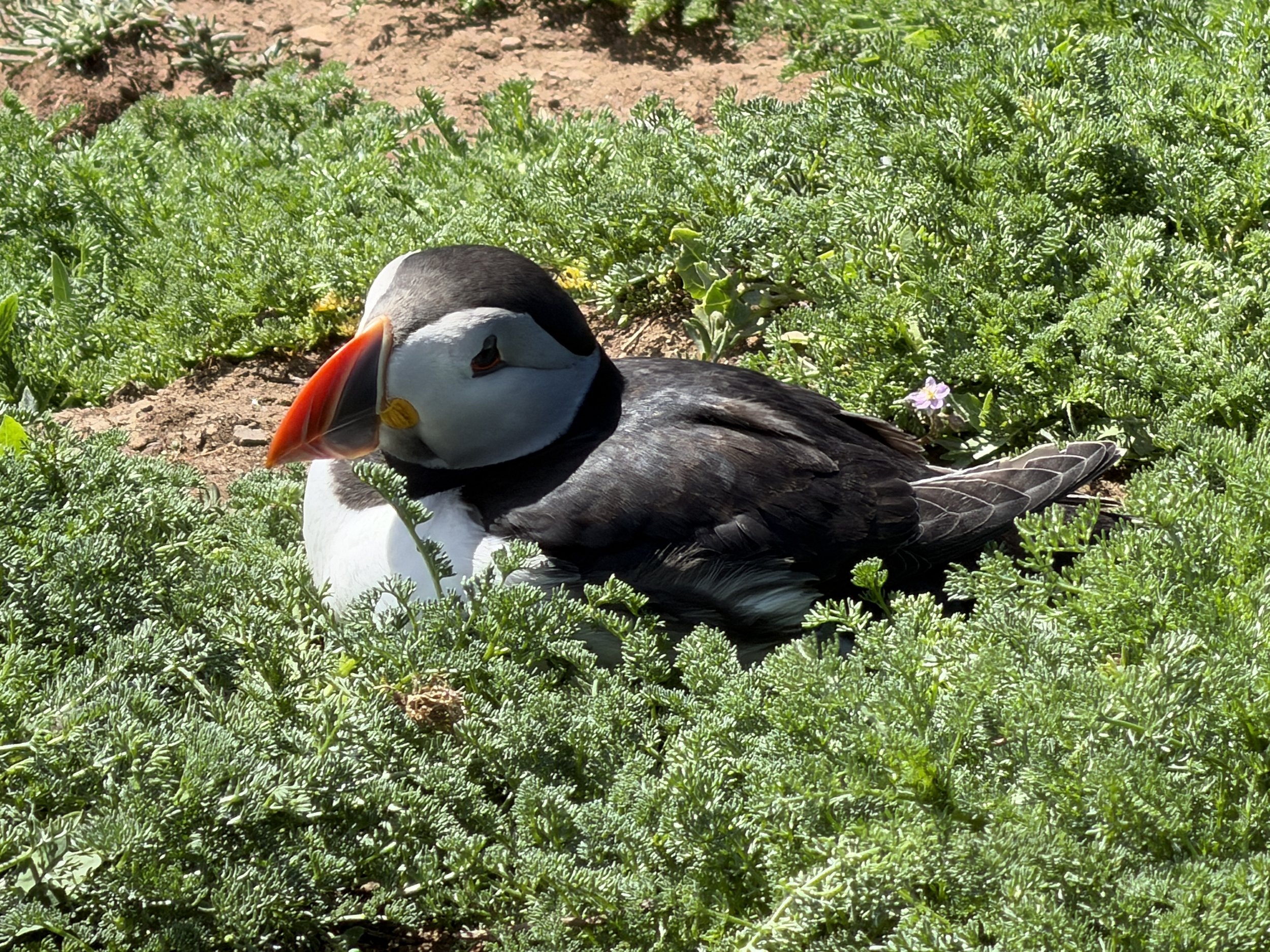
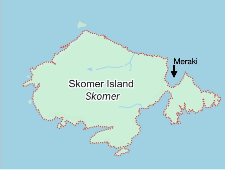
We were bound for Skomer Island, a spectacular National Nature Reserve famous for its massive Atlantic Puffin colony and the world's largest population of Manx Shearwaters. People are only permitted to land at the island during certain times each day and if we wanted to get ashore we would need to arrive between noon and 2pm.
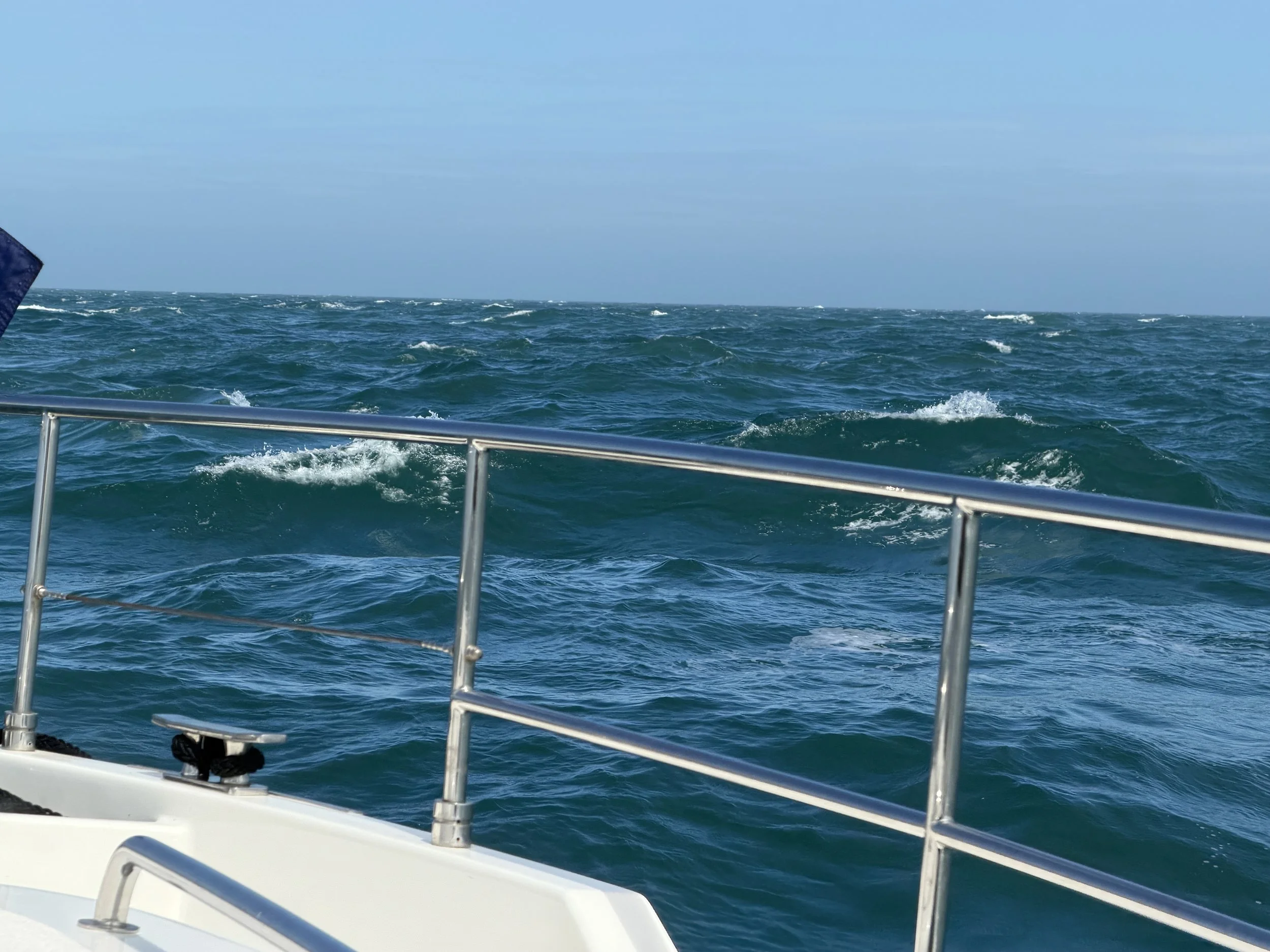
We entered the waters around Wales about three hours after leaving the anchorage. We had been porpoising through well over one meter waves on the bow for about 6 hours and it was quite uncomfortable. I wasn’t feeling well and as the island came into view and I felt we were finally home free, we were hailed by a Range Safety Vessel requesting we alter our course due to the military practice zone. We followed their instructions and thankfully did not have to deviate for much more than an hour before resuming our course.
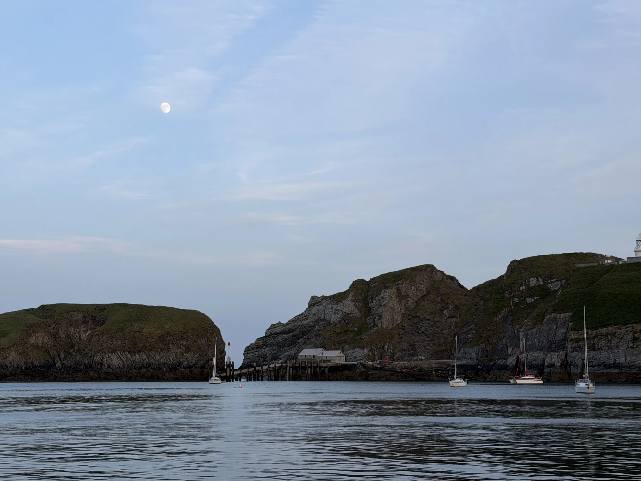
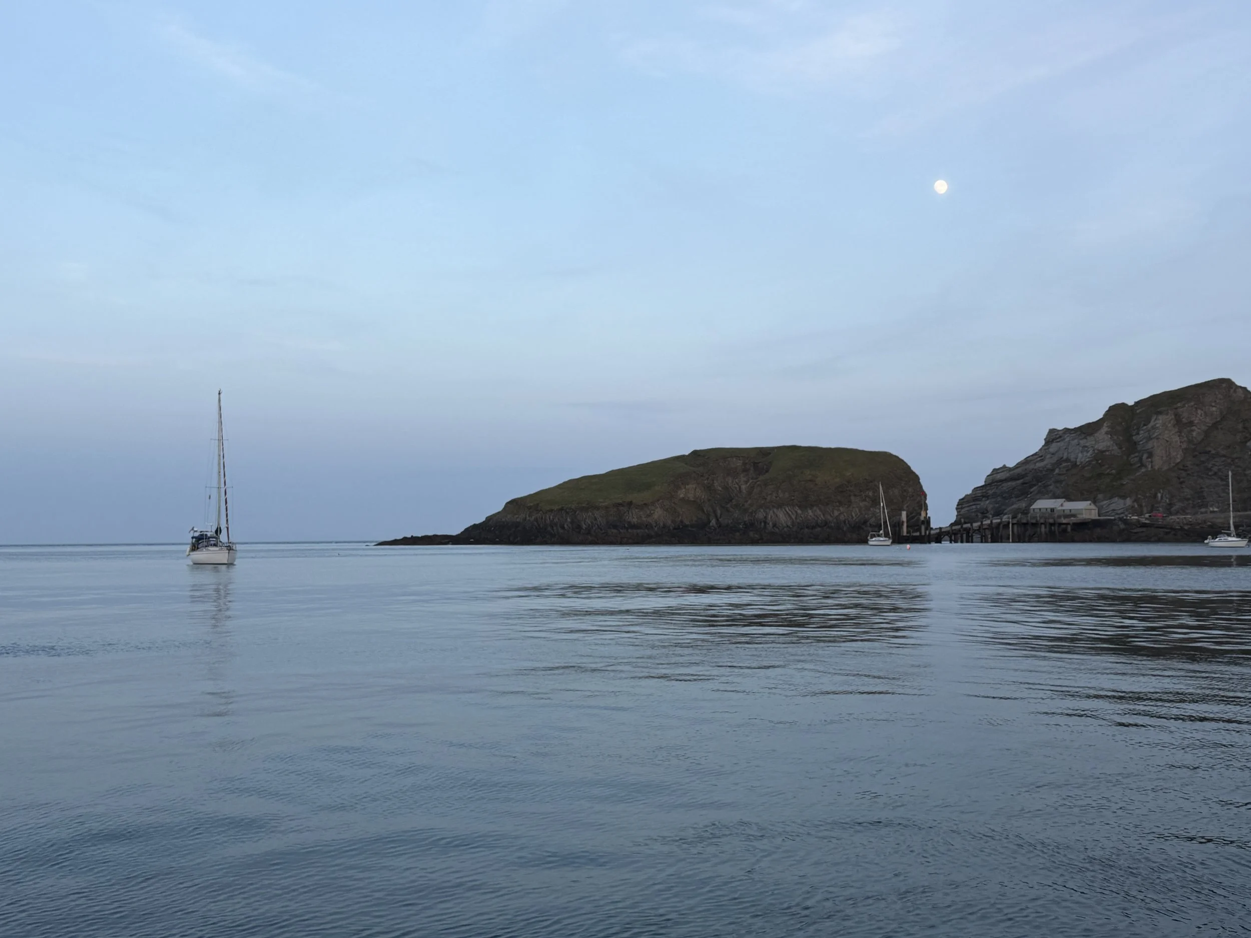
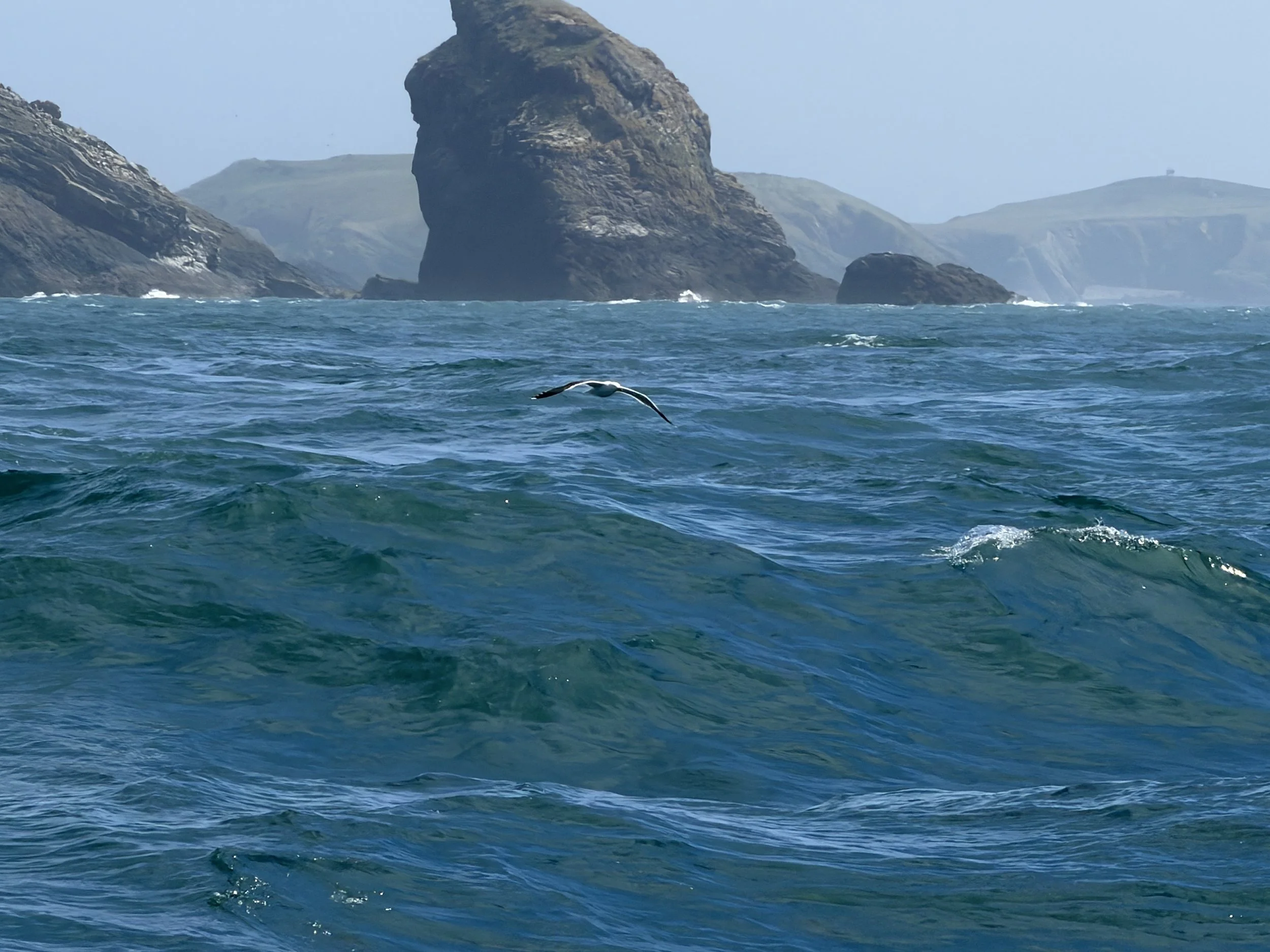
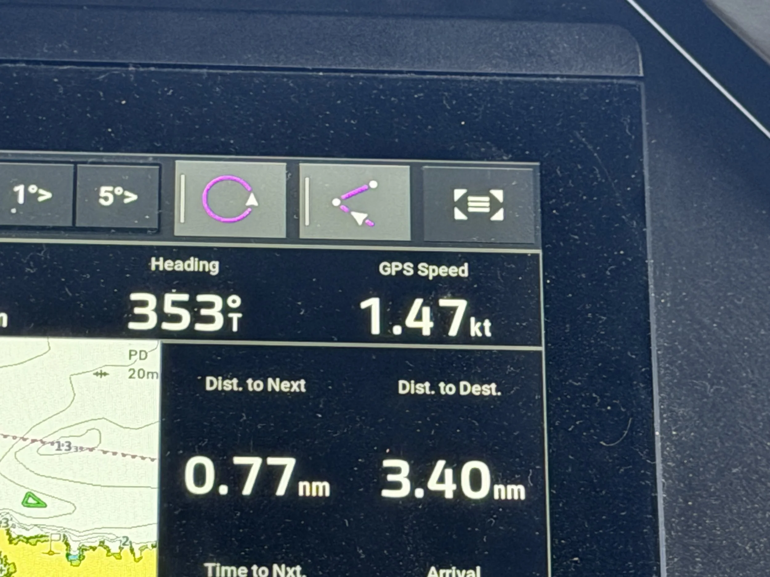
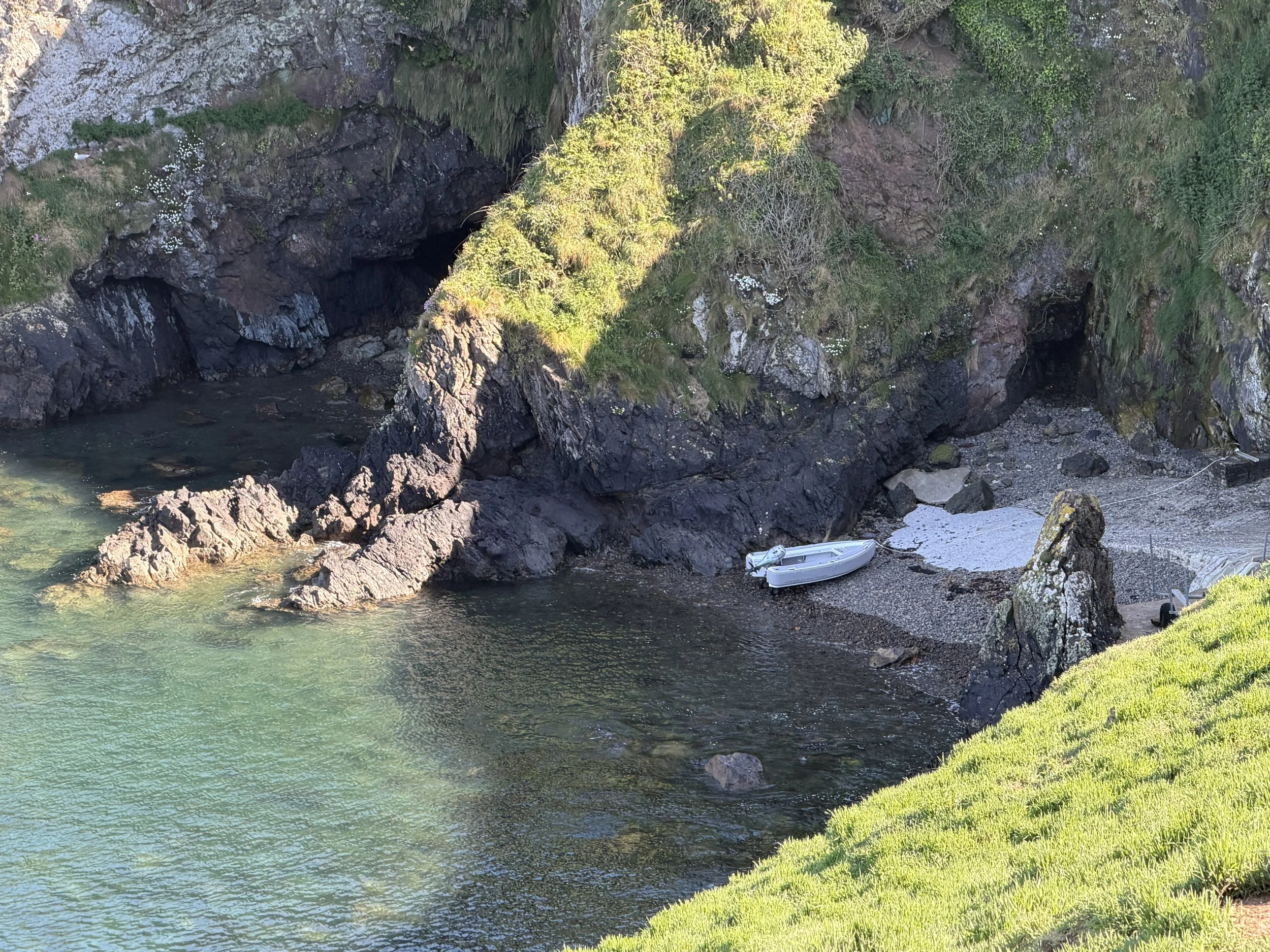
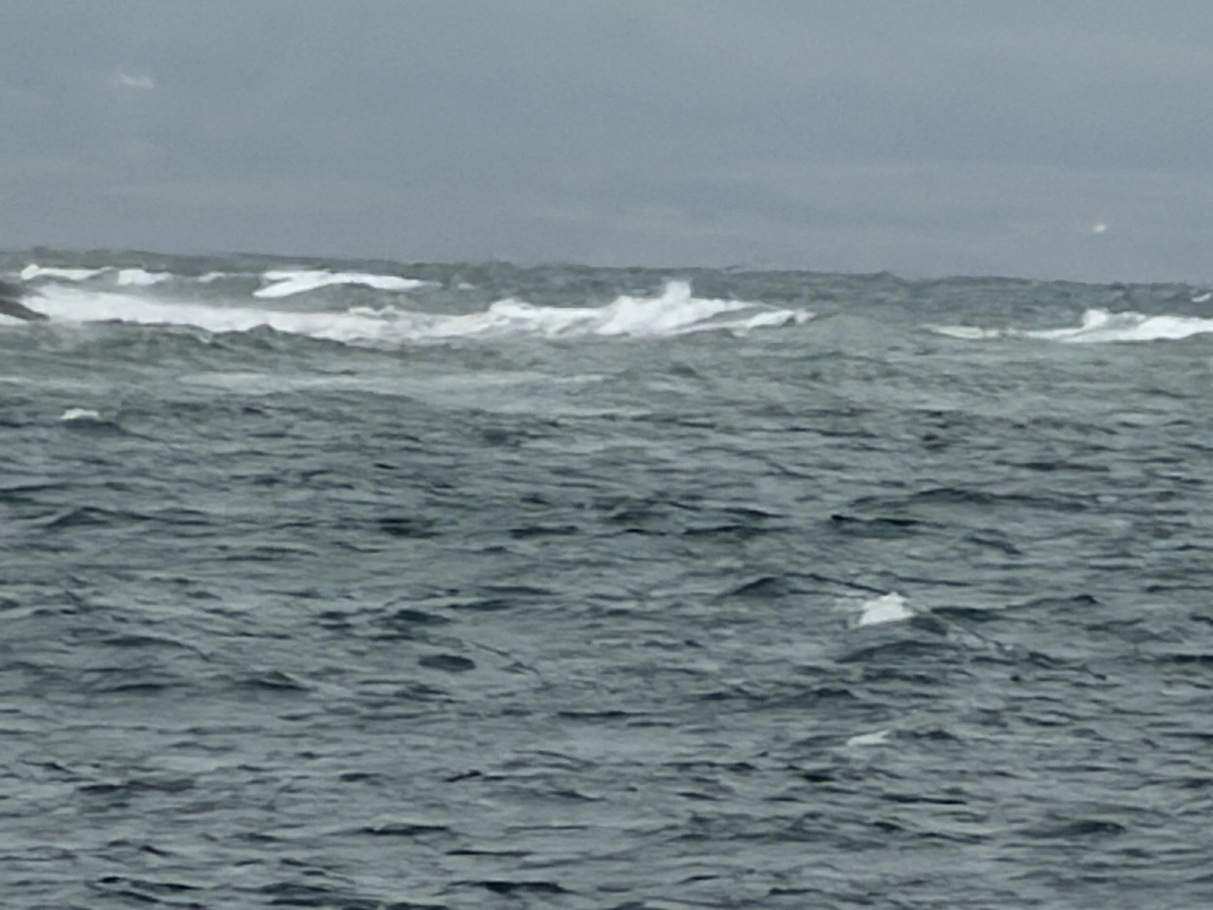
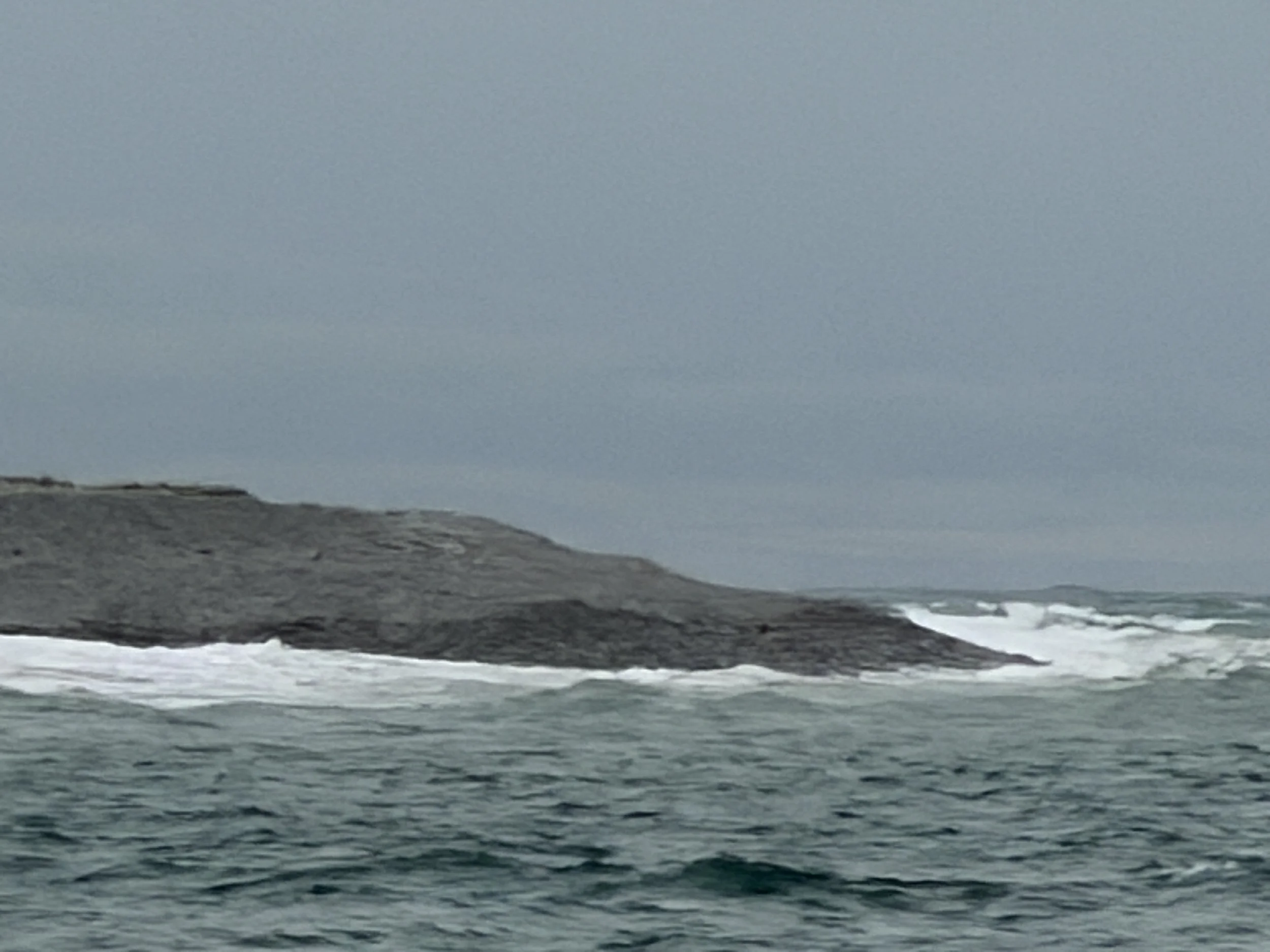
Finally, we were just off the south coast of Skomer Island and it looked as though we had only an hour to go. We had just noticed a change in the water surface ahead when we hit the tide rips. Our speed dropped from 6.2 knots, down to 5 knots, then to 3 and eventually down to 1.5 knots! We had only 3.4 miles to go and yet with over 4 knots of current against us it would take another two hours! The boat was pitching violently and the waves were crashing over the bow. Hand steering, trying to surf the waves was the only choice. When we finally dropped the hook on the north side of Skomer, in the one cove where anchoring is allowed, the swell was pounding in and Meraki kept right on rolling.

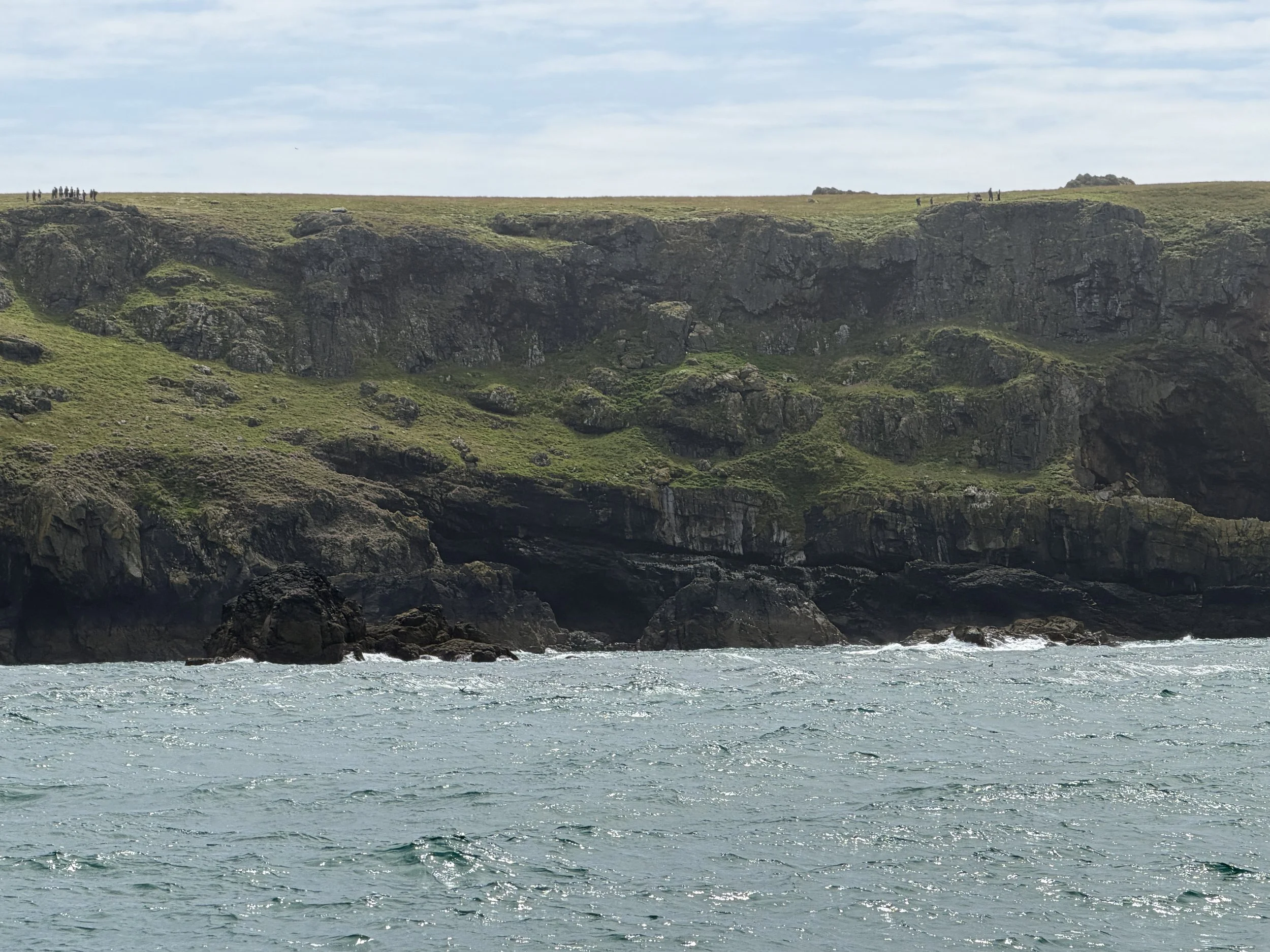
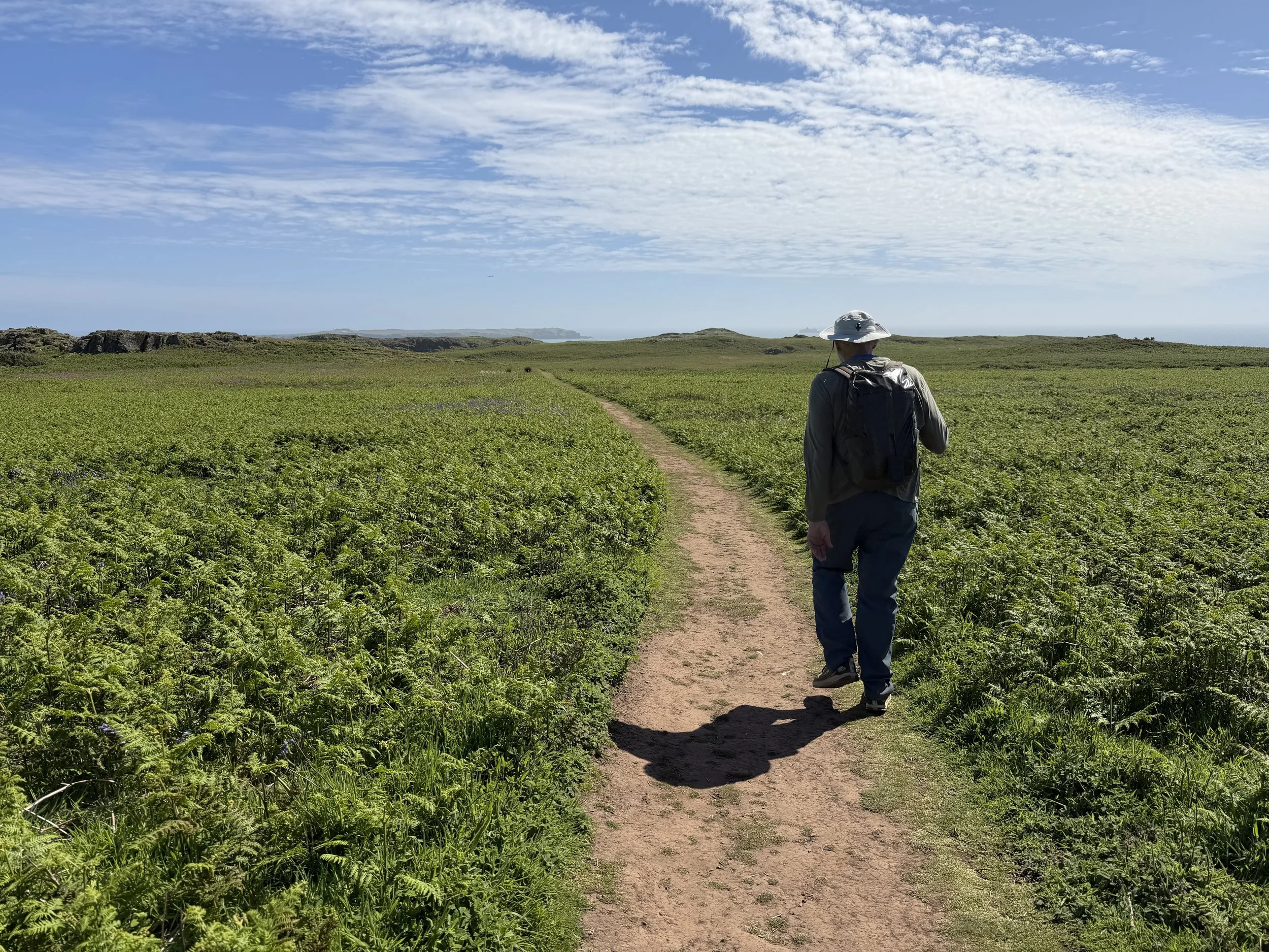
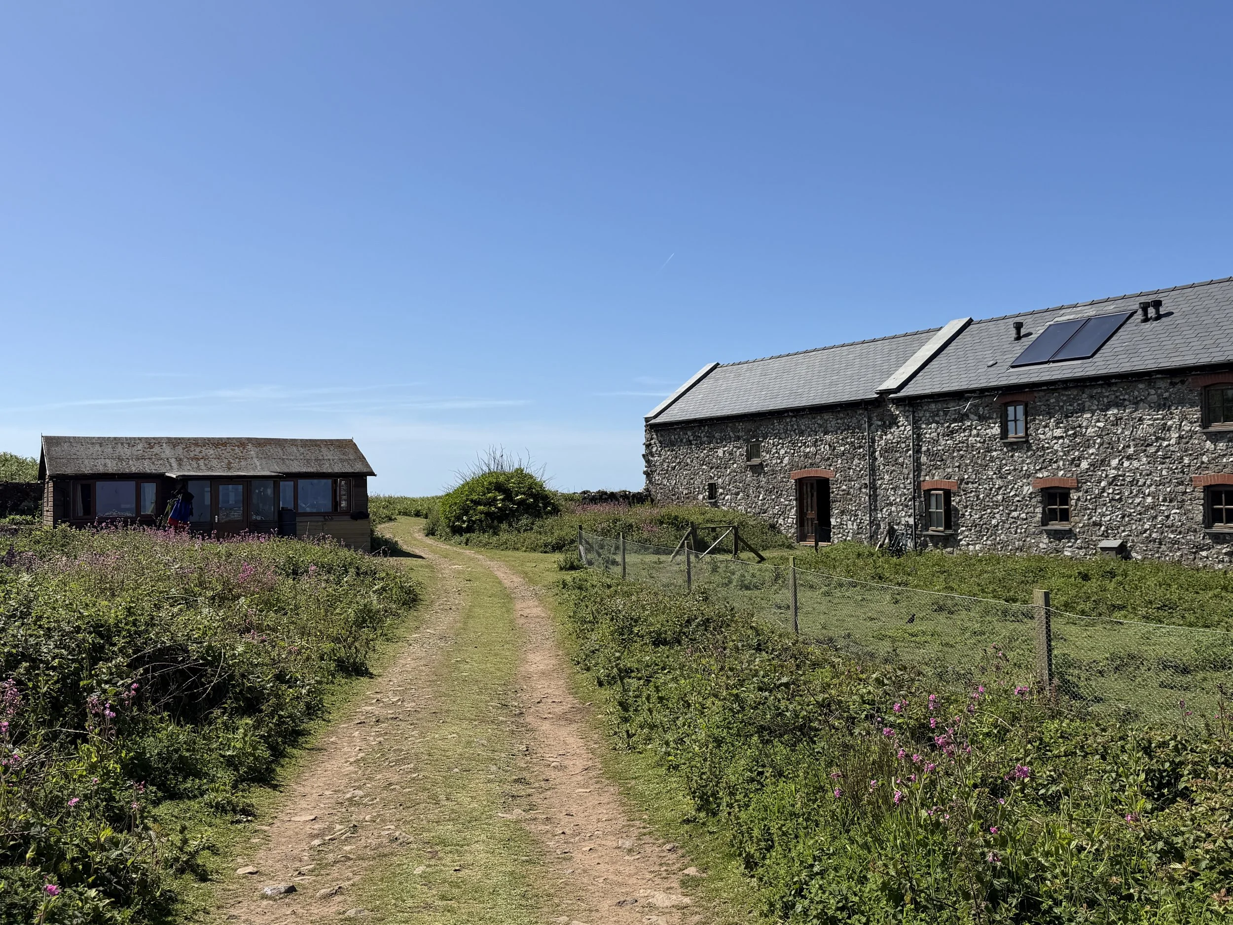
This was our one chance to explore this Nature Reserve so despite the adrenaline and our exhaustion it was time to propel ourselves into gear. We lowered the dinghy off the roof as Meraki rolled wildly, barely managing not to crash the dinghy and her outboard into the side of the boat. We gathered a few things and headed to shore. The tide was coming in so upon arriving at the small beach where you’re allowed to land, we had to drag the dinghy 50 feet uphill over the rocky ground to get above the high water line.
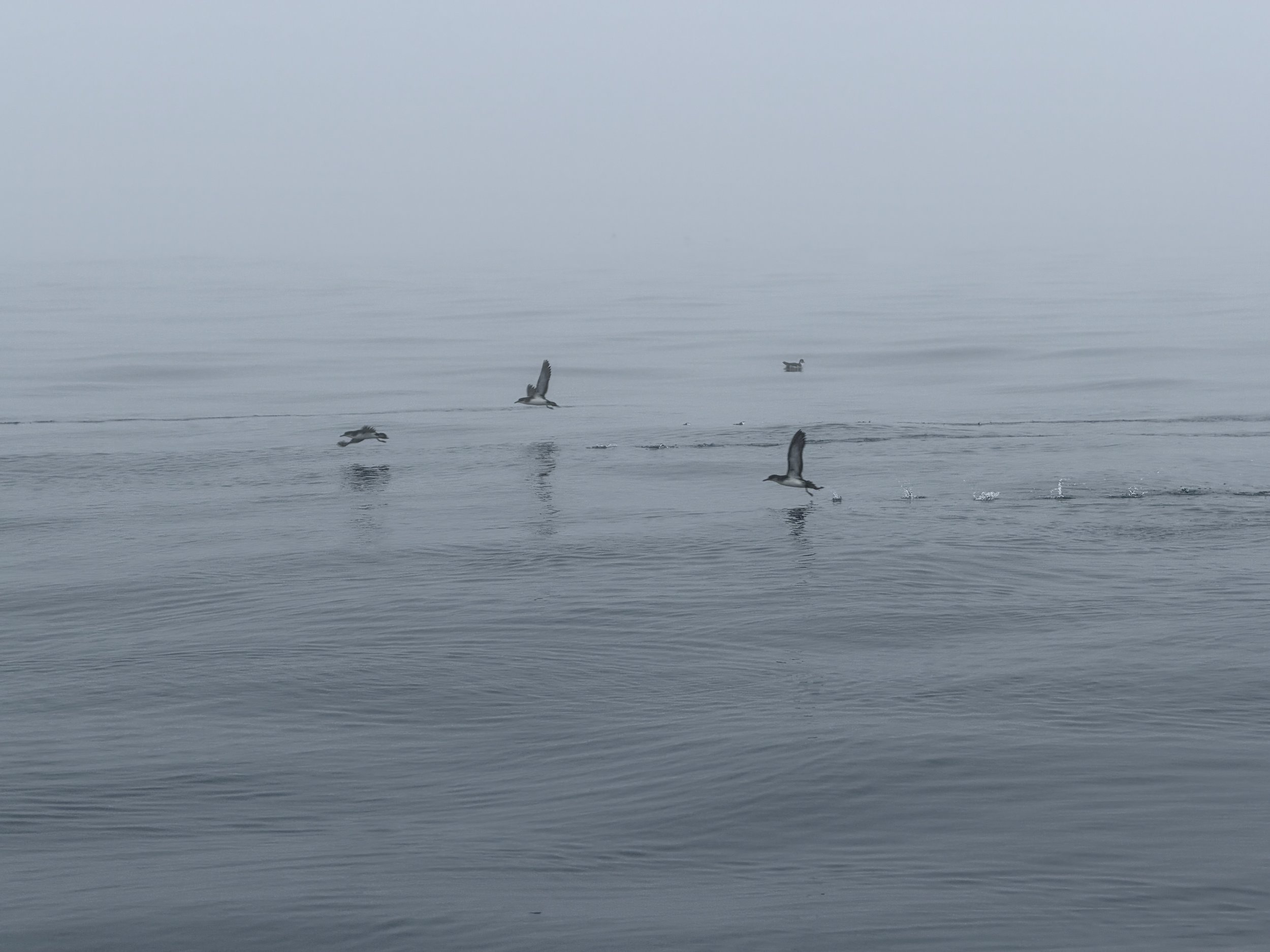
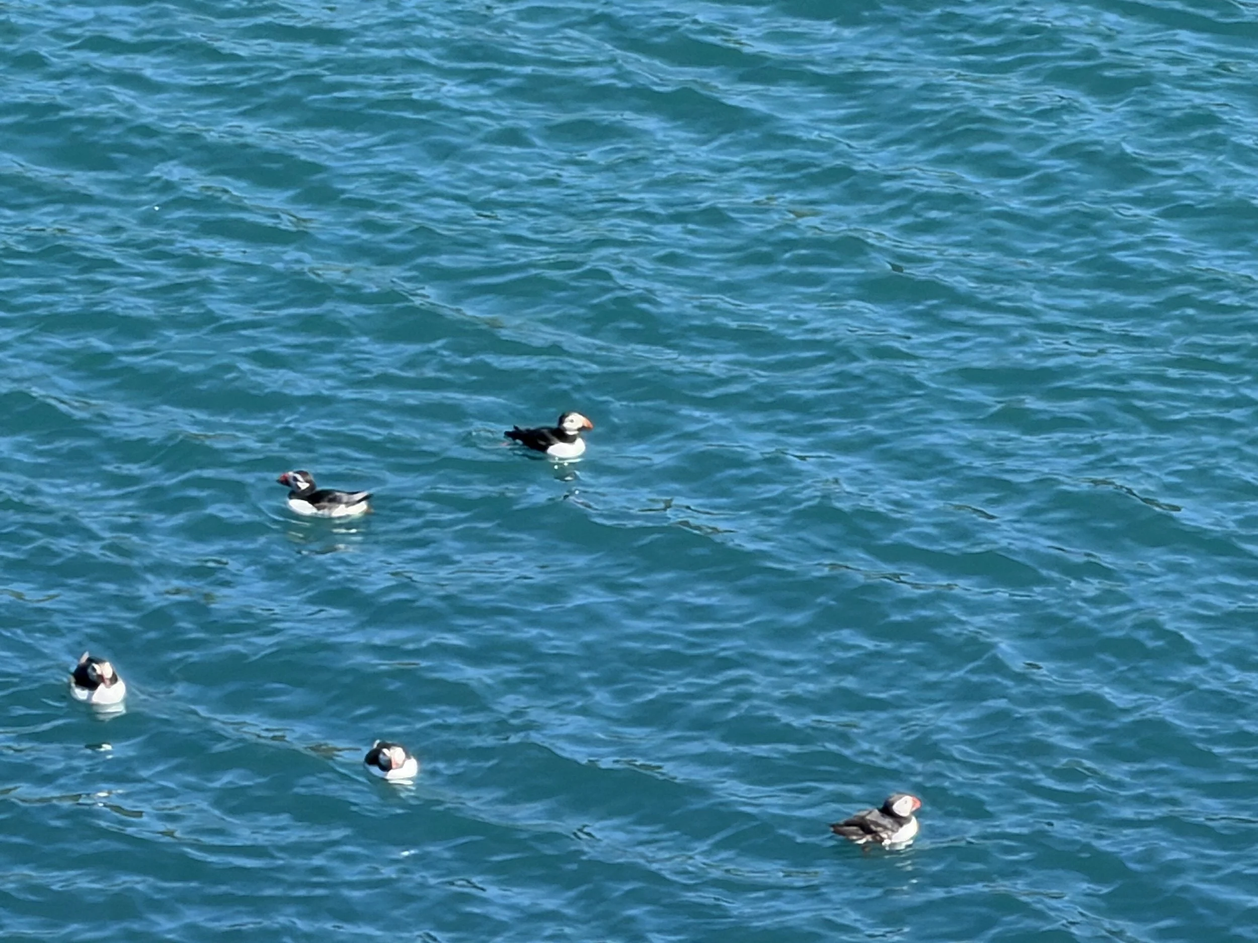
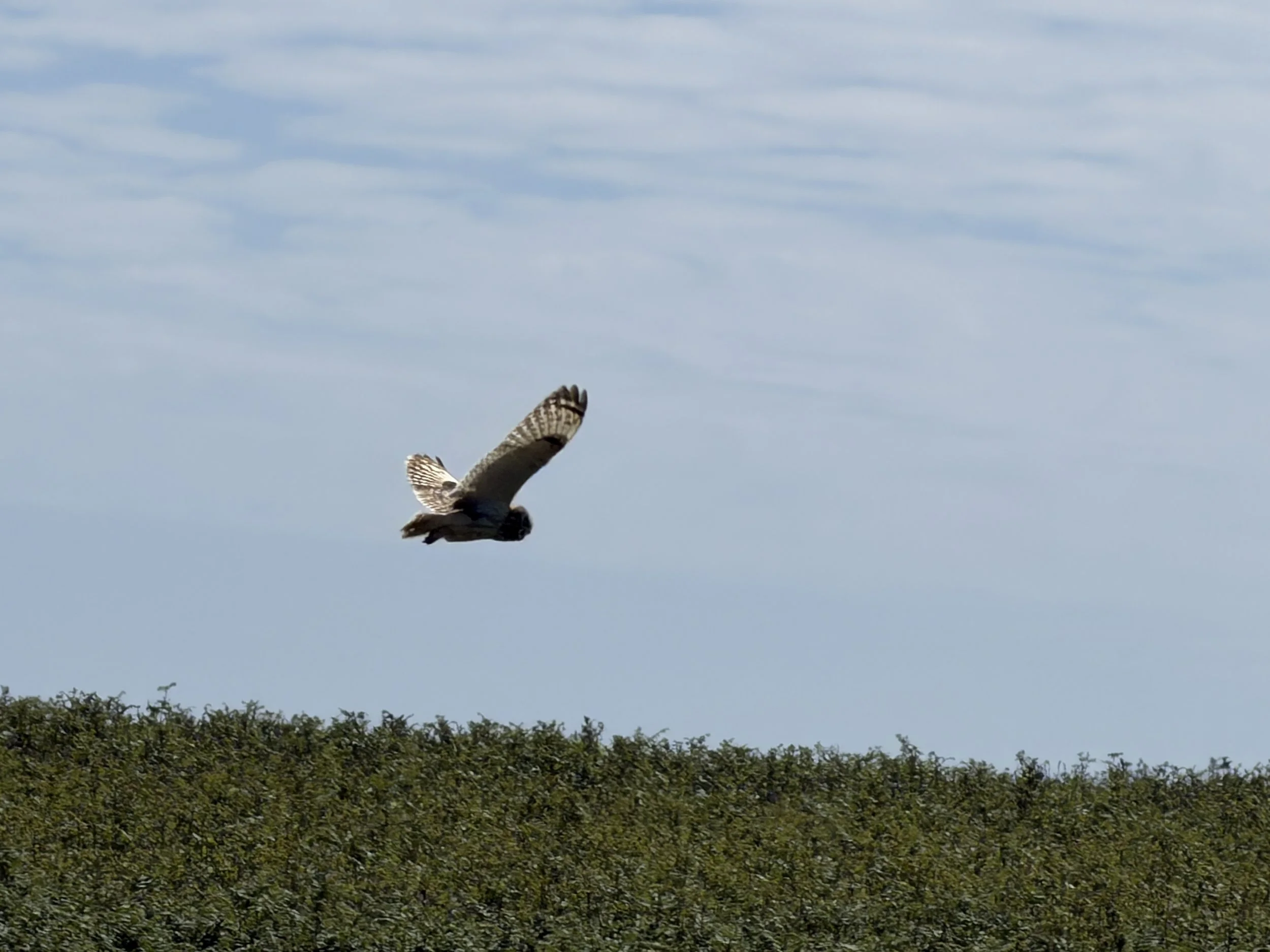
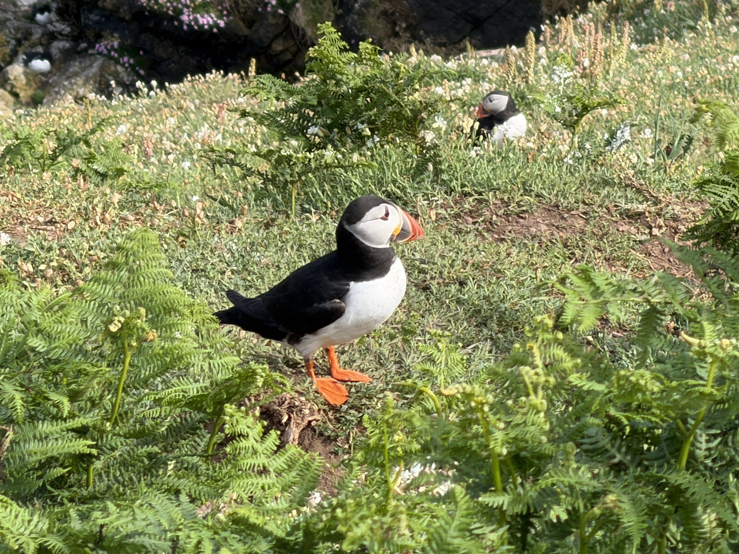
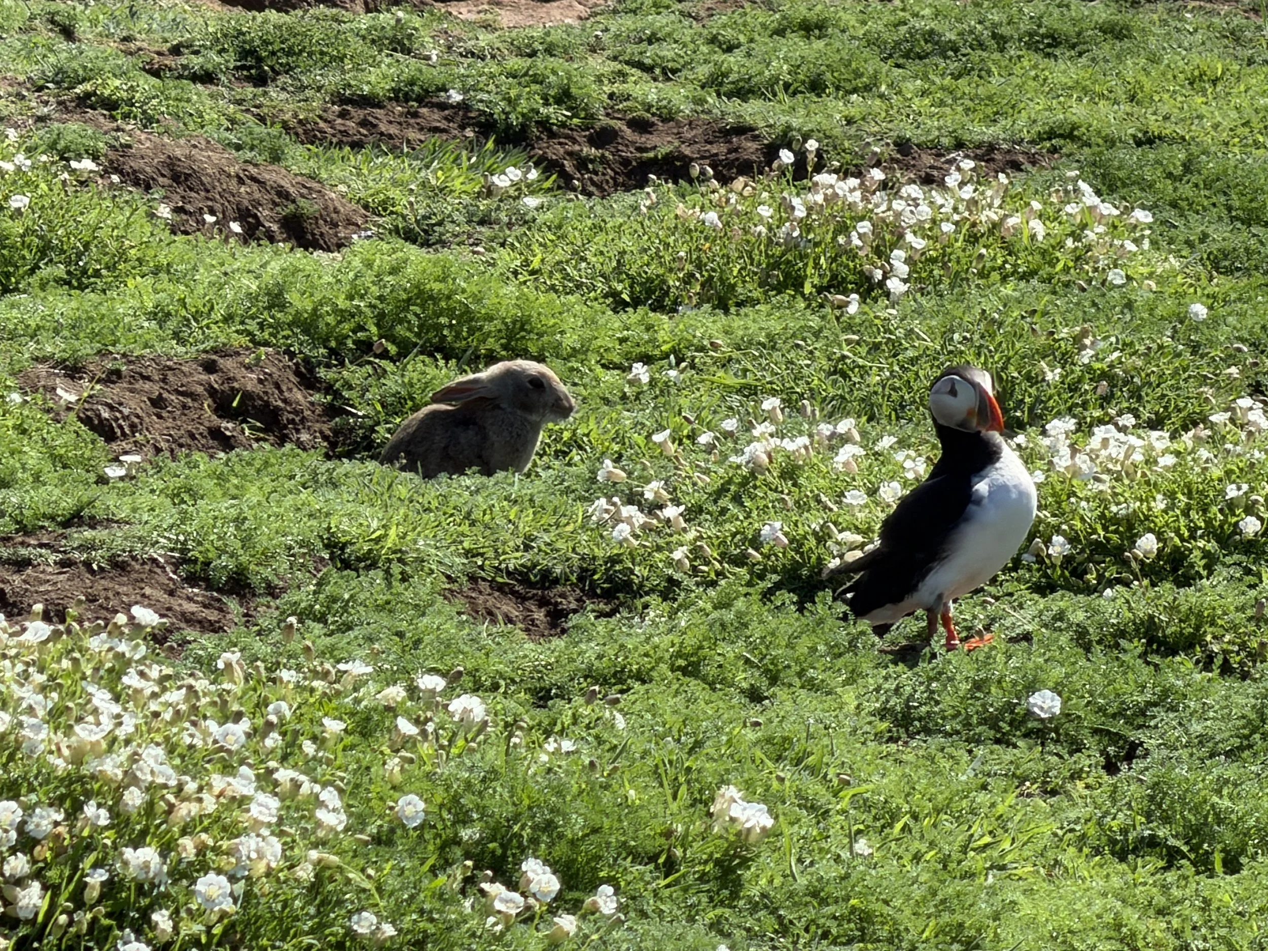
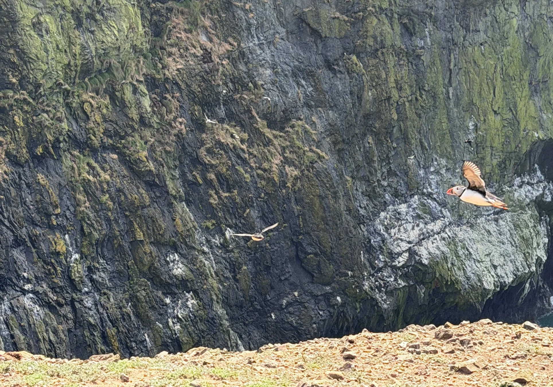
With Raki tied securely ashore we hiked up the headland, paid our admission fee and set off across the island. It felt great to be on solid ground and it was a beautiful sunny day for a slow, leisurely walk. With nearly 350,000 breeding pairs of Manx Shearwaters, over 40,000 Atlantic Puffins, thousands of Guillemots, Razorbills and Kittiwakes and hundreds of Fulmars, Skomer is an internationally important seabird island. Astoundingly, the puffins are not the least bit afraid of people. We quite literally stepped softly between their underground nests in the grassy, peaty slopes at the top of sea cliffs. The sounds were a cacophonous symphony of nature; the high-pitched, piercing calls from gulls, kittiwakes, and terns, the deep, guttural calls from the guillemots and puffins. The atmosphere was humming with thousands of individual calls, rhythmic wing-flaps, and the continual background crash of ocean waves slapping against the cliffs. We were enthralled. Absolutely phenomenal.
Returning to the dinghy a few hours later we were grateful that the water was already lapping at her hull. It was an easy launch and we slowly puttered back to Meraki between the thousands of seabirds drifting nearby. Meraki was still rolling madly but we discussed a better way to deploy/retrieve the dinghy in rolling seas and we did a less harrowing job of returning Raki to her cradle up above on the boat deck.

We were in serious need of a good nights sleep but once again the anchorage wasn’t quite as peaceful as we’d hoped, the swell never quit despite being on the north side of the Island, and well sheltered from the southwest.
It was day three on this journey and we figured we each had had no more than a handful of hours of sleep. Today would be another 13 hour transit to bring us up into the Irish Sea where we believed we would finally escape the influences of the North Atlantic Ocean and the coming low pressure weather system.
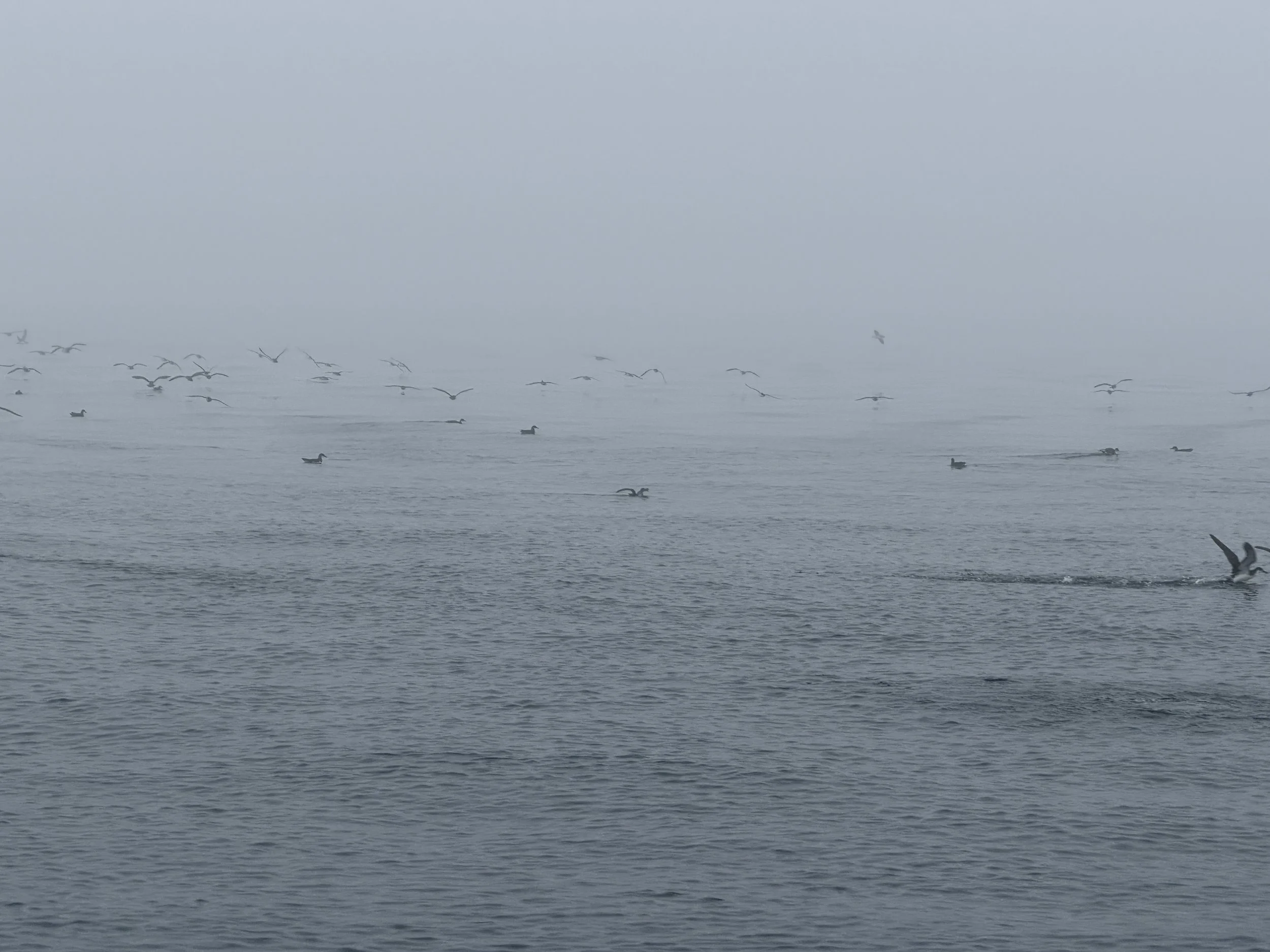
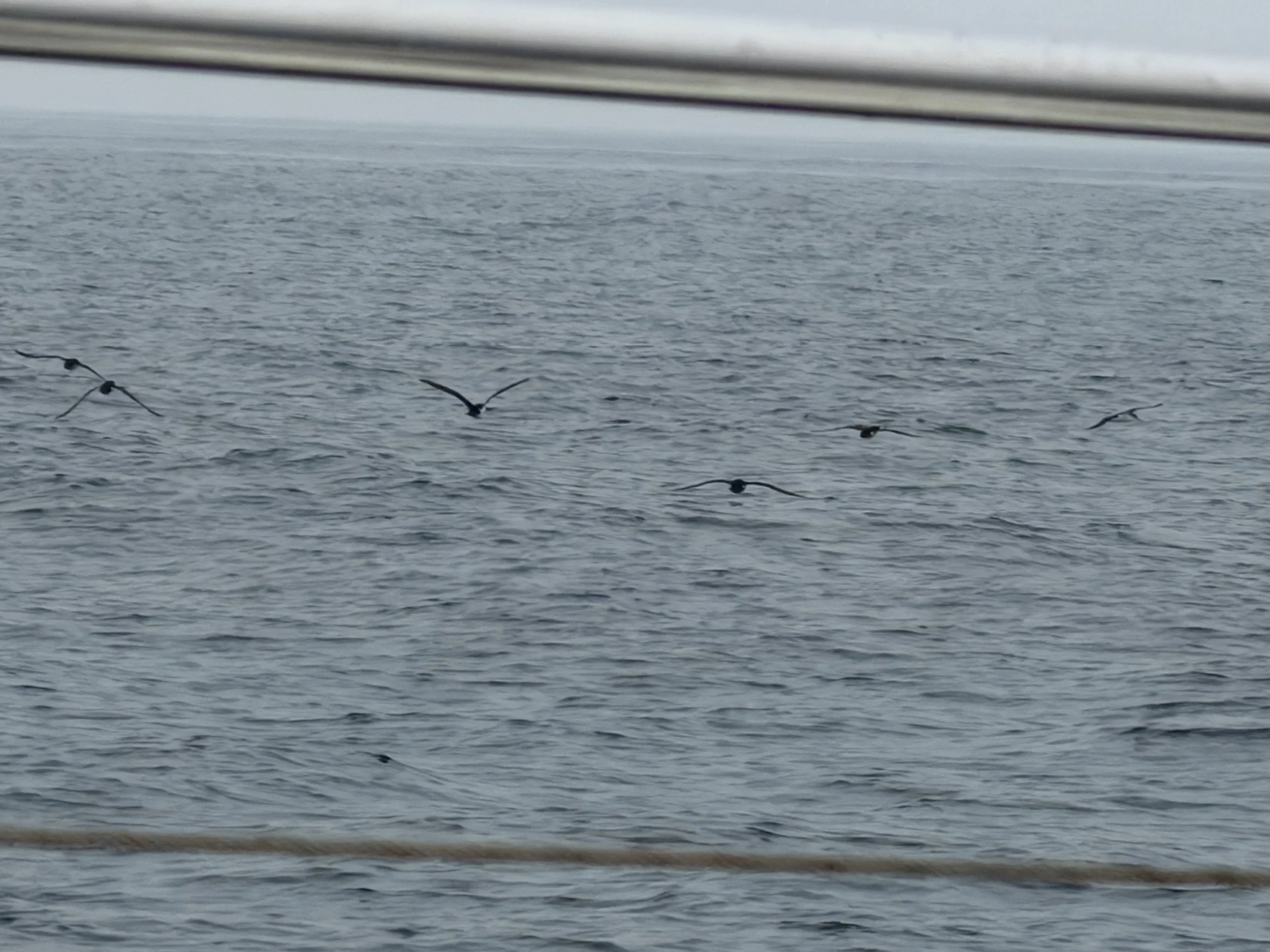
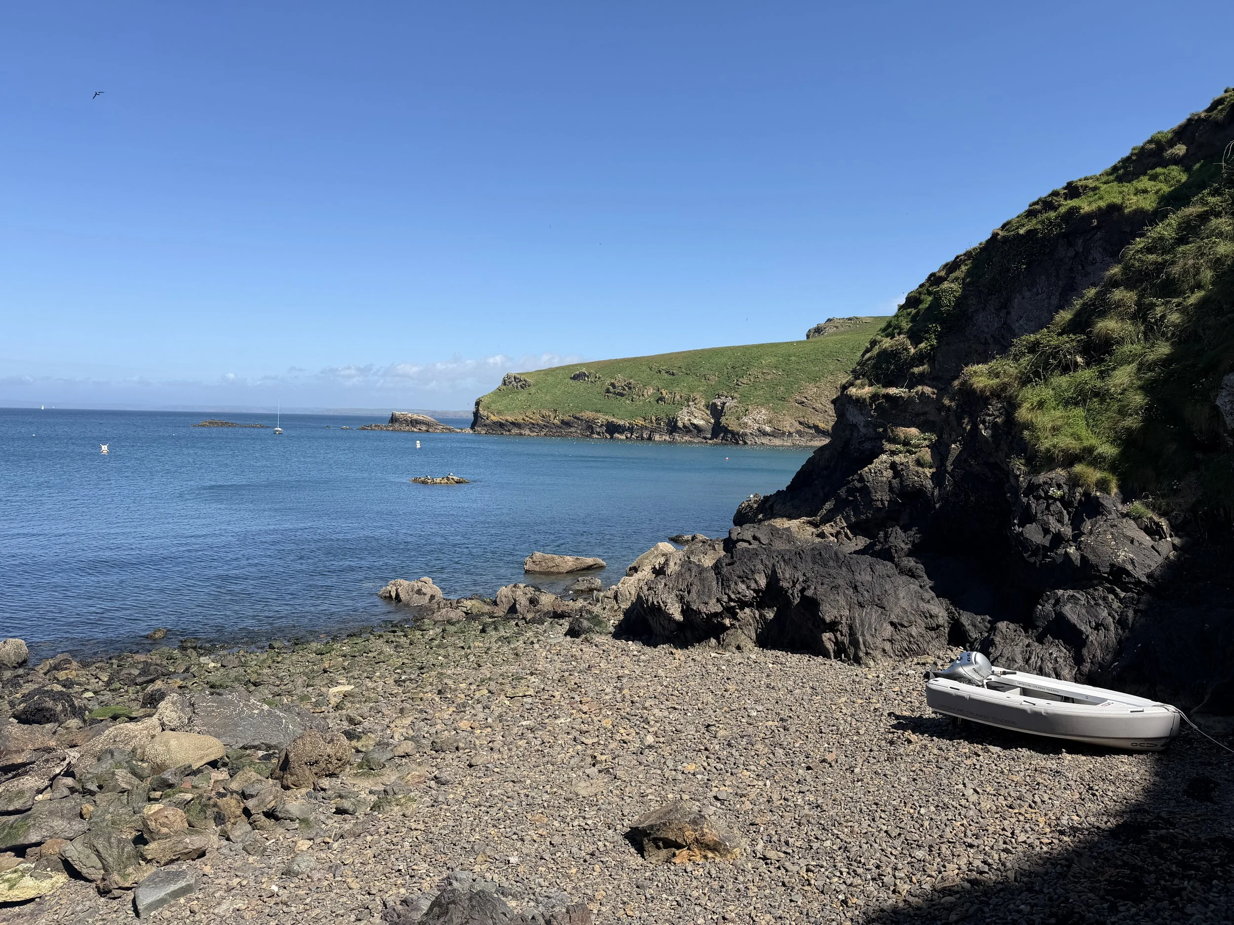
In an attempt to avoid wind against tide leaving Skomer Island, we set our alarm for 4am and were underway shortly thereafter. It would be a 13 hour day if everything went to plan. We were bound for Porthdinllaen, an old fishing village perched on the end of a thin ribbon of land stretching into the Irish Sea. The sea was flat and calm and the low clouds broke just as the sun rose. We enjoyed the current with us for the first half of the journey, moving with a long slow swell astern. The tide changed and with 3 knots against us we once again slowed to a snail’s pace, crawling slowly along before rounding the point into a wide shallow bay. There were a dozen of so other boats anchored in the bay and once settled, we wallowed in the tranquil, undisturbed water, marveling at the gannets dive bombing for fish. Gannets can dive from a height of 30 m (98 ft), achieving speeds of 100 km/h (62 mph) as they strike the water. They can catch fish much deeper than most birds and are spectacularly entertaining to watch! I cooked dinner and we relaxed at last.
So grateful for calm water.
Sadly, the tranquility didn’t last long. A few hours later, just as we were getting into bed, the wind began to howl. We leapt up to see what was happening and realized we were experiencing much higher wind speeds than predicted. Tom went on deck and let out another 20 meters of anchor chain. Needless to say, there were several times in the night, where one or the other of us sprang out of bed to go up and check that we weren’t dragging!
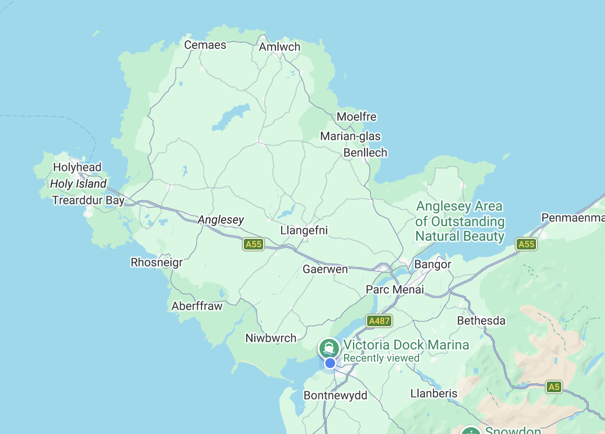
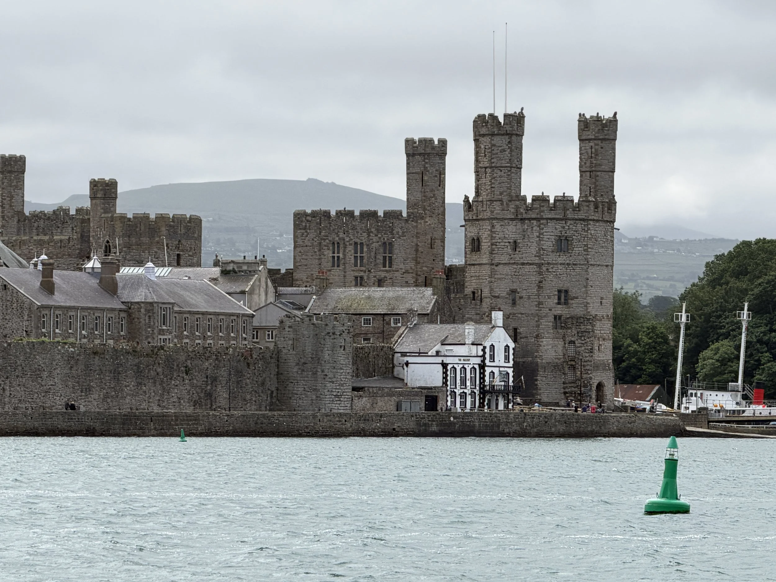
The storm we’d been running from was now upon us and we needed a marina. The next leg of the voyage would be a short passage but the timing was critical. We were headed into the Menai Strait, a narrow stretch of water that separates mainland Wales from the Isle of Anglesey. Menai comes from the Welsh ‘main-aw’ meaning narrow. This 16 mile long strip of highly tidal water is famed for the savage tides that rip through at alarming rates. Once again we were anxious about this transit.
We had read, planned, calculated and recalculated. The coastline around North Wales and around the Isle of Angelsey has a reputation as being subject to super strong tidal currents which are quite complex - in particular, the currents around Angelsey are influenced by the tidal currents in and out of both the south end and the north end of the Irish sea. To complicate things further, there are areas around the UK coastline where there are differences between high/low water and slack water.
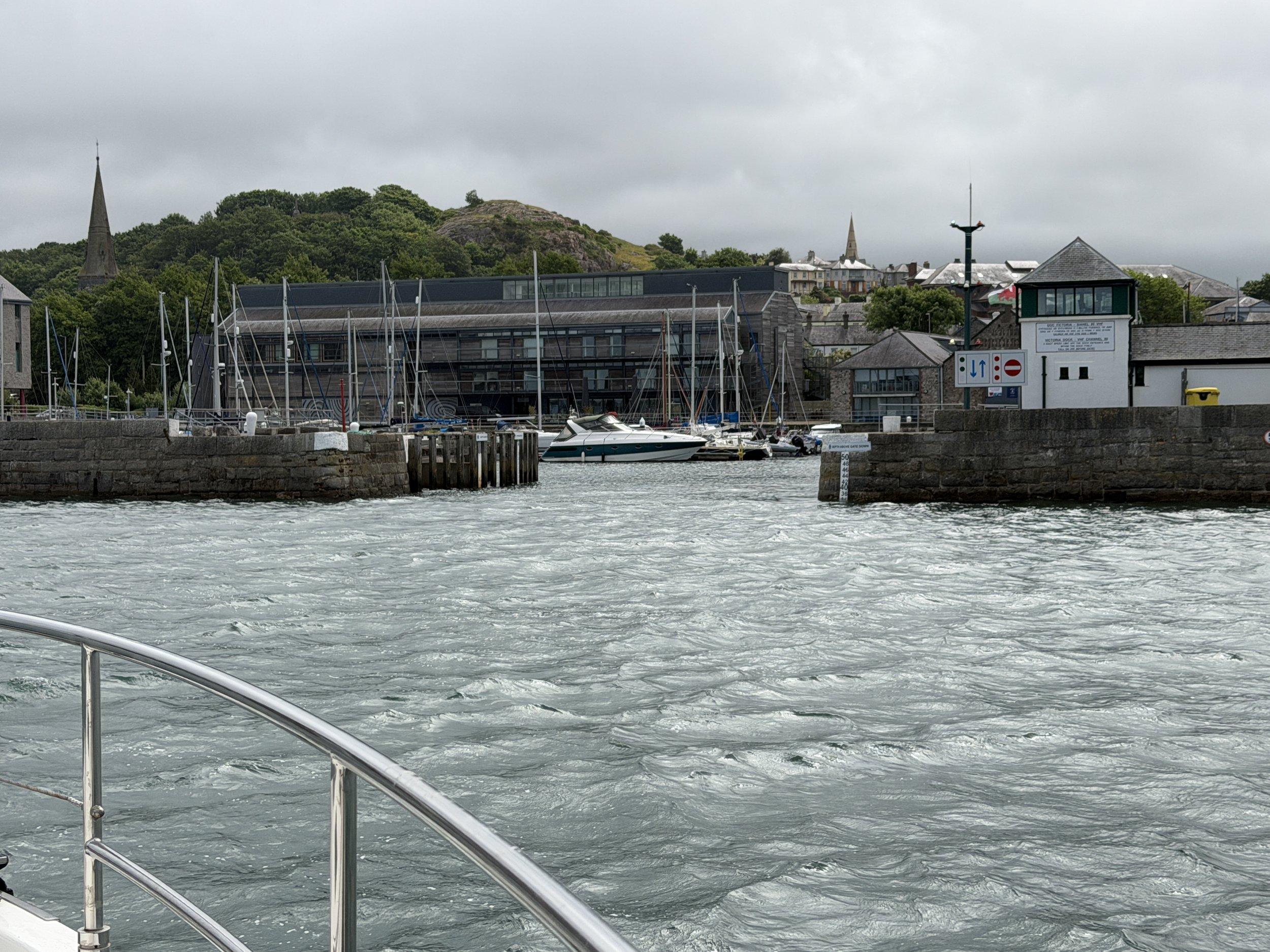
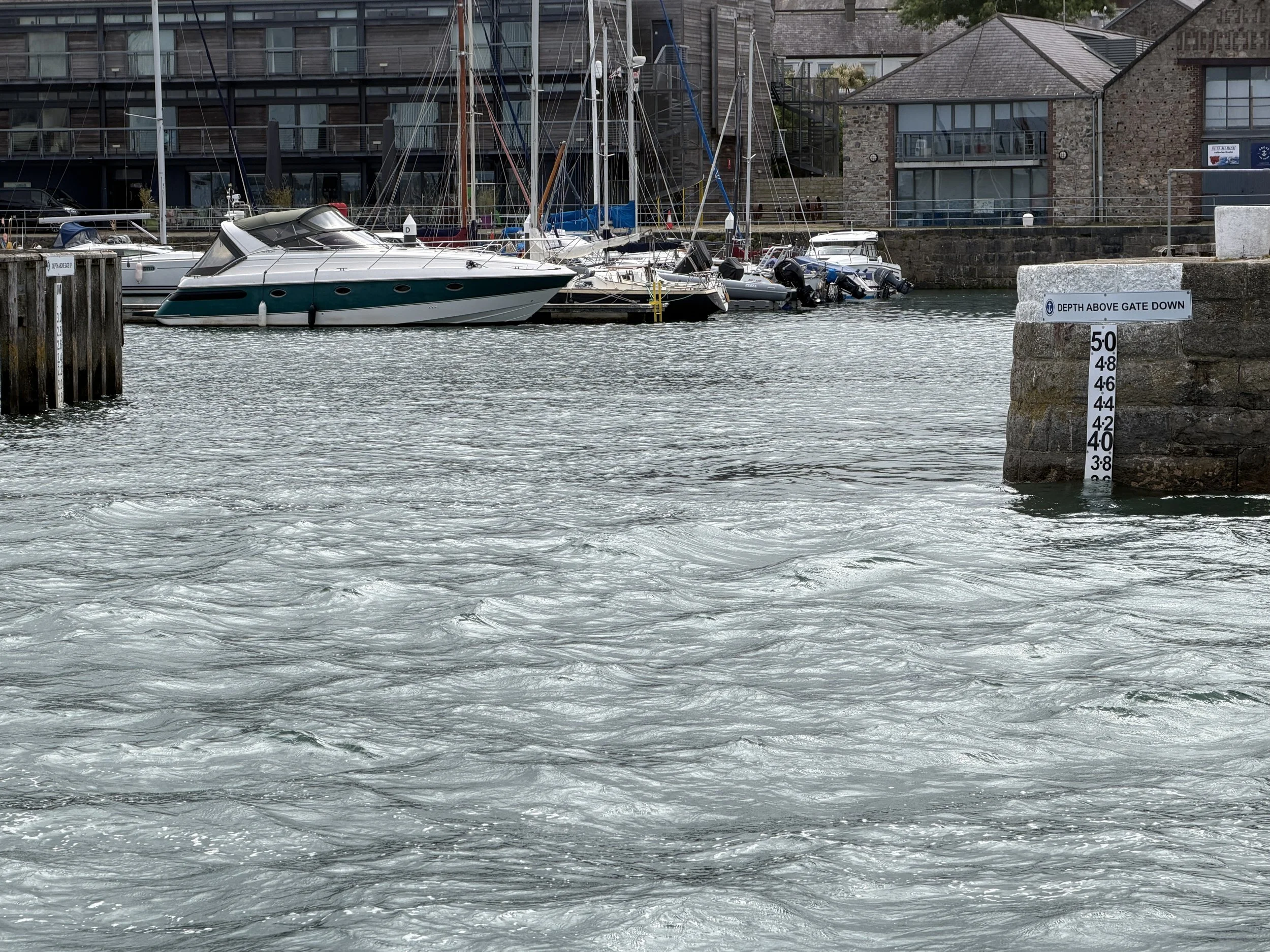
We called Victoria Dock Marina to secure a berth. Access there is tide-dependent, requiring vessels navigate through the flap gates, a sill which is raised and lowered to maintain the depth inside the harbor. It is open for just a few hours twice a day. The Dock Master had informed us of the opening times and we realized our calculations were an hour off as we’d not taken into account BST (British Summer Time) - the equivalent of daylight savings! We thanked her and revisited our calculations.
We now had an extra hour which made for a comfortable departure at 8am arriving at the entrance to the Strait two hours later. It was slack water, just what we’d planned, and although the navigational aids were not where indicated on the chart, it was an easy passage up to the marina. The gate was open when we arrived and we slid smoothly through. Tying up at the visitors dock we found complete, exquisite, comforting solace. Time to pause, rest, and recharge.
Note: photo captions will not appear if viewing on a cell phone.